YouVisible
Sign In
  • Home
  • Professional
  • Pricing
  • Today on YouVisible
  • Community ⌄
    • Ask YouVisible
    • Sports calendar
    • Routes
    • Workouts
    • Health and Wellbeing
  • Ask YouVisible
Sign In

Find your next route

Explore hiking, running, trail running and cycling routes that suit your plans.

Hiking, strength training, mobility, running, cycling and nutrition
Ask us Ask the YouVisible community. Calendar Your next dates and events. Routes Ideas and recommended trails. Gym Workouts, plans and progress. Wellbeing Habits, health and balance.
Search filters
Disciplines
All
Distance
Advanced filters
Elevation gain
Estimated duration

No proximity restriction

Routes (501)

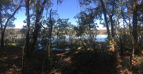
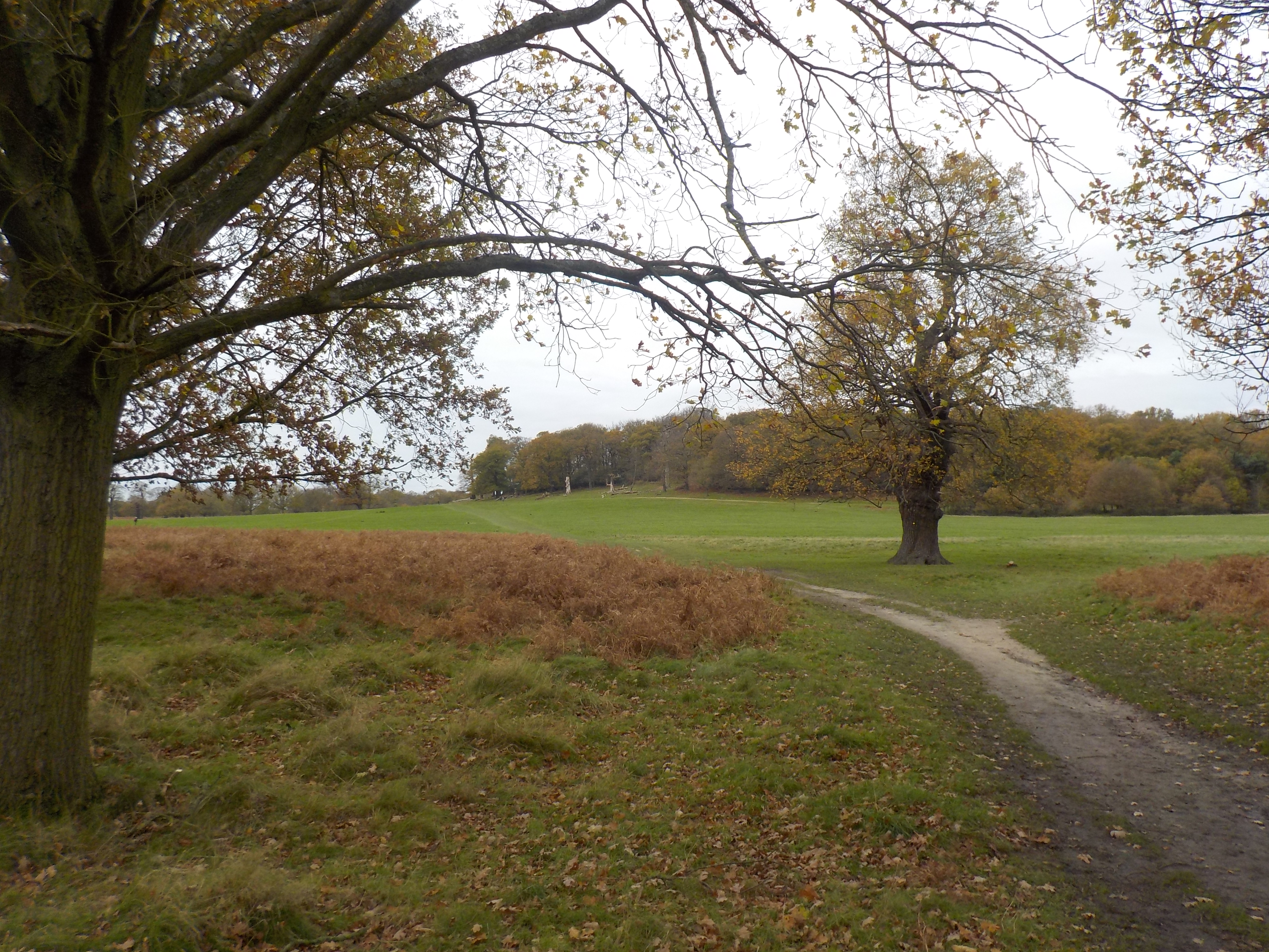
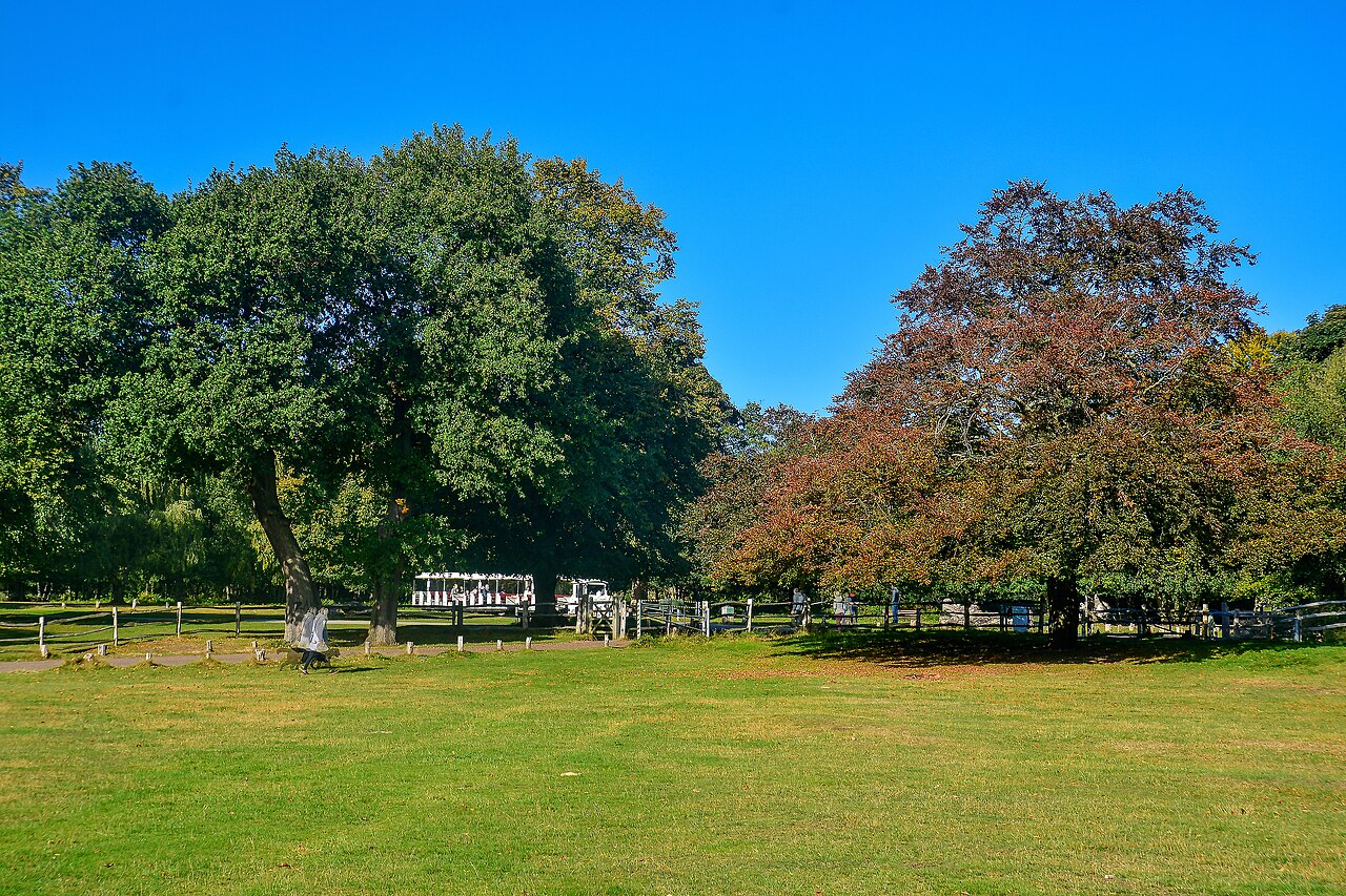
Route surroundings · Sutton Coldfield , Sutton Park - geograph.org.uk - 6692015.jpg
Routes

England · United Kingdom

Lichfield to Sutton Coldfield · Walking route via Shenstone

Complete published reference itinerary: Lichfield to Sutton Coldfield · Walking route via Shenstone. The complete native provider GPX is retained. The gallery shows identified local surroundings and does not position photographs on the track. Distance: 23.124 km.

Distance: 23.12 km
Elevation gain: ↑ 241 m
Hiking and mountaineering · 5 h 40 min · HikingPublished by YouVisible SportDownload YouVisible
View route
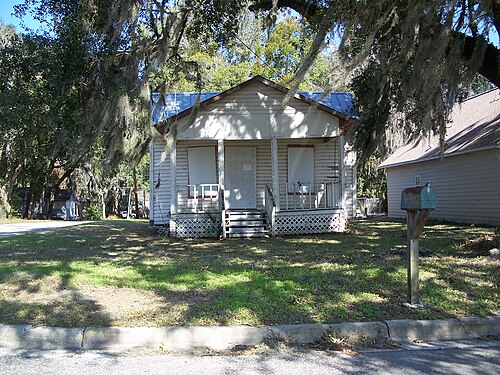
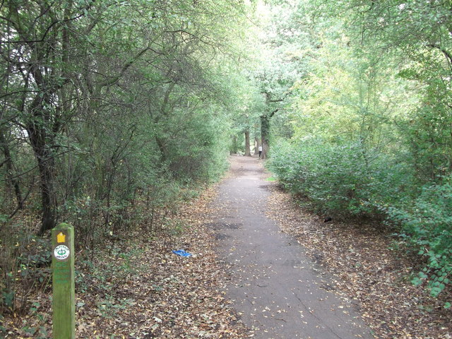
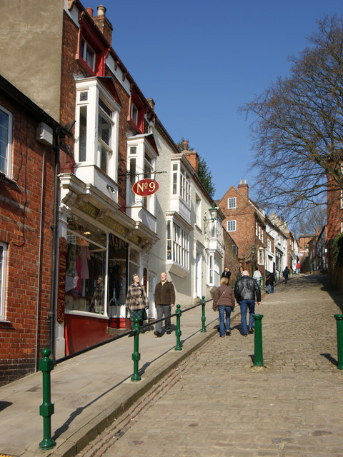
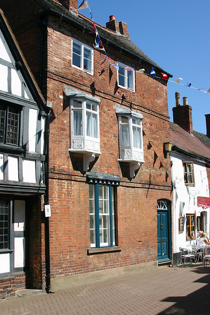
Route surroundings · 16 Dam Street, Lichfield - geograph.org.uk - 2963565.jpg
Routes

England · United Kingdom

Cannock Chase to Lichfield · Walking route via Bridgtown and Burntwood

Complete published reference itinerary: Cannock Chase to Lichfield · Walking route via Bridgtown and Burntwood. The complete native provider GPX is retained. The gallery shows identified local surroundings and does not position photographs on the track. Distance: 28.553 km.

Distance: 28.55 km
Elevation gain: ↑ 262 m
Hiking and mountaineering · 7 h · HikingPublished by YouVisible SportDownload YouVisible
View route
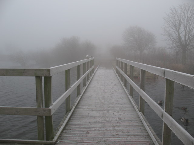
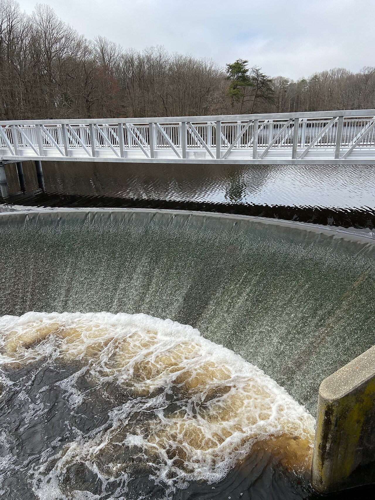
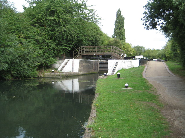
Route surroundings · Chasewater Footbridge - geograph.org.uk - 900916.jpg
Routes

England · United Kingdom

Chasewater · Walking route

Complete published reference itinerary: Chasewater · Walking route. The complete native provider GPX is retained. The gallery shows identified local surroundings and does not position photographs on the track. Distance: 18.895 km.

Distance: 18.9 km
Elevation gain: ↑ 148 m
Hiking and mountaineering · 4 h 35 min · HikingPublished by YouVisible SportDownload YouVisible
View route
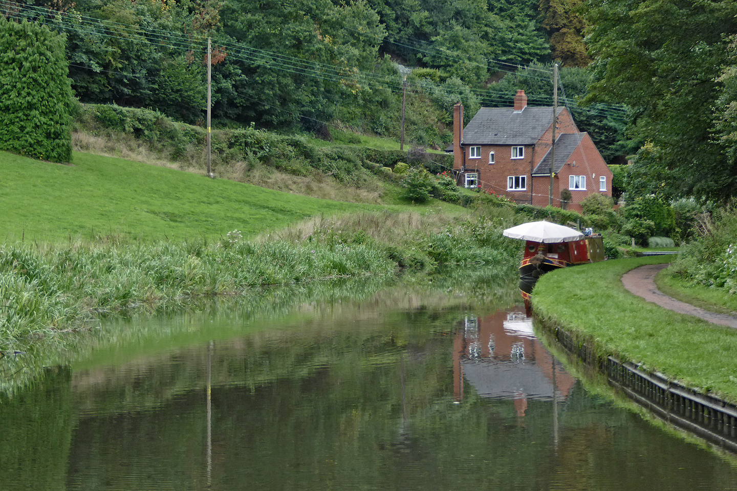
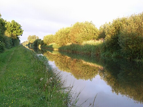
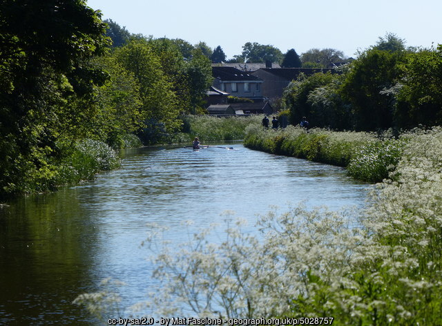
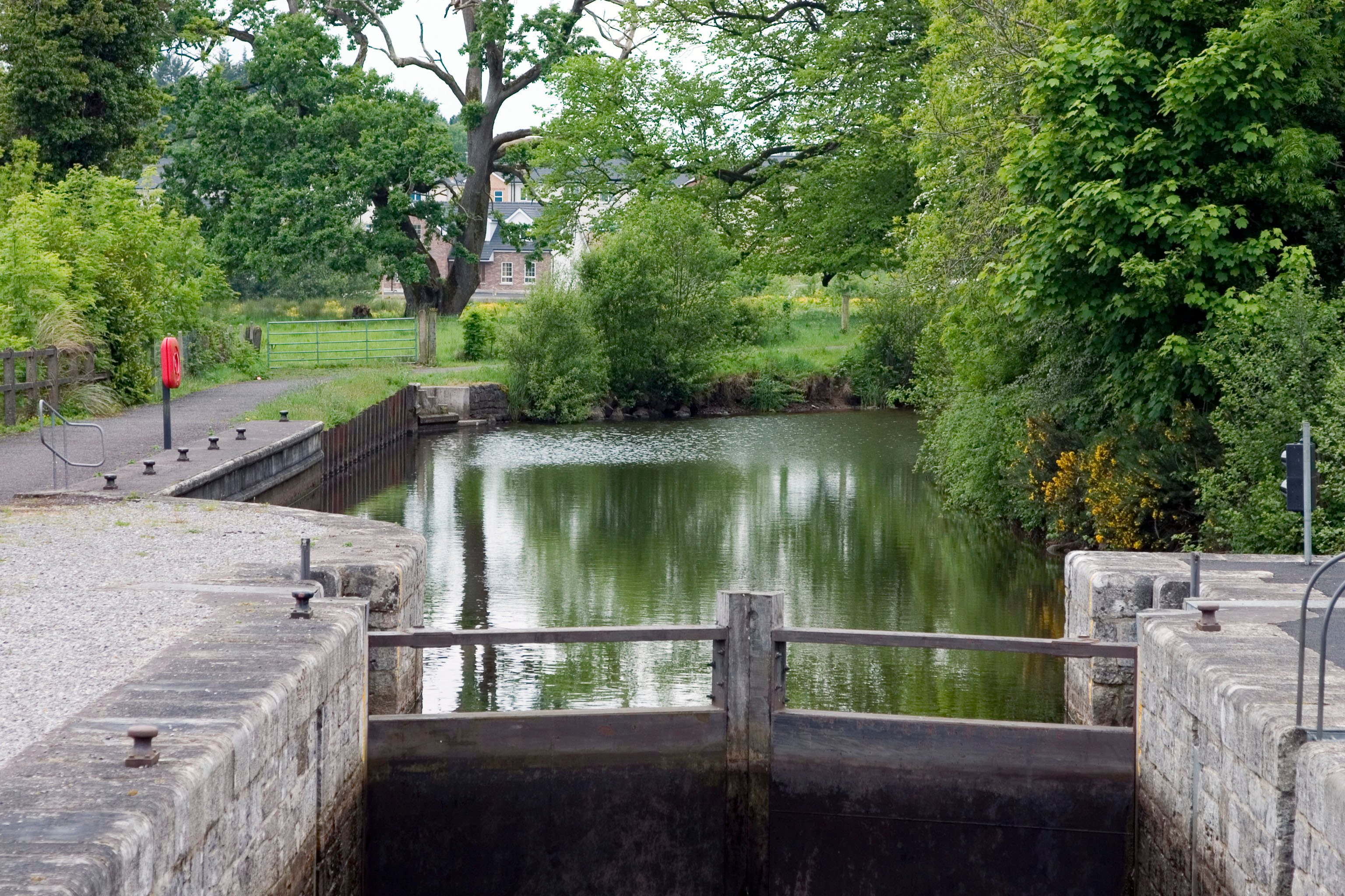
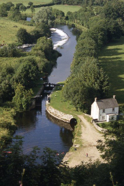
Route surroundings · Canal at Dunsley near Kinver in Staffordshire - geograph.org.uk - 7203439.jpg
Routes

England · United Kingdom

South Staffordshire · Road circuit via Swindon, Stourton and Kinver

Complete published reference itinerary: South Staffordshire · Road circuit via Swindon, Stourton and Kinver. The complete native provider GPX is retained. The gallery shows identified local surroundings and does not position photographs on the track. Distance: 51.604 km.

Distance: 51.6 km
Elevation gain: ↑ 747 m
Cycling · 2 h 35 min · Cycling roadPublished by YouVisible SportDownload YouVisible
View route
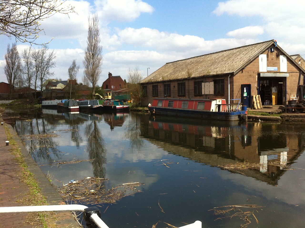
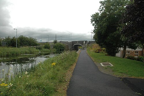
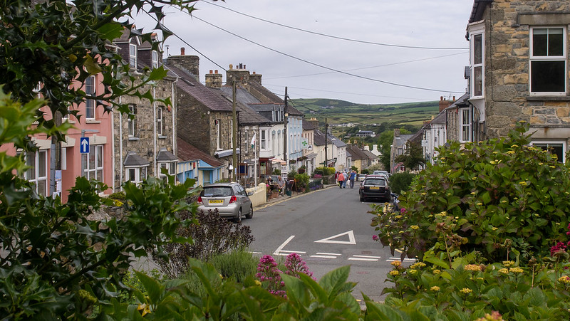
Route surroundings · Birchills.canal.yard.1.jpg
Routes

England · United Kingdom

Walsall Canal · Cycling circuit with walking transfers

Complete published reference itinerary: Walsall Canal · Cycling circuit with walking transfers. The complete native provider GPX is retained. The gallery shows identified local surroundings and does not position photographs on the track. Distance: 56.614 km.

Distance: 56.61 km
Elevation gain: ↑ 471 m
Cycling · 2 h 45 min · Cycling roadPublished by YouVisible SportDownload YouVisible
View route
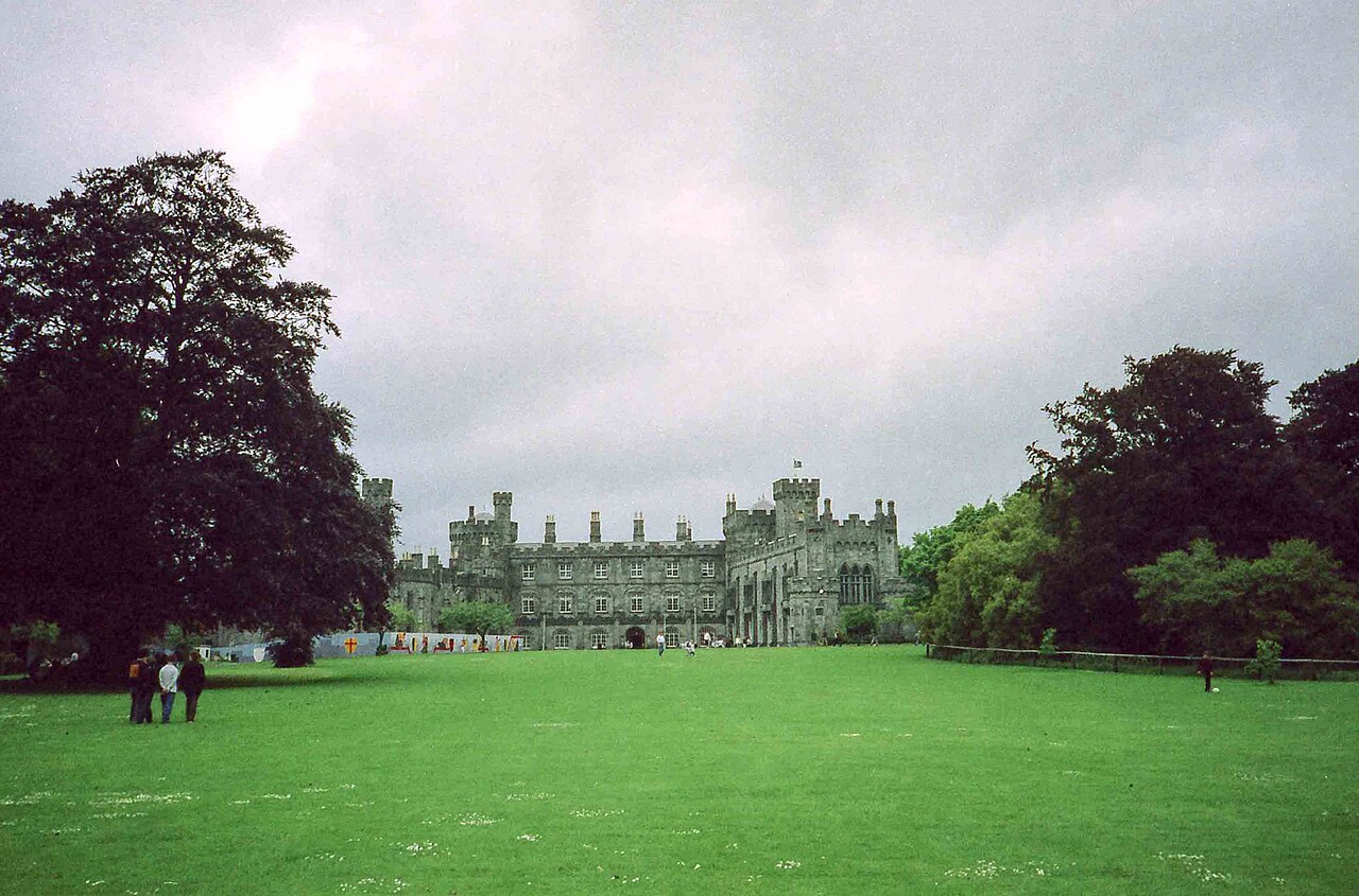
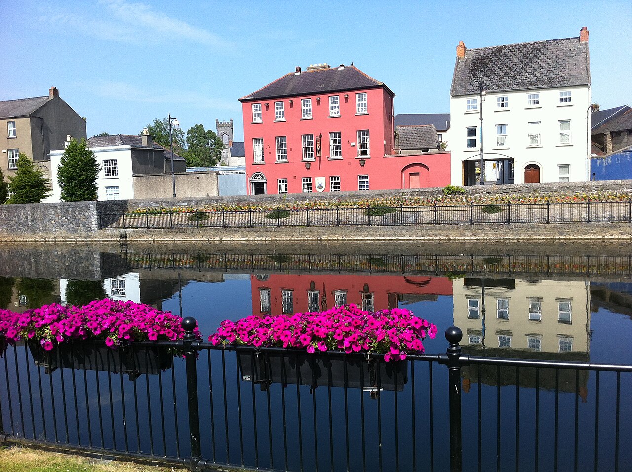
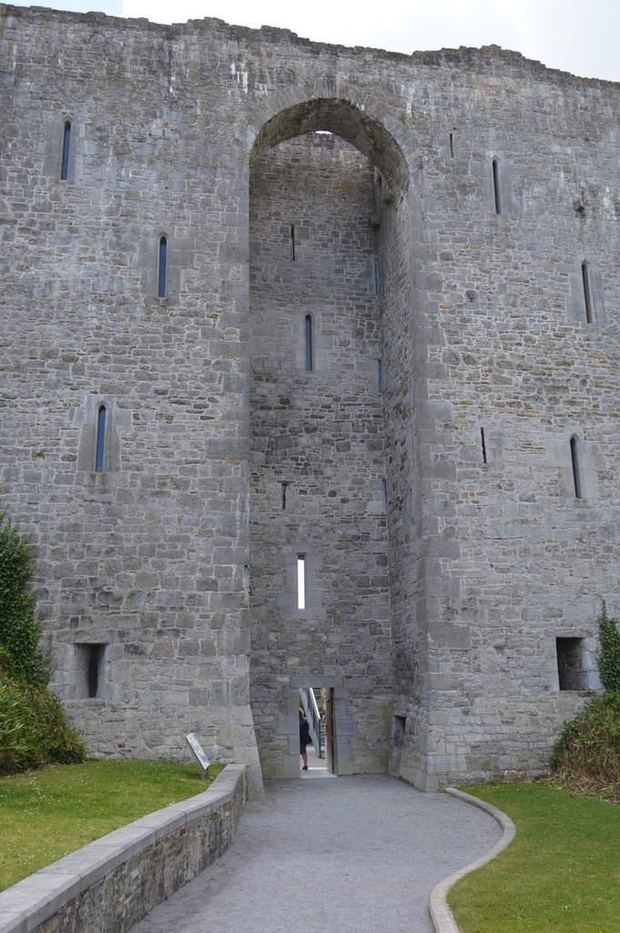
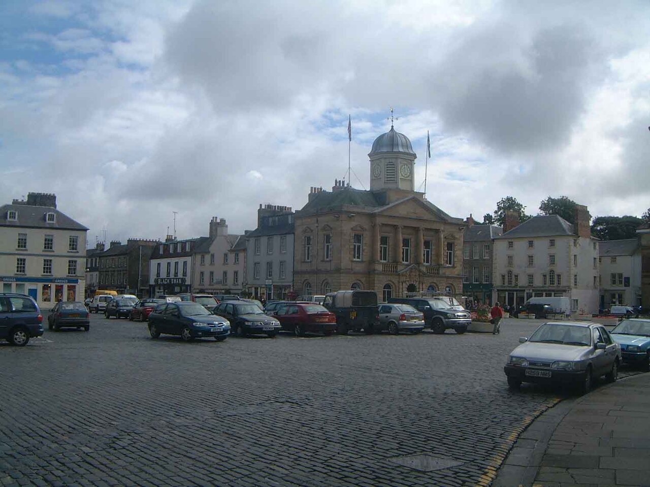
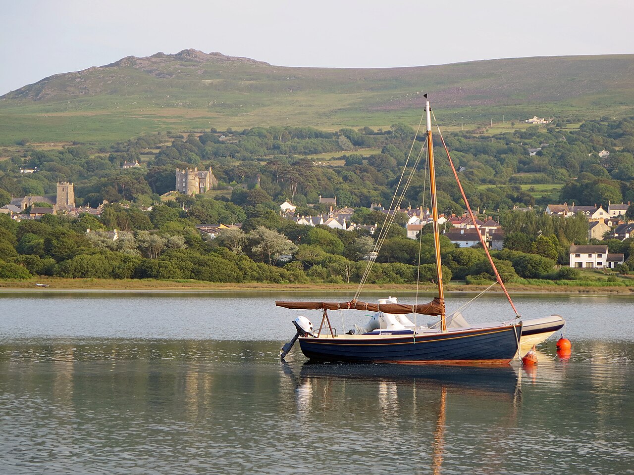
Route surroundings · In the grounds of Kilkenny Castle - June 1994 - geograph.org.uk - 6762951.jpg
Routes

Leinster · Ireland

Kilkenny · Duck Pond walking circuit

Complete published reference itinerary: Kilkenny · Duck Pond walking circuit. The complete native provider GPX is retained. The gallery shows identified local surroundings and does not position photographs on the track. Distance: 6.479 km.

Distance: 6.48 km
Elevation gain: ↑ 107 m
Hiking and mountaineering · 1 h 35 min · HikingPublished by YouVisible SportDownload YouVisible
View route
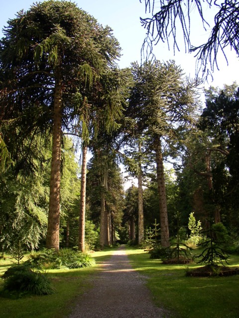
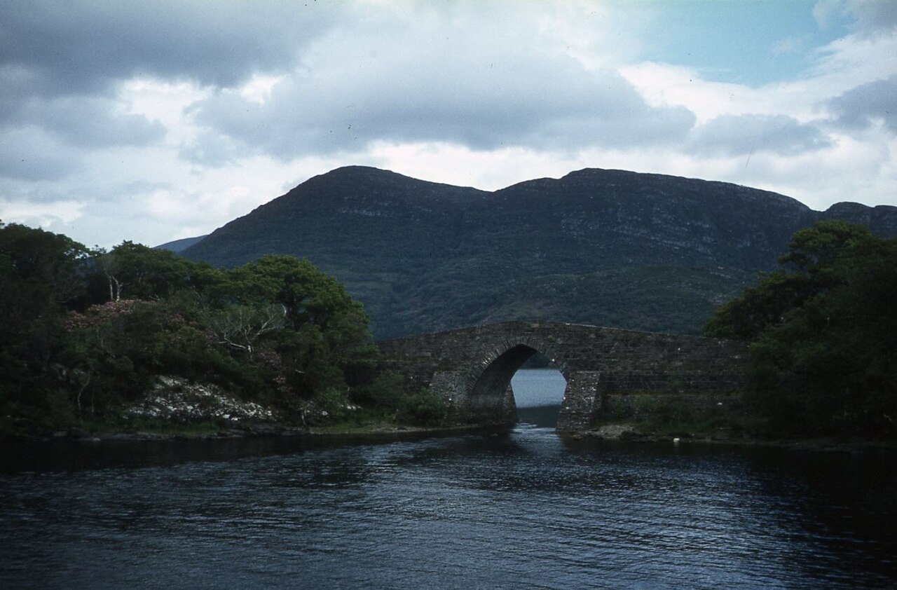
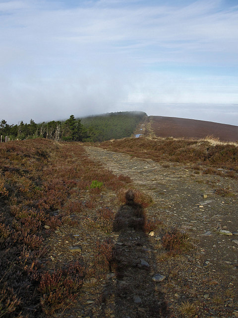
Route surroundings · Monkey Puzzle Drive, Woodstock, Inistioge, Co. Kilkenny - geograph.org.uk - 205302.jpg
Routes

Leinster · Ireland

River Nore · Walking route from Inistioge

Complete published reference itinerary: River Nore · Walking route from Inistioge. The complete native provider GPX is retained. The gallery shows identified local surroundings and does not position photographs on the track. Distance: 20.935 km.

Distance: 20.94 km
Elevation gain: ↑ 465 m
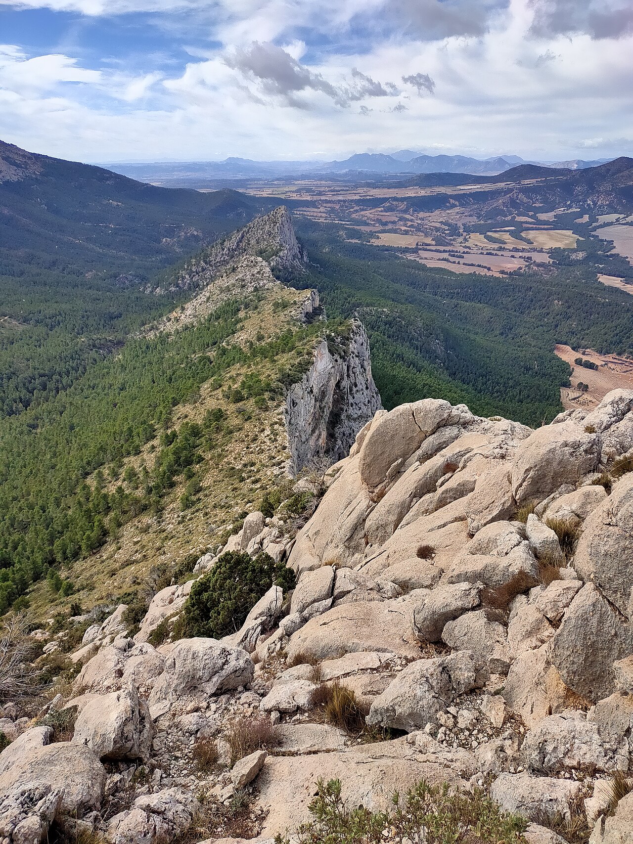
Hiking and mountaineering · 5 h 30 min · HikingPublished by YouVisible SportDownload YouVisible
View route
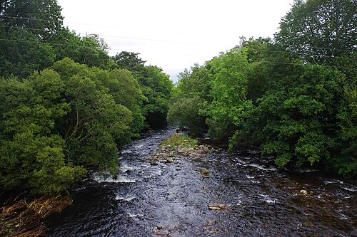
Route surroundings · Along the River Nore - geograph.org.uk - 3627034.jpg
Routes

Leinster · Ireland

River Nore · Walking circuit from Kilkenny
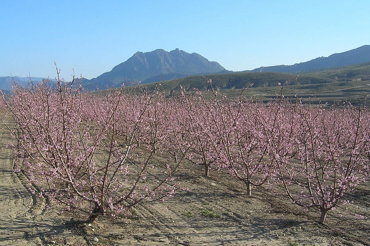
Complete published reference itinerary: River Nore · Walking circuit from Kilkenny. The complete native provider GPX is retained. The gallery shows identified local surroundings and does not position photographs on the track. Distance: 25.245 km.

Distance: 25.25 km
Elevation gain: ↑ 367 m
Hiking and mountaineering · 6 h 15 min · HikingPublished by YouVisible SportDownload YouVisible
View route
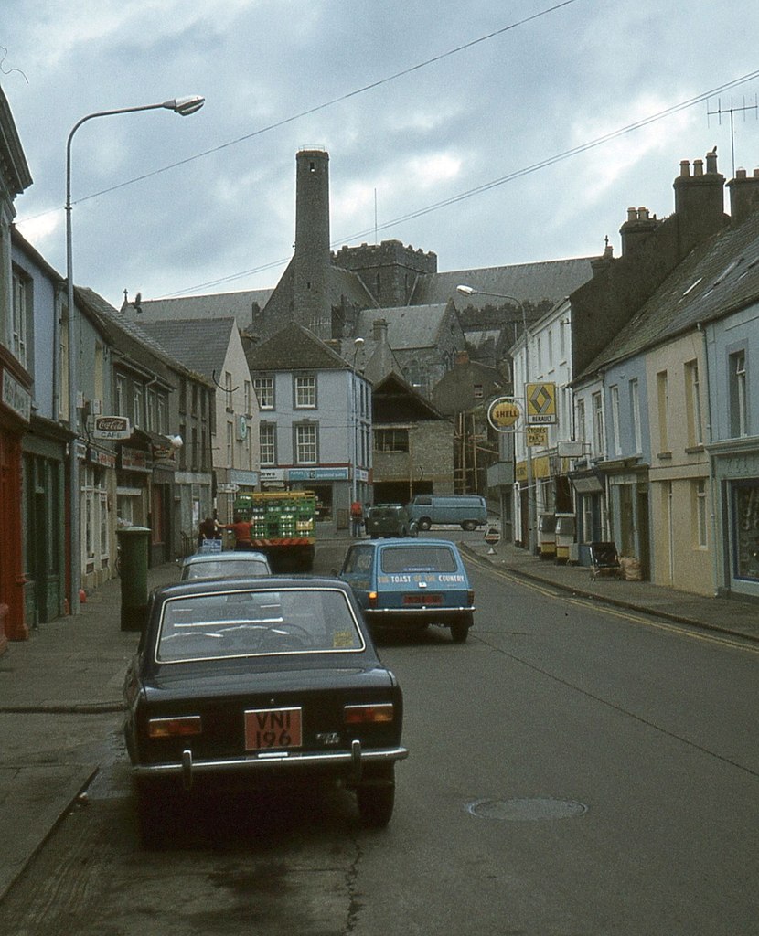
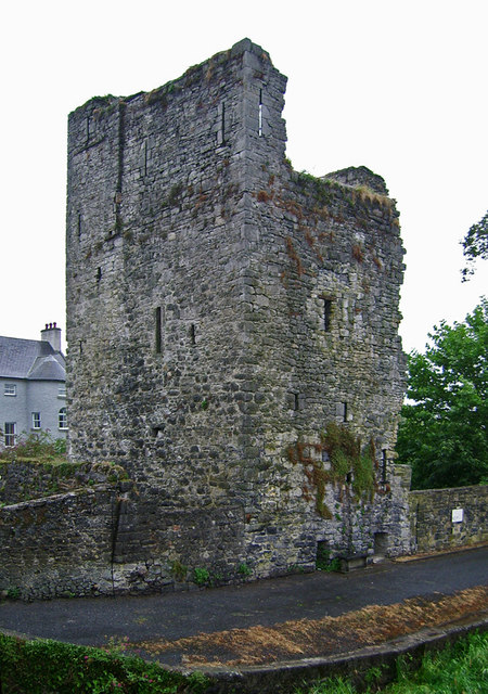
Route surroundings · Irishtown, Kilkenny - geograph.org.uk - 3433969.jpg
Routes

Leinster · Ireland

North Kilkenny Cycle Loop

Complete registered cycling itinerary in County Kilkenny. The official source retains all mapped sections; reliable elevations are unavailable. The orientative completion time comes from Sport Ireland. Photographs show identified Kilkenny surroundings and do not imply viewpoints on the track. Sport Ireland · National Trails Register · CC BY 4.0 · https://creativecommons.org/licenses/by/4.0/. Distance: 23.952 km.

Distance: 23.95 km
Cycling · 2 h · Cycling roadPublished by YouVisible SportDownload YouVisible
View route
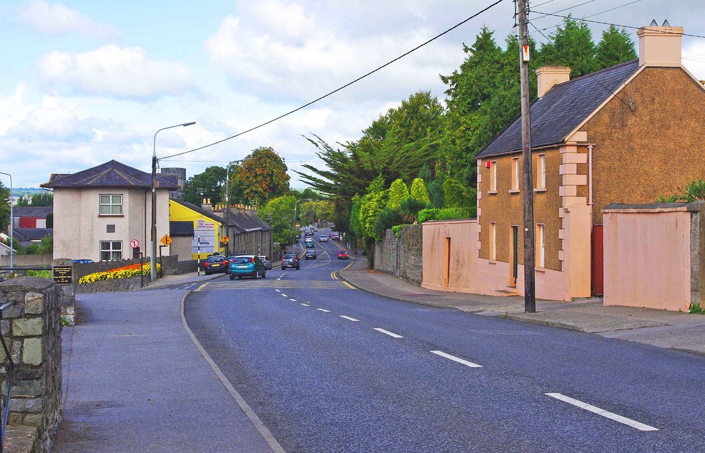
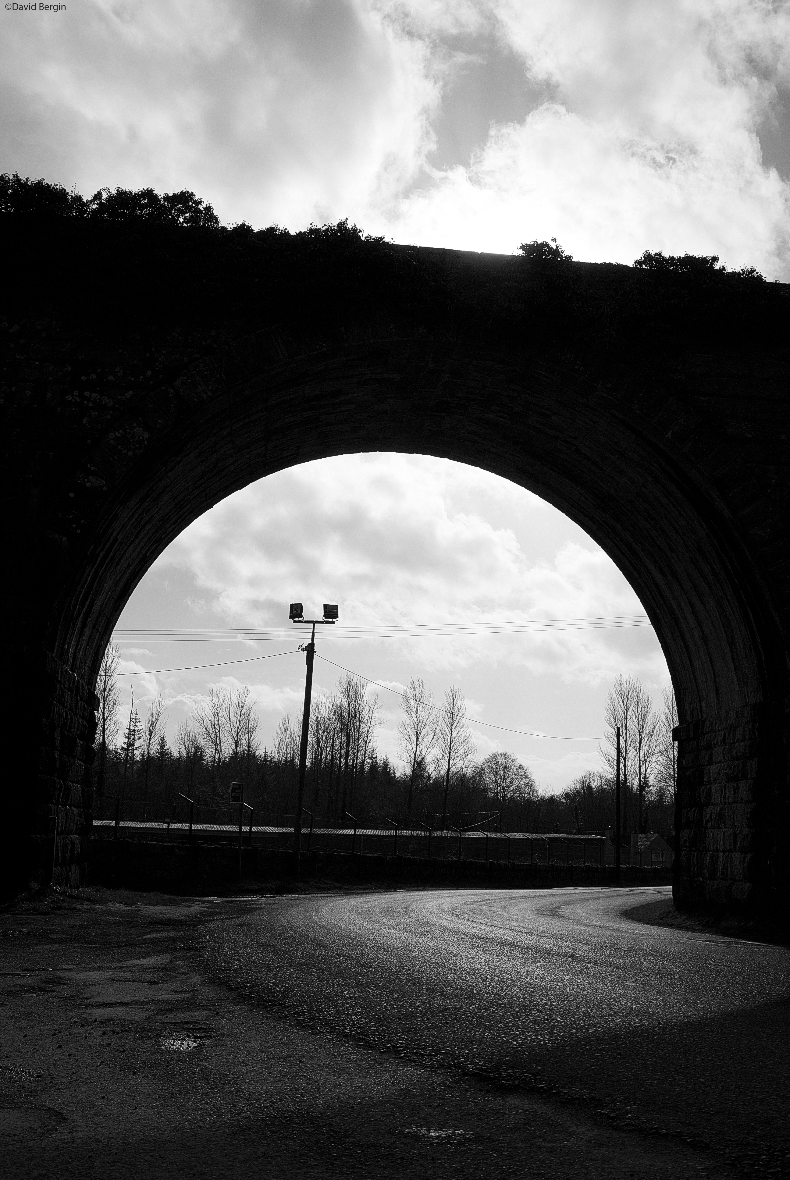
Route surroundings · Dublin Road, Kilkenny - geograph.org.uk - 2587865.jpg
Routes

Leinster · Ireland

East Kilkenny Cycle Route

Complete registered cycling itinerary in County Kilkenny. The official source retains all mapped sections; reliable elevations are unavailable. The orientative completion time comes from Sport Ireland. Photographs show identified Kilkenny surroundings and do not imply viewpoints on the track. Sport Ireland · National Trails Register · CC BY 4.0 · https://creativecommons.org/licenses/by/4.0/. Distance: 62.481 km.

Distance: 62.48 km
Cycling · 4 h · Cycling roadPublished by YouVisible SportDownload YouVisible
View route
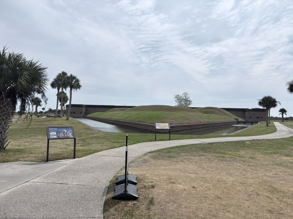
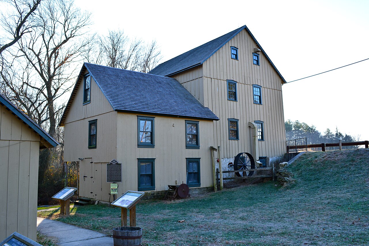
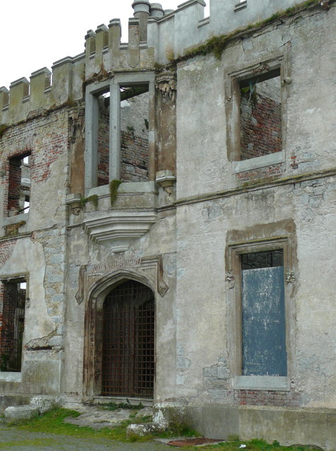
Route surroundings · Demilune of Fort Pulaski.jpg
Routes

Georgia · United States

Fort Pulaski National Monument · Walking circuit

Complete published reference itinerary: Fort Pulaski National Monument · Walking circuit. The complete native provider GPX is retained. The gallery shows identified local surroundings and does not position photographs on the track. Distance: 3.022 km.

Distance: 3.02 km
Elevation gain: ↑ 35 m
Hiking and mountaineering · 45 min · HikingPublished by YouVisible SportDownload YouVisible
View route
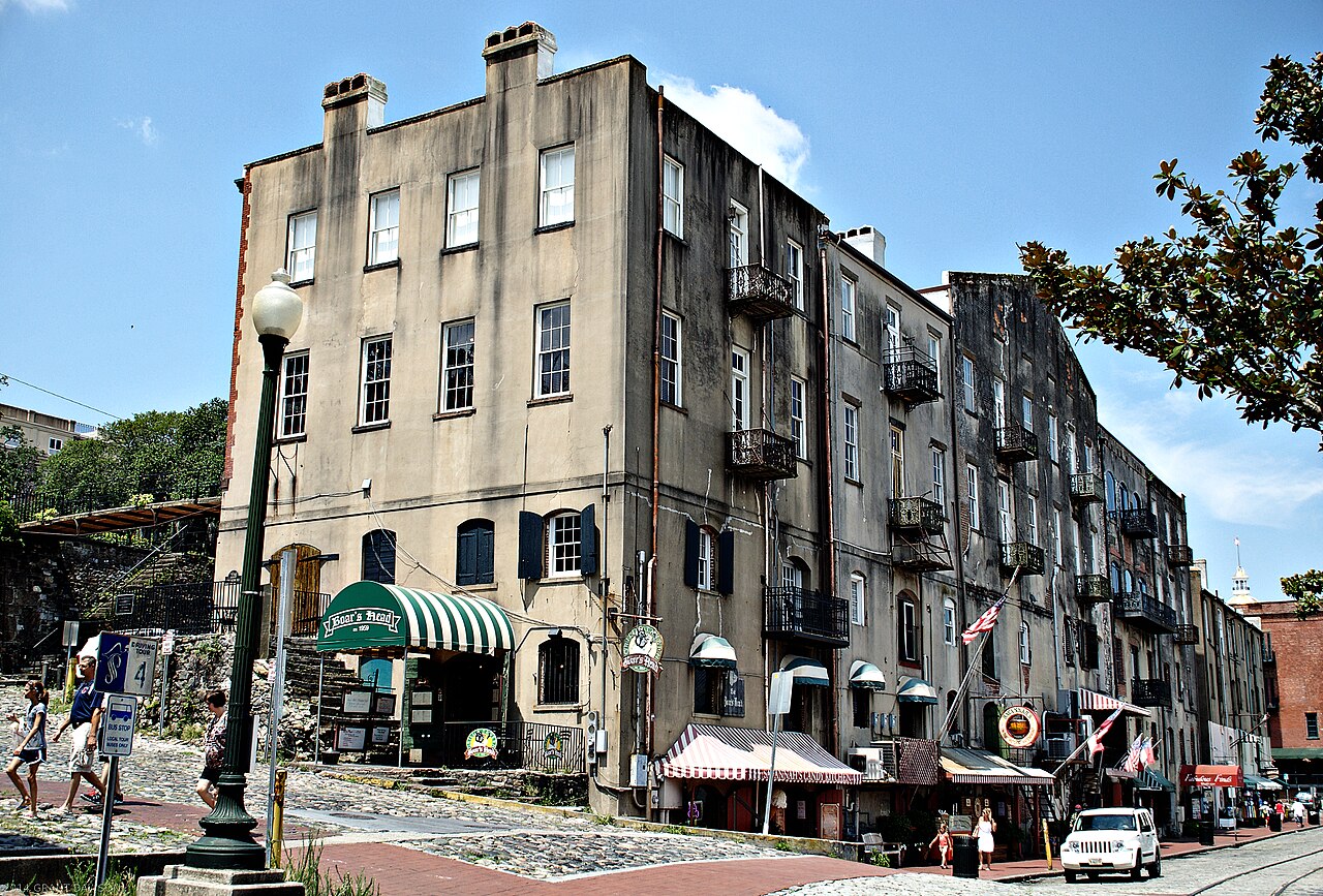
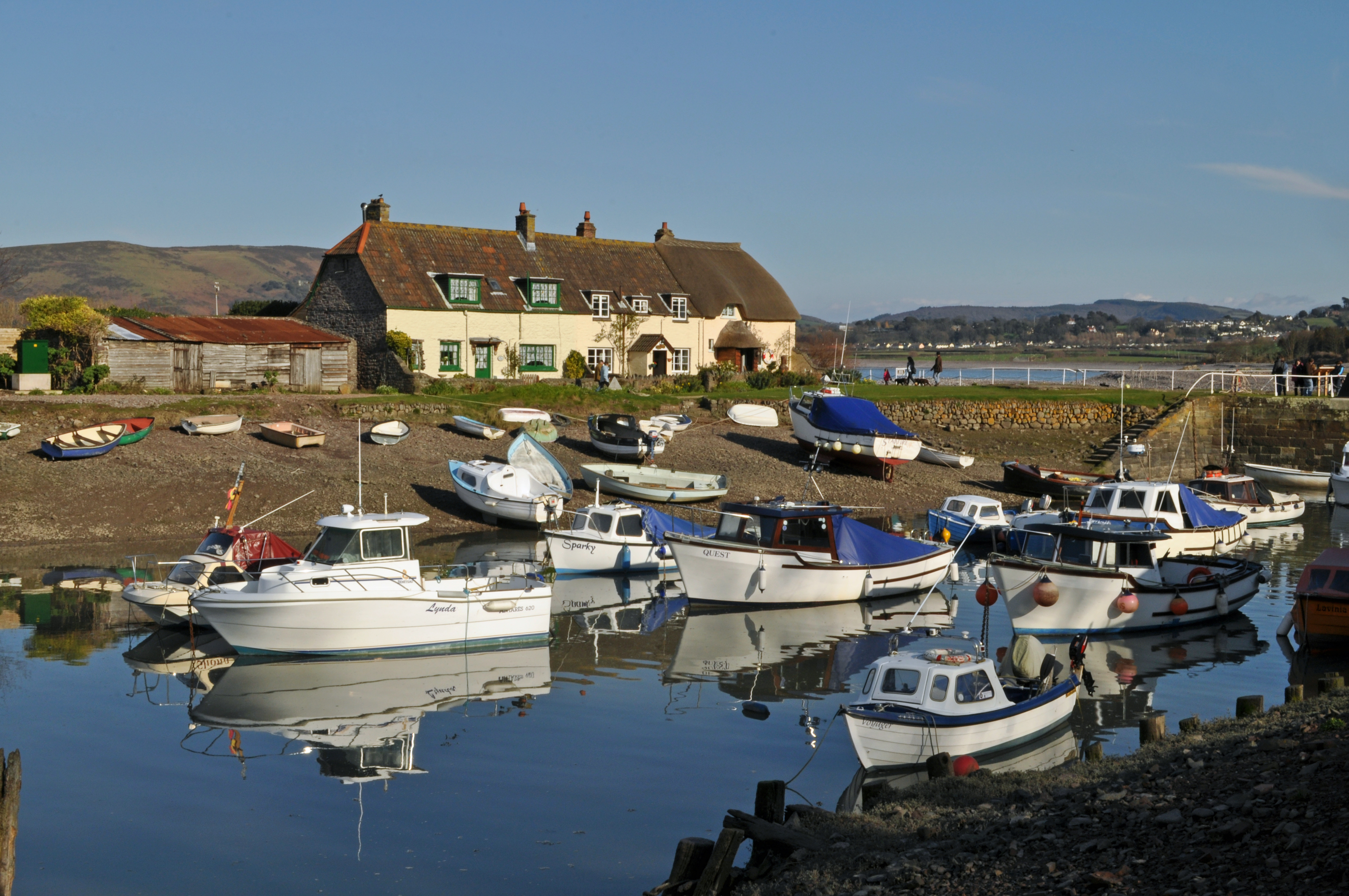
Route surroundings · River St. - Riverwalk - Savannah, GA USA June 2014 - 03.jpg
Routes

Georgia · United States

Savannah · Short walking route

Complete published reference itinerary: Savannah · Short walking route. The complete native provider GPX is retained. The gallery shows identified local surroundings and does not position photographs on the track. Distance: 4.992 km.

Distance: 4.99 km
Elevation gain: ↑ 93 m
Hiking and mountaineering · 1 h 15 min · HikingPublished by YouVisible SportDownload YouVisible
View route

No routes match these filters.

Page 1 of 42

  • Previous
  • 1
  • …

DOWNLOAD THE APP AND RECORD YOUR SPORTS ACTIVITY

Your next outing counts on YouVisible too

YouVisible is a community for people who enjoy sport. Discover the platform, download the app and record your sports activity.

Discover YouVisible
Available on Google PlayDownload YouVisible on the App Store
YouVisible

Live your sport. Make it visible.

Bring your activities, photos and videos together, keep your moments and share only what you choose. Start free.

Spain
Contact: info@youvisible.com
  • Facebook
  • Instagram
  • LinkedIn
  • YouTube
  • TikTok
  • WhatsApp
Report content
Explore
  • Professional
  • Today on YouVisible
  • Contact
  • Commercial terms
YouVisible
  • Home
  • How it fits your sport
  • Pricing
Community
  • Community rules
  • Moderation transparency
  • Report content
  • Contact
  • Ask YouVisible
Legal
  • Legal notice
  • Terms & conditions
  • Privacy policy
  • Cookie policy
  • GDPR requests

Android available

Download it now on Google Play.

Available on Google Play

iPhone available

Download it on the App Store.

Download YouVisible on the App Store

© 2026 YouVisible. All rights reserved.

Privacy and cookies

You decide on non-essential cookies

We use necessary cookies to run the site. Analytics only load if you allow them. You can change your choice at any time. Privacy and cookies.

Necessary

Always active for security and core operation.