Find your next route
Explore hiking, running, trail running and cycling routes that suit your plans.

Community route
Queen Elizabeth Country Park · Red MTB trail
Ride the complete mapped red mountain bike trail in Queen Elizabeth Country Park, Hampshire. The original continuous source track is preserved. The gallery shows named park tracks, woodland and visitor surroundings without assigning unverified camera positions. Canonical track distance: 8.059 km.
By YouVisible Sport
Mapa del recorrido
Activity measurements
- distance meters
- 8,058.8142693235
- end · latitude
- 50.973765
- end · longitude
- -0.9666894
- start · latitude
- 50.973765
- start · longitude
- -0.9666894
- Sport
- Cycling
- Specialty
- cycling mtb
From start to finish
- Country
- United Kingdom
- Province / region
- —
- Localities
- —
Before you go
- How to reach the start
- —
- Parking and access
- —
- Advice
- YouVisible Guide only. Garmin export is unavailable: the original source contains no elevations; the real Garmin validator reports ELEVATION_INSUFFICIENT. The park operator identifies the red route for experienced mountain bikers. Follow the signed direction and designated bike trails, check closures and match your riding to your skills. The source distance can differ from the operator’s rounded trail length. All gallery photographs are labelled “Route surroundings”; camera positions on the track are not asserted. No measured completion time is supplied.
- Recommended equipment
- —
- Terrain
- —
- Signage
- —
Characteristics and difficulty
- Estimated duration
- —
- Author perceived effort
- —
- Physical difficulty
- —
- Technical difficulty
- —
About the route
Ride the complete mapped red mountain bike trail in Queen Elizabeth Country Park, Hampshire. The original continuous source track is preserved. The gallery shows named park tracks, woodland and visitor surroundings without assigning unverified camera positions. Canonical track distance: 8.059 km.
- Context
- —
- Specialty
- cycling mtb
- Event type
- —
- Description
- Six real photographs with individual authorship and licences.
- Title
- Route surroundings
- Title
- Sesión
- Description
- Ride the complete mapped red mountain bike trail in Queen Elizabeth Country Park, Hampshire. The original continuous source track is preserved. The gallery shows named park tracks, woodland and visitor surroundings without assigning unverified camera positions. Canonical track distance: 8.059 km.
- Description
- Route surroundings · A pleasant path through Queen Elizabeth Country Park - geograph.org.uk - 1919045.jpg. Photograph of the named place or its accredited surroundings; no camera position on the track is asserted.
- Title
- Route surroundings · A pleasant path through Queen Elizabeth Country Park - geograph.org.uk - 1919045.jpg
- Description
- Route surroundings · Divergence of tracks in Queen Elizabeth Country Park - geograph.org.uk - 2274807.jpg. Photograph of the named place or its accredited surroundings; no camera position on the track is asserted.
- Title
- Route surroundings · Divergence of tracks in Queen Elizabeth Country Park - geograph.org.uk - 2274807.jpg
- Description
- Route surroundings · Forest track in Queen Elizabeth Country Park - geograph.org.uk - 3941249.jpg. Photograph of the named place or its accredited surroundings; no camera position on the track is asserted.
- Title
- Route surroundings · Forest track in Queen Elizabeth Country Park - geograph.org.uk - 3941249.jpg
- Description
- Route surroundings · Picnic Area in Queen Elizabeth Country Park - geograph.org.uk - 1891182.jpg. Photograph of the named place or its accredited surroundings; no camera position on the track is asserted.
- Title
- Route surroundings · Picnic Area in Queen Elizabeth Country Park - geograph.org.uk - 1891182.jpg
- Description
- Route surroundings · Riding Route in Queen Elizabeth Country Park - geograph.org.uk - 2232042.jpg. Photograph of the named place or its accredited surroundings; no camera position on the track is asserted.
- Title
- Route surroundings · Riding Route in Queen Elizabeth Country Park - geograph.org.uk - 2232042.jpg
- Description
- Route surroundings · South Downs Way in Queen Elizabeth Country Park - geograph.org.uk - 3941804.jpg. Photograph of the named place or its accredited surroundings; no camera position on the track is asserted.
- Title
- Route surroundings · South Downs Way in Queen Elizabeth Country Park - geograph.org.uk - 3941804.jpg
- Description
- Route surroundings · A pleasant path through Queen Elizabeth Country Park - geograph.org.uk - 1919045.jpg. Photograph of the named place or its accredited surroundings; no camera position on the track is asserted.
- Title
- Route surroundings · A pleasant path through Queen Elizabeth Country Park - geograph.org.uk - 1919045.jpg
- Description
- Route surroundings · Divergence of tracks in Queen Elizabeth Country Park - geograph.org.uk - 2274807.jpg. Photograph of the named place or its accredited surroundings; no camera position on the track is asserted.
- Title
- Route surroundings · Divergence of tracks in Queen Elizabeth Country Park - geograph.org.uk - 2274807.jpg
- Description
- Route surroundings · Forest track in Queen Elizabeth Country Park - geograph.org.uk - 3941249.jpg. Photograph of the named place or its accredited surroundings; no camera position on the track is asserted.
- Title
- Route surroundings · Forest track in Queen Elizabeth Country Park - geograph.org.uk - 3941249.jpg
- Description
- Route surroundings · Picnic Area in Queen Elizabeth Country Park - geograph.org.uk - 1891182.jpg. Photograph of the named place or its accredited surroundings; no camera position on the track is asserted.
- Title
- Route surroundings · Picnic Area in Queen Elizabeth Country Park - geograph.org.uk - 1891182.jpg
- Description
- Route surroundings · Riding Route in Queen Elizabeth Country Park - geograph.org.uk - 2232042.jpg. Photograph of the named place or its accredited surroundings; no camera position on the track is asserted.
- Title
- Route surroundings · Riding Route in Queen Elizabeth Country Park - geograph.org.uk - 2232042.jpg
- Description
- Route surroundings · South Downs Way in Queen Elizabeth Country Park - geograph.org.uk - 3941804.jpg. Photograph of the named place or its accredited surroundings; no camera position on the track is asserted.
- Title
- Route surroundings · South Downs Way in Queen Elizabeth Country Park - geograph.org.uk - 3941804.jpg
- Advice
- YouVisible Guide only. Garmin export is unavailable: the original source contains no elevations; the real Garmin validator reports ELEVATION_INSUFFICIENT. The park operator identifies the red route for experienced mountain bikers. Follow the signed direction and designated bike trails, check closures and match your riding to your skills. The source distance can differ from the operator’s rounded trail length. All gallery photographs are labelled “Route surroundings”; camera positions on the track are not asserted. No measured completion time is supplied.
- Title
- Queen Elizabeth Country Park · Red MTB trail
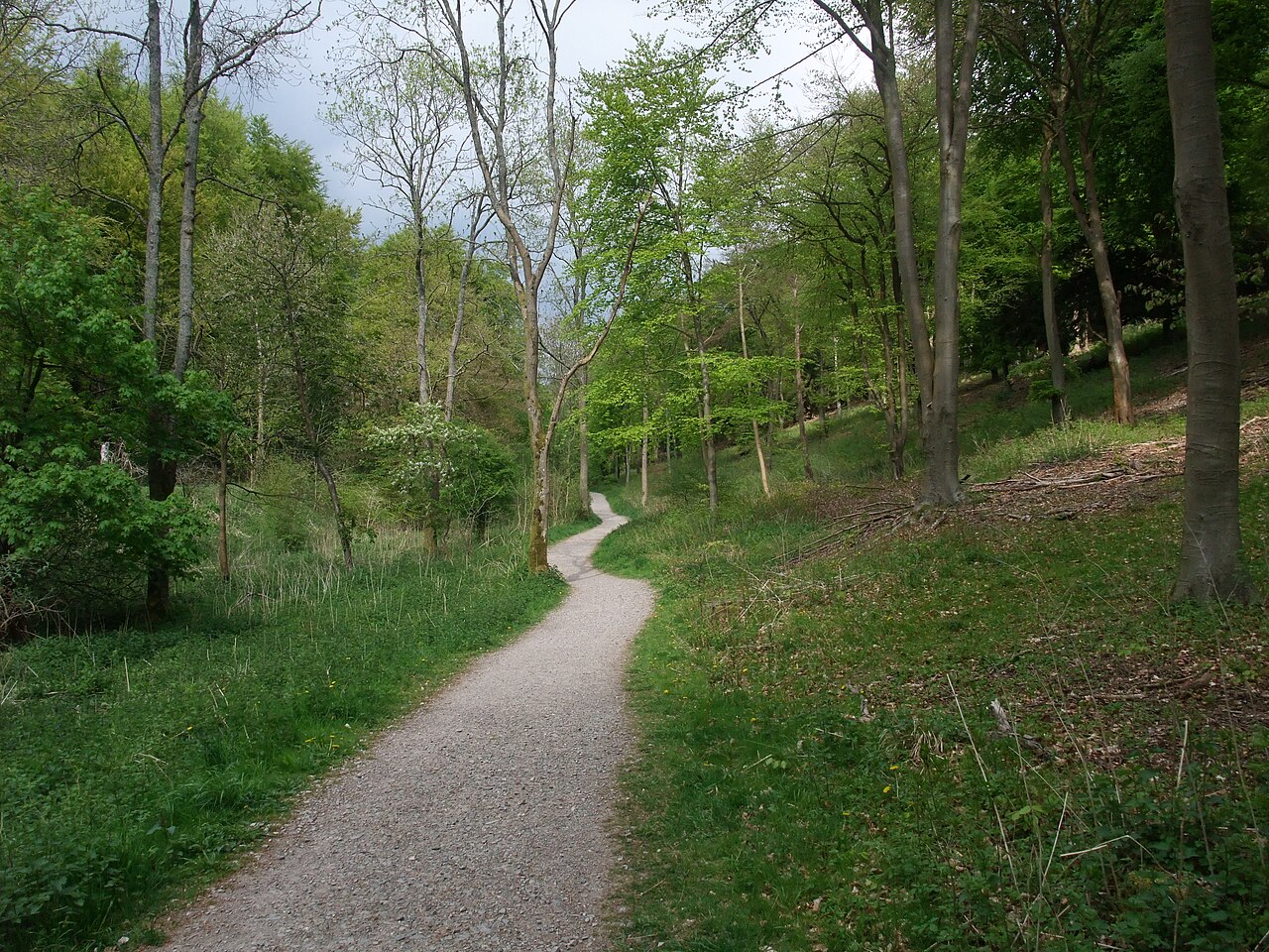
Route surroundings · A pleasant path through Queen Elizabeth Country Park - geograph.org.uk - 1919045.jpg — Tim Heaton — CC BY-SA 2.0 (https://creativecommons.org/licenses/by-sa/2.0) — https://commons.wikimedia.org/wiki/File:A_pleasant_path_through_Queen_Elizabeth_Country_Park_-_geograph.org.uk_-_1919045.jpg

Tim Heaton
CC BY-SA 2.0
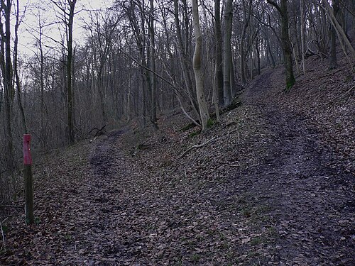
Route surroundings · Divergence of tracks in Queen Elizabeth Country Park - geograph.org.uk - 2274807.jpg — Shazz — CC BY-SA 2.0 (https://creativecommons.org/licenses/by-sa/2.0) — https://commons.wikimedia.org/wiki/File:Divergence_of_tracks_in_Queen_Elizabeth_Country_Park_-_geograph.org.uk_-_2274807.jpg

Shazz
CC BY-SA 2.0
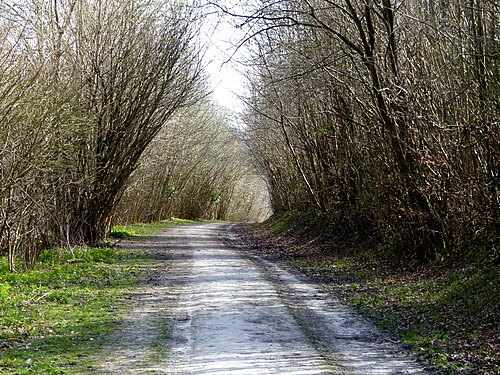
Route surroundings · Forest track in Queen Elizabeth Country Park - geograph.org.uk - 3941249.jpg — Chris Gunns — CC BY-SA 2.0 (https://creativecommons.org/licenses/by-sa/2.0) — https://commons.wikimedia.org/wiki/File:Forest_track_in_Queen_Elizabeth_Country_Park_-_geograph.org.uk_-_3941249.jpg

Chris Gunns
CC BY-SA 2.0
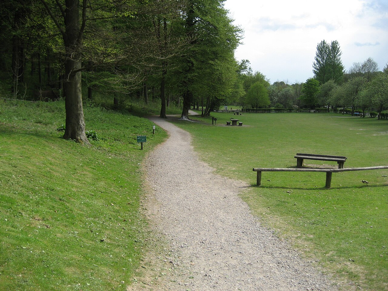
Route surroundings · Picnic Area in Queen Elizabeth Country Park - geograph.org.uk - 1891182.jpg — Chris Heaton — CC BY-SA 2.0 (https://creativecommons.org/licenses/by-sa/2.0) — https://commons.wikimedia.org/wiki/File:Picnic_Area_in_Queen_Elizabeth_Country_Park_-_geograph.org.uk_-_1891182.jpg

Chris Heaton
CC BY-SA 2.0
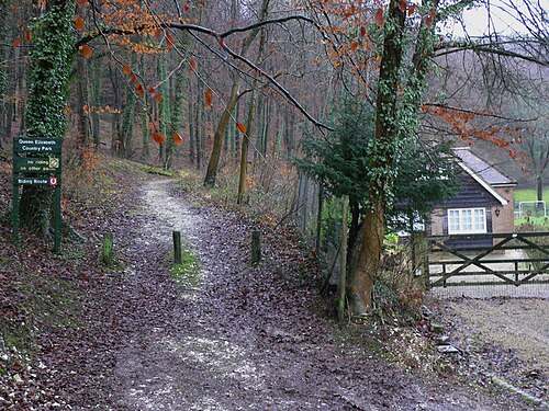
Route surroundings · Riding Route in Queen Elizabeth Country Park - geograph.org.uk - 2232042.jpg — Shazz — CC BY-SA 2.0 (https://creativecommons.org/licenses/by-sa/2.0) — https://commons.wikimedia.org/wiki/File:Riding_Route_in_Queen_Elizabeth_Country_Park_-_geograph.org.uk_-_2232042.jpg

Shazz
CC BY-SA 2.0
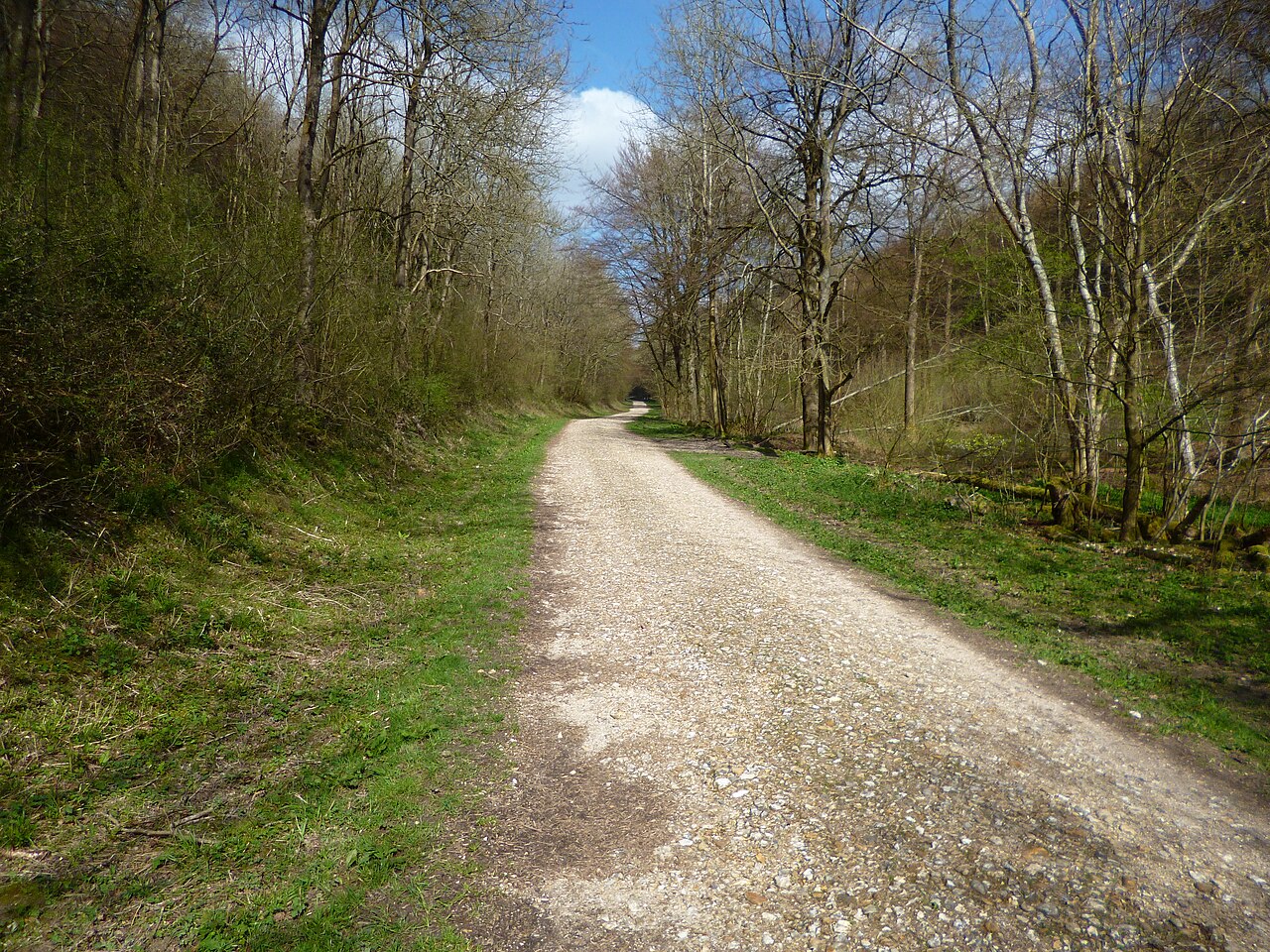
Route surroundings · South Downs Way in Queen Elizabeth Country Park - geograph.org.uk - 3941804.jpg — Dave Kelly — CC BY-SA 2.0 (https://creativecommons.org/licenses/by-sa/2.0) — https://commons.wikimedia.org/wiki/File:South_Downs_Way_in_Queen_Elizabeth_Country_Park_-_geograph.org.uk_-_3941804.jpg

Dave Kelly
CC BY-SA 2.0
View original activity in YouVisible
Weather on your route
Loading forecast…
Sources and credits
© OpenStreetMap contributors · ODbL 1.0 · https://mtb.waymarkedtrails.org/#route?id=1224572
OpenStreetMap contributors · Waymarked Trails · ODbL 1.0
Route photograph
Route surroundings · A pleasant path through Queen Elizabeth Country Park - geograph.org.uk - 1919045.jpg — Tim Heaton — CC BY-SA 2.0 (https://creativecommons.org/licenses/by-sa/2.0) — https://commons.wikimedia.org/wiki/File:A_pleasant_path_through_Queen_Elizabeth_Country_Park_-_geograph.org.uk_-_1919045.jpg
Tim Heaton · CC BY-SA 2.0 · Media source
Route photograph
Route surroundings · Divergence of tracks in Queen Elizabeth Country Park - geograph.org.uk - 2274807.jpg — Shazz — CC BY-SA 2.0 (https://creativecommons.org/licenses/by-sa/2.0) — https://commons.wikimedia.org/wiki/File:Divergence_of_tracks_in_Queen_Elizabeth_Country_Park_-_geograph.org.uk_-_2274807.jpg
Shazz · CC BY-SA 2.0 · Media source
Route photograph
Route surroundings · Forest track in Queen Elizabeth Country Park - geograph.org.uk - 3941249.jpg — Chris Gunns — CC BY-SA 2.0 (https://creativecommons.org/licenses/by-sa/2.0) — https://commons.wikimedia.org/wiki/File:Forest_track_in_Queen_Elizabeth_Country_Park_-_geograph.org.uk_-_3941249.jpg
Chris Gunns · CC BY-SA 2.0 · Media source
Route photograph
Route surroundings · Picnic Area in Queen Elizabeth Country Park - geograph.org.uk - 1891182.jpg — Chris Heaton — CC BY-SA 2.0 (https://creativecommons.org/licenses/by-sa/2.0) — https://commons.wikimedia.org/wiki/File:Picnic_Area_in_Queen_Elizabeth_Country_Park_-_geograph.org.uk_-_1891182.jpg
Chris Heaton · CC BY-SA 2.0 · Media source
Route photograph
Route surroundings · Riding Route in Queen Elizabeth Country Park - geograph.org.uk - 2232042.jpg — Shazz — CC BY-SA 2.0 (https://creativecommons.org/licenses/by-sa/2.0) — https://commons.wikimedia.org/wiki/File:Riding_Route_in_Queen_Elizabeth_Country_Park_-_geograph.org.uk_-_2232042.jpg
Shazz · CC BY-SA 2.0 · Media source
Route photograph
Route surroundings · South Downs Way in Queen Elizabeth Country Park - geograph.org.uk - 3941804.jpg — Dave Kelly — CC BY-SA 2.0 (https://creativecommons.org/licenses/by-sa/2.0) — https://commons.wikimedia.org/wiki/File:South_Downs_Way_in_Queen_Elizabeth_Country_Park_-_geograph.org.uk_-_3941804.jpg
Dave Kelly · CC BY-SA 2.0 · Media source