Find your next route
Explore hiking, running, trail running and cycling routes that suit your plans.

Community route
Porlock Bay · From Bossington towards Porlock Weir
Follow Natural England’s complete chapter 2 of the Minehead–Combe Martin coastal reference, from the Bossington side of Porlock Bay towards Porlock Weir. Walk east to west along the coastal route. The setting includes the bay, marshland and the small harbour at Porlock Weir; this is a linear walk, with no invented return or shingle-bank crossing. The historical photographs show the harbour and its surroundings at the western end. They do not establish current tidal, boardwalk or access conditions.
By YouVisible Sport
Mapa del recorrido
Activity measurements
- distance meters
- 6,211.4672137874
- end · latitude
- 51.2220725
- end · longitude
- -3.6372723
- start · latitude
- 51.2289819
- start · longitude
- -3.5781315
- Sport
- hiking mountaineering
- Specialty
- Hiking
From start to finish
- Country
- United Kingdom
- Province / region
- —
- Localities
- Porlock
Before you go
- How to reach the start
- —
- Parking and access
- Check Exmoor National Park’s live path-closure notices before setting out. Its notice for Porlock Marsh footpath WL19/2 cites boardwalk repairs and a closure end date of 3 November 2026. That stated period has passed at this check on 5 November, but the notice remains listed; no reopening inspection or unrestricted passage is claimed. Follow current on-site instructions and do not cross a closed boardwalk. Check tides, flooding and any signed diversion; the reference is the faithful official geometry, not a newly drawn diversion. No parking availability is invented.
- Advice
- Keep to permitted paths around the sensitive marsh and obey boardwalk or flood restrictions. Consult live notices before travel and stop if the route is signed closed. Harbour photographs do not grant access to working or private areas. Plan a separate permitted return.
- Recommended equipment
- —
- Terrain
- —
- Signage
- —
Characteristics and difficulty
- Estimated duration
- —
- Author perceived effort
- —
- Physical difficulty
- —
- Technical difficulty
- —
About the route
Follow Natural England’s complete chapter 2 of the Minehead–Combe Martin coastal reference, from the Bossington side of Porlock Bay towards Porlock Weir. Walk east to west along the coastal route. The setting includes the bay, marshland and the small harbour at Porlock Weir; this is a linear walk, with no invented return or shingle-bank crossing. The historical photographs show the harbour and its surroundings at the western end. They do not establish current tidal, boardwalk or access conditions.
- Context
- —
- Specialty
- Hiking
- Event type
- —
- Description
- Six individually licensed historical photographs of the route’s setting. Context images add no access, detour or exact camera position.
- Title
- Route highlights
- Title
- Sesión
- Description
- Follow Natural England’s complete chapter 2 of the Minehead–Combe Martin coastal reference, from the Bossington side of Porlock Bay towards Porlock Weir. Walk east to west along the coastal route. The setting includes the bay, marshland and the small harbour at Porlock Weir; this is a linear walk, with no invented return or shingle-bank crossing. The historical photographs show the harbour and its surroundings at the western end. They do not establish current tidal, boardwalk or access conditions.
- Description
- A historical photograph of Porlock Weir, the western setting of this reference.
- Title
- Porlock Weir and its harbour
- Description
- A distinct historical view identified as Porlock Weir, Somerset.
- Title
- A harbour-side view
- Description
- A second distinct scene of Porlock Weir and its coastal surroundings.
- Title
- Porlock Weir in Somerset
- Description
- A historical photograph individually marked public domain by its publisher and identified as Porlock Weir.
- Title
- The small coastal harbour
- Description
- Coils of old rope at Porlock Weir’s dockside, as described by the photographer. Working-harbour context, without access rights.
- Title
- Rope beside the dock
- Description
- A historical photograph of Porlock Weir, without a promised tide or weather condition.
- Title
- Another view of the weir
- Description
- A historical photograph of Porlock Weir, the western setting of this reference.
- Title
- Porlock Weir and its harbour
- Description
- A distinct historical view identified as Porlock Weir, Somerset.
- Title
- A harbour-side view
- Description
- A second distinct scene of Porlock Weir and its coastal surroundings.
- Title
- Porlock Weir in Somerset
- Description
- A historical photograph individually marked public domain by its publisher and identified as Porlock Weir.
- Title
- The small coastal harbour
- Description
- Coils of old rope at Porlock Weir’s dockside, as described by the photographer. Working-harbour context, without access rights.
- Title
- Rope beside the dock
- Description
- A historical photograph of Porlock Weir, without a promised tide or weather condition.
- Title
- Another view of the weir
- Advice
- Keep to permitted paths around the sensitive marsh and obey boardwalk or flood restrictions. Consult live notices before travel and stop if the route is signed closed. Harbour photographs do not grant access to working or private areas. Plan a separate permitted return.
- Parking and access
- Check Exmoor National Park’s live path-closure notices before setting out. Its notice for Porlock Marsh footpath WL19/2 cites boardwalk repairs and a closure end date of 3 November 2026. That stated period has passed at this check on 5 November, but the notice remains listed; no reopening inspection or unrestricted passage is claimed. Follow current on-site instructions and do not cross a closed boardwalk. Check tides, flooding and any signed diversion; the reference is the faithful official geometry, not a newly drawn diversion. No parking availability is invented.
- Title
- Porlock Bay · From Bossington towards Porlock Weir
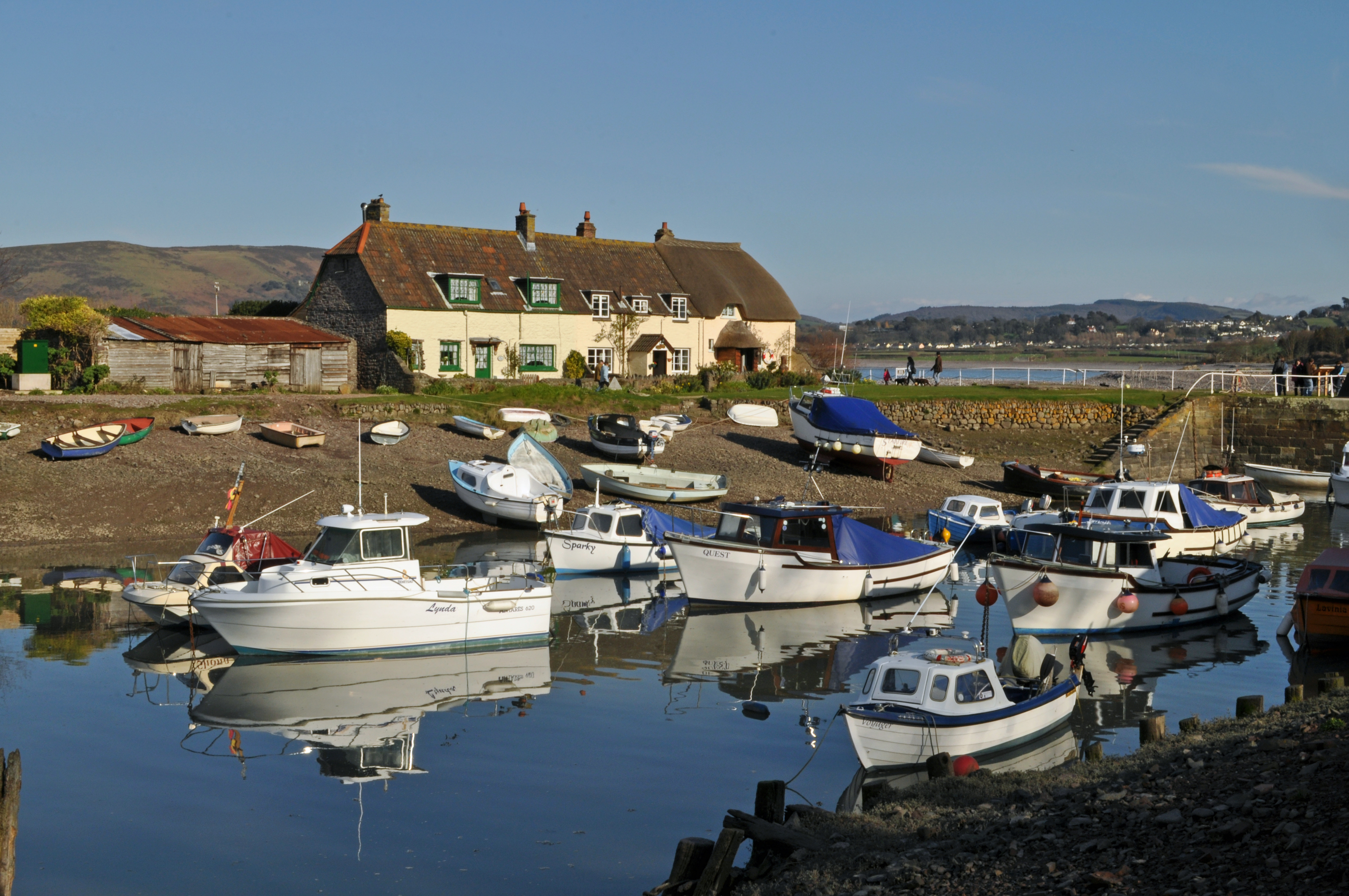
Porlock Weir — Paul — CC BY 2.0 — https://www.flickr.com/photos/11050453@N02/29071087994/
Paul
CC BY 2.0
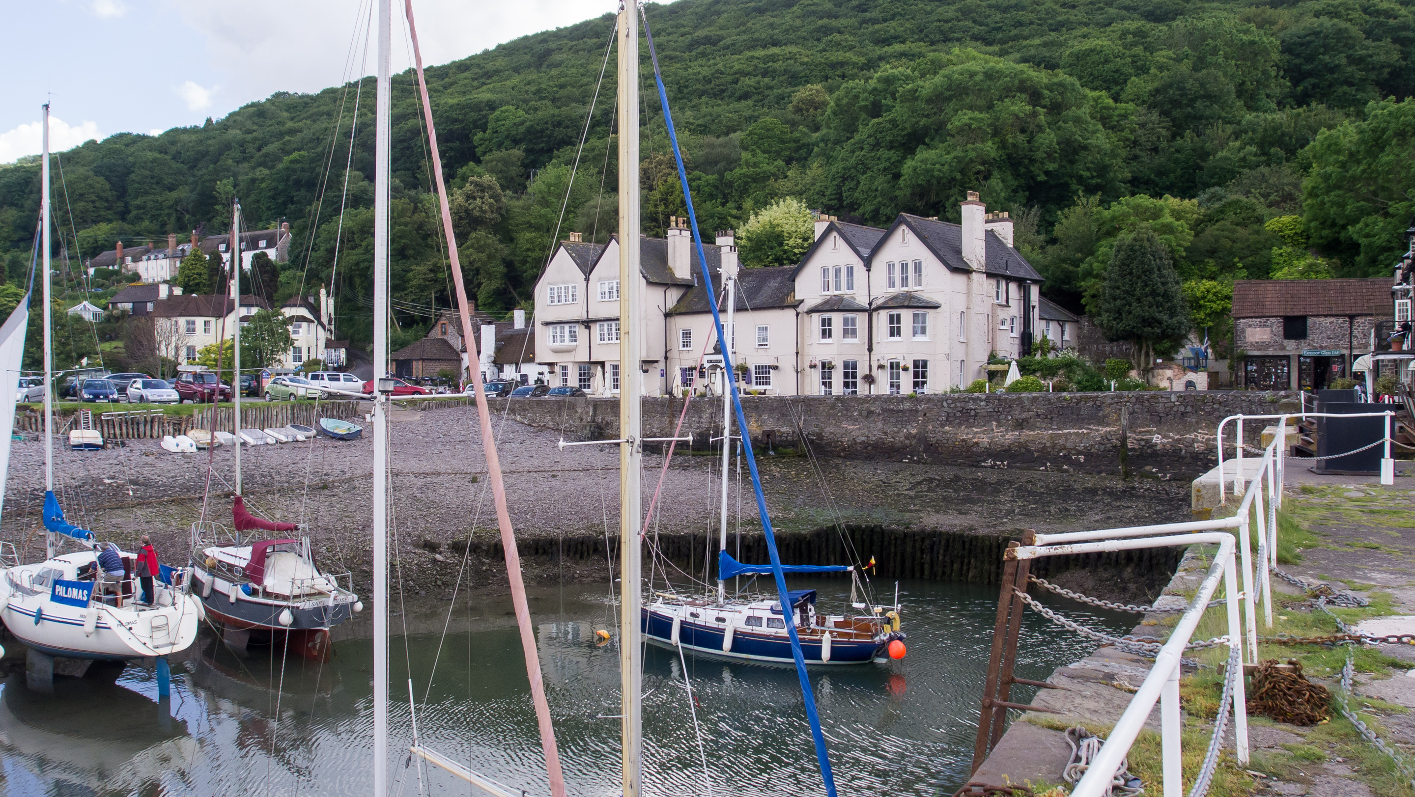
Porlock Weir, Somerset — Ed Webster — CC BY 2.0 — https://www.flickr.com/photos/55898913@N04/17554130809/
Ed Webster
CC BY 2.0
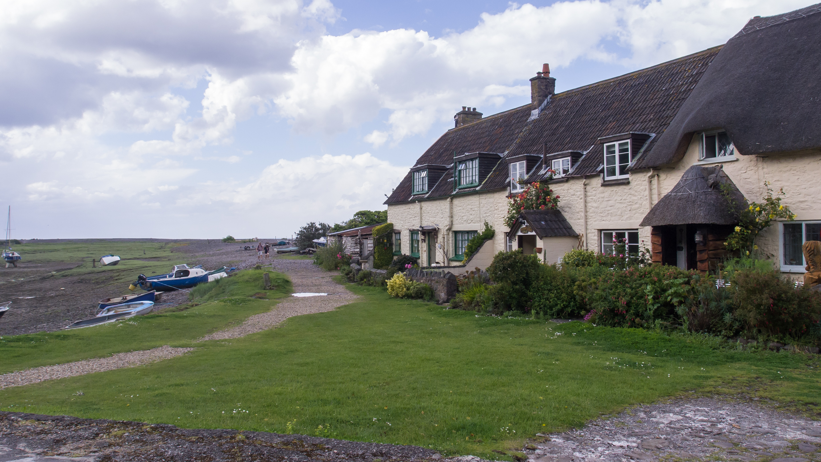
Porlock Weir, Somerset — Ed Webster — CC BY 2.0 — https://www.flickr.com/photos/55898913@N04/17714068846/
Ed Webster
CC BY 2.0
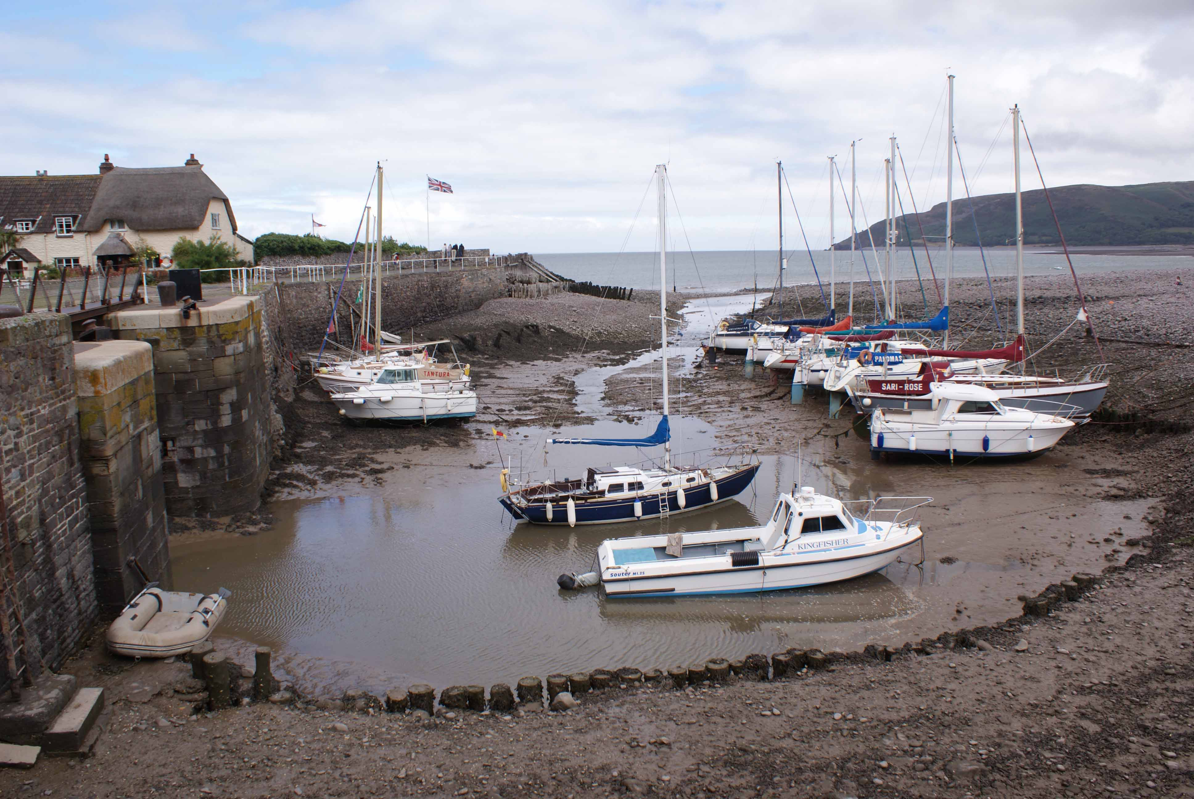
Porlock Weir — Bas Blok — Public domain — https://www.flickr.com/photos/132150431@N08/17102515267/
Bas Blok
Public domain
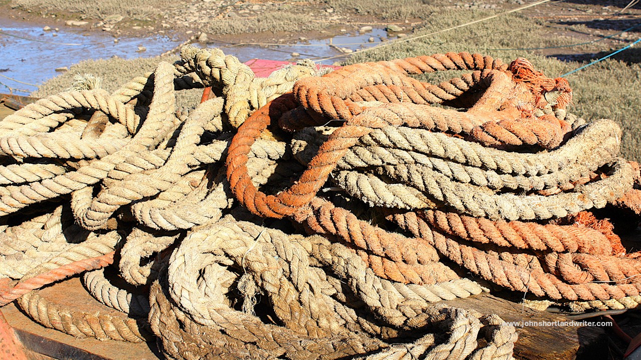
Porlock Weir — john shortland — CC BY 2.0 — https://www.flickr.com/photos/16436271@N02/24003341180/
john shortland
CC BY 2.0
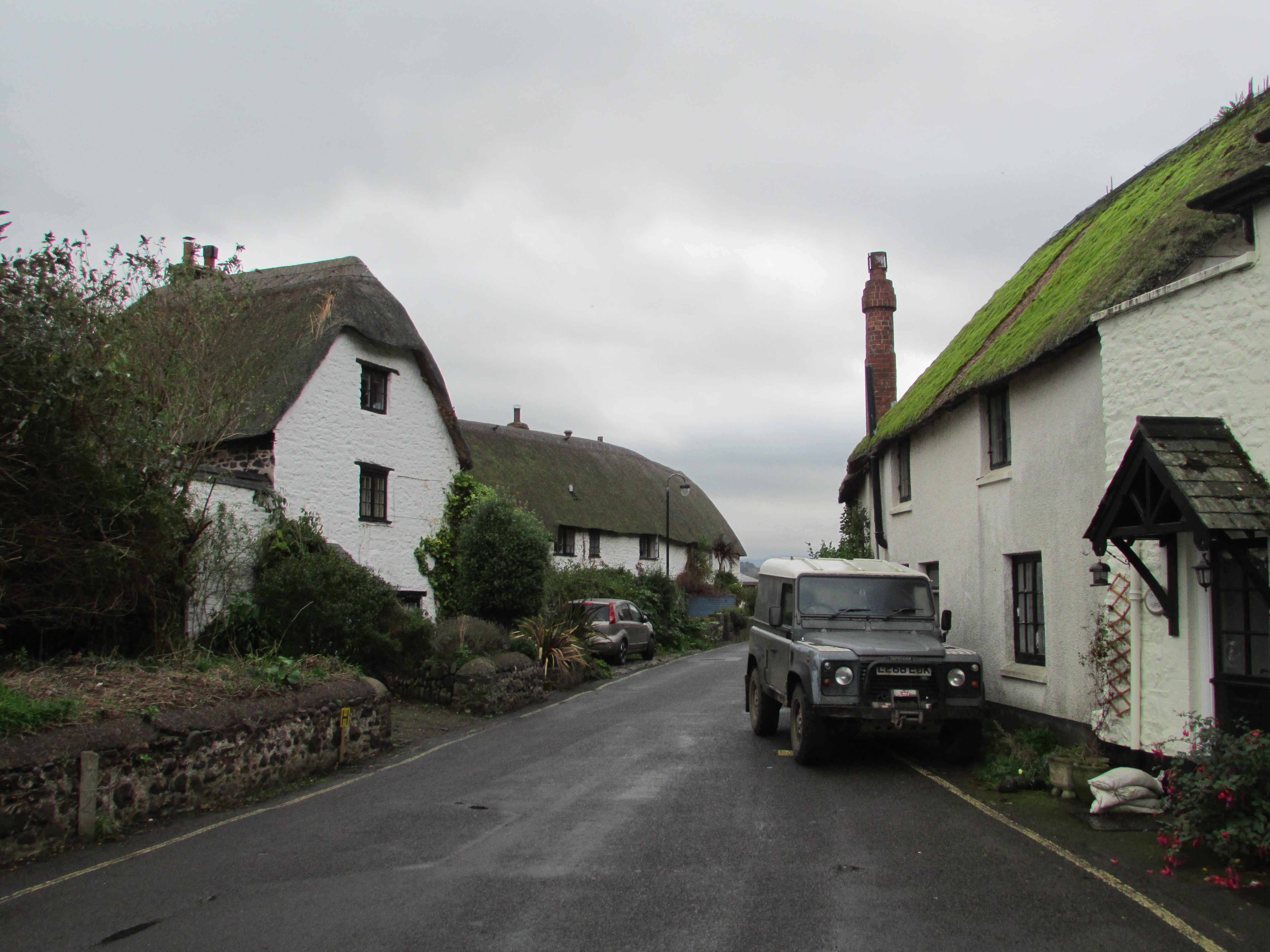
Porlock Weir — Reading Tom — CC BY 2.0 — https://www.flickr.com/photos/16801915@N06/15669750435/
Reading Tom
CC BY 2.0
View original activity in YouVisible
Weather on your route
Loading forecast…
Sources and credits
© Natural England copyright. Contains Ordnance Survey data © Crown copyright and database right 2024. Open Government Licence v3.0. Whole original paths retained in the documented contiguous walking order.
Natural England · England_Coast_Path_Route · OGL 3.0
Porlock Weir and its harbour
Porlock Weir — Paul — CC BY 2.0 — https://www.flickr.com/photos/11050453@N02/29071087994/
Paul · CC BY 2.0 · Media source
A harbour-side view
Porlock Weir, Somerset — Ed Webster — CC BY 2.0 — https://www.flickr.com/photos/55898913@N04/17554130809/
Ed Webster · CC BY 2.0 · Media source
Porlock Weir in Somerset
Porlock Weir, Somerset — Ed Webster — CC BY 2.0 — https://www.flickr.com/photos/55898913@N04/17714068846/
Ed Webster · CC BY 2.0 · Media source
The small coastal harbour
Porlock Weir — Bas Blok — Public domain — https://www.flickr.com/photos/132150431@N08/17102515267/
Bas Blok · Public domain · Media source
Rope beside the dock
Porlock Weir — john shortland — CC BY 2.0 — https://www.flickr.com/photos/16436271@N02/24003341180/
john shortland · CC BY 2.0 · Media source
Another view of the weir
Porlock Weir — Reading Tom — CC BY 2.0 — https://www.flickr.com/photos/16801915@N06/15669750435/
Reading Tom · CC BY 2.0 · Media source