Find your next route
Explore hiking, running, trail running and cycling routes that suit your plans.

Community route
Señorío de Illescas-Moraleja de Enmedio-Cedillo del Condado-Ugena-Cubas de la Sagra-Señorío de Illescas
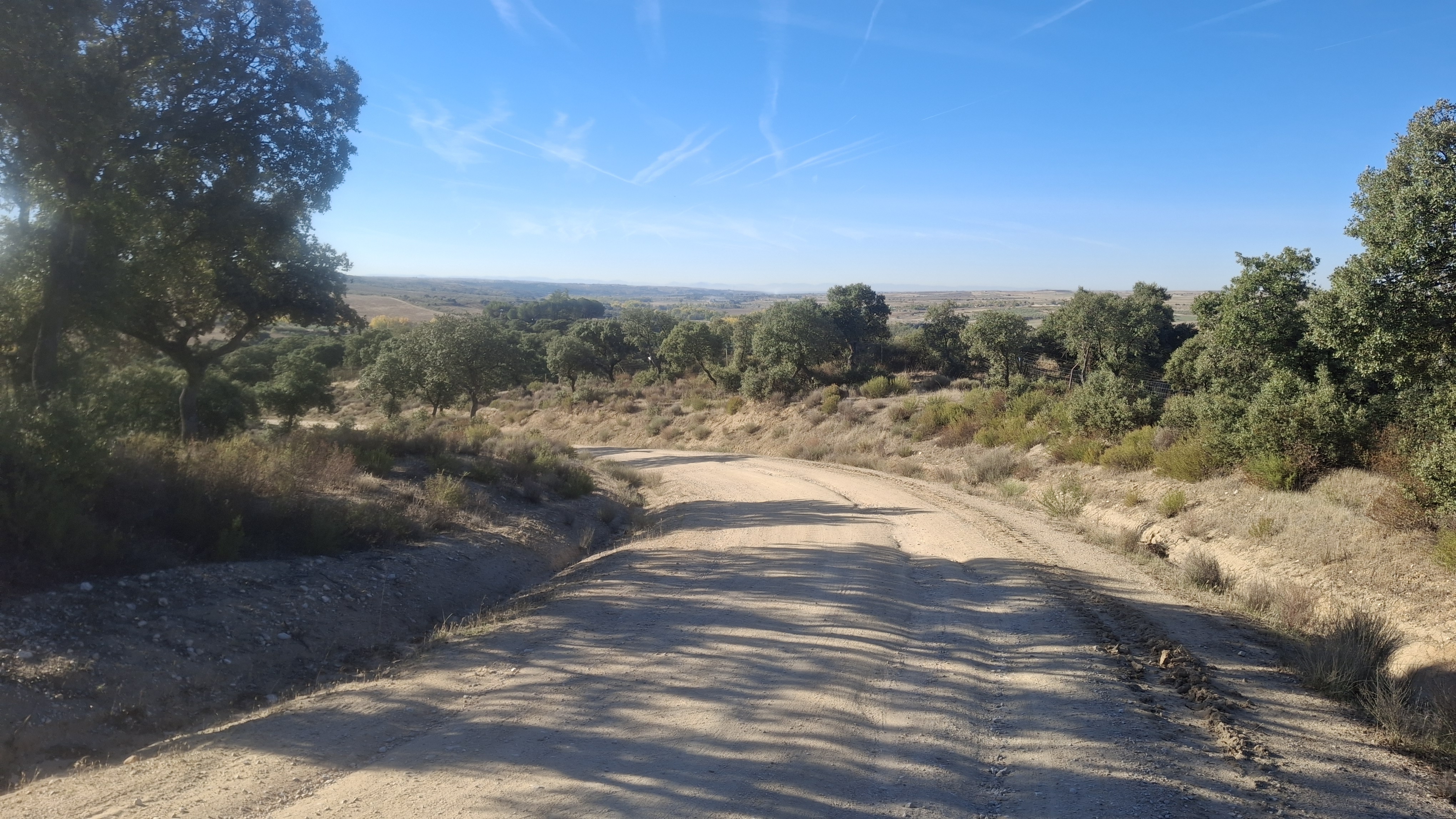
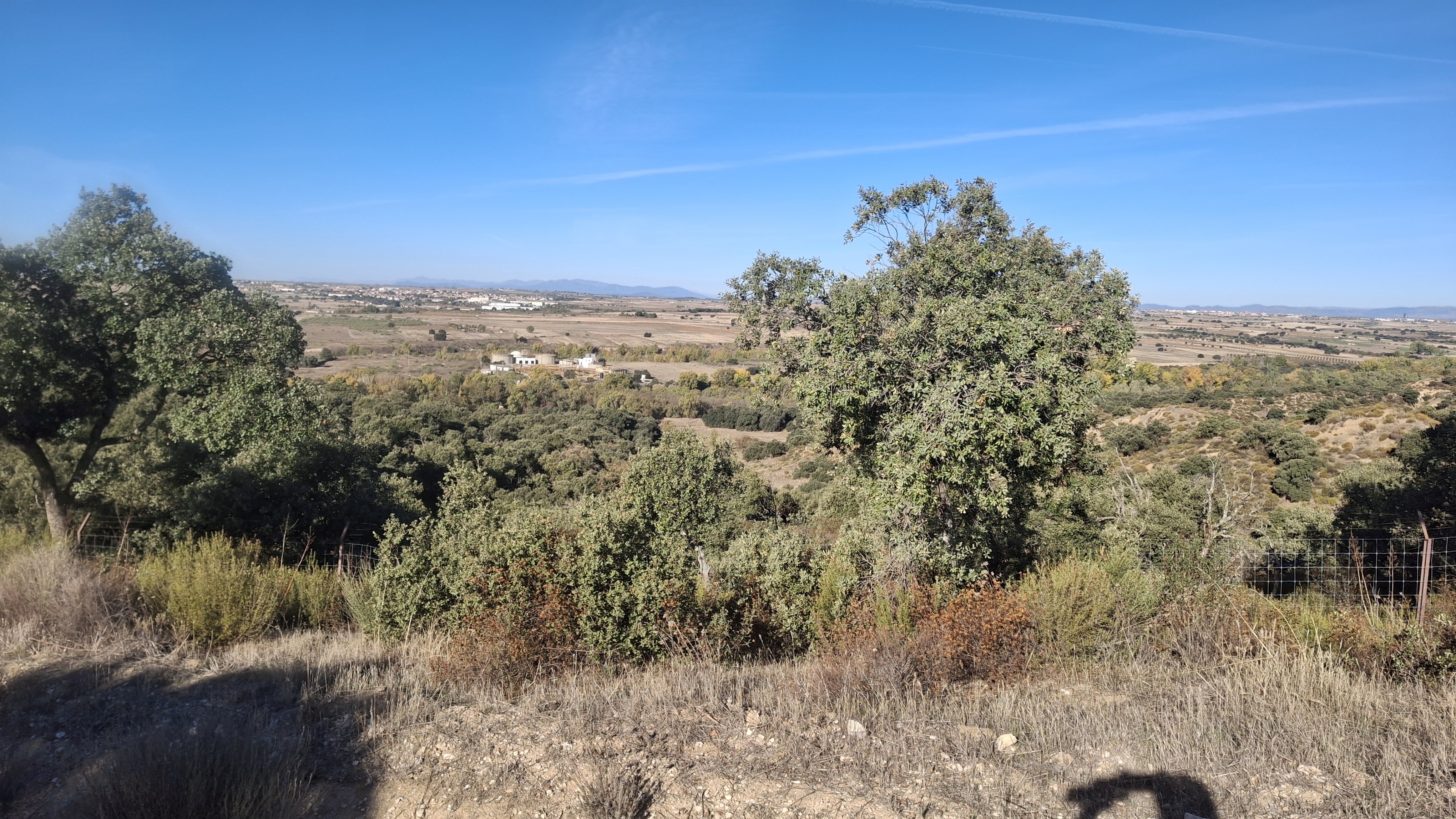
Ruta de mtb por pistas amplias. Buen terreno para rodar
By Alberto Gómez Herguedas
Mapa del recorrido
Perfil de elevación
Velocidad del recorrido
Ritmo del recorrido
Activity measurements
- average pace seconds per km
- 187.9041877538
- average speed mps
- 5.3218611674
- distance meters
- 62,861.8241094143
- elevation gain meters
- 538.0999755859
- elevation loss meters
- 595.8999023438
- max elevation meters
- 745
- min elevation meters
- 576
- moving time seconds
- 11,812
- total duration seconds
- 11,927
- effort rating
- 4
- Sport
- Cycling
- Specialty
- cycling mtb
LocationIllescas · Toledo · Castilla-La Mancha · España
SportCycling
Distance62.86 km
Route type—
From start to finish
- Country
- Spain
- Province / region
- Madrid · Toledo
- Localities
- Illescas
Before you go
- How to reach the start
- —
- Parking and access
- —
- Advice
- —
- Recommended equipment
- —
- Terrain
- DIRT_TRACK
- Signage
- —
Characteristics and difficulty
- Estimated duration
- —
- Author perceived effort
- 4/10
- Physical difficulty
- LOW
- Technical difficulty
- LOW
About the route
Ruta de mtb por pistas amplias. Buen terreno para rodar
- Context
- Training
- Specialty
- cycling mtb
- Event type
- —
- Title
- Sesión
- Description
- Ruta de mtb por pistas amplias. Buen terreno para rodar
- Title
- 20261102_100805.jpg
- Title
- 20261102_100805.jpg
- Terrain
- DIRT_TRACK
- Title
- Señorío de Illescas-Moraleja de Enmedio-Cedillo del Condado-Ugena-Cubas de la Sagra-Señorío de Illescas
View original activity in YouVisible
Weather on your route
Loading forecast…