Find your next route
Explore hiking, running, trail running and cycling routes that suit your plans.

Community route
East End · Walk via Stonesfield to Combe
Follow the complete source itinerary from East End through the Stonesfield area towards Combe. The gallery shows North Leigh Roman Villa and its accredited landscape near the itinerary, without claiming that every camera position lies on the track. Canonical track distance: 5.977 km.
By YouVisible Sport
Mapa del recorrido
Perfil de elevación
Activity measurements
- distance meters
- 5,977.3435078356
- elevation gain meters
- 86.1
- elevation loss meters
- 74.2
- max elevation meters
- 125.4
- min elevation meters
- 76.1
- end · latitude
- 51.844308
- end · longitude
- -1.403488
- start · latitude
- 51.831705
- start · longitude
- -1.427314
- Sport
- hiking mountaineering
- Specialty
- Hiking
From start to finish
- Country
- United Kingdom
- Province / region
- —
- Localities
- —
Before you go
- How to reach the start
- —
- Parking and access
- —
- Advice
- Guide + verified export. This is a linear walk: arrange your return. Stay on public rights of way, respect local signs and avoid entering closed archaeological areas. Some paths are not classified in the map evidence; source elevations are not measurements by YouVisible. All gallery photographs are labelled “Route surroundings”; camera positions on the track are not asserted. No measured completion time is supplied.
- Recommended equipment
- —
- Terrain
- —
- Signage
- —
Characteristics and difficulty
- Estimated duration
- —
- Author perceived effort
- —
- Physical difficulty
- —
- Technical difficulty
- —
About the route
Follow the complete source itinerary from East End through the Stonesfield area towards Combe. The gallery shows North Leigh Roman Villa and its accredited landscape near the itinerary, without claiming that every camera position lies on the track. Canonical track distance: 5.977 km.
- Context
- —
- Specialty
- Hiking
- Event type
- —
- Description
- Six real photographs with individual authorship and licences.
- Title
- Route surroundings
- Title
- Sesión
- Description
- Follow the complete source itinerary from East End through the Stonesfield area towards Combe. The gallery shows North Leigh Roman Villa and its accredited landscape near the itinerary, without claiming that every camera position lies on the track. Canonical track distance: 5.977 km.
- Description
- Route surroundings · North Leigh Roman Villa.JPG. Photograph of the named place or its accredited surroundings; no camera position on the track is asserted.
- Title
- Route surroundings · North Leigh Roman Villa.JPG
- Description
- Route surroundings · North Leigh Roman Villa - geograph.org.uk - 11995.jpg. Photograph of the named place or its accredited surroundings; no camera position on the track is asserted.
- Title
- Route surroundings · North Leigh Roman Villa - geograph.org.uk - 11995.jpg
- Description
- Route surroundings · North Leigh Roman Villa - geograph.org.uk - 1408346.jpg. Photograph of the named place or its accredited surroundings; no camera position on the track is asserted.
- Title
- Route surroundings · North Leigh Roman Villa - geograph.org.uk - 1408346.jpg
- Description
- Route surroundings · North Leigh Roman Villa - geograph.org.uk - 385793.jpg. Photograph of the named place or its accredited surroundings; no camera position on the track is asserted.
- Title
- Route surroundings · North Leigh Roman Villa - geograph.org.uk - 385793.jpg
- Description
- Route surroundings · North Leigh Roman Villa remains - geograph.org.uk - 1408340.jpg. Photograph of the named place or its accredited surroundings; no camera position on the track is asserted.
- Title
- Route surroundings · North Leigh Roman Villa remains - geograph.org.uk - 1408340.jpg
- Description
- Route surroundings · Site of North Leigh Roman Villa - geograph.org.uk - 1408338.jpg. Photograph of the named place or its accredited surroundings; no camera position on the track is asserted.
- Title
- Route surroundings · Site of North Leigh Roman Villa - geograph.org.uk - 1408338.jpg
- Description
- Route surroundings · North Leigh Roman Villa.JPG. Photograph of the named place or its accredited surroundings; no camera position on the track is asserted.
- Title
- Route surroundings · North Leigh Roman Villa.JPG
- Description
- Route surroundings · North Leigh Roman Villa - geograph.org.uk - 11995.jpg. Photograph of the named place or its accredited surroundings; no camera position on the track is asserted.
- Title
- Route surroundings · North Leigh Roman Villa - geograph.org.uk - 11995.jpg
- Description
- Route surroundings · North Leigh Roman Villa - geograph.org.uk - 1408346.jpg. Photograph of the named place or its accredited surroundings; no camera position on the track is asserted.
- Title
- Route surroundings · North Leigh Roman Villa - geograph.org.uk - 1408346.jpg
- Description
- Route surroundings · North Leigh Roman Villa - geograph.org.uk - 385793.jpg. Photograph of the named place or its accredited surroundings; no camera position on the track is asserted.
- Title
- Route surroundings · North Leigh Roman Villa - geograph.org.uk - 385793.jpg
- Description
- Route surroundings · North Leigh Roman Villa remains - geograph.org.uk - 1408340.jpg. Photograph of the named place or its accredited surroundings; no camera position on the track is asserted.
- Title
- Route surroundings · North Leigh Roman Villa remains - geograph.org.uk - 1408340.jpg
- Description
- Route surroundings · Site of North Leigh Roman Villa - geograph.org.uk - 1408338.jpg. Photograph of the named place or its accredited surroundings; no camera position on the track is asserted.
- Title
- Route surroundings · Site of North Leigh Roman Villa - geograph.org.uk - 1408338.jpg
- Advice
- Guide + verified export. This is a linear walk: arrange your return. Stay on public rights of way, respect local signs and avoid entering closed archaeological areas. Some paths are not classified in the map evidence; source elevations are not measurements by YouVisible. All gallery photographs are labelled “Route surroundings”; camera positions on the track are not asserted. No measured completion time is supplied.
- Title
- East End · Walk via Stonesfield to Combe
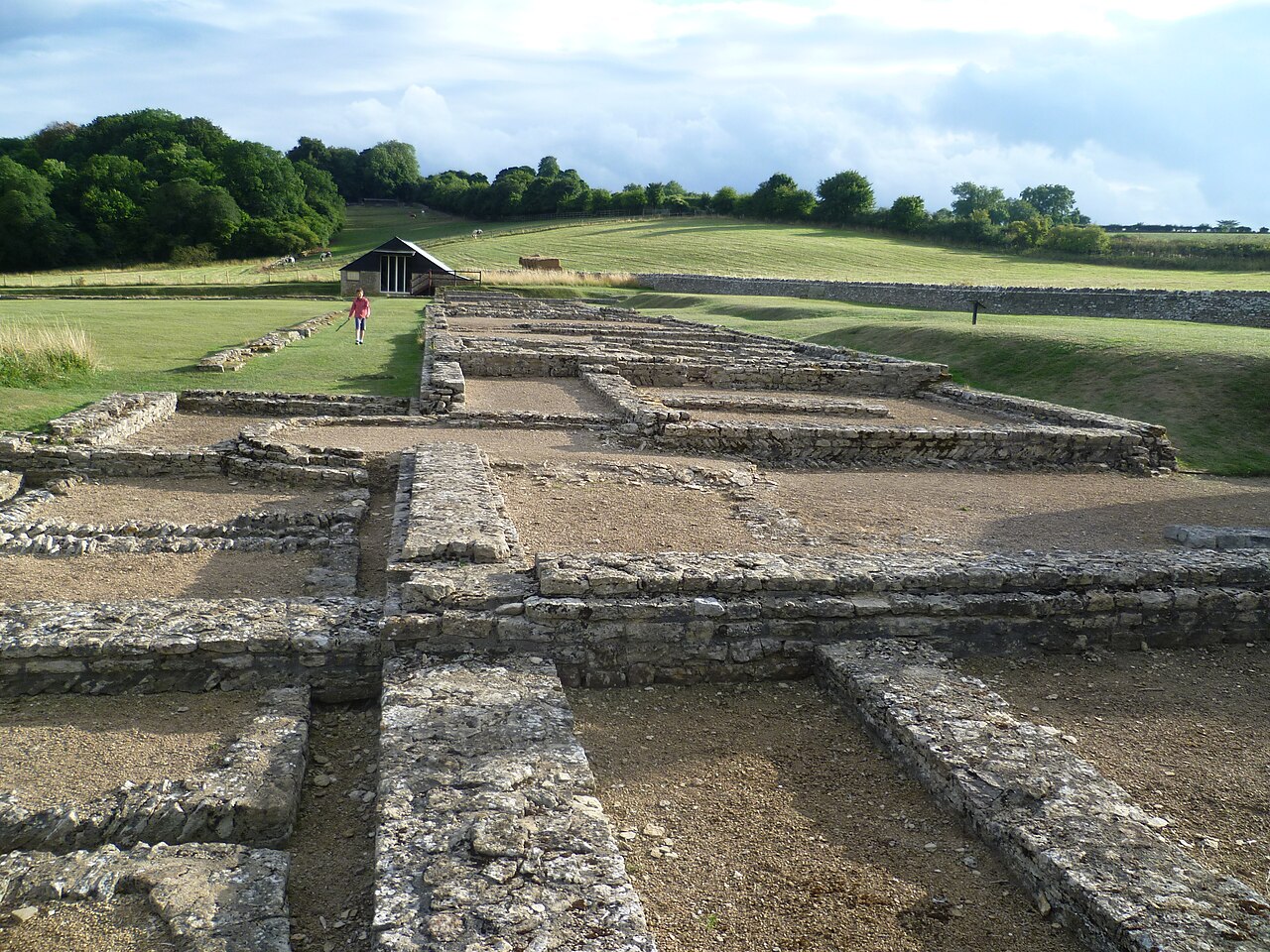
Route surroundings · North Leigh Roman Villa.JPG — Lolalatorre — CC BY-SA 3.0 (https://creativecommons.org/licenses/by-sa/3.0) — https://commons.wikimedia.org/wiki/File:North_Leigh_Roman_Villa.JPG

Lolalatorre
CC BY-SA 3.0
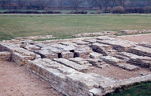
Route surroundings · North Leigh Roman Villa - geograph.org.uk - 11995.jpg — Claire Ward — CC BY-SA 2.0 (https://creativecommons.org/licenses/by-sa/2.0) — https://commons.wikimedia.org/wiki/File:North_Leigh_Roman_Villa_-_geograph.org.uk_-_11995.jpg

Claire Ward
CC BY-SA 2.0
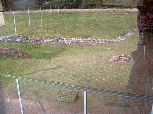
Route surroundings · North Leigh Roman Villa - geograph.org.uk - 1408346.jpg — Paul Shreeve — CC BY-SA 2.0 (https://creativecommons.org/licenses/by-sa/2.0) — https://commons.wikimedia.org/wiki/File:North_Leigh_Roman_Villa_-_geograph.org.uk_-_1408346.jpg

Paul Shreeve
CC BY-SA 2.0
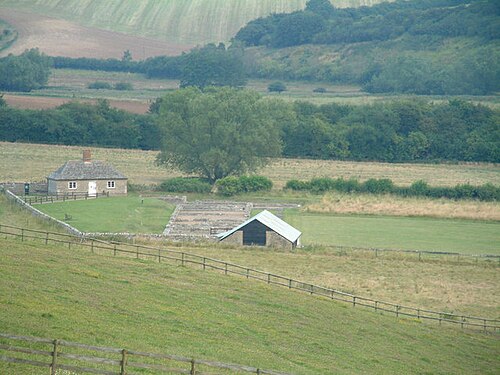
Route surroundings · North Leigh Roman Villa - geograph.org.uk - 385793.jpg — Jeff Tomlinson — CC BY-SA 2.0 (https://creativecommons.org/licenses/by-sa/2.0) — https://commons.wikimedia.org/wiki/File:North_Leigh_Roman_Villa_-_geograph.org.uk_-_385793.jpg

Jeff Tomlinson
CC BY-SA 2.0
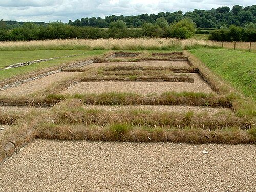
Route surroundings · North Leigh Roman Villa remains - geograph.org.uk - 1408340.jpg — Paul Shreeve — CC BY-SA 2.0 (https://creativecommons.org/licenses/by-sa/2.0) — https://commons.wikimedia.org/wiki/File:North_Leigh_Roman_Villa_remains_-_geograph.org.uk_-_1408340.jpg

Paul Shreeve
CC BY-SA 2.0
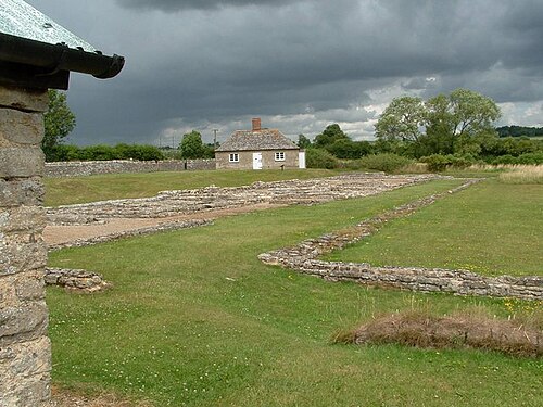
Route surroundings · Site of North Leigh Roman Villa - geograph.org.uk - 1408338.jpg — Paul Shreeve — CC BY-SA 2.0 (https://creativecommons.org/licenses/by-sa/2.0) — https://commons.wikimedia.org/wiki/File:Site_of_North_Leigh_Roman_Villa_-_geograph.org.uk_-_1408338.jpg

Paul Shreeve
CC BY-SA 2.0
View original activity in YouVisible
Weather on your route
Loading forecast…
Sources and credits
Outdooractive Creative Commons · CC0 1.0 · https://www.outdooractive.com/r/809538371
Outdooractive · Creative Commons Routes · CC0 1.0
Route photograph
Route surroundings · North Leigh Roman Villa.JPG — Lolalatorre — CC BY-SA 3.0 (https://creativecommons.org/licenses/by-sa/3.0) — https://commons.wikimedia.org/wiki/File:North_Leigh_Roman_Villa.JPG
Lolalatorre · CC BY-SA 3.0 · Media source
Route photograph
Route surroundings · North Leigh Roman Villa - geograph.org.uk - 11995.jpg — Claire Ward — CC BY-SA 2.0 (https://creativecommons.org/licenses/by-sa/2.0) — https://commons.wikimedia.org/wiki/File:North_Leigh_Roman_Villa_-_geograph.org.uk_-_11995.jpg
Claire Ward · CC BY-SA 2.0 · Media source
Route photograph
Route surroundings · North Leigh Roman Villa - geograph.org.uk - 1408346.jpg — Paul Shreeve — CC BY-SA 2.0 (https://creativecommons.org/licenses/by-sa/2.0) — https://commons.wikimedia.org/wiki/File:North_Leigh_Roman_Villa_-_geograph.org.uk_-_1408346.jpg
Paul Shreeve · CC BY-SA 2.0 · Media source
Route photograph
Route surroundings · North Leigh Roman Villa - geograph.org.uk - 385793.jpg — Jeff Tomlinson — CC BY-SA 2.0 (https://creativecommons.org/licenses/by-sa/2.0) — https://commons.wikimedia.org/wiki/File:North_Leigh_Roman_Villa_-_geograph.org.uk_-_385793.jpg
Jeff Tomlinson · CC BY-SA 2.0 · Media source
Route photograph
Route surroundings · North Leigh Roman Villa remains - geograph.org.uk - 1408340.jpg — Paul Shreeve — CC BY-SA 2.0 (https://creativecommons.org/licenses/by-sa/2.0) — https://commons.wikimedia.org/wiki/File:North_Leigh_Roman_Villa_remains_-_geograph.org.uk_-_1408340.jpg
Paul Shreeve · CC BY-SA 2.0 · Media source
Route photograph
Route surroundings · Site of North Leigh Roman Villa - geograph.org.uk - 1408338.jpg — Paul Shreeve — CC BY-SA 2.0 (https://creativecommons.org/licenses/by-sa/2.0) — https://commons.wikimedia.org/wiki/File:Site_of_North_Leigh_Roman_Villa_-_geograph.org.uk_-_1408338.jpg
Paul Shreeve · CC BY-SA 2.0 · Media source