Find your next route
Explore hiking, running, trail running and cycling routes that suit your plans.

Community route
Walsall Canal · Cycling circuit with walking transfers
Complete published reference itinerary: Walsall Canal · Cycling circuit with walking transfers. The complete native provider GPX is retained. The gallery shows identified local surroundings and does not position photographs on the track. Distance: 56.614 km.
By YouVisible Sport
Mapa del recorrido
Perfil de elevación
Activity measurements
- distance meters
- 56,613.5991465412
- elevation gain meters
- 471.3
- elevation loss meters
- 466
- max elevation meters
- 162.1
- min elevation meters
- 110.4
- end · latitude
- 52.646037
- end · longitude
- -1.967509
- estimated duration seconds
- 9,900
- start · latitude
- 52.644564
- start · longitude
- -1.972188
- Sport
- Cycling
- Specialty
- cycling road
From start to finish
- Country
- United Kingdom
- Province / region
- —
- Localities
- —
Before you go
- How to reach the start
- —
- Parking and access
- —
- Advice
- Guide + verified export. Follow posted access permissions, temporary closures and local conditions. Check the route status before setting out. Follow the permitted direction and traffic rules; road sections share traffic. This is a mixed canal and road circuit with mandatory walking transfers. Dismount and push through steps, pedestrian links, the signed dismount bridge and the approximately 14 m against the vehicle direction at Richmond Street South. Give pedestrians priority on towpaths. Check Canal & River Trust closures and the Towpath Code before setting out. Do not ride pedestrian-only sections. Provider elevations, where present, are not measurements performed by YouVisible. Photographs are labelled “Route surroundings”. Publisher’s orientative minimum time; allow longer for pace, conditions and any walking transfers.
- Recommended equipment
- —
- Terrain
- —
- Signage
- —
Characteristics and difficulty
- Estimated duration
- 2 h 45 min
- Author perceived effort
- —
- Physical difficulty
- —
- Technical difficulty
- —
About the route
Complete published reference itinerary: Walsall Canal · Cycling circuit with walking transfers. The complete native provider GPX is retained. The gallery shows identified local surroundings and does not position photographs on the track. Distance: 56.614 km.
- Context
- —
- Specialty
- cycling road
- Event type
- —
- Description
- Route surroundings · real photographs with individual author and licence credits.
- Title
- Route highlights
- Title
- Sesión
- Description
- Complete published reference itinerary: Walsall Canal · Cycling circuit with walking transfers. The complete native provider GPX is retained. The gallery shows identified local surroundings and does not position photographs on the track. Distance: 56.614 km.
- Description
- Route surroundings · Birchills.canal.yard.1.jpg. Photograph of the identified place or its documented surroundings; no track position is implied.
- Title
- Route surroundings · Birchills.canal.yard.1.jpg
- Description
- Route surroundings · Birchills Junction.jpg. Photograph of the identified place or its documented surroundings; no track position is implied.
- Title
- Route surroundings · Birchills Junction.jpg
- Description
- Route surroundings · Walsall Branch Canal - Birchills Bridge - geograph.org.uk - 884469.jpg. Photograph of the identified place or its documented surroundings; no track position is implied.
- Title
- Route surroundings · Walsall Branch Canal - Birchills Bridge - geograph.org.uk - 884469.jpg
- Description
- Route surroundings · Walsall Canal - Brickhouse Lane Bridge - geograph.org.uk - 1172716.jpg. Photograph of the identified place or its documented surroundings; no track position is implied.
- Title
- Route surroundings · Walsall Canal - Brickhouse Lane Bridge - geograph.org.uk - 1172716.jpg
- Description
- Route surroundings · Walsall Waterfront.2013.jpg. Photograph of the identified place or its documented surroundings; no track position is implied.
- Title
- Route surroundings · Walsall Waterfront.2013.jpg
- Description
- Route surroundings · Walsall Canal by Spine Road.jpg. Photograph of the identified place or its documented surroundings; no track position is implied.
- Title
- Route surroundings · Walsall Canal by Spine Road.jpg
- Description
- Route surroundings · Birchills.canal.yard.1.jpg. Photograph of the identified place or its documented surroundings; no track position is implied.
- Title
- Route surroundings · Birchills.canal.yard.1.jpg
- Description
- Route surroundings · Birchills Junction.jpg. Photograph of the identified place or its documented surroundings; no track position is implied.
- Title
- Route surroundings · Birchills Junction.jpg
- Description
- Route surroundings · Walsall Branch Canal - Birchills Bridge - geograph.org.uk - 884469.jpg. Photograph of the identified place or its documented surroundings; no track position is implied.
- Title
- Route surroundings · Walsall Branch Canal - Birchills Bridge - geograph.org.uk - 884469.jpg
- Description
- Route surroundings · Walsall Canal - Brickhouse Lane Bridge - geograph.org.uk - 1172716.jpg. Photograph of the identified place or its documented surroundings; no track position is implied.
- Title
- Route surroundings · Walsall Canal - Brickhouse Lane Bridge - geograph.org.uk - 1172716.jpg
- Description
- Route surroundings · Walsall Waterfront.2013.jpg. Photograph of the identified place or its documented surroundings; no track position is implied.
- Title
- Route surroundings · Walsall Waterfront.2013.jpg
- Description
- Route surroundings · Walsall Canal by Spine Road.jpg. Photograph of the identified place or its documented surroundings; no track position is implied.
- Title
- Route surroundings · Walsall Canal by Spine Road.jpg
- Advice
- Guide + verified export. Follow posted access permissions, temporary closures and local conditions. Check the route status before setting out. Follow the permitted direction and traffic rules; road sections share traffic. This is a mixed canal and road circuit with mandatory walking transfers. Dismount and push through steps, pedestrian links, the signed dismount bridge and the approximately 14 m against the vehicle direction at Richmond Street South. Give pedestrians priority on towpaths. Check Canal & River Trust closures and the Towpath Code before setting out. Do not ride pedestrian-only sections. Provider elevations, where present, are not measurements performed by YouVisible. Photographs are labelled “Route surroundings”. Publisher’s orientative minimum time; allow longer for pace, conditions and any walking transfers.
- Title
- Walsall Canal · Cycling circuit with walking transfers
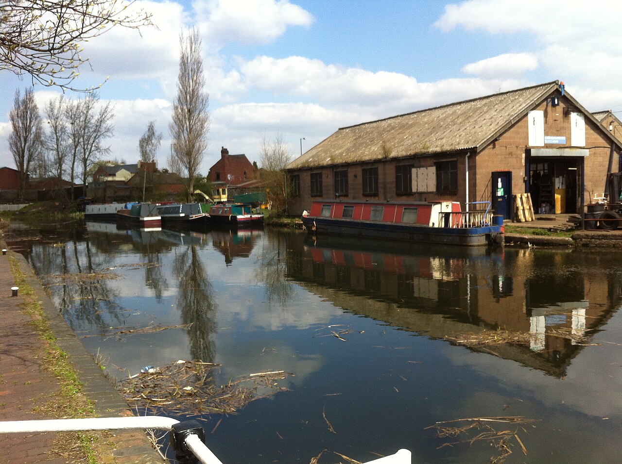
Route surroundings · Birchills.canal.yard.1.jpg — Ryan kirk — CC BY-SA 3.0 (https://creativecommons.org/licenses/by-sa/3.0) — https://commons.wikimedia.org/wiki/File:Birchills.canal.yard.1.jpg

Ryan kirk
CC BY-SA 3.0
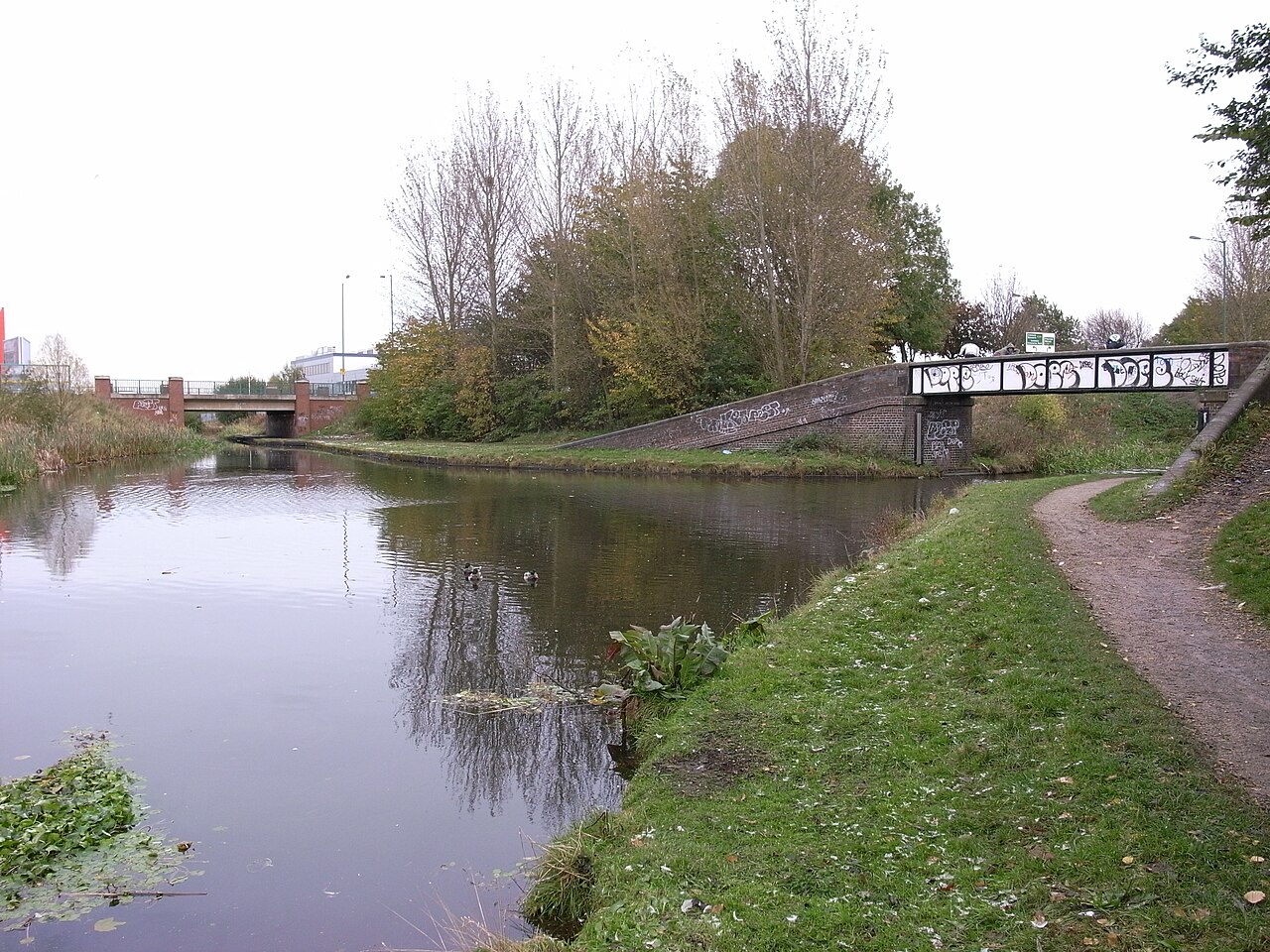
Route surroundings · Birchills Junction.jpg — Oosoom — CC BY-SA 3.0 (https://creativecommons.org/licenses/by-sa/3.0) — https://commons.wikimedia.org/wiki/File:Birchills_Junction.jpg

Oosoom
CC BY-SA 3.0
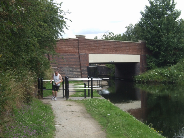
Route surroundings · Walsall Branch Canal - Birchills Bridge - geograph.org.uk - 884469.jpg — John M — CC BY-SA 2.0 (https://creativecommons.org/licenses/by-sa/2.0) — https://commons.wikimedia.org/wiki/File:Walsall_Branch_Canal_-_Birchills_Bridge_-_geograph.org.uk_-_884469.jpg

John M
CC BY-SA 2.0
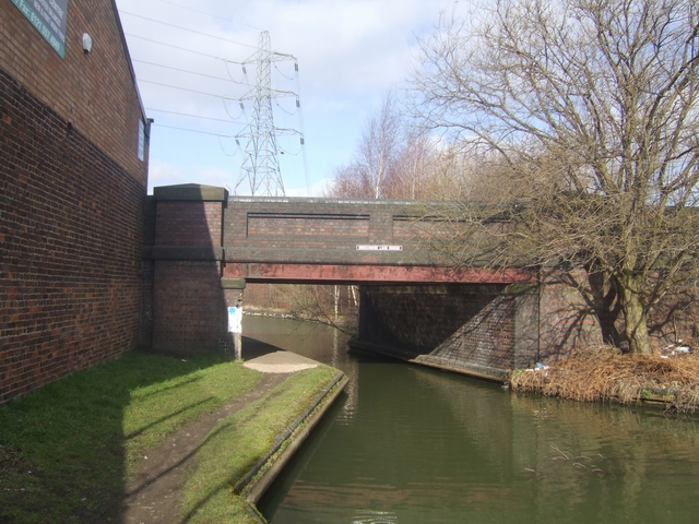
Route surroundings · Walsall Canal - Brickhouse Lane Bridge - geograph.org.uk - 1172716.jpg — John M — CC BY-SA 2.0 (https://creativecommons.org/licenses/by-sa/2.0) — https://commons.wikimedia.org/wiki/File:Walsall_Canal_-_Brickhouse_Lane_Bridge_-_geograph.org.uk_-_1172716.jpg

John M
CC BY-SA 2.0
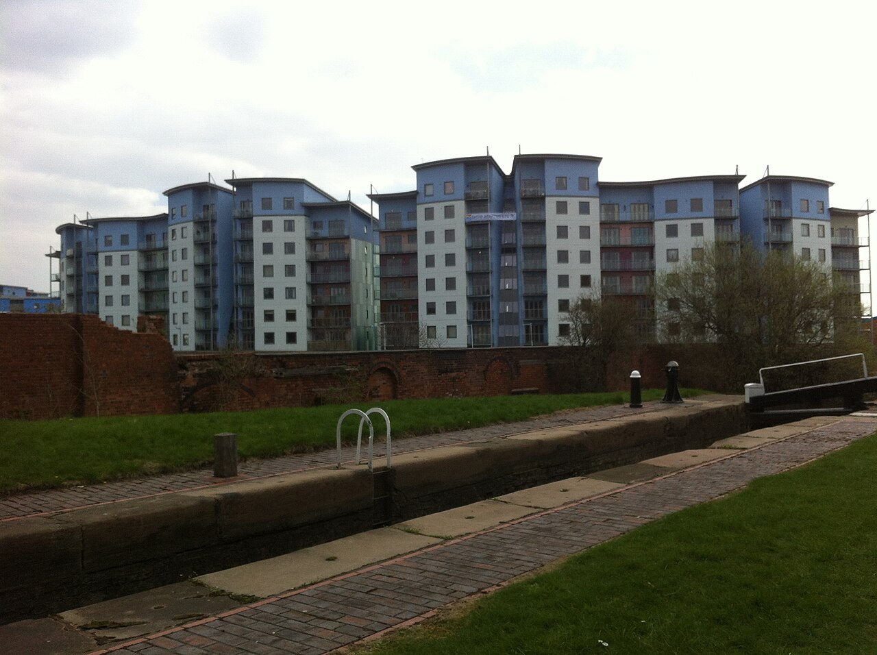
Route surroundings · Walsall Waterfront.2013.jpg — Ryan kirk — CC BY-SA 3.0 (https://creativecommons.org/licenses/by-sa/3.0) — https://commons.wikimedia.org/wiki/File:Walsall_Waterfront.2013.jpg

Ryan kirk
CC BY-SA 3.0
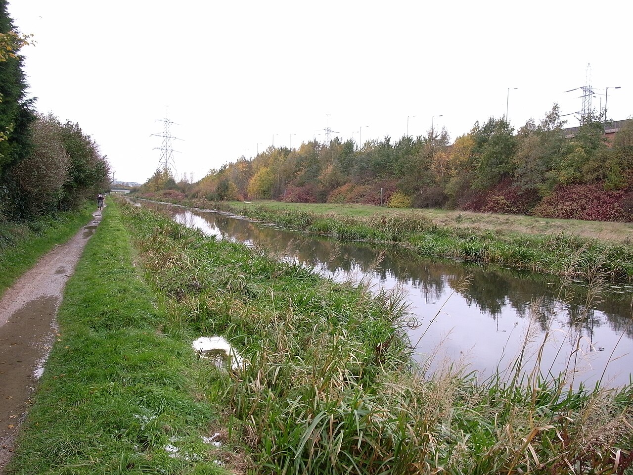
Route surroundings · Walsall Canal by Spine Road.jpg — Oosoom — CC BY-SA 3.0 (https://creativecommons.org/licenses/by-sa/3.0) — https://commons.wikimedia.org/wiki/File:Walsall_Canal_by_Spine_Road.jpg

Oosoom
CC BY-SA 3.0
View original activity in YouVisible
Weather on your route
Loading forecast…
Sources and credits
Outdooractive Creative Commons · CC0 1.0 · https://www.outdooractive.com/r/809605574
Outdooractive Creative Commons · Creative Commons Routes · CC0 1.0
Route photograph
Route surroundings · Birchills.canal.yard.1.jpg — Ryan kirk — CC BY-SA 3.0 (https://creativecommons.org/licenses/by-sa/3.0) — https://commons.wikimedia.org/wiki/File:Birchills.canal.yard.1.jpg
Ryan kirk · CC BY-SA 3.0 · Media source
Route photograph
Route surroundings · Birchills Junction.jpg — Oosoom — CC BY-SA 3.0 (https://creativecommons.org/licenses/by-sa/3.0) — https://commons.wikimedia.org/wiki/File:Birchills_Junction.jpg
Oosoom · CC BY-SA 3.0 · Media source
Route photograph
Route surroundings · Walsall Branch Canal - Birchills Bridge - geograph.org.uk - 884469.jpg — John M — CC BY-SA 2.0 (https://creativecommons.org/licenses/by-sa/2.0) — https://commons.wikimedia.org/wiki/File:Walsall_Branch_Canal_-_Birchills_Bridge_-_geograph.org.uk_-_884469.jpg
John M · CC BY-SA 2.0 · Media source
Route photograph
Route surroundings · Walsall Canal - Brickhouse Lane Bridge - geograph.org.uk - 1172716.jpg — John M — CC BY-SA 2.0 (https://creativecommons.org/licenses/by-sa/2.0) — https://commons.wikimedia.org/wiki/File:Walsall_Canal_-_Brickhouse_Lane_Bridge_-_geograph.org.uk_-_1172716.jpg
John M · CC BY-SA 2.0 · Media source
Route photograph
Route surroundings · Walsall Waterfront.2013.jpg — Ryan kirk — CC BY-SA 3.0 (https://creativecommons.org/licenses/by-sa/3.0) — https://commons.wikimedia.org/wiki/File:Walsall_Waterfront.2013.jpg
Ryan kirk · CC BY-SA 3.0 · Media source
Route photograph
Route surroundings · Walsall Canal by Spine Road.jpg — Oosoom — CC BY-SA 3.0 (https://creativecommons.org/licenses/by-sa/3.0) — https://commons.wikimedia.org/wiki/File:Walsall_Canal_by_Spine_Road.jpg
Oosoom · CC BY-SA 3.0 · Media source