Find your next route
Explore hiking, running, trail running and cycling routes that suit your plans.

Community route
Hugh Norris Trail · the ascent from Bajada Loop
Climb east from Bajada Loop on the Hugh Norris Trail through the Tucson Mountain District of Saguaro National Park. The route heads towards the Wasson Peak area through desert slopes and ridge scenery. It is a one-way ascent; access and the return journey need separate planning. Archive photographs show the trail, saguaros and surrounding mountains.
By YouVisible Sport
Mapa del recorrido
Activity measurements
- distance meters
- 7,750.1830107862
- end · latitude
- 32.2732683
- end · longitude
- -111.147142
- start · latitude
- 32.2714451
- start · longitude
- -111.2030237
- Sport
- hiking mountaineering
- Specialty
- Hiking
From start to finish
- Country
- United States
- Province / region
- —
- Localities
- Tucson
Before you go
- How to reach the start
- —
- Parking and access
- —
- Advice
- Check weather, heat and water information with the park and plan the return separately.
- Recommended equipment
- Walking footwear with good grip, drinking water, food, sun protection and navigation appropriate to the conditions.
- Terrain
- NPS describes soil trail surfaces.
- Signage
- —
Characteristics and difficulty
- Estimated duration
- —
- Author perceived effort
- —
- Physical difficulty
- —
- Technical difficulty
- —
About the route
Climb east from Bajada Loop on the Hugh Norris Trail through the Tucson Mountain District of Saguaro National Park. The route heads towards the Wasson Peak area through desert slopes and ridge scenery. It is a one-way ascent; access and the return journey need separate planning. Archive photographs show the trail, saguaros and surrounding mountains.
- Context
- —
- Specialty
- Hiking
- Event type
- —
- Description
- Places and natural details from the route and its local setting, with individual photographic credits and licences.
- Title
- Route highlights
- Title
- Sesión
- Description
- Climb east from Bajada Loop on the Hugh Norris Trail through the Tucson Mountain District of Saguaro National Park. The route heads towards the Wasson Peak area through desert slopes and ridge scenery. It is a one-way ascent; access and the return journey need separate planning. Archive photographs show the trail, saguaros and surrounding mountains.
- Description
- Archive photograph from the Hugh Norris Trail area, published by Dave Bezaire.
- Title
- Saguaros and desert flowers
- Description
- Archive photograph from the Hugh Norris Trail area, published by Dave Bezaire.
- Title
- Cacti beside Hugh Norris Trail
- Description
- Archive photograph from the Hugh Norris Trail area, published by Dave Bezaire.
- Title
- Flowers against the saguaros
- Description
- Archive photograph from the Hugh Norris Trail area, published by Dave Bezaire.
- Title
- A weathered cactus
- Description
- Archive photograph from the Hugh Norris Trail area, published by Dave Bezaire.
- Title
- Desert slopes
- Description
- Archive photograph from the Hugh Norris Trail area, published by brewbooks.
- Title
- The western valley view
- Description
- Archive photograph from the Hugh Norris Trail area, published by Dave Bezaire.
- Title
- Saguaros and desert flowers
- Description
- Archive photograph from the Hugh Norris Trail area, published by Dave Bezaire.
- Title
- Cacti beside Hugh Norris Trail
- Description
- Archive photograph from the Hugh Norris Trail area, published by Dave Bezaire.
- Title
- Flowers against the saguaros
- Description
- Archive photograph from the Hugh Norris Trail area, published by Dave Bezaire.
- Title
- A weathered cactus
- Description
- Archive photograph from the Hugh Norris Trail area, published by Dave Bezaire.
- Title
- Desert slopes
- Description
- Archive photograph from the Hugh Norris Trail area, published by brewbooks.
- Title
- The western valley view
- Advice
- Check weather, heat and water information with the park and plan the return separately.
- Recommended equipment
- Walking footwear with good grip, drinking water, food, sun protection and navigation appropriate to the conditions.
- Terrain
- NPS describes soil trail surfaces.
- Title
- Hugh Norris Trail · the ascent from Bajada Loop
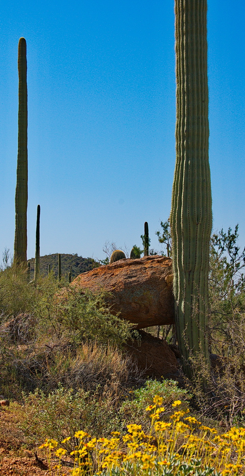
Hugh Norris Trail 6 — Dave Bezaire — CC BY-SA 2.0 (https://creativecommons.org/licenses/by-sa/2.0/) — https://www.flickr.com/photos/75988799@N00/6968708617/ — No local modifications.
Dave Bezaire
CC BY-SA 2.0
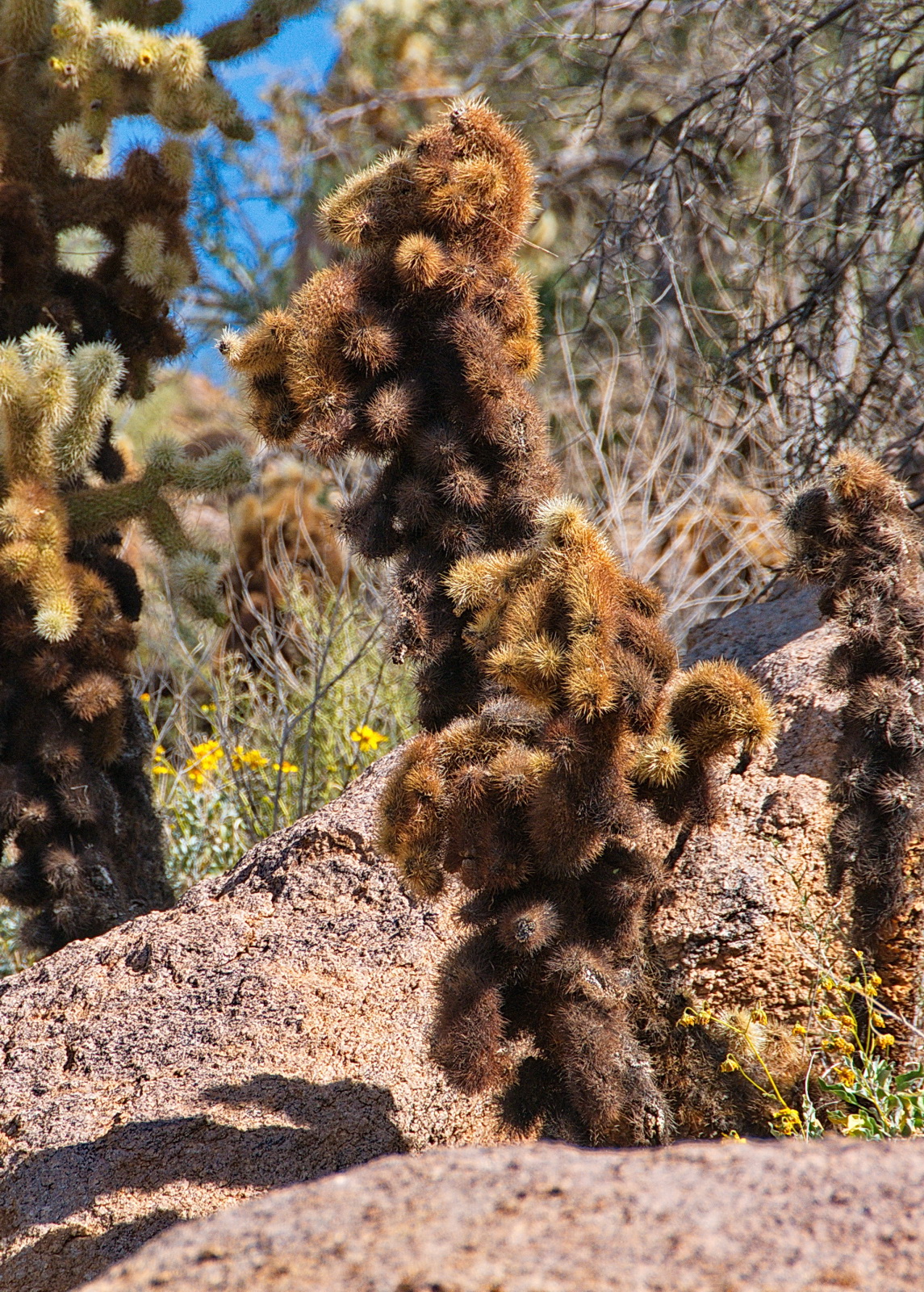
Hugh Norris Trail 7 — Dave Bezaire — CC BY-SA 2.0 (https://creativecommons.org/licenses/by-sa/2.0/) — https://www.flickr.com/photos/75988799@N00/6822605308/ — No local modifications.
Dave Bezaire
CC BY-SA 2.0
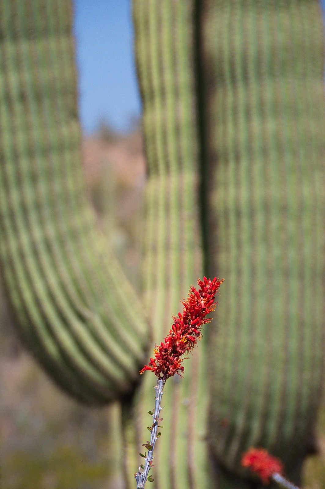
Hugh Norris Trail 31 — Dave Bezaire — CC BY-SA 2.0 (https://creativecommons.org/licenses/by-sa/2.0/) — https://www.flickr.com/photos/75988799@N00/6822599808/ — No local modifications.
Dave Bezaire
CC BY-SA 2.0
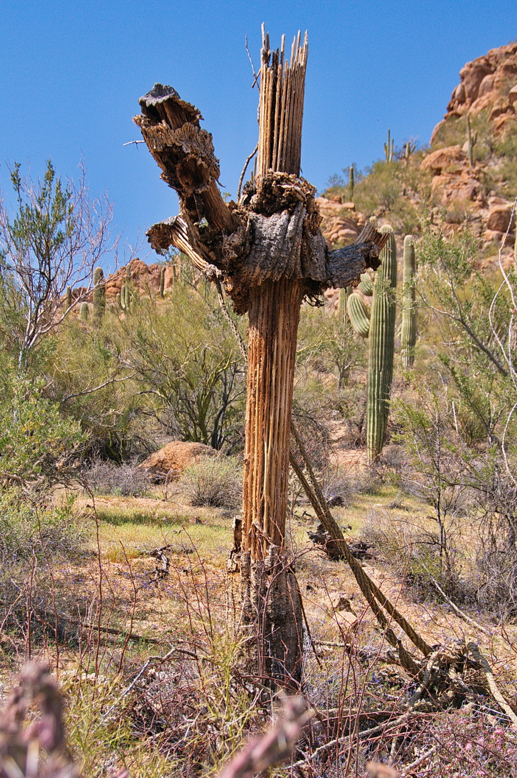
Hugh Norris Trail 36 — Dave Bezaire — CC BY-SA 2.0 (https://creativecommons.org/licenses/by-sa/2.0/) — https://www.flickr.com/photos/75988799@N00/6822600806/ — No local modifications.
Dave Bezaire
CC BY-SA 2.0
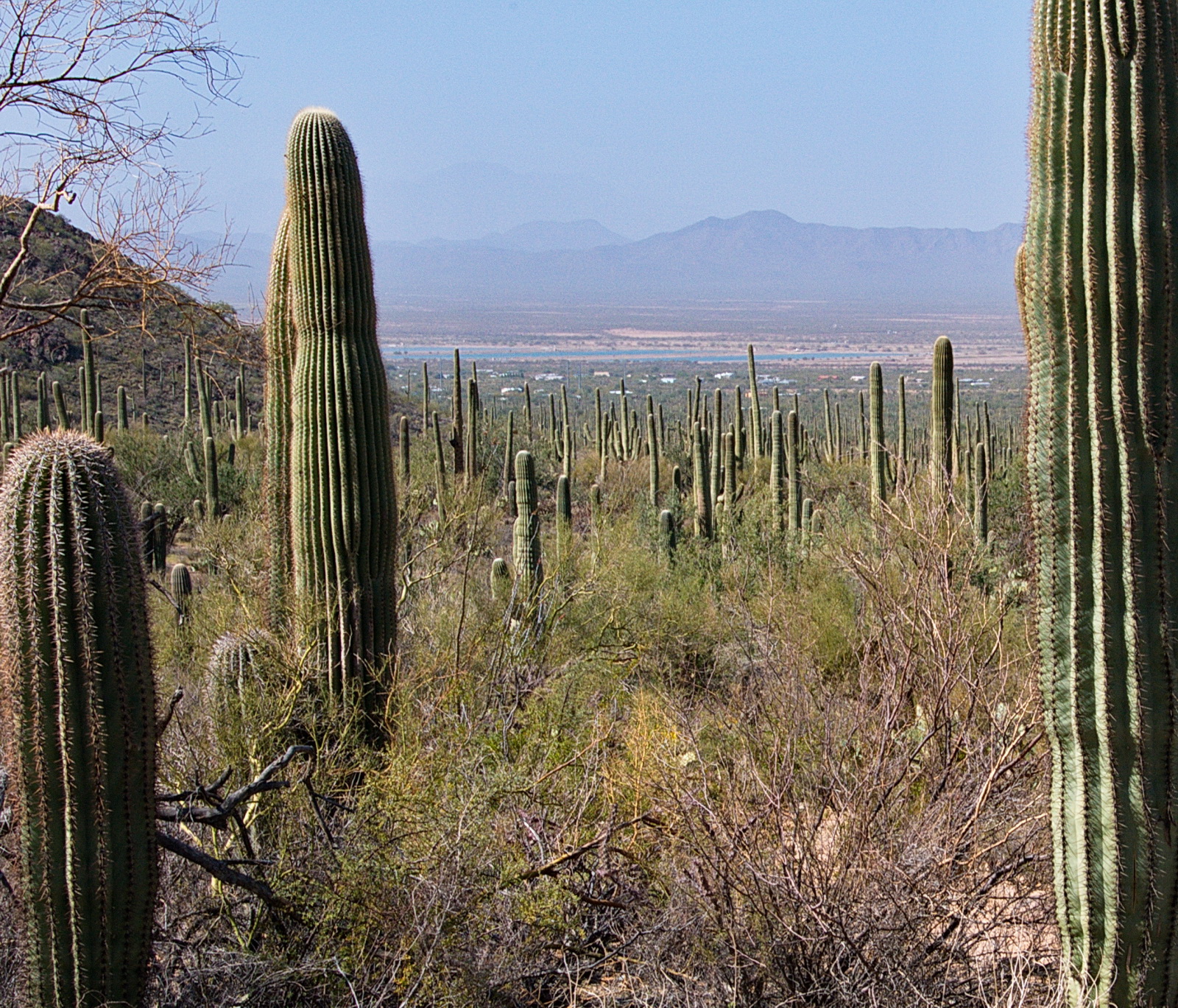
Hugh Norris Trail 5 — Dave Bezaire — CC BY-SA 2.0 (https://creativecommons.org/licenses/by-sa/2.0/) — https://www.flickr.com/photos/75988799@N00/6822586366/ — No local modifications.
Dave Bezaire
CC BY-SA 2.0
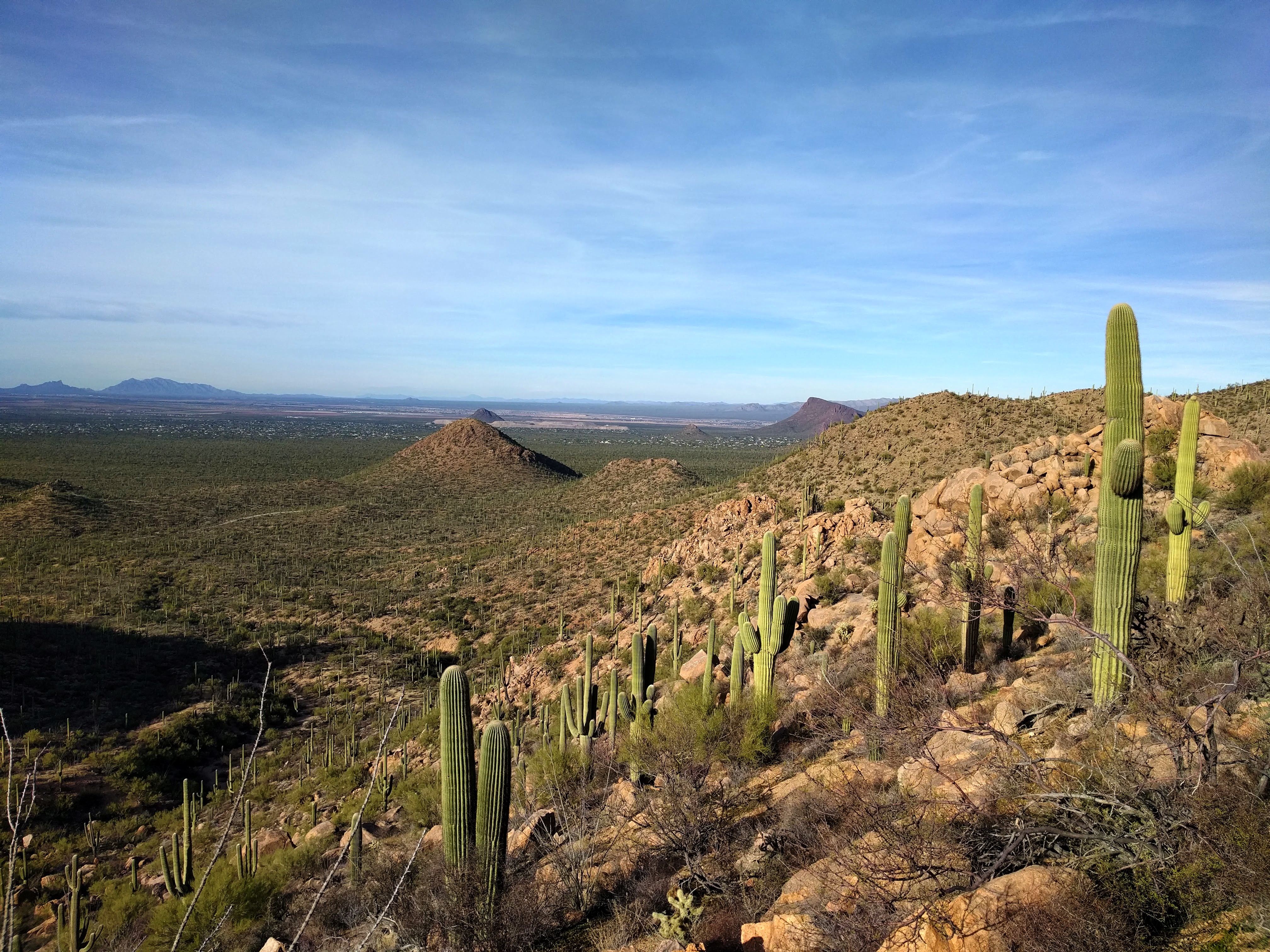
View to the west — brewbooks — CC BY-SA 2.0 (https://creativecommons.org/licenses/by-sa/2.0/) — https://www.flickr.com/photos/93452909@N00/31483558233/ — No local modifications.
brewbooks
CC BY-SA 2.0
View original activity in YouVisible
Weather on your route
Loading forecast…
Sources and credits
National Park Service. Original U.S. Government mapping, public domain; no protection is claimed in original U.S. Government works. Photographs have separate individual licences.
National Park Service · NPS Public Trails · Public domain · U.S. Government work
Saguaros and desert flowers
Hugh Norris Trail 6 — Dave Bezaire — CC BY-SA 2.0 (https://creativecommons.org/licenses/by-sa/2.0/) — https://www.flickr.com/photos/75988799@N00/6968708617/ — No local modifications.
Dave Bezaire · CC BY-SA 2.0 · Media source
Cacti beside Hugh Norris Trail
Hugh Norris Trail 7 — Dave Bezaire — CC BY-SA 2.0 (https://creativecommons.org/licenses/by-sa/2.0/) — https://www.flickr.com/photos/75988799@N00/6822605308/ — No local modifications.
Dave Bezaire · CC BY-SA 2.0 · Media source
Flowers against the saguaros
Hugh Norris Trail 31 — Dave Bezaire — CC BY-SA 2.0 (https://creativecommons.org/licenses/by-sa/2.0/) — https://www.flickr.com/photos/75988799@N00/6822599808/ — No local modifications.
Dave Bezaire · CC BY-SA 2.0 · Media source
A weathered cactus
Hugh Norris Trail 36 — Dave Bezaire — CC BY-SA 2.0 (https://creativecommons.org/licenses/by-sa/2.0/) — https://www.flickr.com/photos/75988799@N00/6822600806/ — No local modifications.
Dave Bezaire · CC BY-SA 2.0 · Media source
Desert slopes
Hugh Norris Trail 5 — Dave Bezaire — CC BY-SA 2.0 (https://creativecommons.org/licenses/by-sa/2.0/) — https://www.flickr.com/photos/75988799@N00/6822586366/ — No local modifications.
Dave Bezaire · CC BY-SA 2.0 · Media source
The western valley view
View to the west — brewbooks — CC BY-SA 2.0 (https://creativecommons.org/licenses/by-sa/2.0/) — https://www.flickr.com/photos/93452909@N00/31483558233/ — No local modifications.
brewbooks · CC BY-SA 2.0 · Media source