Find your next route
Explore hiking, running, trail running and cycling routes that suit your plans.

Community route
Sizewell to Dunwich · heath and shingle
Continue along the Suffolk coast from Sizewell to Dunwich on the main alignment of report AHS 2 of the King Charles III England Coast Path. The reference preserves the selected official route, combining the coastal landscape with the approach to Dunwich. Leiston is the nearby town used for the location reference; the track itself starts at Sizewell. Natural England’s current stretch page records an approved variation affecting Dunwich Heath, so use current signs and the latest access maps at that section. Archive beach photographs are context for the route and do not confirm present access or safe swimming conditions.
By YouVisible Sport
Mapa del recorrido
Activity measurements
- distance meters
- 9,006.1541977364
- end · latitude
- 52.2791635
- end · longitude
- 1.6248355
- start · latitude
- 52.2096212
- start · longitude
- 1.622335
- Sport
- hiking mountaineering
- Specialty
- Hiking
From start to finish
Beginning of the source reference; no approach added.
Go to start · Google MapsEnd of the source reference; return not included.
Go to finish · Google Maps- Country
- United Kingdom
- Province / region
- —
- Localities
- Leiston
Before you go
- How to reach the start
- —
- Parking and access
- The walk is one-way from Sizewell to Dunwich. Check current notices and the approved Dunwich Heath variation before using the reference on the ground. Current closures, diversions and parking capacity have not been verified. Parking coordinates remain unknown.
- Advice
- Check current National Trails and Natural England access notices, weather and tide information. Keep to the signed route and respect barriers and wildlife restrictions. Do not use tidal mud or the beach as an assumed diversion. Allow for a one-way walk and plan onward transport separately.
- Recommended equipment
- Footwear with good grip, waterproof and windproof layers, drinking water, sun protection when appropriate, an offline map and a charged phone.
- Terrain
- The official source classifies the selected sections as public footpaths, footways and other coastal access sections. Surfaces vary between shore paths, grass, gravel and short road or pavement sections; check the official chapter maps for the section being walked.
- Signage
- —
Characteristics and difficulty
- Estimated duration
- —
- Author perceived effort
- —
- Physical difficulty
- —
- Technical difficulty
- —
About the route
Continue along the Suffolk coast from Sizewell to Dunwich on the main alignment of report AHS 2 of the King Charles III England Coast Path. The reference preserves the selected official route, combining the coastal landscape with the approach to Dunwich. Leiston is the nearby town used for the location reference; the track itself starts at Sizewell. Natural England’s current stretch page records an approved variation affecting Dunwich Heath, so use current signs and the latest access maps at that section. Archive beach photographs are context for the route and do not confirm present access or safe swimming conditions.
- Context
- —
- Specialty
- Hiking
- Event type
- —
- Description
- Archive photographs of the route and its local setting. Context images outside the track are identified in their captions; none establishes current access or conditions.
- Title
- Route highlights
- Title
- Sesión
- Description
- Continue along the Suffolk coast from Sizewell to Dunwich on the main alignment of report AHS 2 of the King Charles III England Coast Path. The reference preserves the selected official route, combining the coastal landscape with the approach to Dunwich. Leiston is the nearby town used for the location reference; the track itself starts at Sizewell. Natural England’s current stretch page records an approved variation affecting Dunwich Heath, so use current signs and the latest access maps at that section. Archive beach photographs are context for the route and do not confirm present access or safe swimming conditions.
- Description
- Archive photograph of Dunwich’s shore in unsettled conditions, retained as supplied by the photographer.
- Title
- The Dunwich shore
- Description
- The shingle shoreline at Dunwich under broken cloud.
- Title
- Beach at Dunwich
- Description
- Archive view along Dunwich beach. Beach access and the signed Coast Path are separate decisions.
- Title
- Dunwich’s wide beach
- Description
- An archive coastal scene at Dunwich. The presence of swimmers is not advice that swimming is safe.
- Title
- Waves at Dunwich
- Description
- A broad view of shingle and sea at Dunwich.
- Title
- Shingle and sea
- Description
- A flock of gulls over the sea at Dunwich; observe seasonal wildlife restrictions on the coast.
- Title
- Gulls above the water
- Description
- Archive photograph of Dunwich’s shore in unsettled conditions, retained as supplied by the photographer.
- Title
- The Dunwich shore
- Description
- The shingle shoreline at Dunwich under broken cloud.
- Title
- Beach at Dunwich
- Description
- Archive view along Dunwich beach. Beach access and the signed Coast Path are separate decisions.
- Title
- Dunwich’s wide beach
- Description
- An archive coastal scene at Dunwich. The presence of swimmers is not advice that swimming is safe.
- Title
- Waves at Dunwich
- Description
- A broad view of shingle and sea at Dunwich.
- Title
- Shingle and sea
- Description
- A flock of gulls over the sea at Dunwich; observe seasonal wildlife restrictions on the coast.
- Title
- Gulls above the water
- Advice
- Check current National Trails and Natural England access notices, weather and tide information. Keep to the signed route and respect barriers and wildlife restrictions. Do not use tidal mud or the beach as an assumed diversion. Allow for a one-way walk and plan onward transport separately.
- Description
- End of the source reference; return not included.
- Parking and access
- The walk is one-way from Sizewell to Dunwich. Check current notices and the approved Dunwich Heath variation before using the reference on the ground. Current closures, diversions and parking capacity have not been verified. Parking coordinates remain unknown.
- Recommended equipment
- Footwear with good grip, waterproof and windproof layers, drinking water, sun protection when appropriate, an offline map and a charged phone.
- Description
- Beginning of the source reference; no approach added.
- Terrain
- The official source classifies the selected sections as public footpaths, footways and other coastal access sections. Surfaces vary between shore paths, grass, gravel and short road or pavement sections; check the official chapter maps for the section being walked.
- Title
- Sizewell to Dunwich · heath and shingle
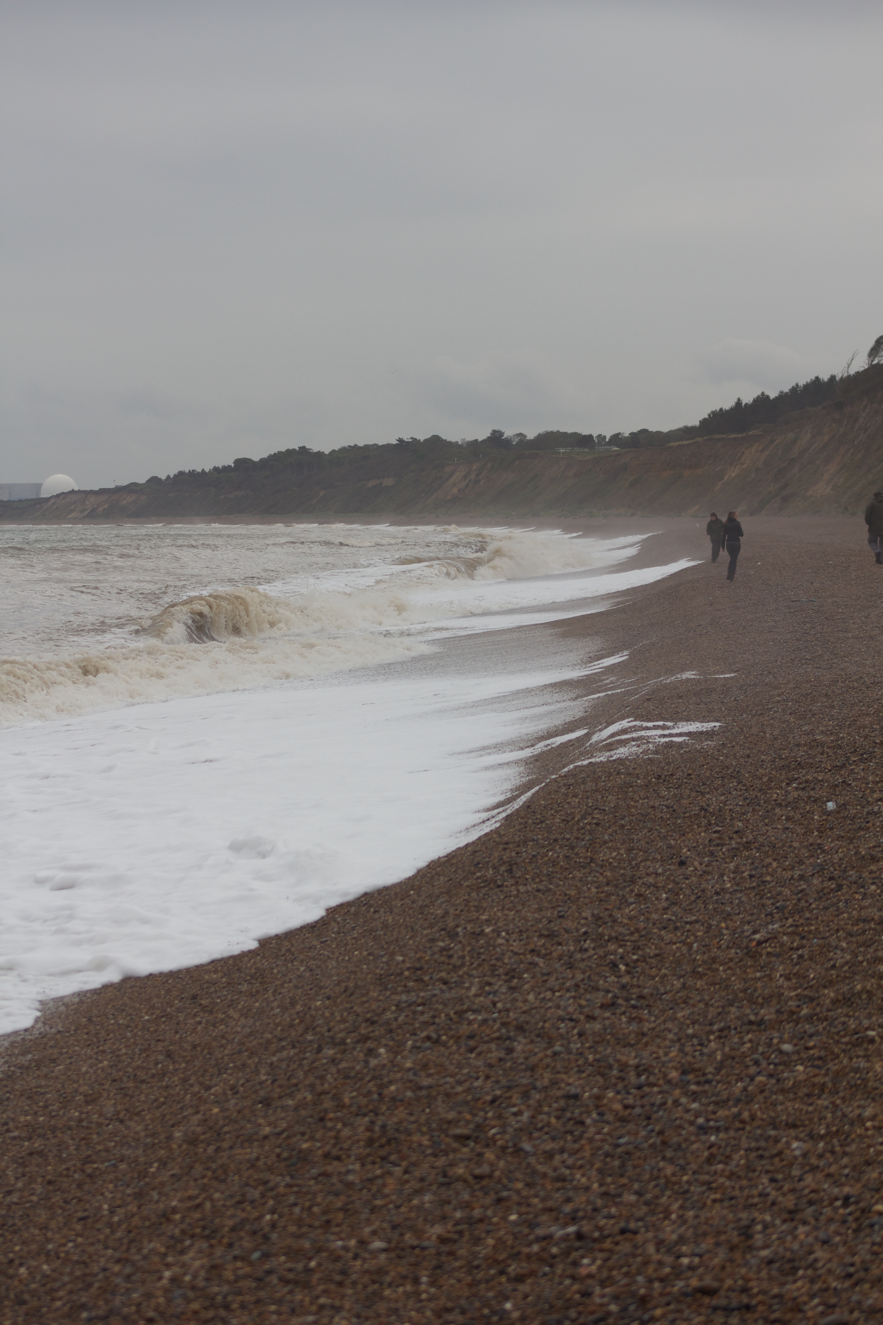
IMG_4908 — Ian Patterson — CC BY 2.0 — https://www.flickr.com/photos/41377219@N02/6115019796/
Ian Patterson
CC BY 2.0
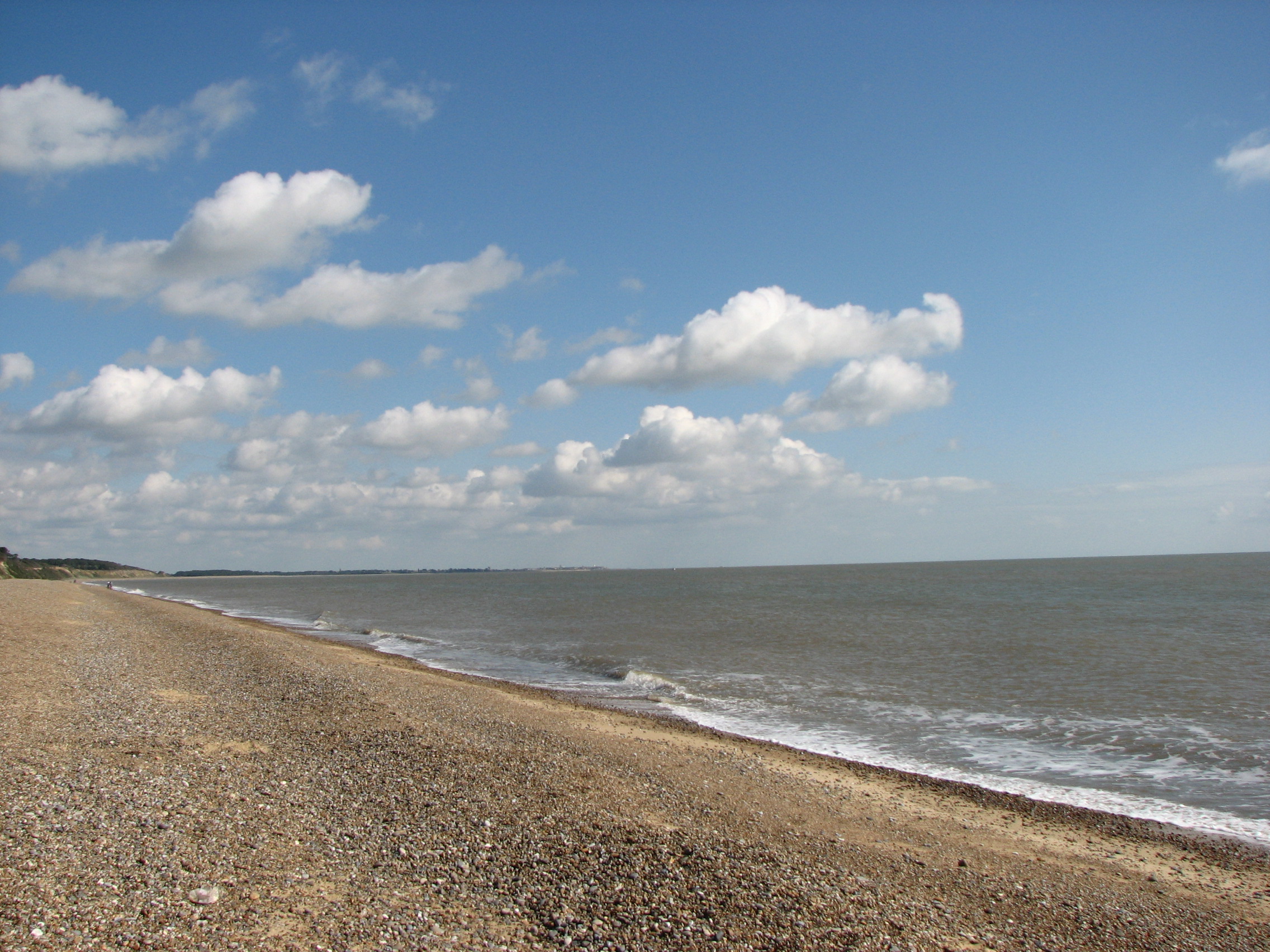
Beach at Dunwich — SNappa2006 — CC BY 2.0 — https://www.flickr.com/photos/65613740@N00/6066481312/
SNappa2006
CC BY 2.0
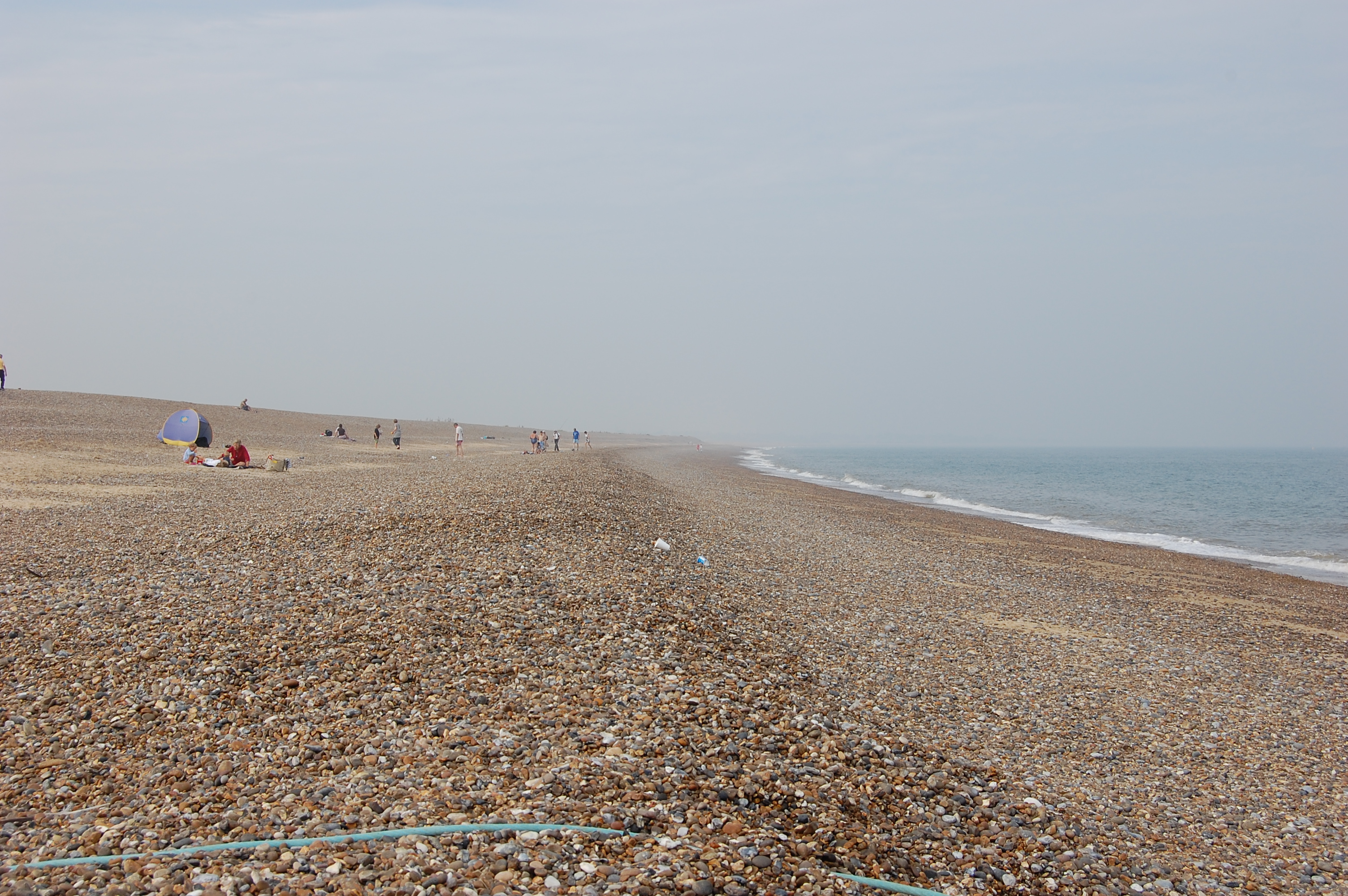
Dunwich Beach — Dave Briggs — CC BY-SA 2.0 — https://www.flickr.com/photos/51913301@N00/2724705827/
Dave Briggs
CC BY-SA 2.0
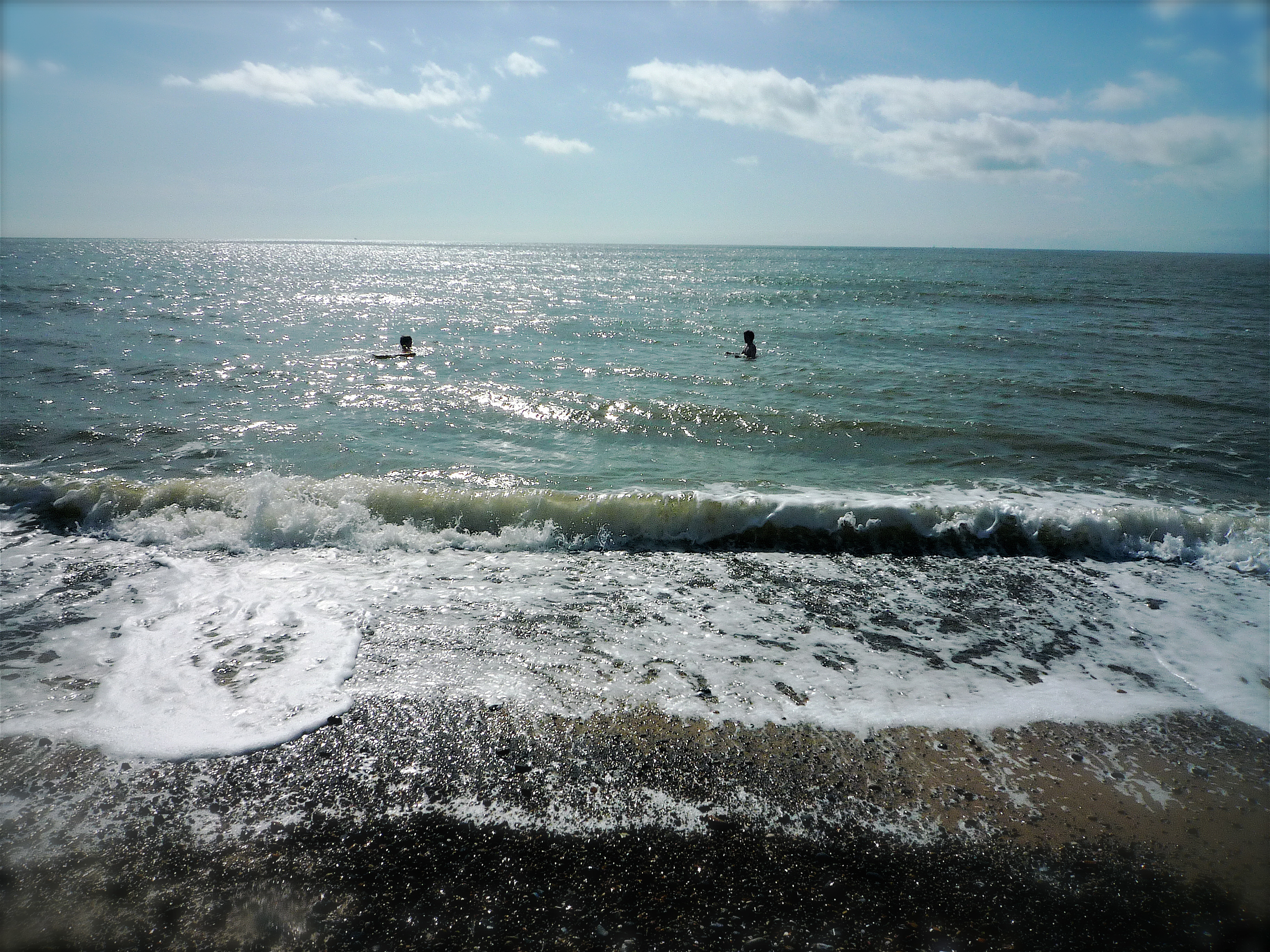
Dunwich Beach, Suffolk — David Barrie — CC BY 2.0 — https://www.flickr.com/photos/69639562@N00/3833160716/
David Barrie
CC BY 2.0
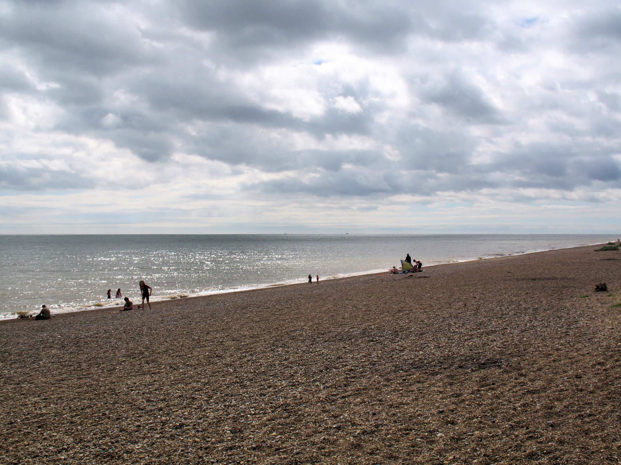
Shingle — Alan Stanton — CC BY-SA 2.0 — https://www.flickr.com/photos/53921762@N00/4968141054/
Alan Stanton
CC BY-SA 2.0
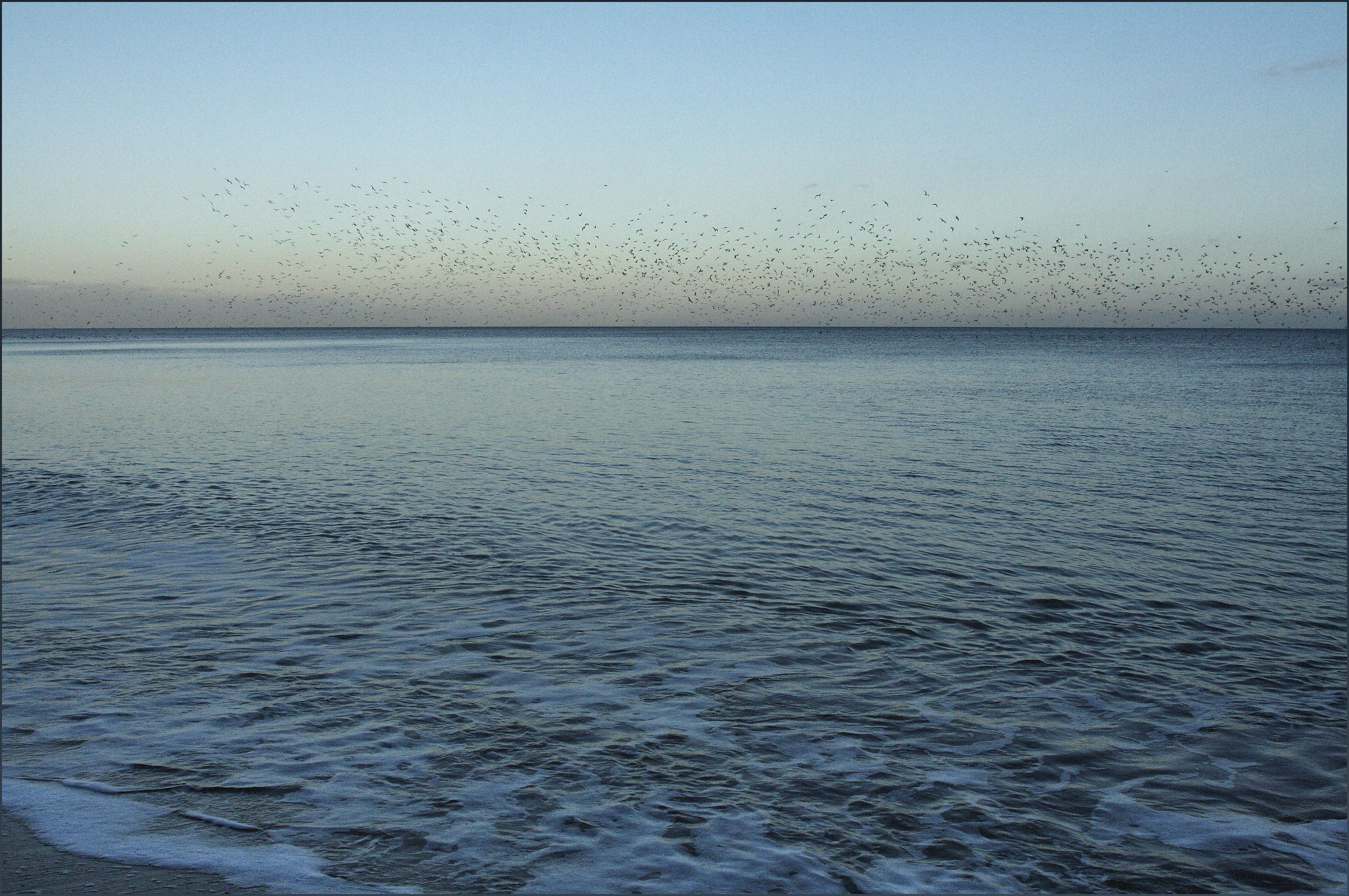
Flock of gulls (Dunwich 1/13 ij14) — Ted and Jen — CC BY 2.0 — https://www.flickr.com/photos/10637778@N00/9331743062/
Ted and Jen
CC BY 2.0
View original activity in YouVisible
Weather on your route
Loading forecast…
Sources and credits
© Natural England copyright. Contains Ordnance Survey data © Crown copyright and database right. Open Government Licence v3.0 — https://www.nationalarchives.gov.uk/doc/open-government-licence/version/3/. Photographs have separate individual licences.
Natural England · King Charles III England Coast Path Route · OGL 3.0
The Dunwich shore
IMG_4908 — Ian Patterson — CC BY 2.0 — https://www.flickr.com/photos/41377219@N02/6115019796/
Ian Patterson · CC BY 2.0 · Media source
Beach at Dunwich
Beach at Dunwich — SNappa2006 — CC BY 2.0 — https://www.flickr.com/photos/65613740@N00/6066481312/
SNappa2006 · CC BY 2.0 · Media source
Dunwich’s wide beach
Dunwich Beach — Dave Briggs — CC BY-SA 2.0 — https://www.flickr.com/photos/51913301@N00/2724705827/
Dave Briggs · CC BY-SA 2.0 · Media source
Waves at Dunwich
Dunwich Beach, Suffolk — David Barrie — CC BY 2.0 — https://www.flickr.com/photos/69639562@N00/3833160716/
David Barrie · CC BY 2.0 · Media source
Shingle and sea
Shingle — Alan Stanton — CC BY-SA 2.0 — https://www.flickr.com/photos/53921762@N00/4968141054/
Alan Stanton · CC BY-SA 2.0 · Media source
Gulls above the water
Flock of gulls (Dunwich 1/13 ij14) — Ted and Jen — CC BY 2.0 — https://www.flickr.com/photos/10637778@N00/9331743062/
Ted and Jen · CC BY 2.0 · Media source