Find your next route
Explore hiking, running, trail running and cycling routes that suit your plans.

Community route
Blankets Creek · Van Michael Trail, complete mapped section
Editorial reference itinerary formed from complete mapped ways in Allatoona Lake, Cherokee County. Every source way retains all its vertices and its own segment. Photographs show the identified place or its documented surroundings, without invented positions. Reliable elevation and duration are unavailable. © OpenStreetMap contributors · ODbL 1.0 · https://www.openstreetmap.org/copyright · https://opendatacommons.org/licenses/odbl/1-0/. Photographs show identified locations around nearby Allatoona Lake as regional surroundings; they are not pictures of the single-track route. Distance: 4.970 km.
By YouVisible Sport
Mapa del recorrido
Activity measurements
- distance meters
- 4,969.8613495055
- end · latitude
- 34.1615259
- end · longitude
- -84.5450559
- start · latitude
- 34.1612937
- start · longitude
- -84.5472346
- Sport
- Cycling
- Specialty
- cycling mtb
From start to finish
- Country
- United States
- Province / region
- —
- Localities
- —
Before you go
- How to reach the start
- —
- Parking and access
- —
- Advice
- YouVisible Guide only. Garmin export unavailable: reliable native elevations are missing. Follow posted access permissions, temporary closures and local conditions. Check the route status before setting out. Follow the permitted direction and traffic rules; road sections share traffic. Check SORBA Woodstock trail status and posted daily direction; trails close in inclement weather. Use this reference only when its direction agrees with the signs. Provider elevations, where present, are not measurements performed by YouVisible. Photographs are labelled “Route surroundings”.
- Recommended equipment
- —
- Terrain
- —
- Signage
- —
Characteristics and difficulty
- Estimated duration
- —
- Author perceived effort
- —
- Physical difficulty
- —
- Technical difficulty
- —
About the route
Editorial reference itinerary formed from complete mapped ways in Allatoona Lake, Cherokee County. Every source way retains all its vertices and its own segment. Photographs show the identified place or its documented surroundings, without invented positions. Reliable elevation and duration are unavailable. © OpenStreetMap contributors · ODbL 1.0 · https://www.openstreetmap.org/copyright · https://opendatacommons.org/licenses/odbl/1-0/. Photographs show identified locations around nearby Allatoona Lake as regional surroundings; they are not pictures of the single-track route. Distance: 4.970 km.
- Context
- —
- Specialty
- cycling mtb
- Event type
- —
- Description
- Route surroundings · real photographs with individual author and licence credits.
- Title
- Route highlights
- Title
- Sesión
- Description
- Editorial reference itinerary formed from complete mapped ways in Allatoona Lake, Cherokee County. Every source way retains all its vertices and its own segment. Photographs show the identified place or its documented surroundings, without invented positions. Reliable elevation and duration are unavailable. © OpenStreetMap contributors · ODbL 1.0 · https://www.openstreetmap.org/copyright · https://opendatacommons.org/licenses/odbl/1-0/. Photographs show identified locations around nearby Allatoona Lake as regional surroundings; they are not pictures of the single-track route. Distance: 4.970 km.
- Description
- Route surroundings · Jetty on Lake Allatoona Nov 2019.jpg. Photograph of the identified place or its documented surroundings; no track position is implied.
- Title
- Route surroundings · Jetty on Lake Allatoona Nov 2019.jpg
- Description
- Route surroundings · Lake Allatoona, June 2023.jpg. Photograph of the identified place or its documented surroundings; no track position is implied.
- Title
- Route surroundings · Lake Allatoona, June 2023.jpg
- Description
- Route surroundings · Lake Allatoona, Red Top Mountain State Park, March 2018 1.jpg. Photograph of the identified place or its documented surroundings; no track position is implied.
- Title
- Route surroundings · Lake Allatoona, Red Top Mountain State Park, March 2018 1.jpg
- Description
- Route surroundings · Lake Allatoona - panoramio.jpg. Photograph of the identified place or its documented surroundings; no track position is implied.
- Title
- Route surroundings · Lake Allatoona - panoramio.jpg
- Description
- Route surroundings · Lake Allatoona Inn, Allatoona GA.jpg. Photograph of the identified place or its documented surroundings; no track position is implied.
- Title
- Route surroundings · Lake Allatoona Inn, Allatoona GA.jpg
- Description
- Route surroundings · Lake Allatoona Viewed from Red Top Mountain State Park, 2007 (Photo by HowardSF).jpg. Photograph of the identified place or its documented surroundings; no track position is implied.
- Title
- Route surroundings · Lake Allatoona Viewed from Red Top Mountain State Park, 2007 (Photo by HowardSF).jpg
- Description
- Route surroundings · Jetty on Lake Allatoona Nov 2019.jpg. Photograph of the identified place or its documented surroundings; no track position is implied.
- Title
- Route surroundings · Jetty on Lake Allatoona Nov 2019.jpg
- Description
- Route surroundings · Lake Allatoona, June 2023.jpg. Photograph of the identified place or its documented surroundings; no track position is implied.
- Title
- Route surroundings · Lake Allatoona, June 2023.jpg
- Description
- Route surroundings · Lake Allatoona, Red Top Mountain State Park, March 2018 1.jpg. Photograph of the identified place or its documented surroundings; no track position is implied.
- Title
- Route surroundings · Lake Allatoona, Red Top Mountain State Park, March 2018 1.jpg
- Description
- Route surroundings · Lake Allatoona - panoramio.jpg. Photograph of the identified place or its documented surroundings; no track position is implied.
- Title
- Route surroundings · Lake Allatoona - panoramio.jpg
- Description
- Route surroundings · Lake Allatoona Inn, Allatoona GA.jpg. Photograph of the identified place or its documented surroundings; no track position is implied.
- Title
- Route surroundings · Lake Allatoona Inn, Allatoona GA.jpg
- Description
- Route surroundings · Lake Allatoona Viewed from Red Top Mountain State Park, 2007 (Photo by HowardSF).jpg. Photograph of the identified place or its documented surroundings; no track position is implied.
- Title
- Route surroundings · Lake Allatoona Viewed from Red Top Mountain State Park, 2007 (Photo by HowardSF).jpg
- Advice
- YouVisible Guide only. Garmin export unavailable: reliable native elevations are missing. Follow posted access permissions, temporary closures and local conditions. Check the route status before setting out. Follow the permitted direction and traffic rules; road sections share traffic. Check SORBA Woodstock trail status and posted daily direction; trails close in inclement weather. Use this reference only when its direction agrees with the signs. Provider elevations, where present, are not measurements performed by YouVisible. Photographs are labelled “Route surroundings”.
- Title
- Blankets Creek · Van Michael Trail, complete mapped section
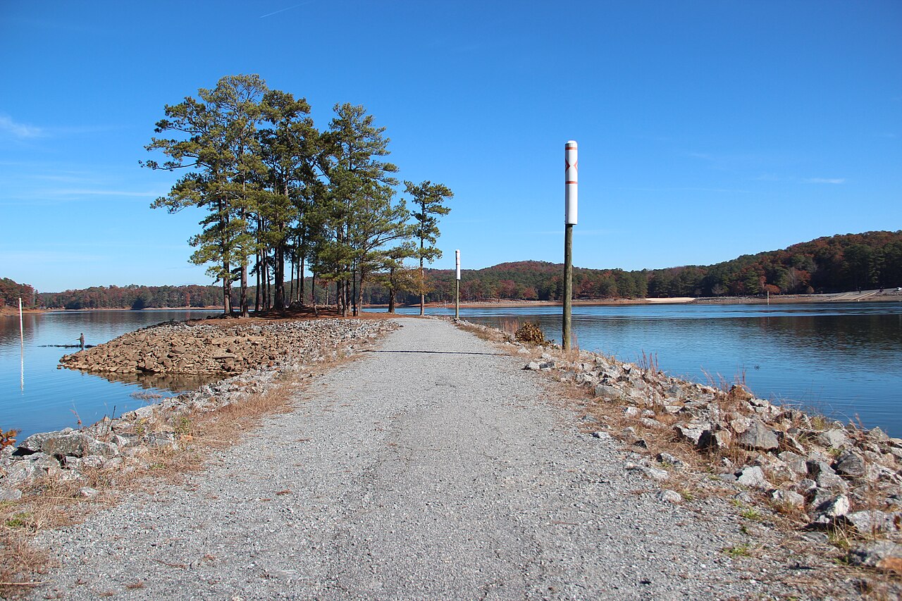
Route surroundings · Jetty on Lake Allatoona Nov 2019.jpg — Thomson200 — CC0 (http://creativecommons.org/publicdomain/zero/1.0/deed.en) — https://commons.wikimedia.org/wiki/File:Jetty_on_Lake_Allatoona_Nov_2019.jpg

Thomson200
CC0
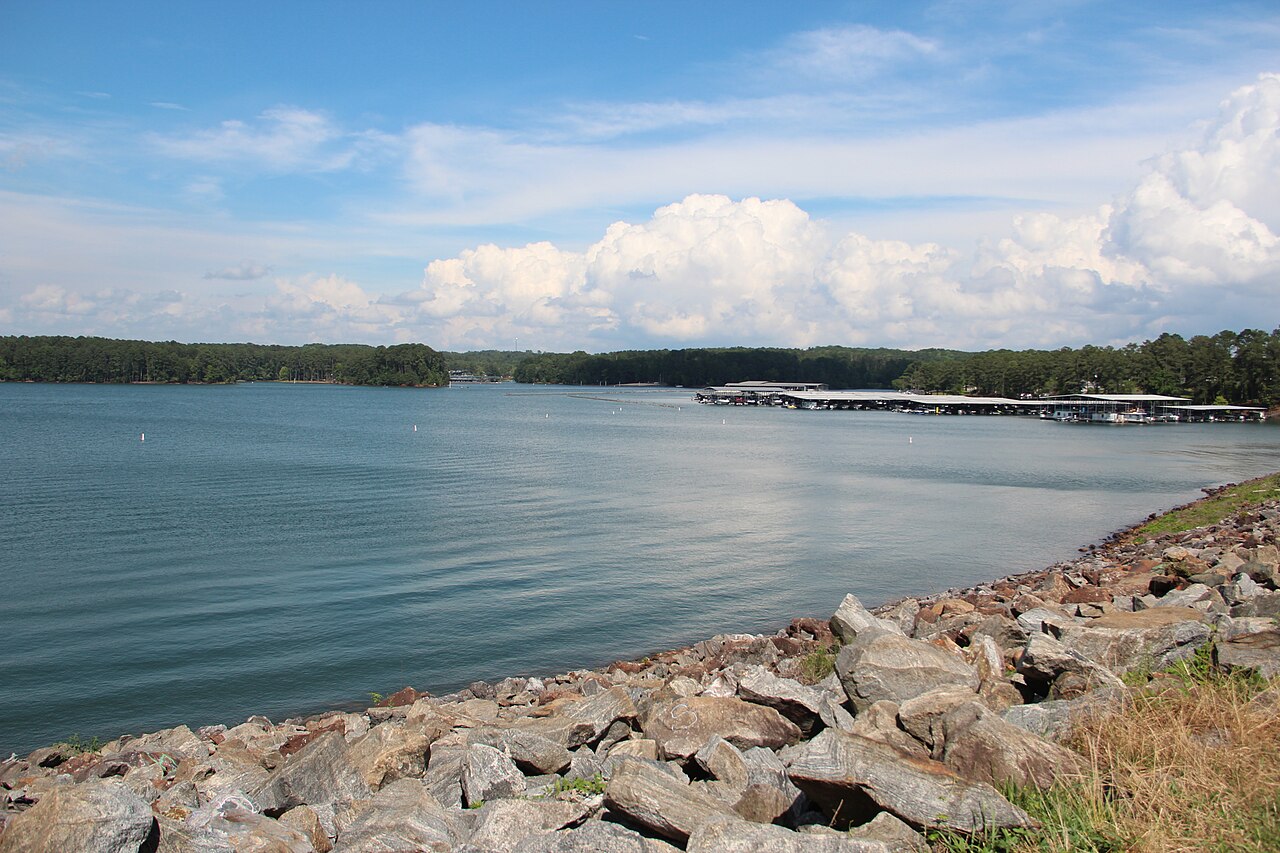
Route surroundings · Lake Allatoona, June 2023.jpg — Thomson200 — CC0 (http://creativecommons.org/publicdomain/zero/1.0/deed.en) — https://commons.wikimedia.org/wiki/File:Lake_Allatoona,_June_2023.jpg

Thomson200
CC0
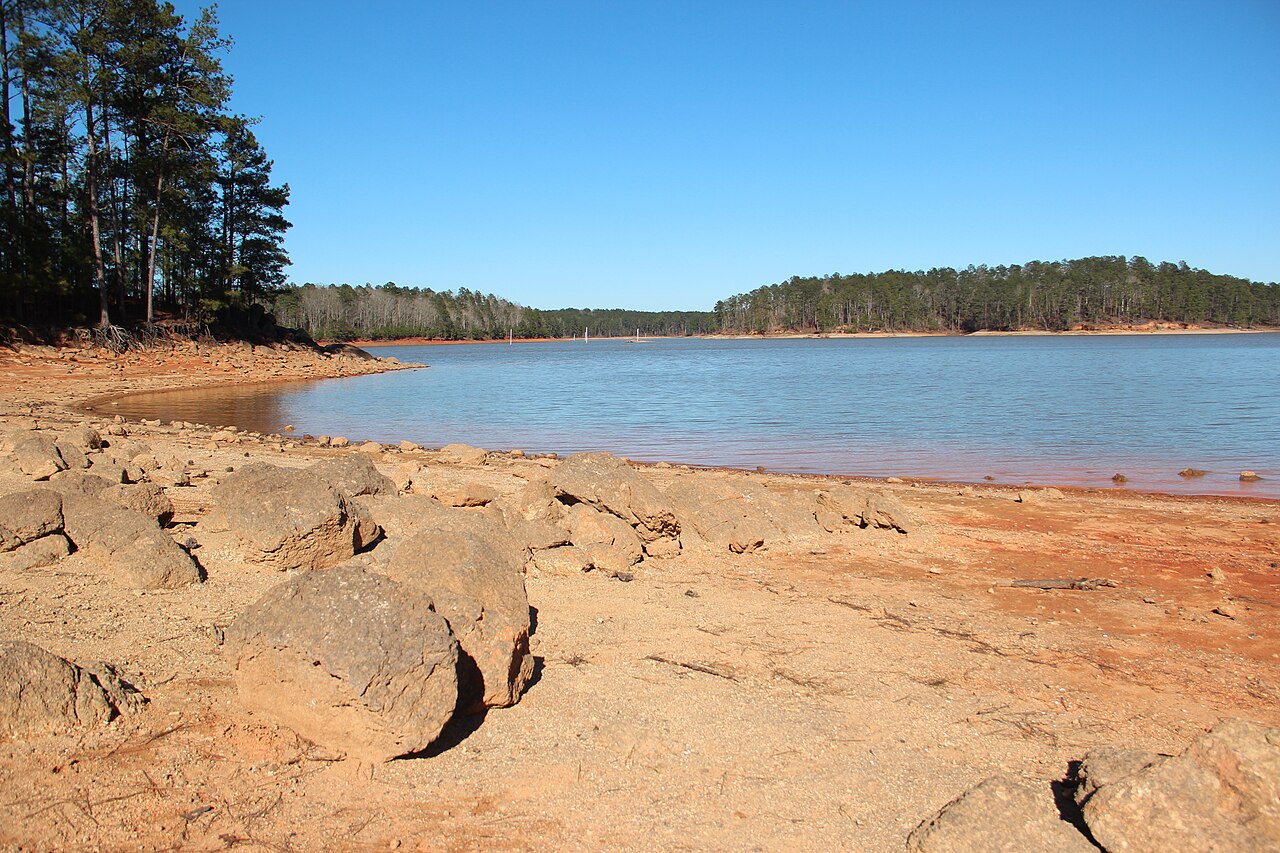
Route surroundings · Lake Allatoona, Red Top Mountain State Park, March 2018 1.jpg — Thomson200 — CC0 (http://creativecommons.org/publicdomain/zero/1.0/deed.en) — https://commons.wikimedia.org/wiki/File:Lake_Allatoona,_Red_Top_Mountain_State_Park,_March_2018_1.jpg

Thomson200
CC0
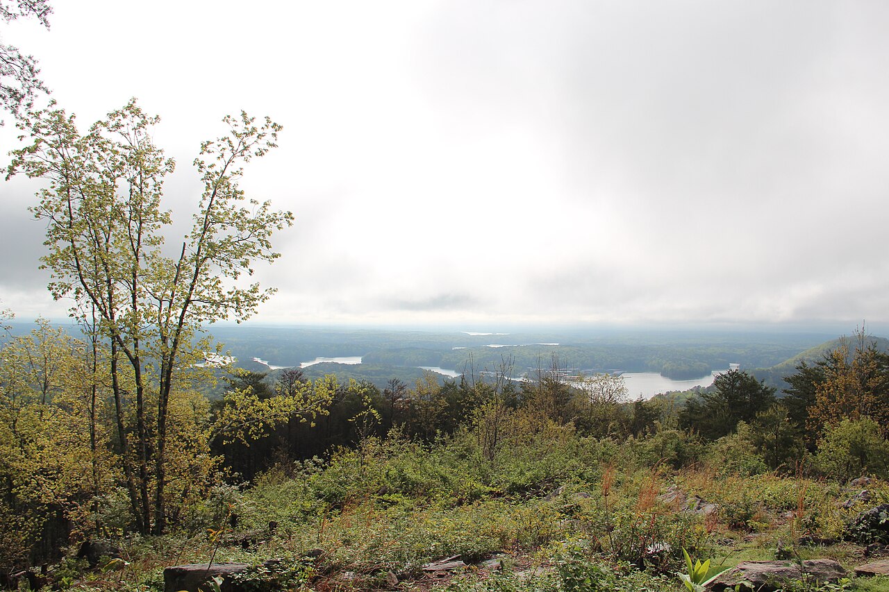
Route surroundings · Lake Allatoona - panoramio.jpg — Thomson M — CC BY 3.0 (https://creativecommons.org/licenses/by/3.0) — https://commons.wikimedia.org/wiki/File:Lake_Allatoona_-_panoramio.jpg

Thomson M
CC BY 3.0
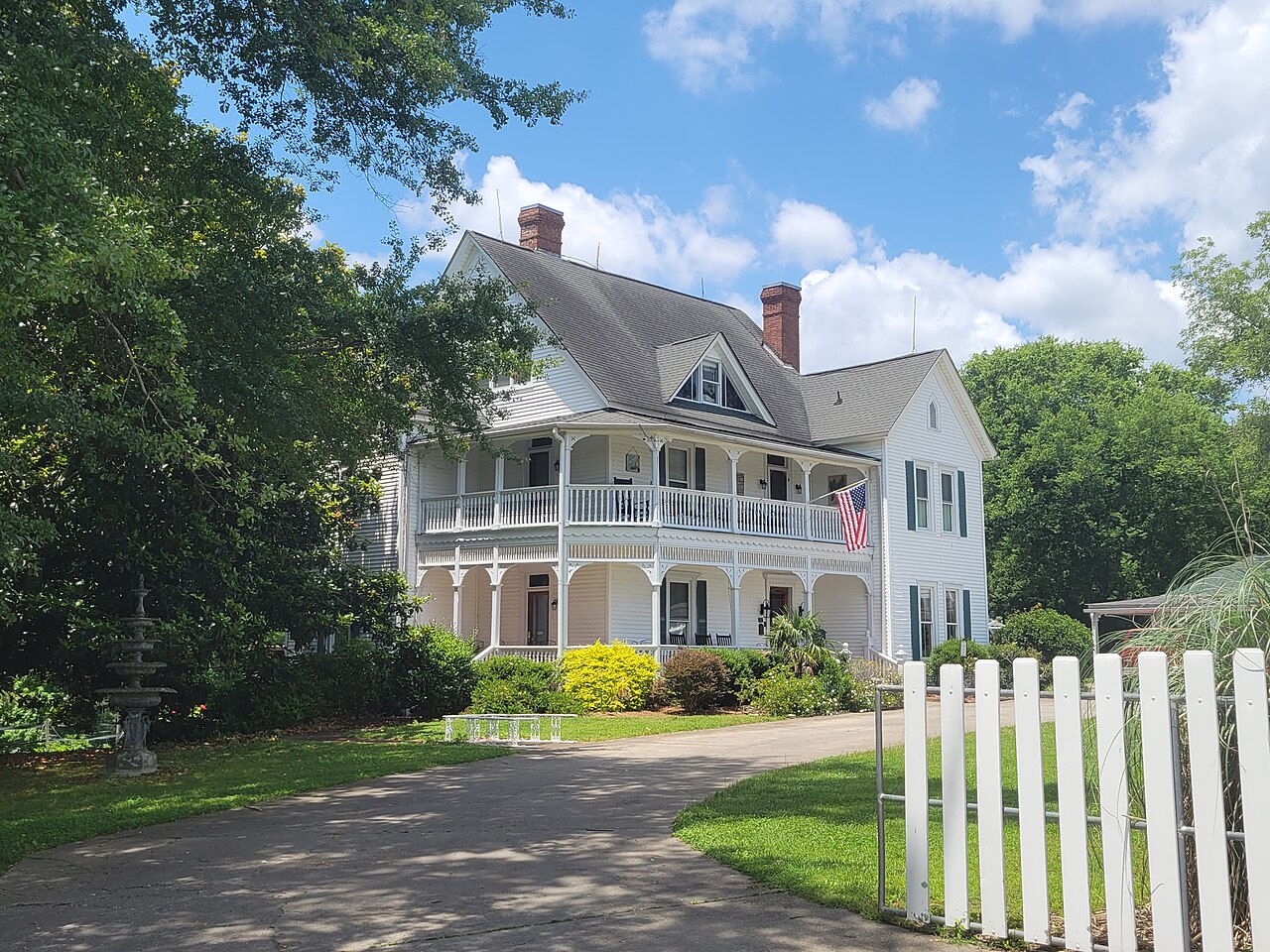
Route surroundings · Lake Allatoona Inn, Allatoona GA.jpg — John Phelan — CC BY 4.0 (https://creativecommons.org/licenses/by/4.0) — https://commons.wikimedia.org/wiki/File:Lake_Allatoona_Inn,_Allatoona_GA.jpg

John Phelan
CC BY 4.0
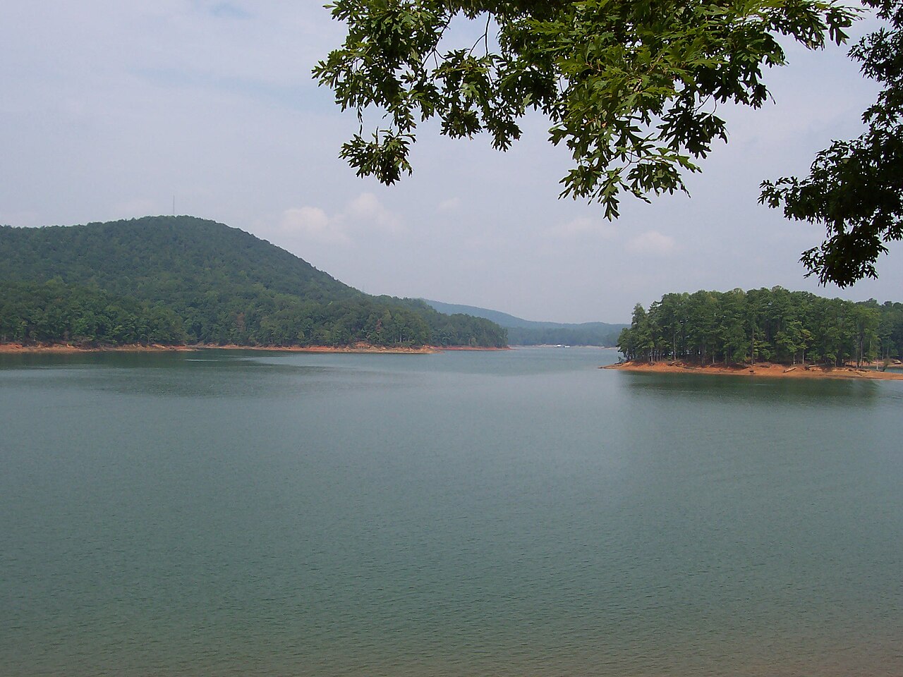
Route surroundings · Lake Allatoona Viewed from Red Top Mountain State Park, 2007 (Photo by HowardSF).jpg — HowardSF at English Wikipedia — CC BY-SA 3.0 (http://creativecommons.org/licenses/by-sa/3.0/) — https://commons.wikimedia.org/wiki/File:Lake_Allatoona_Viewed_from_Red_Top_Mountain_State_Park,_2007_(Photo_by_HowardSF).jpg

HowardSF at English Wikipedia
CC BY-SA 3.0
View original activity in YouVisible
Weather on your route
Loading forecast…
Sources and credits
© OpenStreetMap contributors · ODbL 1.0 · https://www.openstreetmap.org/copyright · https://opendatacommons.org/licenses/odbl/1-0/
OpenStreetMap contributors · Complete mapped route sections · ODbL 1.0
Route photograph
Route surroundings · Jetty on Lake Allatoona Nov 2019.jpg — Thomson200 — CC0 (http://creativecommons.org/publicdomain/zero/1.0/deed.en) — https://commons.wikimedia.org/wiki/File:Jetty_on_Lake_Allatoona_Nov_2019.jpg
Thomson200 · CC0 · Media source
Route photograph
Route surroundings · Lake Allatoona, June 2023.jpg — Thomson200 — CC0 (http://creativecommons.org/publicdomain/zero/1.0/deed.en) — https://commons.wikimedia.org/wiki/File:Lake_Allatoona,_June_2023.jpg
Thomson200 · CC0 · Media source
Route photograph
Route surroundings · Lake Allatoona, Red Top Mountain State Park, March 2018 1.jpg — Thomson200 — CC0 (http://creativecommons.org/publicdomain/zero/1.0/deed.en) — https://commons.wikimedia.org/wiki/File:Lake_Allatoona,_Red_Top_Mountain_State_Park,_March_2018_1.jpg
Thomson200 · CC0 · Media source
Route photograph
Route surroundings · Lake Allatoona - panoramio.jpg — Thomson M — CC BY 3.0 (https://creativecommons.org/licenses/by/3.0) — https://commons.wikimedia.org/wiki/File:Lake_Allatoona_-_panoramio.jpg
Thomson M · CC BY 3.0 · Media source
Route photograph
Route surroundings · Lake Allatoona Inn, Allatoona GA.jpg — John Phelan — CC BY 4.0 (https://creativecommons.org/licenses/by/4.0) — https://commons.wikimedia.org/wiki/File:Lake_Allatoona_Inn,_Allatoona_GA.jpg
John Phelan · CC BY 4.0 · Media source
Route photograph
Route surroundings · Lake Allatoona Viewed from Red Top Mountain State Park, 2007 (Photo by HowardSF).jpg — HowardSF at English Wikipedia — CC BY-SA 3.0 (http://creativecommons.org/licenses/by-sa/3.0/) — https://commons.wikimedia.org/wiki/File:Lake_Allatoona_Viewed_from_Red_Top_Mountain_State_Park,_2007_(Photo_by_HowardSF).jpg
HowardSF at English Wikipedia · CC BY-SA 3.0 · Media source