Find your next route
Explore hiking, running, trail running and cycling routes that suit your plans.

Community route
Muir Woods · Through Bohemian Grove’s redwoods
Walk the official Bohemian Grove Trail through Muir Woods’ redwood forest. The walk runs from the southern junction to the northern junction. It is a linear woodland trail, rather than a complete visitor-centre loop; its connecting approaches and return are not included. Creek-side woodland, ferns and tall trees are the setting. The six historical photographs are individually identified as Muir Woods; their camera positions are not inferred, and they add no extra paths.
By YouVisible Sport
Mapa del recorrido
Activity measurements
- distance meters
- 662.379575377
- end · latitude
- 37.8977657
- end · longitude
- -122.5752356
- start · latitude
- 37.8933238
- start · longitude
- -122.5732192
- Sport
- hiking mountaineering
- Specialty
- Hiking
From start to finish
- Country
- United States
- Province / region
- —
- Localities
- Mill Valley
Before you go
- How to reach the start
- —
- Parking and access
- NPS requires parking or shuttle reservations for visits to Muir Woods and warns that there is no mobile-phone service on site. Carry reservation information offline. The park’s alert about Bridge 2/Redwood Creek work dated 19–22 October 2026 explicitly named Bohemian Grove Trail as the available detour; those work dates have passed. This is not a field confirmation of opening today. Ask staff for current conditions and follow posted closures. The reference starts inside the monument, not at a parking bay.
- Advice
- Stay on designated trails, protect the understorey and check current NPS notices. Do not transfer distance or time estimates from the separate Bridge 2, 3 or 4 visitor-centre loops. Arrange your permitted approach and return.
- Recommended equipment
- NPS recommends a hiking map, adequate water, snacks, suitable footwear and warm or waterproof layers.
- Terrain
- —
- Signage
- —
Characteristics and difficulty
- Estimated duration
- —
- Author perceived effort
- —
- Physical difficulty
- —
- Technical difficulty
- —
About the route
Walk the official Bohemian Grove Trail through Muir Woods’ redwood forest. The walk runs from the southern junction to the northern junction. It is a linear woodland trail, rather than a complete visitor-centre loop; its connecting approaches and return are not included. Creek-side woodland, ferns and tall trees are the setting. The six historical photographs are individually identified as Muir Woods; their camera positions are not inferred, and they add no extra paths.
- Context
- —
- Specialty
- Hiking
- Event type
- —
- Description
- Six individually licensed historical photographs of the route’s setting. Context images add no access, detour or exact camera position.
- Title
- Route highlights
- Title
- Sesión
- Description
- Walk the official Bohemian Grove Trail through Muir Woods’ redwood forest. The walk runs from the southern junction to the northern junction. It is a linear woodland trail, rather than a complete visitor-centre loop; its connecting approaches and return are not included. Creek-side woodland, ferns and tall trees are the setting. The six historical photographs are individually identified as Muir Woods; their camera positions are not inferred, and they add no extra paths.
- Description
- A vertical woodland view in Muir Woods, as identified by the photographer.
- Title
- Looking into the redwood canopy
- Description
- Tall redwoods photographed on film in Muir Woods; the monochrome original is retained.
- Title
- Redwoods on film
- Description
- A bridge and creek in Muir Woods, shown as woodland context without adding a crossing to the reference.
- Title
- A bridge above the creek
- Description
- Ferns, trees and a narrow woodland path, individually identified as Muir Woods.
- Title
- Ferns beside a narrow path
- Description
- A vertical view of woodland, railing and a fallen trunk in Muir Woods.
- Title
- Redwoods above the railing
- Description
- A moss-covered branch, woodland and creek at Muir Woods.
- Title
- Moss over the creek
- Description
- A vertical woodland view in Muir Woods, as identified by the photographer.
- Title
- Looking into the redwood canopy
- Description
- Tall redwoods photographed on film in Muir Woods; the monochrome original is retained.
- Title
- Redwoods on film
- Description
- A bridge and creek in Muir Woods, shown as woodland context without adding a crossing to the reference.
- Title
- A bridge above the creek
- Description
- Ferns, trees and a narrow woodland path, individually identified as Muir Woods.
- Title
- Ferns beside a narrow path
- Description
- A vertical view of woodland, railing and a fallen trunk in Muir Woods.
- Title
- Redwoods above the railing
- Description
- A moss-covered branch, woodland and creek at Muir Woods.
- Title
- Moss over the creek
- Advice
- Stay on designated trails, protect the understorey and check current NPS notices. Do not transfer distance or time estimates from the separate Bridge 2, 3 or 4 visitor-centre loops. Arrange your permitted approach and return.
- Parking and access
- NPS requires parking or shuttle reservations for visits to Muir Woods and warns that there is no mobile-phone service on site. Carry reservation information offline. The park’s alert about Bridge 2/Redwood Creek work dated 19–22 October 2026 explicitly named Bohemian Grove Trail as the available detour; those work dates have passed. This is not a field confirmation of opening today. Ask staff for current conditions and follow posted closures. The reference starts inside the monument, not at a parking bay.
- Recommended equipment
- NPS recommends a hiking map, adequate water, snacks, suitable footwear and warm or waterproof layers.
- Title
- Muir Woods · Through Bohemian Grove’s redwoods
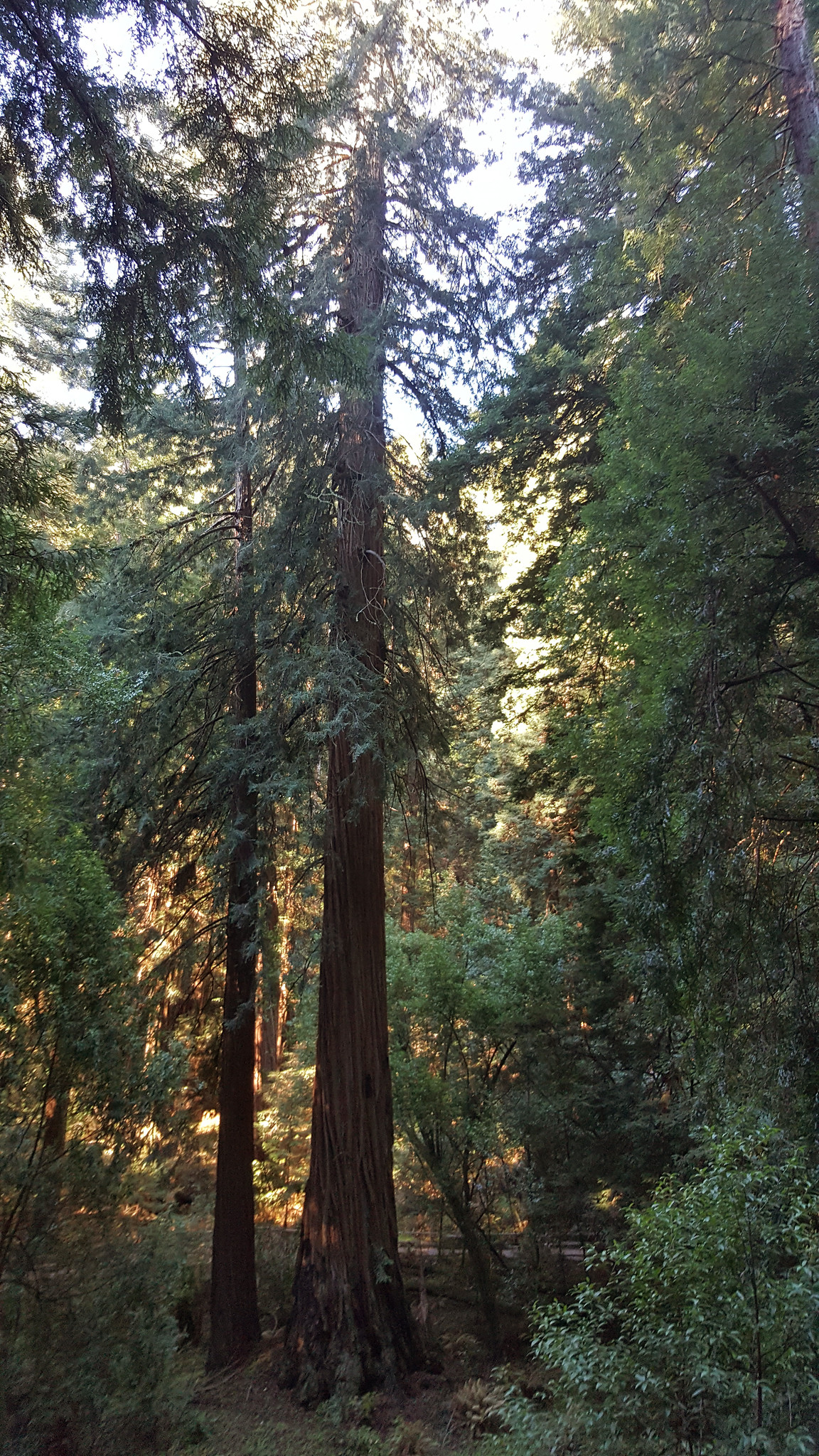
Muir Woods — Quinn Daedal — CC BY-SA 2.0 — https://www.flickr.com/photos/53326337@N00/24790397781/
Quinn Daedal
CC BY-SA 2.0
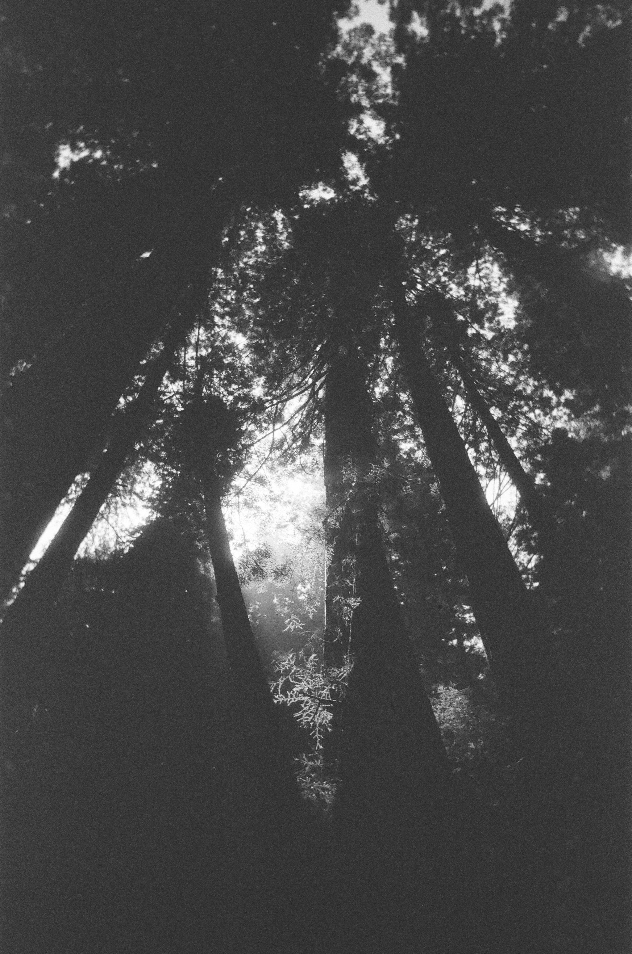
Muir Woods on film — Kevin Dooley — CC BY 2.0 — https://www.flickr.com/photos/12836528@N00/53929551368/
Kevin Dooley
CC BY 2.0
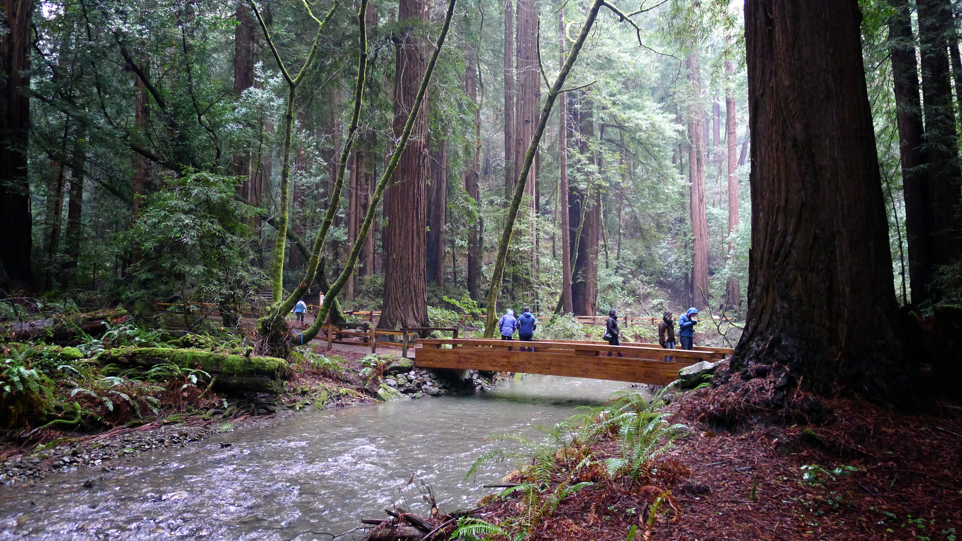
Muir Woods — Stephen Kennedy — CC BY 2.0 — https://www.flickr.com/photos/7752378@N03/5406894398/
Stephen Kennedy
CC BY 2.0
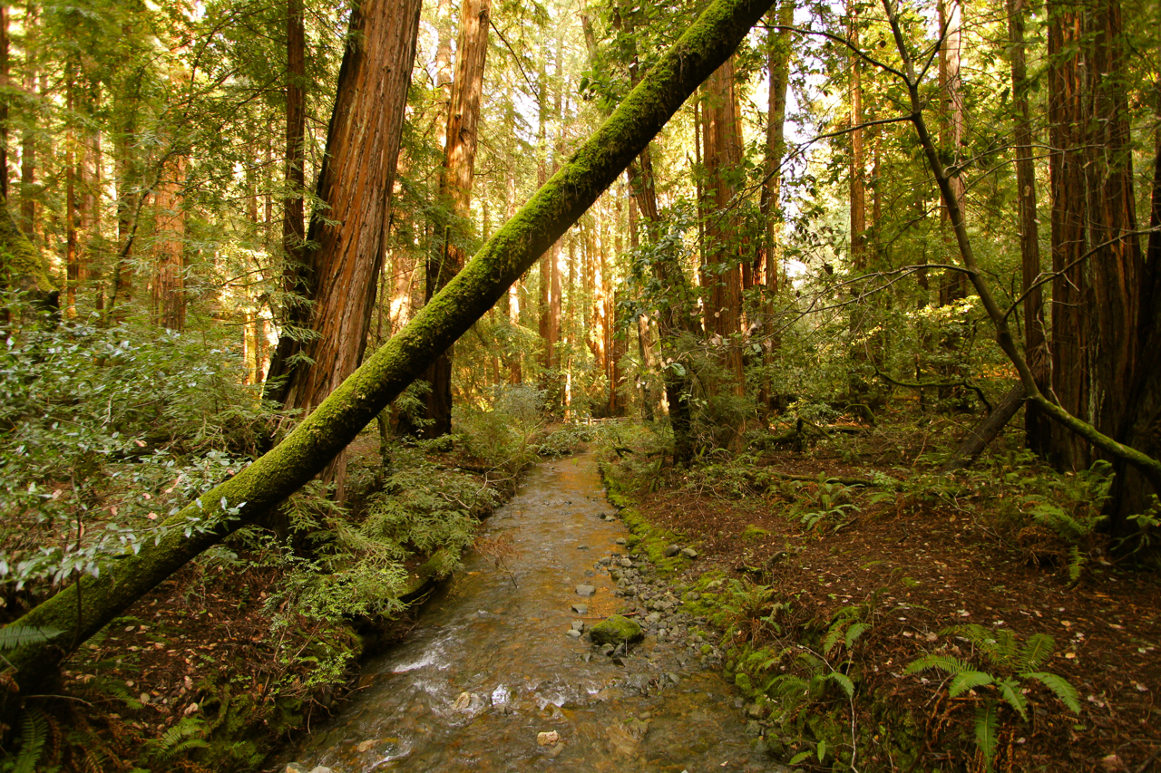
Muir Woods — Jason Toff — CC BY 2.0 — https://www.flickr.com/photos/8814183@N03/5525591396/
Jason Toff
CC BY 2.0
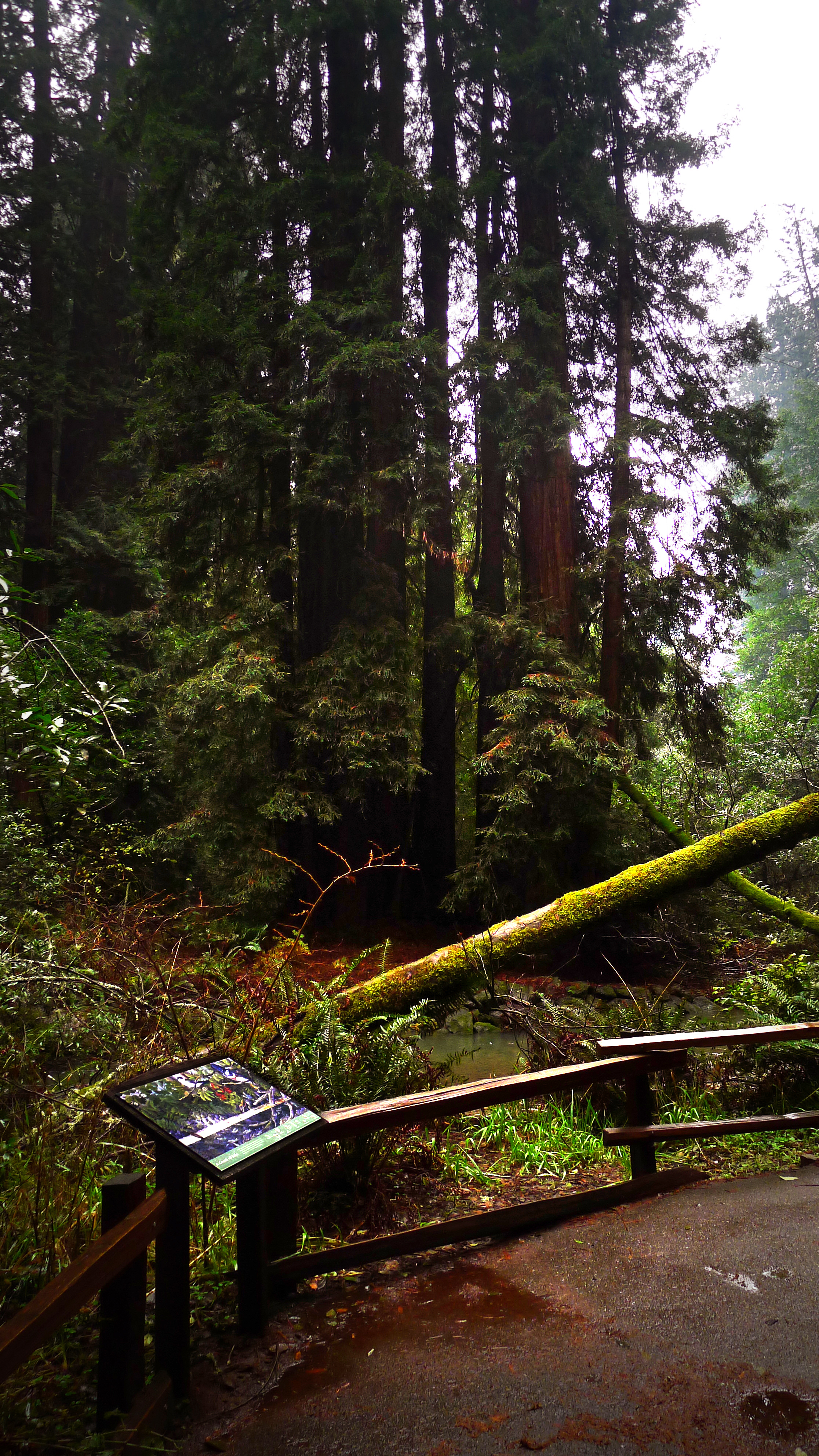
Muir Woods — Stephen Kennedy — CC BY 2.0 — https://www.flickr.com/photos/7752378@N03/5406897574/
Stephen Kennedy
CC BY 2.0
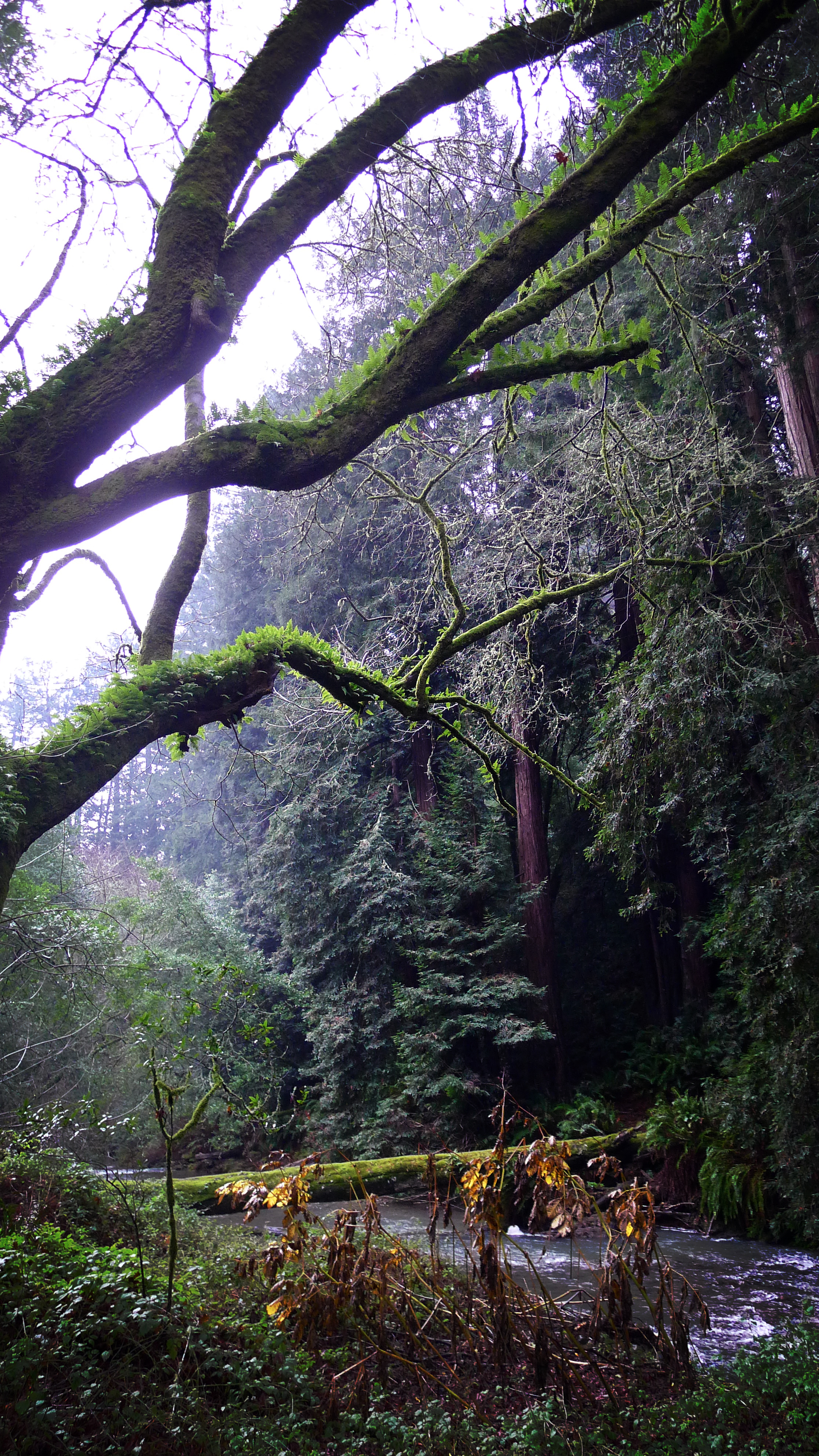
Muir Woods — Stephen Kennedy — CC BY 2.0 — https://www.flickr.com/photos/7752378@N03/5406891090/
Stephen Kennedy
CC BY 2.0
View original activity in YouVisible
Weather on your route
Loading forecast…
Sources and credits
National Park Service public trail geometry, Muir Woods National Monument. No claim to original U.S. Government works. Whole original paths retained in the documented contiguous walking order.
National Park Service · NPS_Public_Trails · Public domain
Looking into the redwood canopy
Muir Woods — Quinn Daedal — CC BY-SA 2.0 — https://www.flickr.com/photos/53326337@N00/24790397781/
Quinn Daedal · CC BY-SA 2.0 · Media source
Redwoods on film
Muir Woods on film — Kevin Dooley — CC BY 2.0 — https://www.flickr.com/photos/12836528@N00/53929551368/
Kevin Dooley · CC BY 2.0 · Media source
A bridge above the creek
Muir Woods — Stephen Kennedy — CC BY 2.0 — https://www.flickr.com/photos/7752378@N03/5406894398/
Stephen Kennedy · CC BY 2.0 · Media source
Ferns beside a narrow path
Muir Woods — Jason Toff — CC BY 2.0 — https://www.flickr.com/photos/8814183@N03/5525591396/
Jason Toff · CC BY 2.0 · Media source
Redwoods above the railing
Muir Woods — Stephen Kennedy — CC BY 2.0 — https://www.flickr.com/photos/7752378@N03/5406897574/
Stephen Kennedy · CC BY 2.0 · Media source
Moss over the creek
Muir Woods — Stephen Kennedy — CC BY 2.0 — https://www.flickr.com/photos/7752378@N03/5406891090/
Stephen Kennedy · CC BY 2.0 · Media source