Find your next route
Explore hiking, running, trail running and cycling routes that suit your plans.

Community route
Lower Yosemite Fall · A clockwise loop through the forest
Follow the main paved Lower Yosemite Fall loop clockwise from its original southern junction. The walk crosses the footbridge near the waterfall; restroom spurs and parallel alternatives are outside this loop. The walk combines forest, Yosemite Creek and changing views of the falls. Its two endpoint fields record the original departure and return separately, at the same coordinate. Water levels vary markedly: historic waterfall photographs do not promise flowing water for a visit.
By YouVisible Sport
Mapa del recorrido
Activity measurements
- distance meters
- 1,585.4340158735
- end · latitude
- 37.7460367
- end · longitude
- -119.5956562
- estimated duration seconds
- 1,800
- start · latitude
- 37.7460367
- start · longitude
- -119.5956562
- Sport
- hiking mountaineering
- Specialty
- Hiking
From start to finish
- Country
- United States
- Province / region
- —
- Localities
- Yosemite Valley
Before you go
- How to reach the start
- —
- Parking and access
- NPS identifies the Lower Yosemite Fall trailhead and shuttle stop 6. There is no trailhead parking; NPS directs drivers to Yosemite Village or Yosemite Falls parking areas. General year-round access is published, with possible winter ice and snow. Park alerts include temporary snow closures on Tioga and Glacier Point roads from 29 October 2026; those roads are separate from this valley loop and do not confirm either closure or full opening of the loop today. Check live conditions and posted instructions.
- Advice
- Stay on the paved trail. NPS warns that rocks above the footbridge can be slippery even when dry and that leaving the trail has caused serious injuries. Do not climb onto waterfall rocks, feed wildlife or infer an animal sighting from a historical photo. Bicycles are prohibited on this loop.
- Recommended equipment
- —
- Terrain
- Paved trail with a wooden footbridge, as described by NPS.
- Signage
- —
Characteristics and difficulty
- Estimated duration
- 30 min
- Author perceived effort
- —
- Physical difficulty
- —
- Technical difficulty
- —
About the route
Follow the main paved Lower Yosemite Fall loop clockwise from its original southern junction. The walk crosses the footbridge near the waterfall; restroom spurs and parallel alternatives are outside this loop. The walk combines forest, Yosemite Creek and changing views of the falls. Its two endpoint fields record the original departure and return separately, at the same coordinate. Water levels vary markedly: historic waterfall photographs do not promise flowing water for a visit.
- Context
- —
- Specialty
- Hiking
- Event type
- —
- Description
- Six individually licensed historical photographs of the route’s setting. Context images add no access, detour or exact camera position.
- Title
- Route highlights
- Title
- Sesión
- Description
- Follow the main paved Lower Yosemite Fall loop clockwise from its original southern junction. The walk crosses the footbridge near the waterfall; restroom spurs and parallel alternatives are outside this loop. The walk combines forest, Yosemite Creek and changing views of the falls. Its two endpoint fields record the original departure and return separately, at the same coordinate. Water levels vary markedly: historic waterfall photographs do not promise flowing water for a visit.
- Description
- A vertical view along the Lower Yosemite Falls trail, with the falls beyond the forest.
- Title
- The paved approach beneath tall trees
- Description
- A vertical historical view of the creek and rocky woodland beside the Lower Yosemite Falls trail.
- Title
- The creek through the woodland
- Description
- A vertical historical waterfall photograph. Water conditions vary; no access to pools or rocks is granted.
- Title
- The lower waterfall in flow
- Description
- Cliff and boulder scenery photographed on the Lower Yosemite Falls trail; the original CC BY-ND image is unchanged.
- Title
- Rock walls in a drier season
- Description
- Trees and ferns beside the Lower Yosemite Falls trail, as identified by the photographer.
- Title
- Ferns in the forest
- Description
- Two deer photographed beside the Lower Yosemite Falls trail. Keep wildlife wild; no sighting is promised.
- Title
- Deer beside the trail
- Description
- A vertical view along the Lower Yosemite Falls trail, with the falls beyond the forest.
- Title
- The paved approach beneath tall trees
- Description
- A vertical historical view of the creek and rocky woodland beside the Lower Yosemite Falls trail.
- Title
- The creek through the woodland
- Description
- A vertical historical waterfall photograph. Water conditions vary; no access to pools or rocks is granted.
- Title
- The lower waterfall in flow
- Description
- Cliff and boulder scenery photographed on the Lower Yosemite Falls trail; the original CC BY-ND image is unchanged.
- Title
- Rock walls in a drier season
- Description
- Trees and ferns beside the Lower Yosemite Falls trail, as identified by the photographer.
- Title
- Ferns in the forest
- Description
- Two deer photographed beside the Lower Yosemite Falls trail. Keep wildlife wild; no sighting is promised.
- Title
- Deer beside the trail
- Advice
- Stay on the paved trail. NPS warns that rocks above the footbridge can be slippery even when dry and that leaving the trail has caused serious injuries. Do not climb onto waterfall rocks, feed wildlife or infer an animal sighting from a historical photo. Bicycles are prohibited on this loop.
- Parking and access
- NPS identifies the Lower Yosemite Fall trailhead and shuttle stop 6. There is no trailhead parking; NPS directs drivers to Yosemite Village or Yosemite Falls parking areas. General year-round access is published, with possible winter ice and snow. Park alerts include temporary snow closures on Tioga and Glacier Point roads from 29 October 2026; those roads are separate from this valley loop and do not confirm either closure or full opening of the loop today. Check live conditions and posted instructions.
- Terrain
- Paved trail with a wooden footbridge, as described by NPS.
- Title
- Lower Yosemite Fall · A clockwise loop through the forest
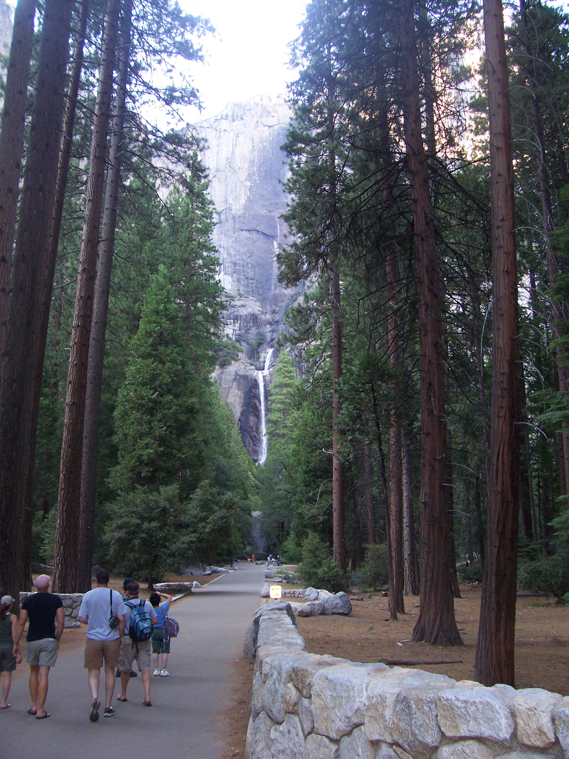
Lower Yosemite Falls Trail — Peter & Joyce Grace — CC BY 2.0 — https://www.flickr.com/photos/59518841@N00/2686185249/
Peter & Joyce Grace
CC BY 2.0
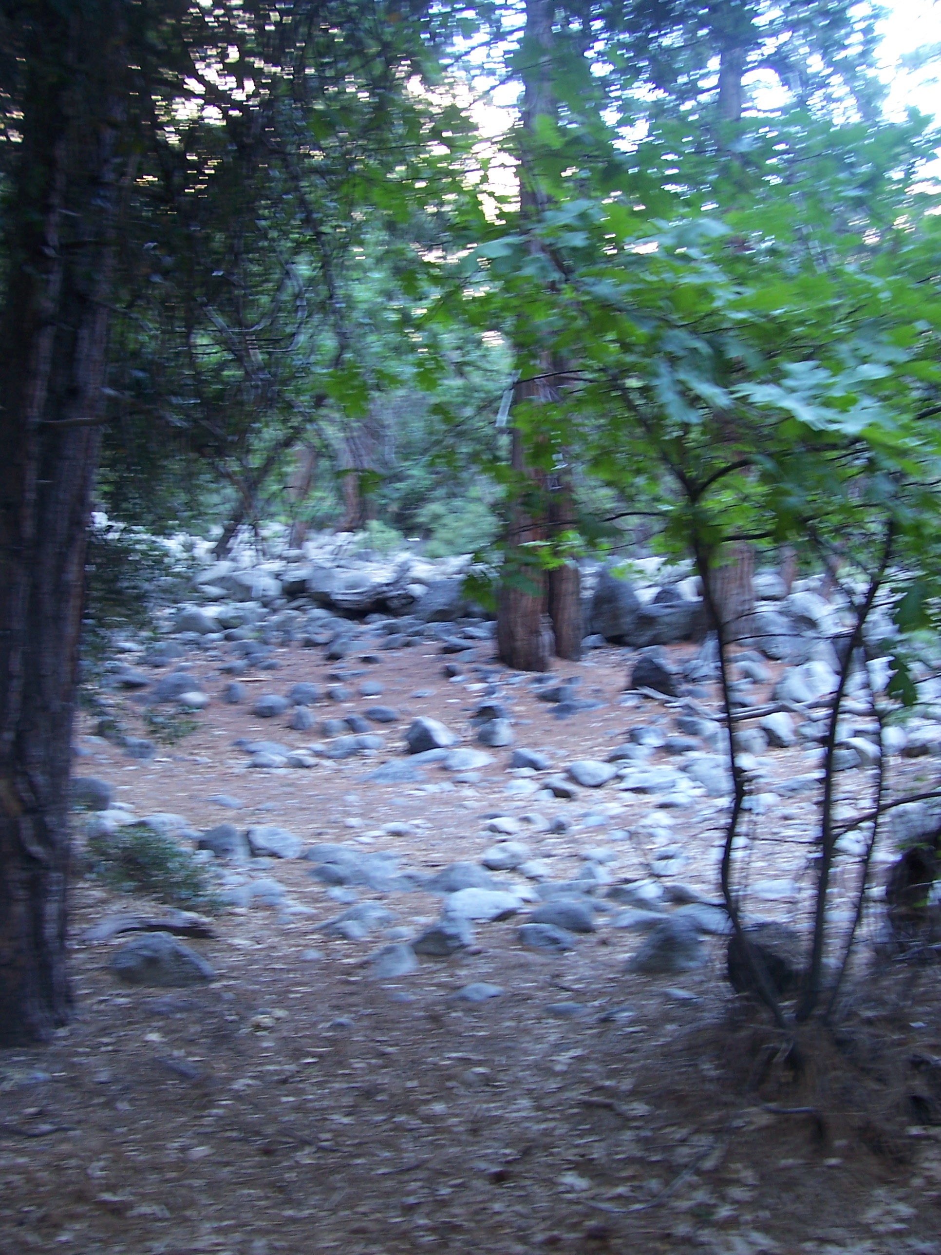
Lower Yosemite Falls Trail — Peter & Joyce Grace — CC BY 2.0 — https://www.flickr.com/photos/59518841@N00/2687010534/
Peter & Joyce Grace
CC BY 2.0
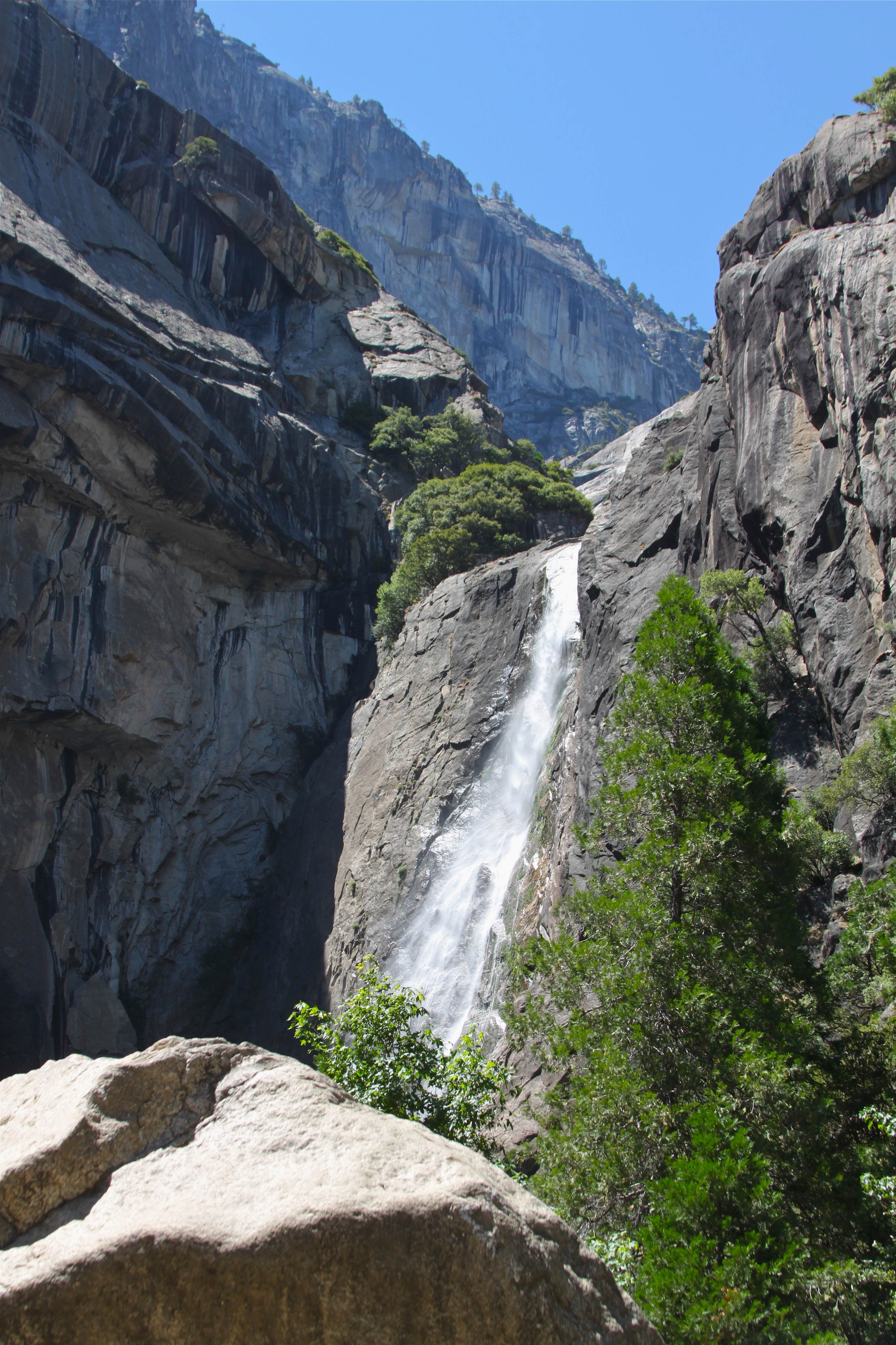
Lower Yosemite Falls — Roy Luck — CC BY 2.0 — https://www.flickr.com/photos/21550937@N03/7805782058/
Roy Luck
CC BY 2.0
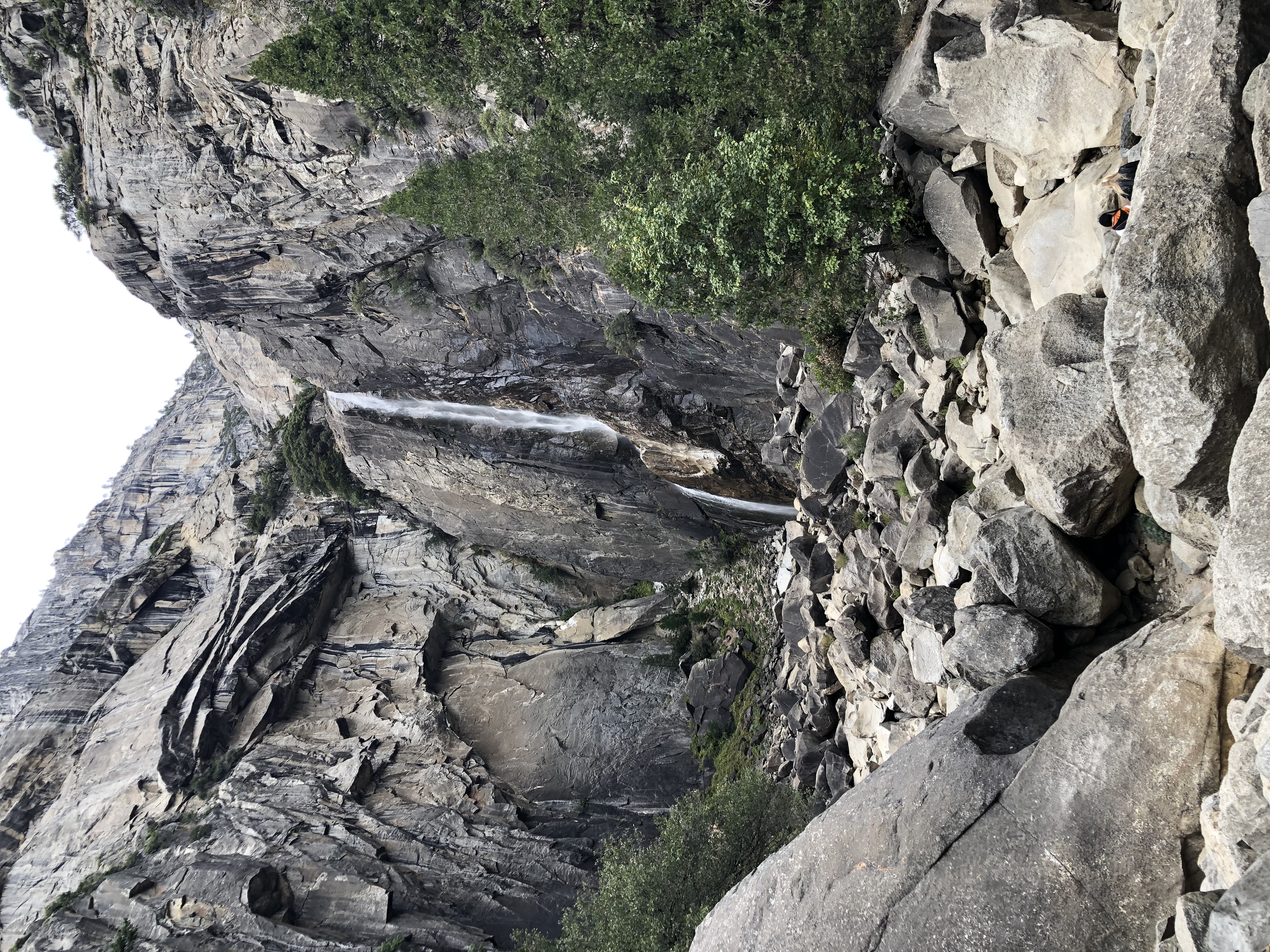
Yosemite, on Lower Yosemite Falls Trail — A. C. K. — CC BY-ND 2.0 — https://www.flickr.com/photos/33134912@N00/53334030472/
A. C. K.
CC BY-ND 2.0
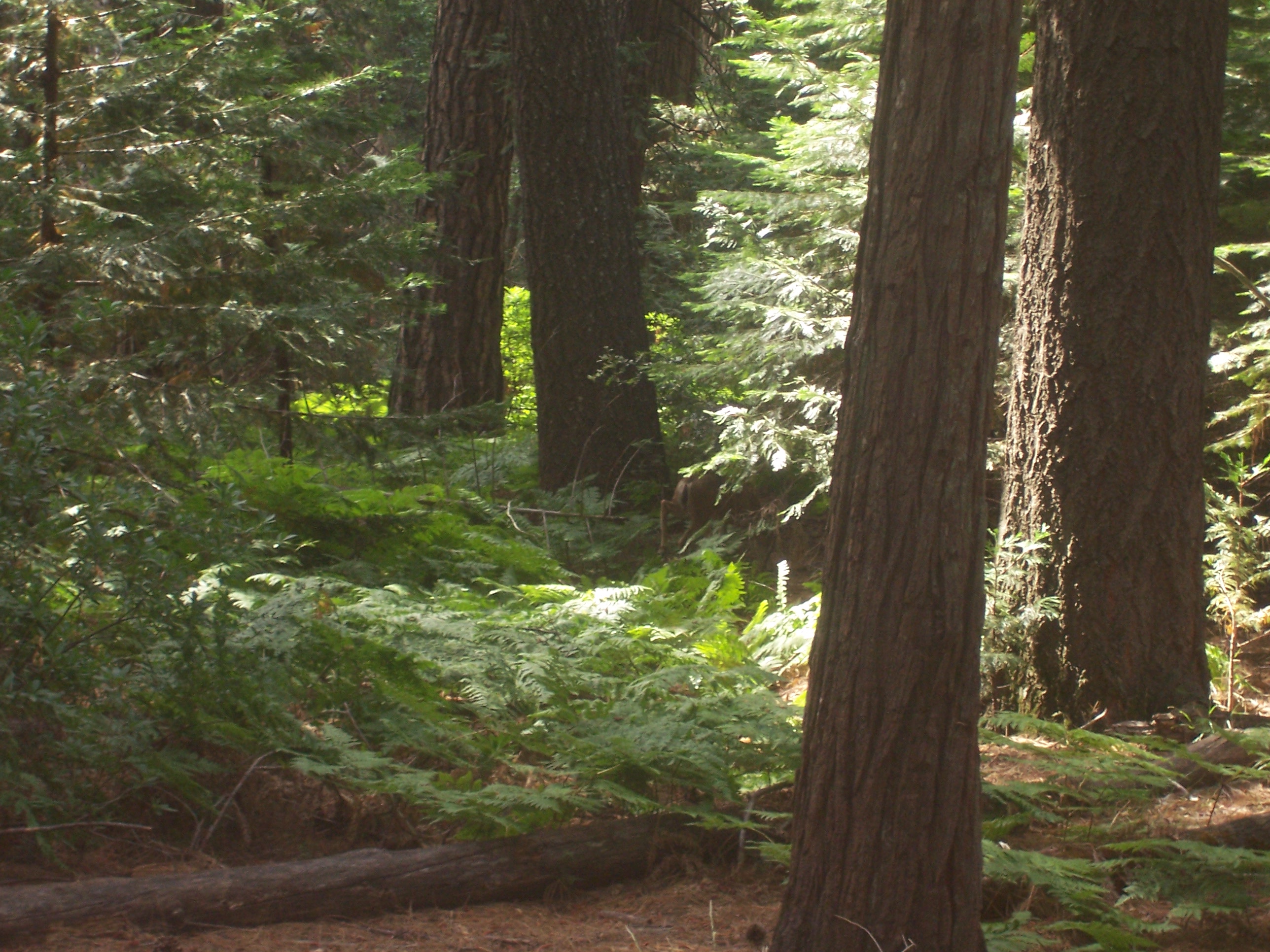
Photo from the Lower Yosemite Falls Trails — Peter & Joyce Grace — CC BY 2.0 — https://www.flickr.com/photos/59518841@N00/2686715864/
Peter & Joyce Grace
CC BY 2.0
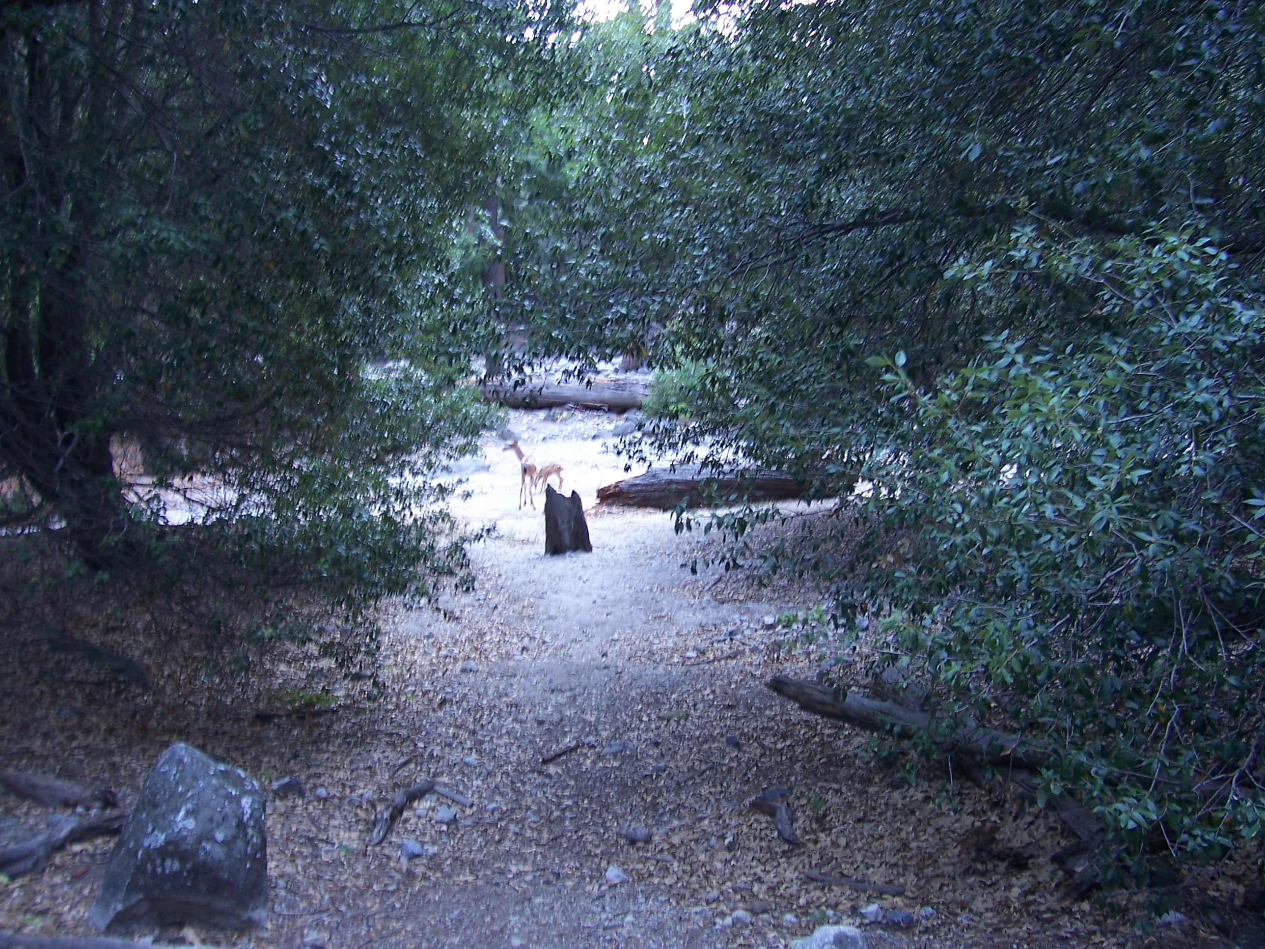
Two Deer at Lower Yosemite Falls Trail — Peter & Joyce Grace — CC BY 2.0 — https://www.flickr.com/photos/59518841@N00/2687017692/
Peter & Joyce Grace
CC BY 2.0
View original activity in YouVisible
Weather on your route
Loading forecast…
Sources and credits
National Park Service public trail geometry, Yosemite National Park. No claim to original U.S. Government works. Whole original paths retained in the documented contiguous walking order.
National Park Service · NPS_Public_Trails · Public domain
The paved approach beneath tall trees
Lower Yosemite Falls Trail — Peter & Joyce Grace — CC BY 2.0 — https://www.flickr.com/photos/59518841@N00/2686185249/
Peter & Joyce Grace · CC BY 2.0 · Media source
The creek through the woodland
Lower Yosemite Falls Trail — Peter & Joyce Grace — CC BY 2.0 — https://www.flickr.com/photos/59518841@N00/2687010534/
Peter & Joyce Grace · CC BY 2.0 · Media source
The lower waterfall in flow
Lower Yosemite Falls — Roy Luck — CC BY 2.0 — https://www.flickr.com/photos/21550937@N03/7805782058/
Roy Luck · CC BY 2.0 · Media source
Rock walls in a drier season
Yosemite, on Lower Yosemite Falls Trail — A. C. K. — CC BY-ND 2.0 — https://www.flickr.com/photos/33134912@N00/53334030472/
A. C. K. · CC BY-ND 2.0 · Media source
Ferns in the forest
Photo from the Lower Yosemite Falls Trails — Peter & Joyce Grace — CC BY 2.0 — https://www.flickr.com/photos/59518841@N00/2686715864/
Peter & Joyce Grace · CC BY 2.0 · Media source
Deer beside the trail
Two Deer at Lower Yosemite Falls Trail — Peter & Joyce Grace — CC BY 2.0 — https://www.flickr.com/photos/59518841@N00/2687017692/
Peter & Joyce Grace · CC BY 2.0 · Media source