Find your next route
Explore hiking, running, trail running and cycling routes that suit your plans.

Community route
Leghowney Loop · countryside near Donegal Town
The official waymarked walking loop from Leghowney Hall car park, near Donegal Town in County Donegal. Every native XY vertex of Sport Ireland’s complete licensed loop is preserved. Elevation and accumulated ascent/descent are unknown. The six orientation photographs show heritage, streets, river and estuary in Donegal Town, the nearest town explicitly named for this route by Sport Ireland. These off-track surroundings do not depict Leghowney Hall or imply that the town landmarks are on or visible from the rural loop.
By YouVisible Sport
Mapa del recorrido
Activity measurements
- distance meters
- 6,970.2156506749
- end · latitude
- 54.6561682
- end · longitude
- -8.0210263
- estimated duration seconds
- 7,200
- start · latitude
- 54.6561682
- start · longitude
- -8.0210263
- Sport
- walking
- Specialty
- walking outdoor
From start to finish
- Country
- Ireland
- Province / region
- —
- Localities
- —
Before you go
- How to reach the start
- —
- Parking and access
- Sport Ireland names Leghowney Hall car park as the start and finish; check current access locally.
- Advice
- YouVisible Guide only. Garmin export is unavailable because the original supplies no reliable elevation data or accumulated ascent and descent. The duration is the official provider’s estimate for this named trail, not a default or a recorded activity time. Check current access, weather and signs. The photographs are explicitly route surroundings; no on-track camera positions are asserted.
- Recommended equipment
- —
- Terrain
- —
- Signage
- Green arrow on white background, according to Sport Ireland.
Characteristics and difficulty
- Estimated duration
- 2 h
- Author perceived effort
- —
- Physical difficulty
- —
- Technical difficulty
- —
About the route
The official waymarked walking loop from Leghowney Hall car park, near Donegal Town in County Donegal. Every native XY vertex of Sport Ireland’s complete licensed loop is preserved. Elevation and accumulated ascent/descent are unknown. The six orientation photographs show heritage, streets, river and estuary in Donegal Town, the nearest town explicitly named for this route by Sport Ireland. These off-track surroundings do not depict Leghowney Hall or imply that the town landmarks are on or visible from the rural loop.
- Context
- —
- Specialty
- walking outdoor
- Event type
- —
- Description
- Donegal Town: off-track heritage, river and estuary in the nearest town named by Sport Ireland for Leghowney. Not photographs of the rural loop.
- Title
- Route surroundings
- Title
- Sesión
- Description
- The official waymarked walking loop from Leghowney Hall car park, near Donegal Town in County Donegal. Every native XY vertex of Sport Ireland’s complete licensed loop is preserved. Elevation and accumulated ascent/descent are unknown. The six orientation photographs show heritage, streets, river and estuary in Donegal Town, the nearest town explicitly named for this route by Sport Ireland. These off-track surroundings do not depict Leghowney Hall or imply that the town landmarks are on or visible from the rural loop.
- Description
- Route surroundings · Donegal Town · Water Street, Donegal Town. Off-track orientation in Donegal Town, the nearest town named for Leghowney by Sport Ireland; not a landmark on the rural loop.
- Title
- Route surroundings · Donegal Town · Water Street, Donegal Town
- Description
- Route surroundings · Donegal Town · Donegal Abbey 121912.JPG. Off-track orientation in Donegal Town, the nearest town named for Leghowney by Sport Ireland; not a landmark on the rural loop.
- Title
- Route surroundings · Donegal Town · Donegal Abbey 121912.JPG
- Description
- Route surroundings · Donegal Town · River Eske through Donegal Town.jpg. Off-track orientation in Donegal Town, the nearest town named for Leghowney by Sport Ireland; not a landmark on the rural loop.
- Title
- Route surroundings · Donegal Town · River Eske through Donegal Town.jpg
- Description
- Route surroundings · Donegal Town · Methodist Church on River Eske. Off-track orientation in Donegal Town, the nearest town named for Leghowney by Sport Ireland; not a landmark on the rural loop.
- Title
- Route surroundings · Donegal Town · Methodist Church on River Eske
- Description
- Route surroundings · Donegal Town · Eske Estuary - Donegal Bay. Off-track orientation in Donegal Town, the nearest town named for Leghowney by Sport Ireland; not a landmark on the rural loop.
- Title
- Route surroundings · Donegal Town · Eske Estuary - Donegal Bay
- Description
- Route surroundings · Donegal Town · Donegal Castle. Off-track orientation in Donegal Town, the nearest town named for Leghowney by Sport Ireland; not a landmark on the rural loop.
- Title
- Route surroundings · Donegal Town · Donegal Castle
- Description
- Route surroundings · Donegal Town · Water Street, Donegal Town. Off-track orientation in Donegal Town, the nearest town named for Leghowney by Sport Ireland; not a landmark on the rural loop.
- Title
- Route surroundings · Donegal Town · Water Street, Donegal Town
- Description
- Route surroundings · Donegal Town · Donegal Abbey 121912.JPG. Off-track orientation in Donegal Town, the nearest town named for Leghowney by Sport Ireland; not a landmark on the rural loop.
- Title
- Route surroundings · Donegal Town · Donegal Abbey 121912.JPG
- Description
- Route surroundings · Donegal Town · River Eske through Donegal Town.jpg. Off-track orientation in Donegal Town, the nearest town named for Leghowney by Sport Ireland; not a landmark on the rural loop.
- Title
- Route surroundings · Donegal Town · River Eske through Donegal Town.jpg
- Description
- Route surroundings · Donegal Town · Methodist Church on River Eske. Off-track orientation in Donegal Town, the nearest town named for Leghowney by Sport Ireland; not a landmark on the rural loop.
- Title
- Route surroundings · Donegal Town · Methodist Church on River Eske
- Description
- Route surroundings · Donegal Town · Eske Estuary - Donegal Bay. Off-track orientation in Donegal Town, the nearest town named for Leghowney by Sport Ireland; not a landmark on the rural loop.
- Title
- Route surroundings · Donegal Town · Eske Estuary - Donegal Bay
- Description
- Route surroundings · Donegal Town · Donegal Castle. Off-track orientation in Donegal Town, the nearest town named for Leghowney by Sport Ireland; not a landmark on the rural loop.
- Title
- Route surroundings · Donegal Town · Donegal Castle
- Advice
- YouVisible Guide only. Garmin export is unavailable because the original supplies no reliable elevation data or accumulated ascent and descent. The duration is the official provider’s estimate for this named trail, not a default or a recorded activity time. Check current access, weather and signs. The photographs are explicitly route surroundings; no on-track camera positions are asserted.
- Parking and access
- Sport Ireland names Leghowney Hall car park as the start and finish; check current access locally.
- Signage
- Green arrow on white background, according to Sport Ireland.
- Title
- Leghowney Loop · countryside near Donegal Town
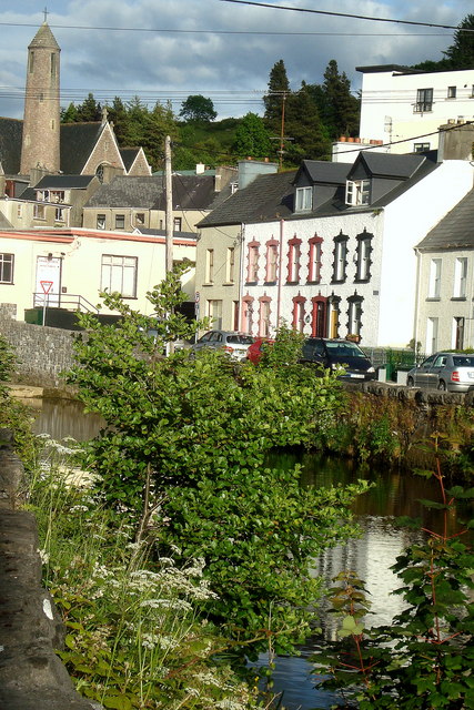
Water Street, Donegal Town — louise price — CC BY-SA 2.0 (https://creativecommons.org/licenses/by-sa/2.0) — https://commons.wikimedia.org/wiki/File:Water_Street,_Donegal_Town_-_geograph.org.uk_-_1351777.jpg — Provider JPEG; no local edits.

louise price
CC BY-SA 2.0
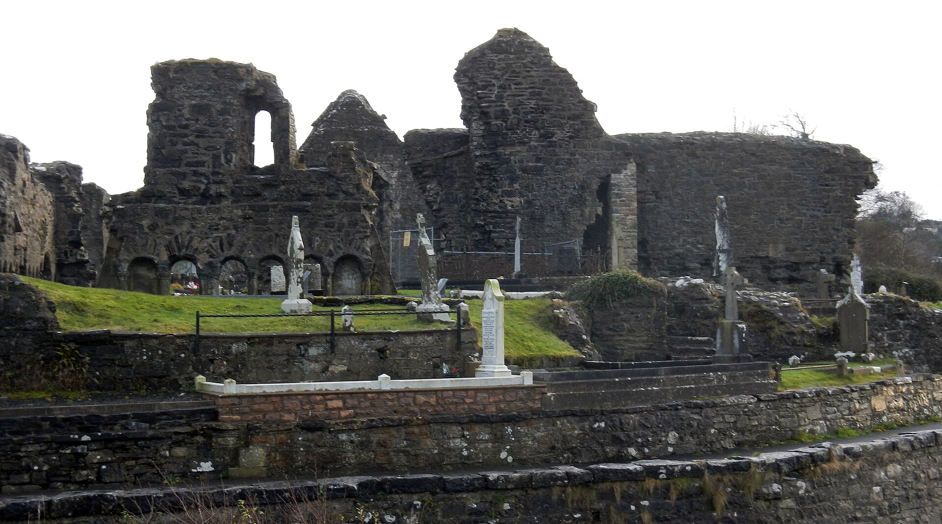
Donegal Abbey 121912.JPG — Wilson44691 — CC0 (http://creativecommons.org/publicdomain/zero/1.0/deed.en) — https://commons.wikimedia.org/wiki/File:Donegal_Abbey_121912.JPG — Provider JPEG; no local edits.

Wilson44691
CC0
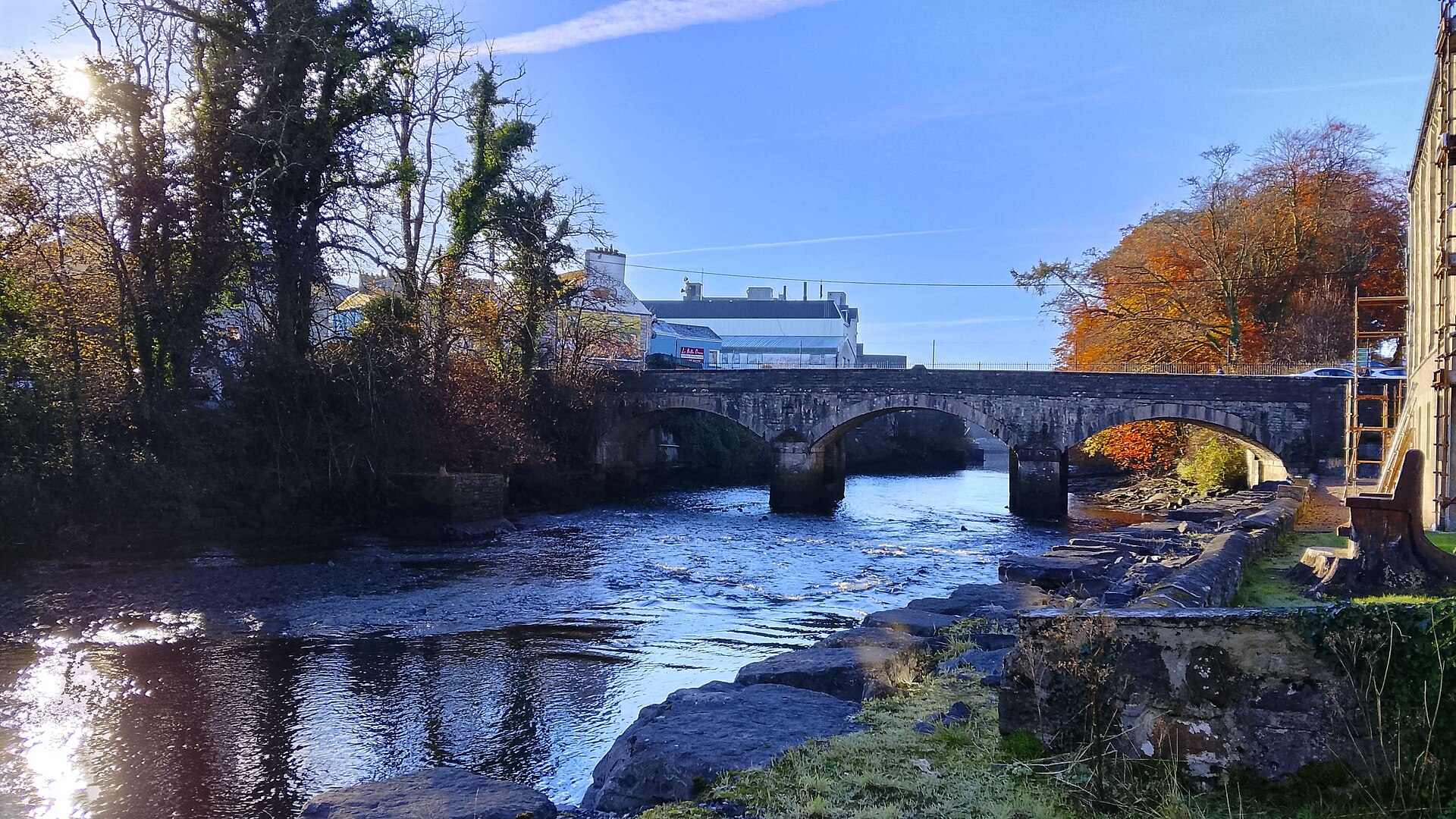
River Eske through Donegal Town.jpg — SRAbian — CC BY 4.0 (https://creativecommons.org/licenses/by/4.0) — https://commons.wikimedia.org/wiki/File:River_Eske_through_Donegal_Town.jpg — Provider JPEG; no local edits.

SRAbian
CC BY 4.0
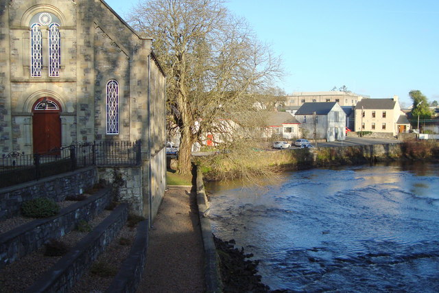
Methodist Church on River Eske — louise price — CC BY-SA 2.0 (https://creativecommons.org/licenses/by-sa/2.0) — https://commons.wikimedia.org/wiki/File:Methodist_Church_on_River_Eske_-_geograph.org.uk_-_1092743.jpg — Provider JPEG; no local edits.

louise price
CC BY-SA 2.0
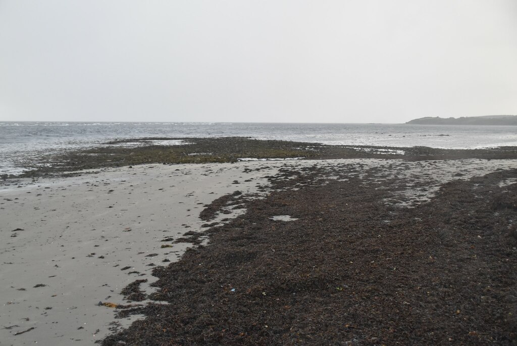
Eske Estuary - Donegal Bay — N Chadwick — CC BY-SA 2.0 (https://creativecommons.org/licenses/by-sa/2.0) — https://commons.wikimedia.org/wiki/File:Eske_Estuary_-_Donegal_Bay_-_geograph.org.uk_-_7164515.jpg — Provider JPEG; no local edits.

N Chadwick
CC BY-SA 2.0
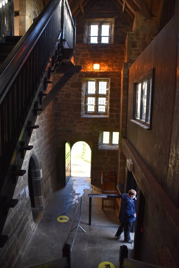
Donegal Castle — N Chadwick — CC BY-SA 2.0 (https://creativecommons.org/licenses/by-sa/2.0) — https://commons.wikimedia.org/wiki/File:Donegal_Castle_-_geograph.org.uk_-_7152818.jpg — Provider JPEG; no local edits.

N Chadwick
CC BY-SA 2.0
View original activity in YouVisible
Weather on your route
Loading forecast…
Sources and credits
© Sport Ireland, National Trails Register / GetIrelandActiveTrailRoutes. CC BY 4.0 (https://creativecommons.org/licenses/by/4.0/). Native XY vertices preserved; lossless GPX format conversion; photographs credited separately.
Sport Ireland · National Trails Register / GetIrelandActiveTrailRoutes · CC BY 4.0
Route surroundings · Donegal Town · Water Street, Donegal Town
Water Street, Donegal Town — louise price — CC BY-SA 2.0 (https://creativecommons.org/licenses/by-sa/2.0) — https://commons.wikimedia.org/wiki/File:Water_Street,_Donegal_Town_-_geograph.org.uk_-_1351777.jpg — Provider JPEG; no local edits.
louise price · CC BY-SA 2.0 · Media source
Route photograph
Donegal Abbey 121912.JPG — Wilson44691 — CC0 (http://creativecommons.org/publicdomain/zero/1.0/deed.en) — https://commons.wikimedia.org/wiki/File:Donegal_Abbey_121912.JPG — Provider JPEG; no local edits.
Wilson44691 · CC0 · Media source
Route photograph
River Eske through Donegal Town.jpg — SRAbian — CC BY 4.0 (https://creativecommons.org/licenses/by/4.0) — https://commons.wikimedia.org/wiki/File:River_Eske_through_Donegal_Town.jpg — Provider JPEG; no local edits.
SRAbian · CC BY 4.0 · Media source
Route surroundings · Donegal Town · Methodist Church on River Eske
Methodist Church on River Eske — louise price — CC BY-SA 2.0 (https://creativecommons.org/licenses/by-sa/2.0) — https://commons.wikimedia.org/wiki/File:Methodist_Church_on_River_Eske_-_geograph.org.uk_-_1092743.jpg — Provider JPEG; no local edits.
louise price · CC BY-SA 2.0 · Media source
Route surroundings · Donegal Town · Eske Estuary - Donegal Bay
Eske Estuary - Donegal Bay — N Chadwick — CC BY-SA 2.0 (https://creativecommons.org/licenses/by-sa/2.0) — https://commons.wikimedia.org/wiki/File:Eske_Estuary_-_Donegal_Bay_-_geograph.org.uk_-_7164515.jpg — Provider JPEG; no local edits.
N Chadwick · CC BY-SA 2.0 · Media source
Route surroundings · Donegal Town · Donegal Castle
Donegal Castle — N Chadwick — CC BY-SA 2.0 (https://creativecommons.org/licenses/by-sa/2.0) — https://commons.wikimedia.org/wiki/File:Donegal_Castle_-_geograph.org.uk_-_7152818.jpg — Provider JPEG; no local edits.
N Chadwick · CC BY-SA 2.0 · Media source