Find your next route
Explore hiking, running, trail running and cycling routes that suit your plans.

Community route
Bray Head · A hill loop above the Irish Sea
A coastal hill loop above Bray with views over the Irish Sea, Bray and the Wicklow Mountains. The official geometry starts and finishes near Lower Windgates at Ballynamuddagh Road; the two endpoint fields preserve that same original coordinate. The reference line keeps its original direction and does not include an invented approach from the promenade. Wicklow County Tourism recommends the Bray Head Loop as an alternative to the closed Bray–Greystones Cliff Walk and warns of extensive erosion on the ascent. The photographs show Bray Head and its coastal setting; railway and seafront views are context and add no access to the track.
By YouVisible Sport
Mapa del recorrido
Activity measurements
- distance meters
- 5,925.3847316467
- end · latitude
- 53.1743302
- end · longitude
- -6.0943141
- start · latitude
- 53.1743302
- start · longitude
- -6.0943141
- Sport
- hiking mountaineering
- Specialty
- Hiking
From start to finish
- Country
- Ireland
- Province / region
- —
- Localities
- Bray
Before you go
- How to reach the start
- —
- Parking and access
- Wicklow County Tourism reports landslide closure of the separate Bray–Greystones Cliff Walk and recommends the Bray Head Loop as an alternative. This is general access guidance, not confirmation that every part of this reference is open today. Limited roadside parking is reported near Lower Windgates; no parking space or camera position is invented. Check current Wicklow County Council notices before setting out.
- Advice
- Wear suitable footwear for the eroded ascent, stay on the marked route and obey current closures. Keep dogs on a lead around grazing cattle. Railway photographs do not indicate a permitted walking route along the line.
- Recommended equipment
- Suitable walking footwear for the eroded ascent, as recommended by Wicklow County Tourism.
- Terrain
- —
- Signage
- —
Characteristics and difficulty
- Estimated duration
- —
- Author perceived effort
- —
- Physical difficulty
- —
- Technical difficulty
- —
About the route
A coastal hill loop above Bray with views over the Irish Sea, Bray and the Wicklow Mountains. The official geometry starts and finishes near Lower Windgates at Ballynamuddagh Road; the two endpoint fields preserve that same original coordinate. The reference line keeps its original direction and does not include an invented approach from the promenade. Wicklow County Tourism recommends the Bray Head Loop as an alternative to the closed Bray–Greystones Cliff Walk and warns of extensive erosion on the ascent. The photographs show Bray Head and its coastal setting; railway and seafront views are context and add no access to the track.
- Context
- —
- Specialty
- Hiking
- Event type
- —
- Description
- Six licensed photographs of Bray Head and its coastal setting. Context images do not add visits, railway access or camera locations to the route.
- Title
- Route highlights
- Title
- Sesión
- Description
- A coastal hill loop above Bray with views over the Irish Sea, Bray and the Wicklow Mountains. The official geometry starts and finishes near Lower Windgates at Ballynamuddagh Road; the two endpoint fields preserve that same original coordinate. The reference line keeps its original direction and does not include an invented approach from the promenade. Wicklow County Tourism recommends the Bray Head Loop as an alternative to the closed Bray–Greystones Cliff Walk and warns of extensive erosion on the ascent. The photographs show Bray Head and its coastal setting; railway and seafront views are context and add no access to the track.
- Description
- Bray Head and the Irish Sea, as credited by the photographer.
- Title
- Rocky slopes above the sea
- Description
- The promenade with Bray Head beyond; coastal context, not an additional approach included in this track.
- Title
- Bray seafront and headland
- Description
- The cross on Bray Head photographed in atmospheric conditions; this image does not describe current visibility.
- Title
- The summit cross
- Description
- Rock and flowering vegetation on Bray Head; no current seasonal conditions are inferred.
- Title
- Tor and hillside vegetation
- Description
- A coastal view towards Bray and Dublin from Bray Head; context of the loop.
- Title
- Looking towards Bray
- Description
- The railway and coastal slopes below Bray Head; this is not an invitation to enter the railway or the closed Cliff Walk.
- Title
- Railway below Bray Head
- Description
- Bray Head and the Irish Sea, as credited by the photographer.
- Title
- Rocky slopes above the sea
- Description
- The promenade with Bray Head beyond; coastal context, not an additional approach included in this track.
- Title
- Bray seafront and headland
- Description
- The cross on Bray Head photographed in atmospheric conditions; this image does not describe current visibility.
- Title
- The summit cross
- Description
- Rock and flowering vegetation on Bray Head; no current seasonal conditions are inferred.
- Title
- Tor and hillside vegetation
- Description
- A coastal view towards Bray and Dublin from Bray Head; context of the loop.
- Title
- Looking towards Bray
- Description
- The railway and coastal slopes below Bray Head; this is not an invitation to enter the railway or the closed Cliff Walk.
- Title
- Railway below Bray Head
- Advice
- Wear suitable footwear for the eroded ascent, stay on the marked route and obey current closures. Keep dogs on a lead around grazing cattle. Railway photographs do not indicate a permitted walking route along the line.
- Parking and access
- Wicklow County Tourism reports landslide closure of the separate Bray–Greystones Cliff Walk and recommends the Bray Head Loop as an alternative. This is general access guidance, not confirmation that every part of this reference is open today. Limited roadside parking is reported near Lower Windgates; no parking space or camera position is invented. Check current Wicklow County Council notices before setting out.
- Recommended equipment
- Suitable walking footwear for the eroded ascent, as recommended by Wicklow County Tourism.
- Title
- Bray Head · A hill loop above the Irish Sea
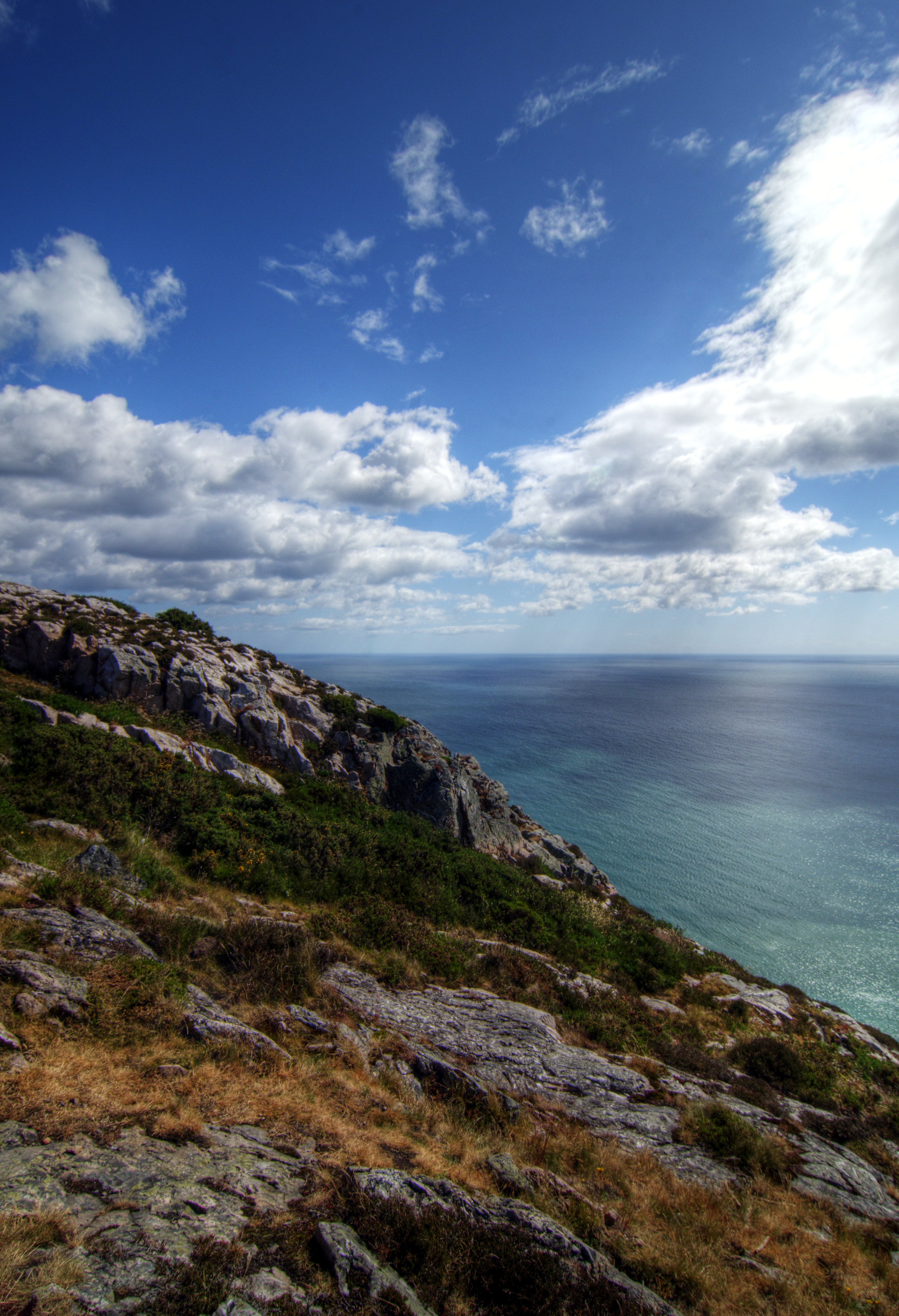
Bray Head — Rob Hurson — CC BY-SA 2.0 — https://www.flickr.com/photos/65378423@N08/9054193578/
Rob Hurson
CC BY-SA 2.0
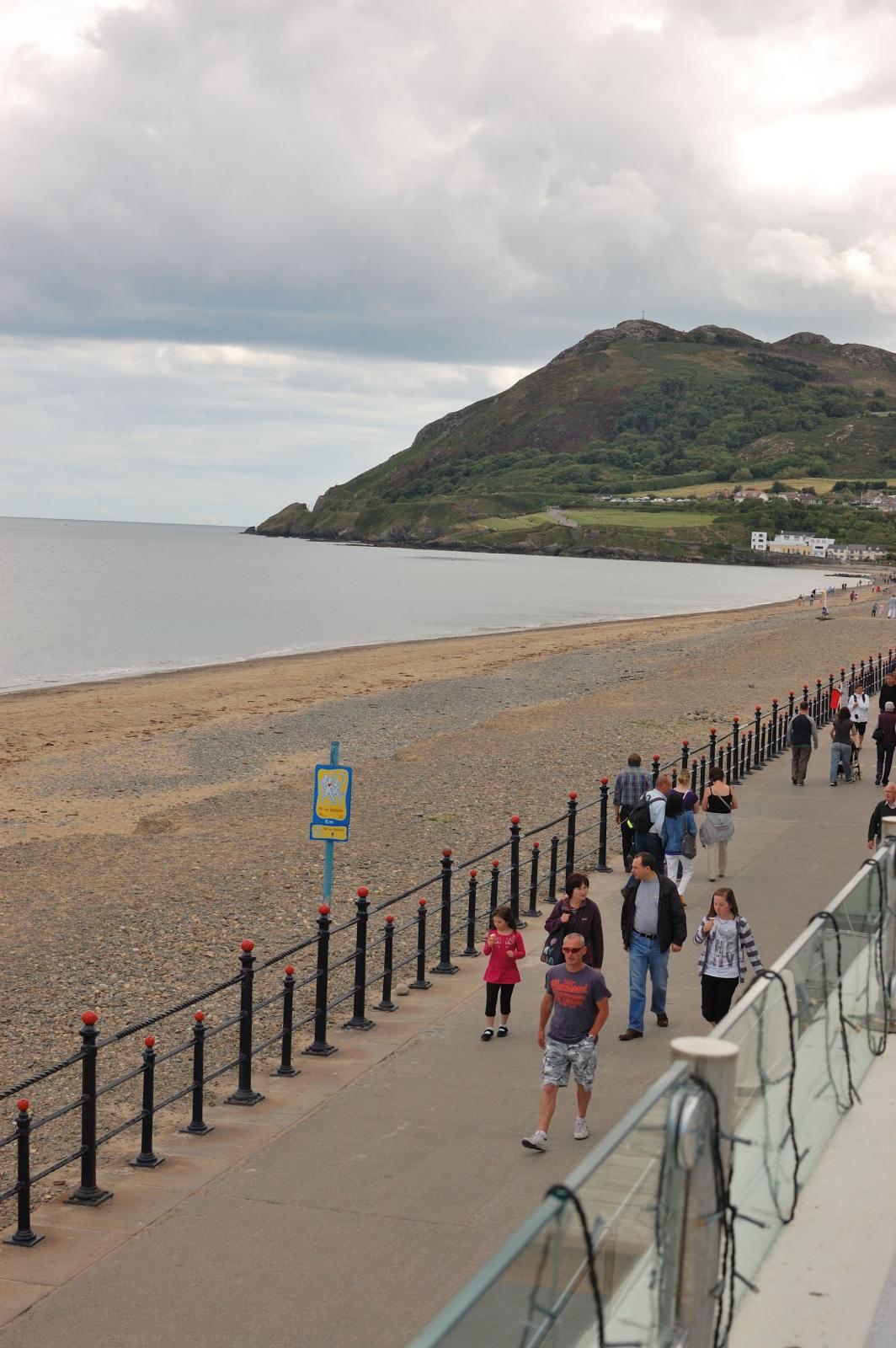
Bray Head — bea & txema & alan — CC BY 2.0 — https://www.flickr.com/photos/54821630@N00/6271417931/
bea & txema & alan
CC BY 2.0
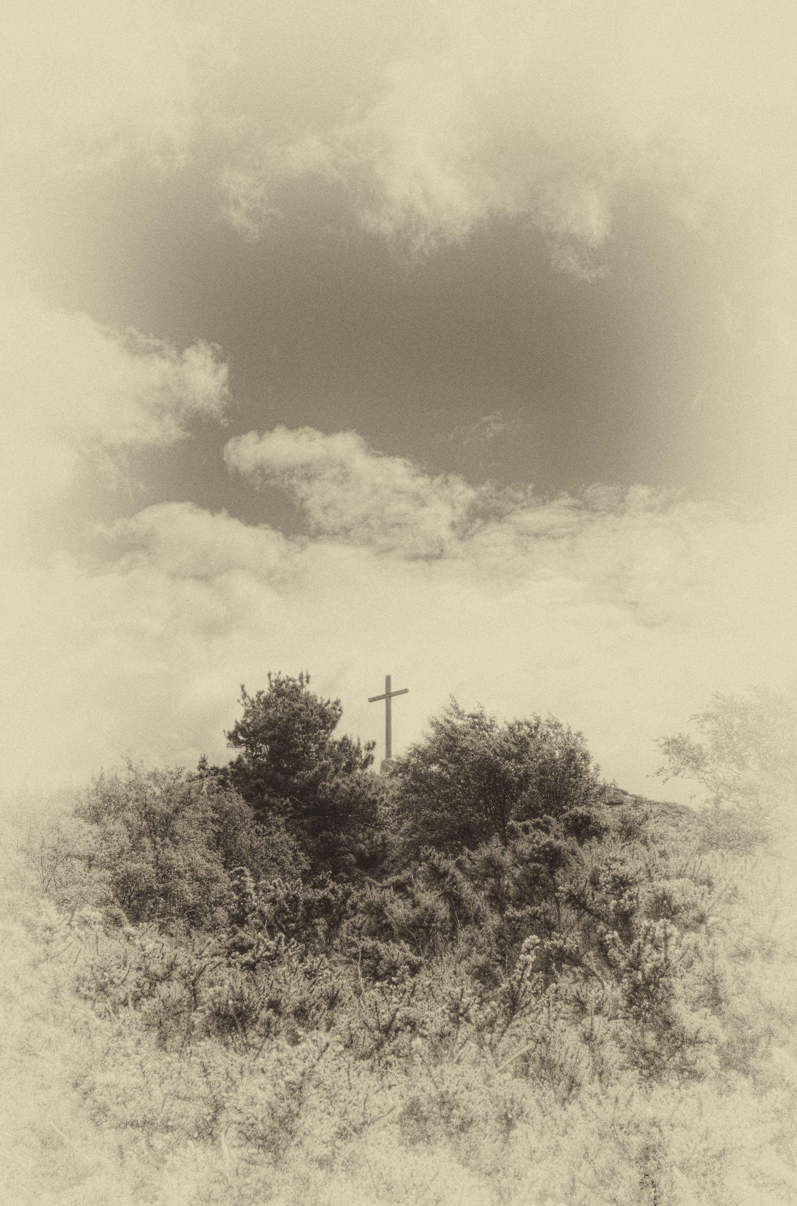
Bray head — Rob Hurson — CC BY-SA 2.0 — https://www.flickr.com/photos/65378423@N08/9573499934/
Rob Hurson
CC BY-SA 2.0
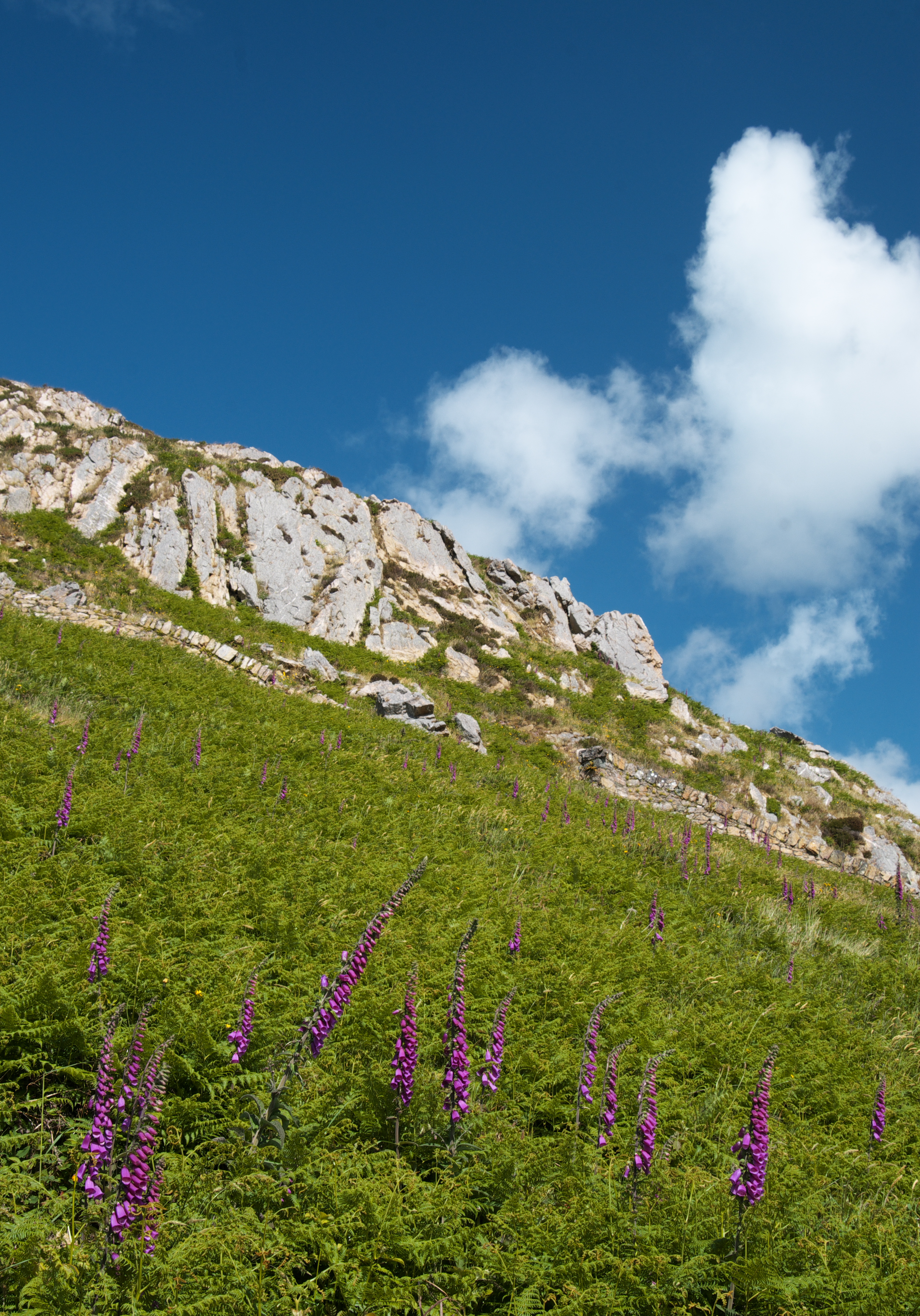
Tor, Bray Head — Rob Hurson — CC BY-SA 2.0 — https://www.flickr.com/photos/65378423@N08/9051982643/
Rob Hurson
CC BY-SA 2.0
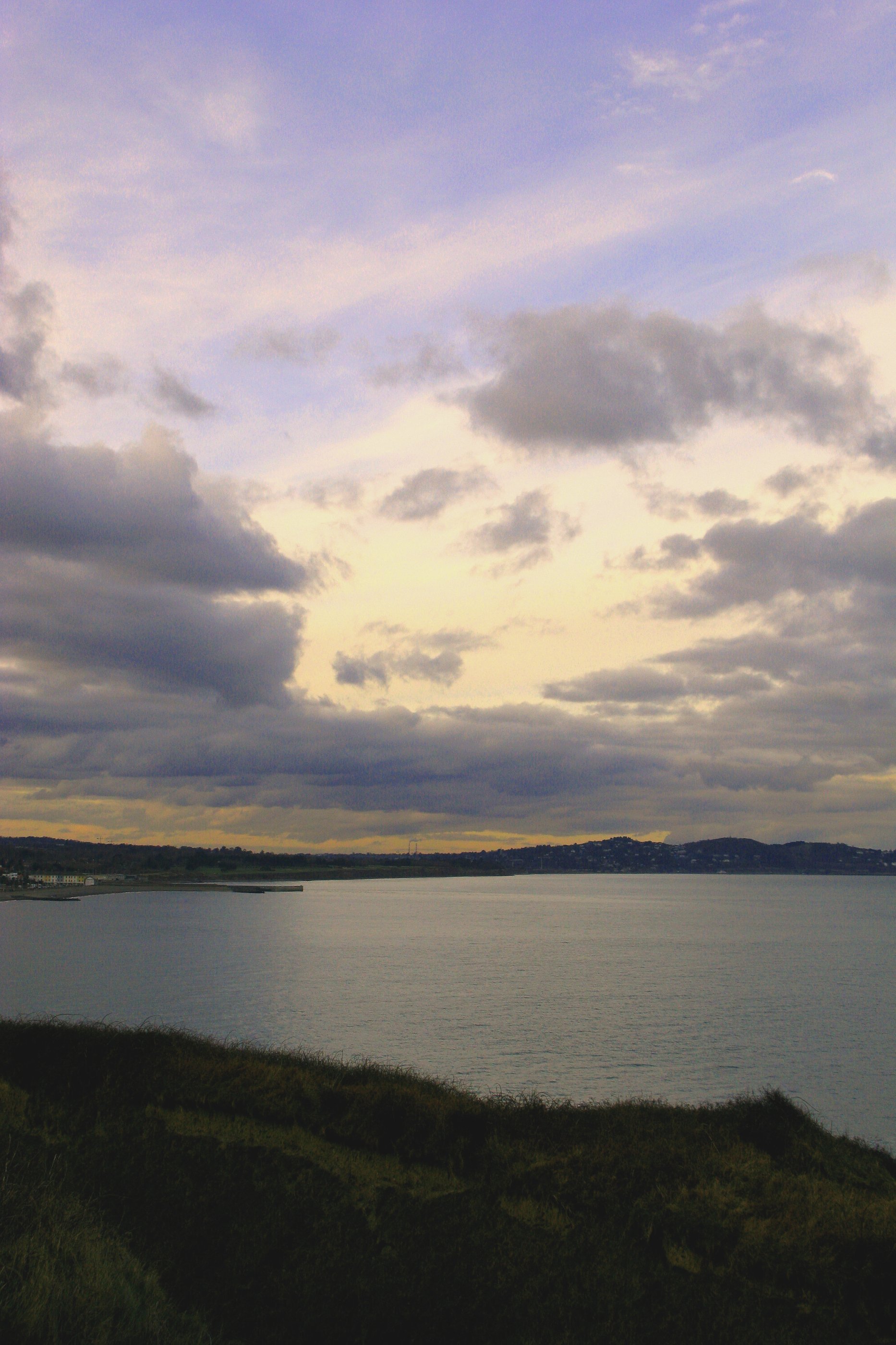
Dublin and Bray from Bray head, Wicklow — 私の写真 — CC BY-SA 2.0 — https://www.flickr.com/photos/14853290@N00/4374195990/
私の写真
CC BY-SA 2.0
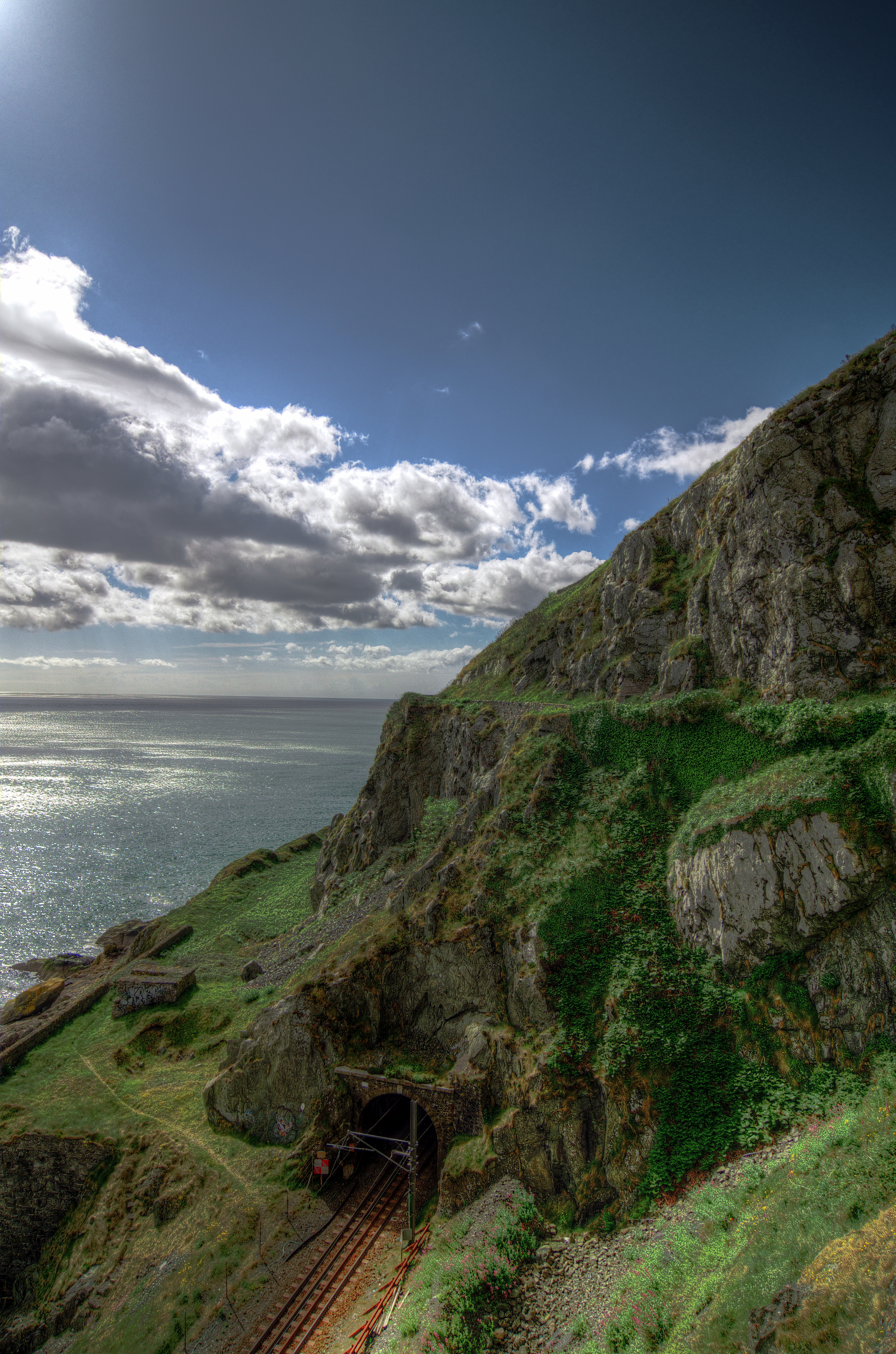
Rail tunnel, Bray Head — Rob Hurson — CC BY-SA 2.0 — https://www.flickr.com/photos/65378423@N08/9054298244/
Rob Hurson
CC BY-SA 2.0
View original activity in YouVisible
Weather on your route
Loading forecast…
Sources and credits
Contains Sport Ireland GetIrelandActiveTrailRoutes data, TrailID 1402, licensed under CC BY 4.0. Faithful conversion of the official WGS84 line to GPX; no coordinates or timestamps added.
Sport Ireland · GetIrelandActiveTrailRoutes · CC BY 4.0
Rocky slopes above the sea
Bray Head — Rob Hurson — CC BY-SA 2.0 — https://www.flickr.com/photos/65378423@N08/9054193578/
Rob Hurson · CC BY-SA 2.0 · Media source
Bray seafront and headland
Bray Head — bea & txema & alan — CC BY 2.0 — https://www.flickr.com/photos/54821630@N00/6271417931/
bea & txema & alan · CC BY 2.0 · Media source
The summit cross
Bray head — Rob Hurson — CC BY-SA 2.0 — https://www.flickr.com/photos/65378423@N08/9573499934/
Rob Hurson · CC BY-SA 2.0 · Media source
Tor and hillside vegetation
Tor, Bray Head — Rob Hurson — CC BY-SA 2.0 — https://www.flickr.com/photos/65378423@N08/9051982643/
Rob Hurson · CC BY-SA 2.0 · Media source
Looking towards Bray
Dublin and Bray from Bray head, Wicklow — 私の写真 — CC BY-SA 2.0 — https://www.flickr.com/photos/14853290@N00/4374195990/
私の写真 · CC BY-SA 2.0 · Media source
Railway below Bray Head
Rail tunnel, Bray Head — Rob Hurson — CC BY-SA 2.0 — https://www.flickr.com/photos/65378423@N08/9054298244/
Rob Hurson · CC BY-SA 2.0 · Media source