Find your next route
Explore hiking, running, trail running and cycling routes that suit your plans.

Community route
Burnham-on-Sea seafront · Coast Path section BDM-2-S001
Walk a south-to-north section beside Burnham-on-Sea’s seafront using the complete official King Charles III England Coast Path section BDM-2-S001. Natural England records this section as an existing public footway (pavement) in the Brean Down–Minehead stretch. The reference retains the published direction and both original endpoints. It is a short, self-contained reference to that numbered section, not the whole chapter, the 93 km Somerset stretch or a circular walk. The photographs show the town and its coastal setting; they add no detour onto the beach, harbour, dunes or hill. Tide levels and historical weather in the images are not current conditions.
By YouVisible Sport
Mapa del recorrido
Activity measurements
- distance meters
- 1,814.0744869584
- end · latitude
- 51.2421843
- end · longitude
- -2.9987493
- start · latitude
- 51.2269975
- start · longitude
- -3.0006098
- Sport
- hiking mountaineering
- Specialty
- Hiking
From start to finish
- Country
- United Kingdom
- Province / region
- —
- Localities
- Burnham-on-Sea
Before you go
- How to reach the start
- —
- Parking and access
- GOV.UK lists the Brean Down–Minehead stretch as open to the public, with coastal access established in 2016. That general status does not certify every point open today. Check current Natural England access maps and local notices before setting out. The wider regional notice includes a construction diversion at Hinkley Point; this town section does not reach that site. No parking location, availability or fee is inferred.
- Advice
- Follow the public pavement and any temporary signs. Check weather, coastal access restrictions and tides before considering beach access; the reference does not require entering the tidal beach. Respect local closures and use the original endpoints when planning onward transport.
- Recommended equipment
- —
- Terrain
- —
- Signage
- —
Characteristics and difficulty
- Estimated duration
- —
- Author perceived effort
- —
- Physical difficulty
- —
- Technical difficulty
- —
About the route
Walk a south-to-north section beside Burnham-on-Sea’s seafront using the complete official King Charles III England Coast Path section BDM-2-S001. Natural England records this section as an existing public footway (pavement) in the Brean Down–Minehead stretch. The reference retains the published direction and both original endpoints. It is a short, self-contained reference to that numbered section, not the whole chapter, the 93 km Somerset stretch or a circular walk. The photographs show the town and its coastal setting; they add no detour onto the beach, harbour, dunes or hill. Tide levels and historical weather in the images are not current conditions.
- Context
- —
- Specialty
- Hiking
- Event type
- —
- Description
- Six licensed photographs of Burnham-on-Sea and its coastal setting. Beach, harbour, lighthouse, vegetation and town views are context, without adding access or visits beyond the official pavement section.
- Title
- Route highlights
- Title
- Sesión
- Description
- Walk a south-to-north section beside Burnham-on-Sea’s seafront using the complete official King Charles III England Coast Path section BDM-2-S001. Natural England records this section as an existing public footway (pavement) in the Brean Down–Minehead stretch. The reference retains the published direction and both original endpoints. It is a short, self-contained reference to that numbered section, not the whole chapter, the 93 km Somerset stretch or a circular walk. The photographs show the town and its coastal setting; they add no detour onto the beach, harbour, dunes or hill. Tide levels and historical weather in the images are not current conditions.
- Description
- Burnham-on-Sea’s beach and low lighthouse are coastal context; the pavement reference adds no walk to the lighthouse.
- Title
- Beach and low lighthouse
- Description
- Burnham-on-Sea seafront buildings and beach, as credited by the photographer.
- Title
- The coastal town
- Description
- A historical black-and-white coastal view from Burnham-on-Sea.
- Title
- Sea and sky
- Description
- A historical view along the sea wall and shore; follow the mapped public footway and temporary notices.
- Title
- Beside the sea wall
- Description
- A flower bed identified with Burnham-on-Sea by its individual source; town context without adding a visit or inferring current planting.
- Title
- Colour in the town
- Description
- Boats offshore, illustrating the coastal setting rather than a water activity included in this route.
- Title
- Sails off Burnham-on-Sea
- Description
- Burnham-on-Sea’s beach and low lighthouse are coastal context; the pavement reference adds no walk to the lighthouse.
- Title
- Beach and low lighthouse
- Description
- Burnham-on-Sea seafront buildings and beach, as credited by the photographer.
- Title
- The coastal town
- Description
- A historical black-and-white coastal view from Burnham-on-Sea.
- Title
- Sea and sky
- Description
- A historical view along the sea wall and shore; follow the mapped public footway and temporary notices.
- Title
- Beside the sea wall
- Description
- A flower bed identified with Burnham-on-Sea by its individual source; town context without adding a visit or inferring current planting.
- Title
- Colour in the town
- Description
- Boats offshore, illustrating the coastal setting rather than a water activity included in this route.
- Title
- Sails off Burnham-on-Sea
- Advice
- Follow the public pavement and any temporary signs. Check weather, coastal access restrictions and tides before considering beach access; the reference does not require entering the tidal beach. Respect local closures and use the original endpoints when planning onward transport.
- Parking and access
- GOV.UK lists the Brean Down–Minehead stretch as open to the public, with coastal access established in 2016. That general status does not certify every point open today. Check current Natural England access maps and local notices before setting out. The wider regional notice includes a construction diversion at Hinkley Point; this town section does not reach that site. No parking location, availability or fee is inferred.
- Title
- Burnham-on-Sea seafront · Coast Path section BDM-2-S001
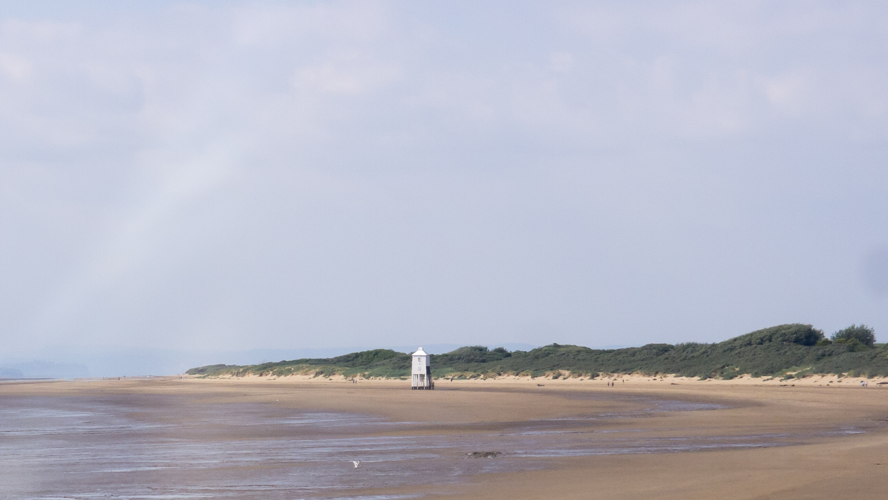
Burnham-on-Sea — Ed Webster — CC BY 2.0 — https://www.flickr.com/photos/55898913@N04/15630514868/
Ed Webster
CC BY 2.0
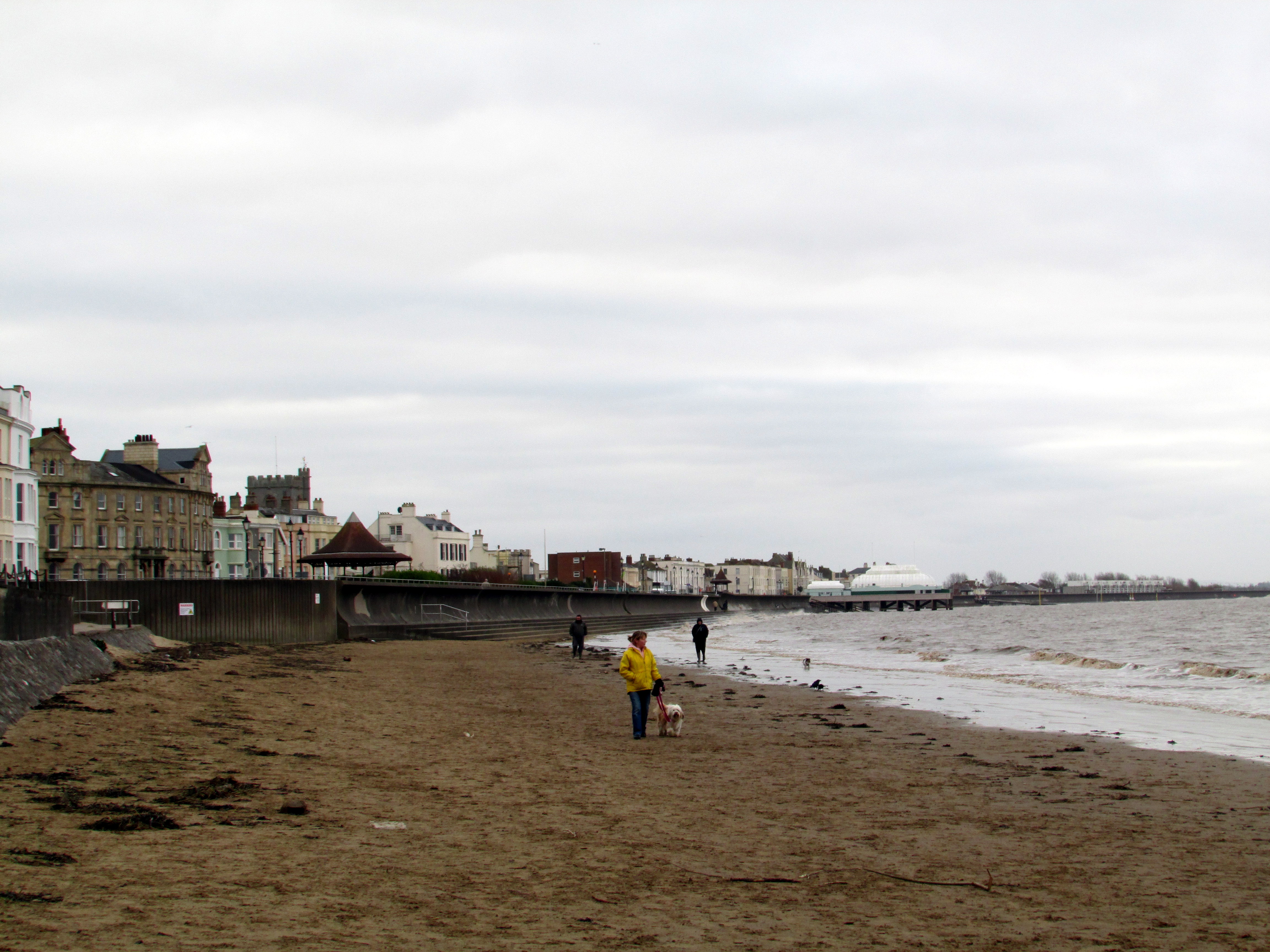
Burnham-on-Sea — Reading Tom — CC BY 2.0 — https://www.flickr.com/photos/16801915@N06/18838207898/
Reading Tom
CC BY 2.0
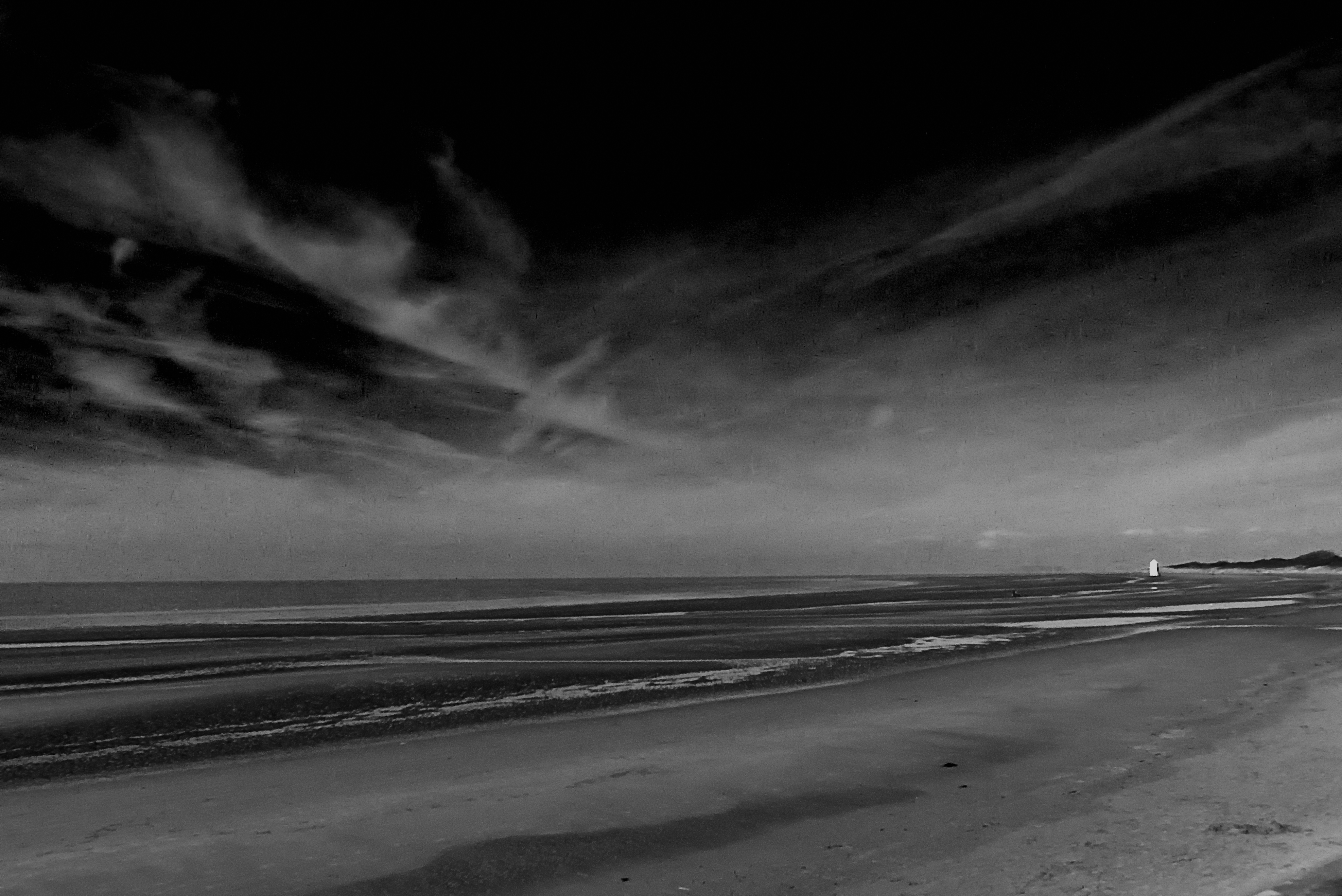
Burnham On Sea — Stewart Black — CC BY 2.0 — https://www.flickr.com/photos/36967498@N00/8478875046/
Stewart Black
CC BY 2.0
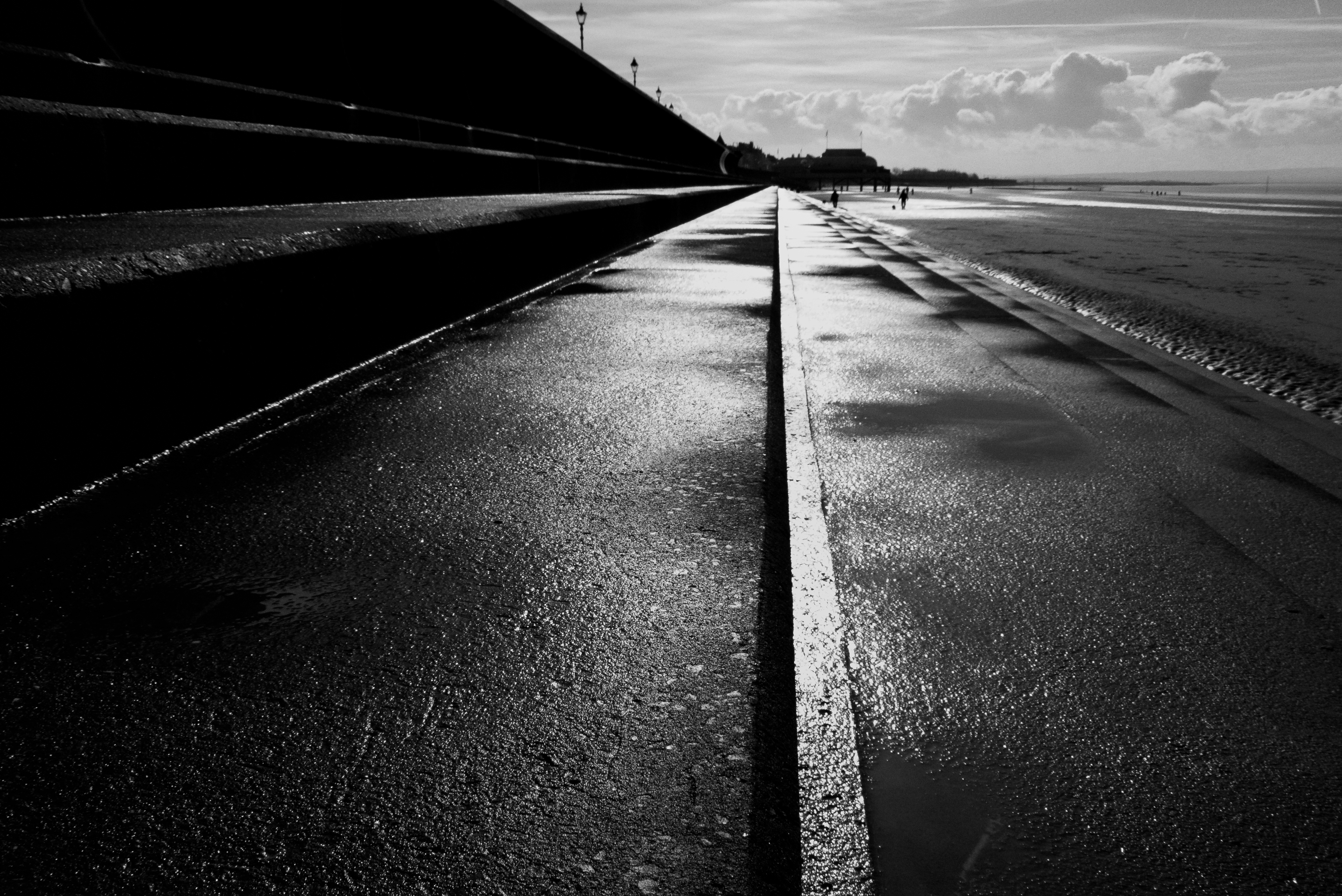
Burnham On Sea — Stewart Black — CC BY 2.0 — https://www.flickr.com/photos/36967498@N00/8476069263/
Stewart Black
CC BY 2.0
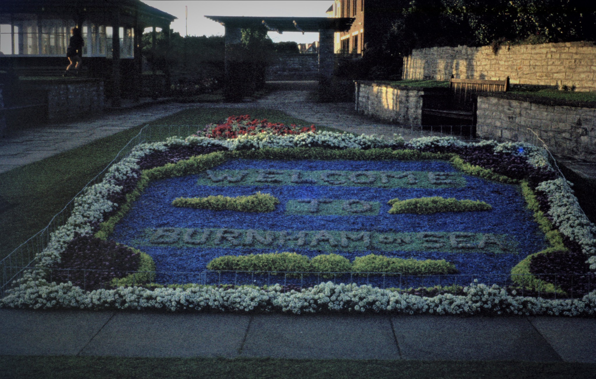
img418 — daves_archive _inactive at current time — CC BY 2.0 — https://www.flickr.com/photos/146272131@N07/49752148996/
daves_archive _inactive at current time
CC BY 2.0
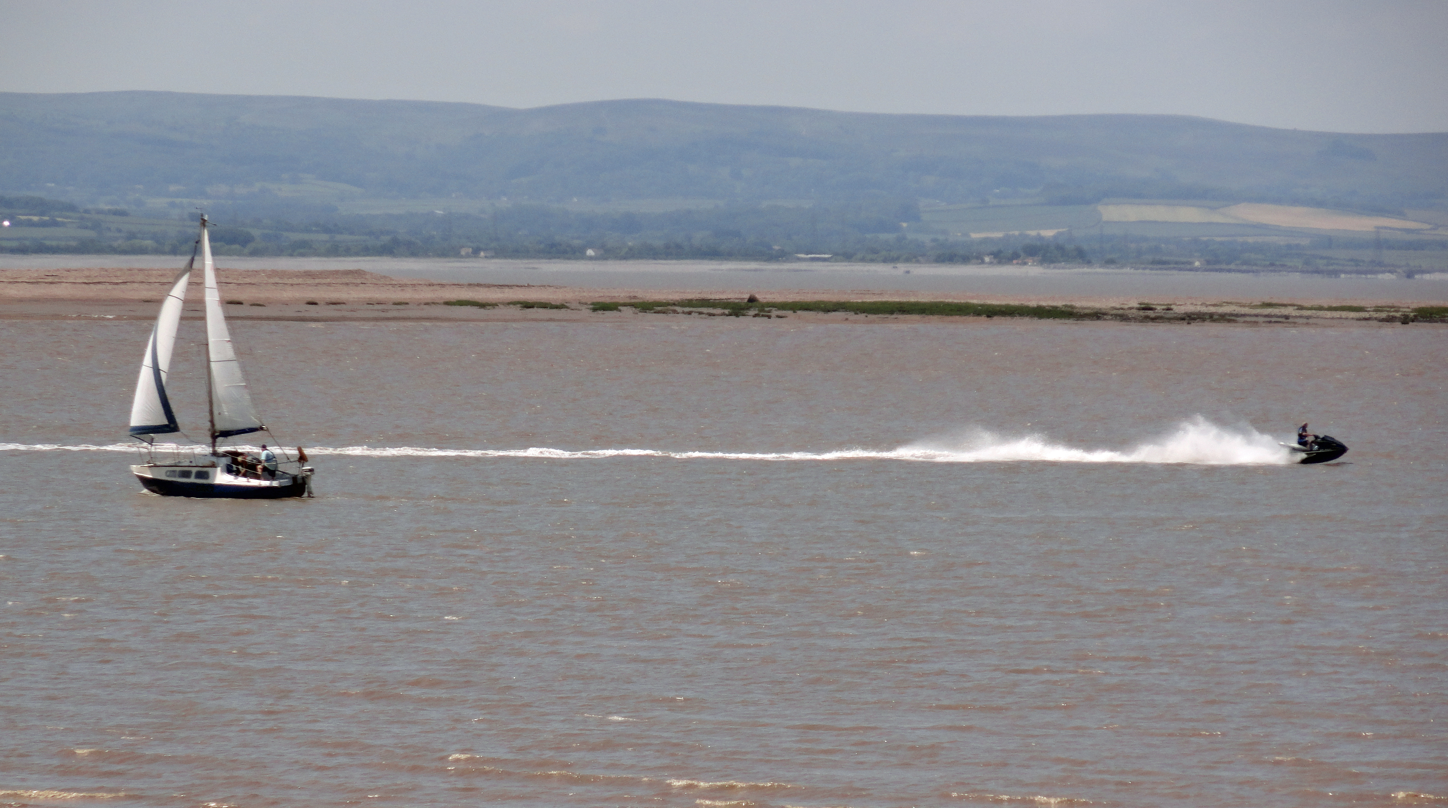
Burnham on Sea — MARTIN BUTLER — Public domain — https://www.flickr.com/photos/151517533@N04/35077897712/
MARTIN BUTLER
Public domain
View original activity in YouVisible
Weather on your route
Loading forecast…
Sources and credits
© Natural England copyright. Contains Ordnance Survey data © Crown copyright and database right 2024. Licensed under the Open Government Licence v3.0. Official section BDM-2-S001, OBJECTID 778; faithful WGS84-to-GPX conversion, preserving every coordinate and segment.
Natural England · England_Coast_Path_Route · OGL 3.0
Beach and low lighthouse
Burnham-on-Sea — Ed Webster — CC BY 2.0 — https://www.flickr.com/photos/55898913@N04/15630514868/
Ed Webster · CC BY 2.0 · Media source
The coastal town
Burnham-on-Sea — Reading Tom — CC BY 2.0 — https://www.flickr.com/photos/16801915@N06/18838207898/
Reading Tom · CC BY 2.0 · Media source
Sea and sky
Burnham On Sea — Stewart Black — CC BY 2.0 — https://www.flickr.com/photos/36967498@N00/8478875046/
Stewart Black · CC BY 2.0 · Media source
Beside the sea wall
Burnham On Sea — Stewart Black — CC BY 2.0 — https://www.flickr.com/photos/36967498@N00/8476069263/
Stewart Black · CC BY 2.0 · Media source
Colour in the town
img418 — daves_archive _inactive at current time — CC BY 2.0 — https://www.flickr.com/photos/146272131@N07/49752148996/
daves_archive _inactive at current time · CC BY 2.0 · Media source
Sails off Burnham-on-Sea
Burnham on Sea — MARTIN BUTLER — Public domain — https://www.flickr.com/photos/151517533@N04/35077897712/
MARTIN BUTLER · Public domain · Media source