Find your next route
Explore hiking, running, trail running and cycling routes that suit your plans.

Community route
Upper Vartry · Reservoir shores and woodland near Roundwood
Explore the shores and woodland around Upper Vartry Reservoir near Roundwood. The complete Sport Ireland reference retains its short original entrance path and the reservoir circuit, in that order. It starts at the Knockraheen entrance point and finishes at the circuit junction a few metres away; those separate original endpoints are preserved without adding a return segment. The source describes views towards the Sugar Loaf and Djouce mountains. The historical photographs show Vartry’s reservoirs, paths and surrounding mountains, with seasonal conditions rather than a promise of snow, ice or clear views.
By YouVisible Sport
Mapa del recorrido
Activity measurements
- distance meters
- 6,392.3649561063
- end · latitude
- 53.0717986
- end · longitude
- -6.2048246
- start · latitude
- 53.0717737
- start · longitude
- -6.2047753
- Sport
- hiking mountaineering
- Specialty
- Hiking
From start to finish
- Country
- Ireland
- Province / region
- —
- Localities
- Roundwood
Before you go
- How to reach the start
- —
- Parking and access
- Sport Ireland names Knockraheen Entrance and green waymarking. It describes some steep inclines around the upper reservoir and requires dogs on a lead. Water utility information describes the Vartry water-supply setting; reservoirs are drinking-water infrastructure. General trail information is not confirmation that all gates and paths are open today. Check current local and water-utility notices and obey reservoir access signs. No parking bay, fee or availability is inferred.
- Advice
- Stay on designated paths and respect water infrastructure and woodland. Do not go onto reservoir ice, swim or enter restricted installations because of a photograph. Keep dogs on a lead and check weather, daylight and local access notices.
- Recommended equipment
- —
- Terrain
- —
- Signage
- Sport Ireland: green waymarking.
Characteristics and difficulty
- Estimated duration
- —
- Author perceived effort
- —
- Physical difficulty
- —
- Technical difficulty
- —
About the route
Explore the shores and woodland around Upper Vartry Reservoir near Roundwood. The complete Sport Ireland reference retains its short original entrance path and the reservoir circuit, in that order. It starts at the Knockraheen entrance point and finishes at the circuit junction a few metres away; those separate original endpoints are preserved without adding a return segment. The source describes views towards the Sugar Loaf and Djouce mountains. The historical photographs show Vartry’s reservoirs, paths and surrounding mountains, with seasonal conditions rather than a promise of snow, ice or clear views.
- Context
- —
- Specialty
- Hiking
- Event type
- —
- Description
- Six individually licensed historical photographs of the route’s setting. Context images add no access, detour or exact camera position.
- Title
- Route highlights
- Title
- Sesión
- Description
- Explore the shores and woodland around Upper Vartry Reservoir near Roundwood. The complete Sport Ireland reference retains its short original entrance path and the reservoir circuit, in that order. It starts at the Knockraheen entrance point and finishes at the circuit junction a few metres away; those separate original endpoints are preserved without adding a return segment. The source describes views towards the Sugar Loaf and Djouce mountains. The historical photographs show Vartry’s reservoirs, paths and surrounding mountains, with seasonal conditions rather than a promise of snow, ice or clear views.
- Description
- The photographer identifies this view as Sugar Loaf from Upper Vartry Reservoir.
- Title
- Sugar Loaf from Upper Vartry
- Description
- A historical photograph of frozen water at Vartry Reservoir near Roundwood. No access to ice or current frozen conditions is implied.
- Title
- Vartry in freezing conditions
- Description
- A tree nursery photographed at Vartry Reservoir, as stated by the photographer. Context only; no entry to nursery property is added.
- Title
- Trees beside the reservoir
- Description
- A historical walking-trail photograph individually identified as Vartry Reservoir.
- Title
- A path at Vartry
- Description
- A distinct historical walking-trail view at Vartry Reservoir, identified by the photographer.
- Title
- Another woodland trail view
- Description
- A historical view across Vartry Reservoir towards snow on the Wicklow Mountains; no current snow condition is promised.
- Title
- Snow on the Wicklow Mountains
- Description
- The photographer identifies this view as Sugar Loaf from Upper Vartry Reservoir.
- Title
- Sugar Loaf from Upper Vartry
- Description
- A historical photograph of frozen water at Vartry Reservoir near Roundwood. No access to ice or current frozen conditions is implied.
- Title
- Vartry in freezing conditions
- Description
- A tree nursery photographed at Vartry Reservoir, as stated by the photographer. Context only; no entry to nursery property is added.
- Title
- Trees beside the reservoir
- Description
- A historical walking-trail photograph individually identified as Vartry Reservoir.
- Title
- A path at Vartry
- Description
- A distinct historical walking-trail view at Vartry Reservoir, identified by the photographer.
- Title
- Another woodland trail view
- Description
- A historical view across Vartry Reservoir towards snow on the Wicklow Mountains; no current snow condition is promised.
- Title
- Snow on the Wicklow Mountains
- Advice
- Stay on designated paths and respect water infrastructure and woodland. Do not go onto reservoir ice, swim or enter restricted installations because of a photograph. Keep dogs on a lead and check weather, daylight and local access notices.
- Parking and access
- Sport Ireland names Knockraheen Entrance and green waymarking. It describes some steep inclines around the upper reservoir and requires dogs on a lead. Water utility information describes the Vartry water-supply setting; reservoirs are drinking-water infrastructure. General trail information is not confirmation that all gates and paths are open today. Check current local and water-utility notices and obey reservoir access signs. No parking bay, fee or availability is inferred.
- Signage
- Sport Ireland: green waymarking.
- Title
- Upper Vartry · Reservoir shores and woodland near Roundwood
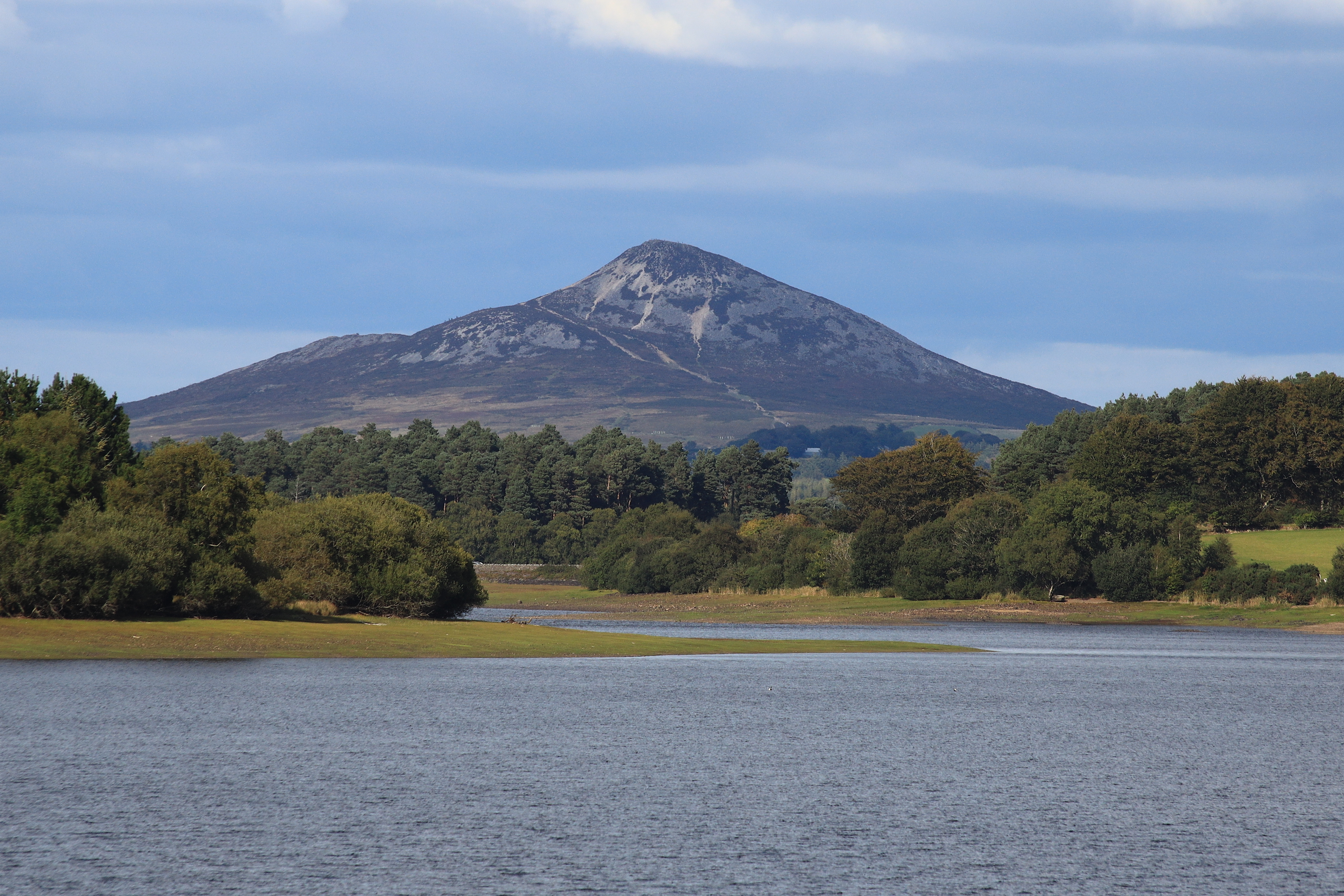
Sugar Loaf from Upper Vartry Reservoir — Maciej Brencz — CC BY 2.0 — https://www.flickr.com/photos/52967177@N02/52367980919/
Maciej Brencz
CC BY 2.0
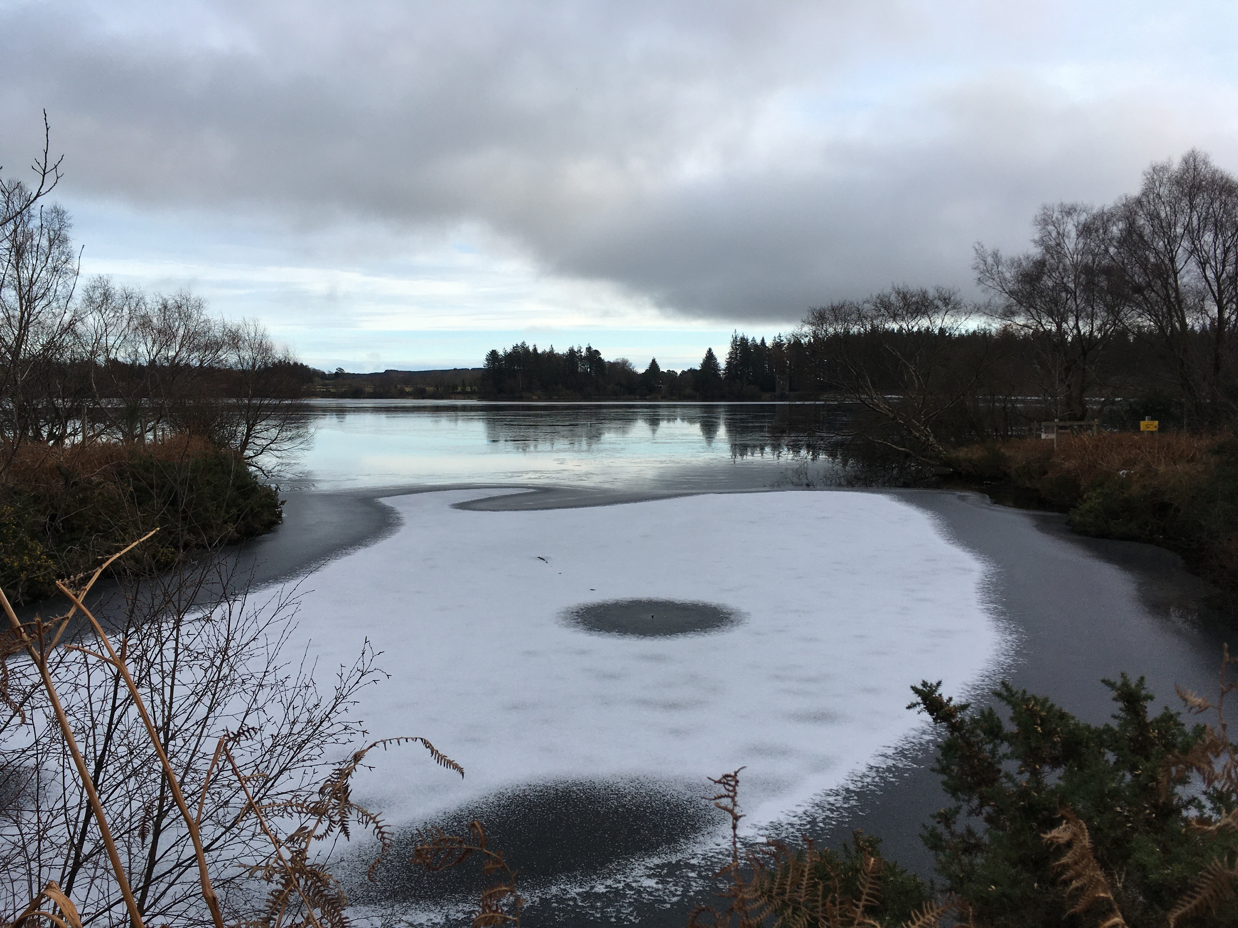
Frozen Vartry Reservoir — Marios Zindilis — CC0 1.0 — https://www.flickr.com/photos/76055737@N02/50821924542/
Marios Zindilis
CC0 1.0
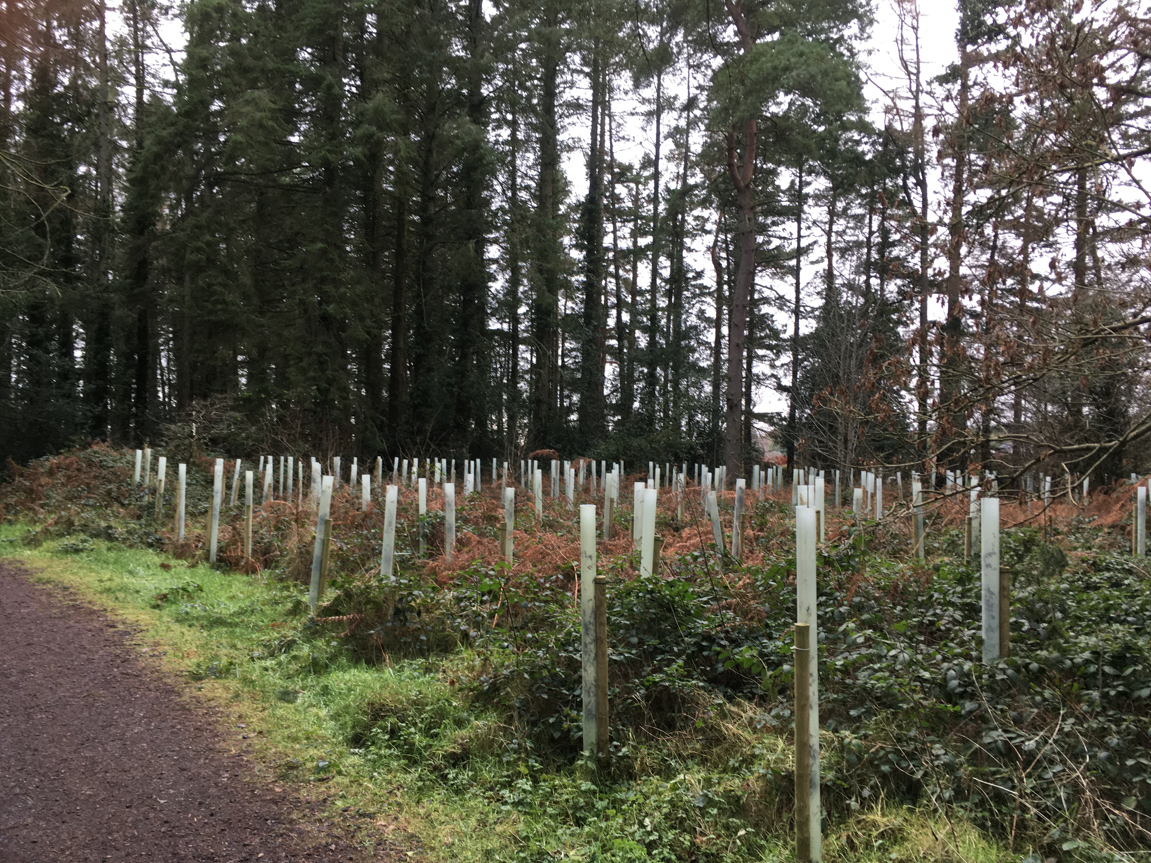
Tree nursery Vartry Reservoir — Marios Zindilis — CC0 1.0 — https://www.flickr.com/photos/76055737@N02/50821846581/
Marios Zindilis
CC0 1.0
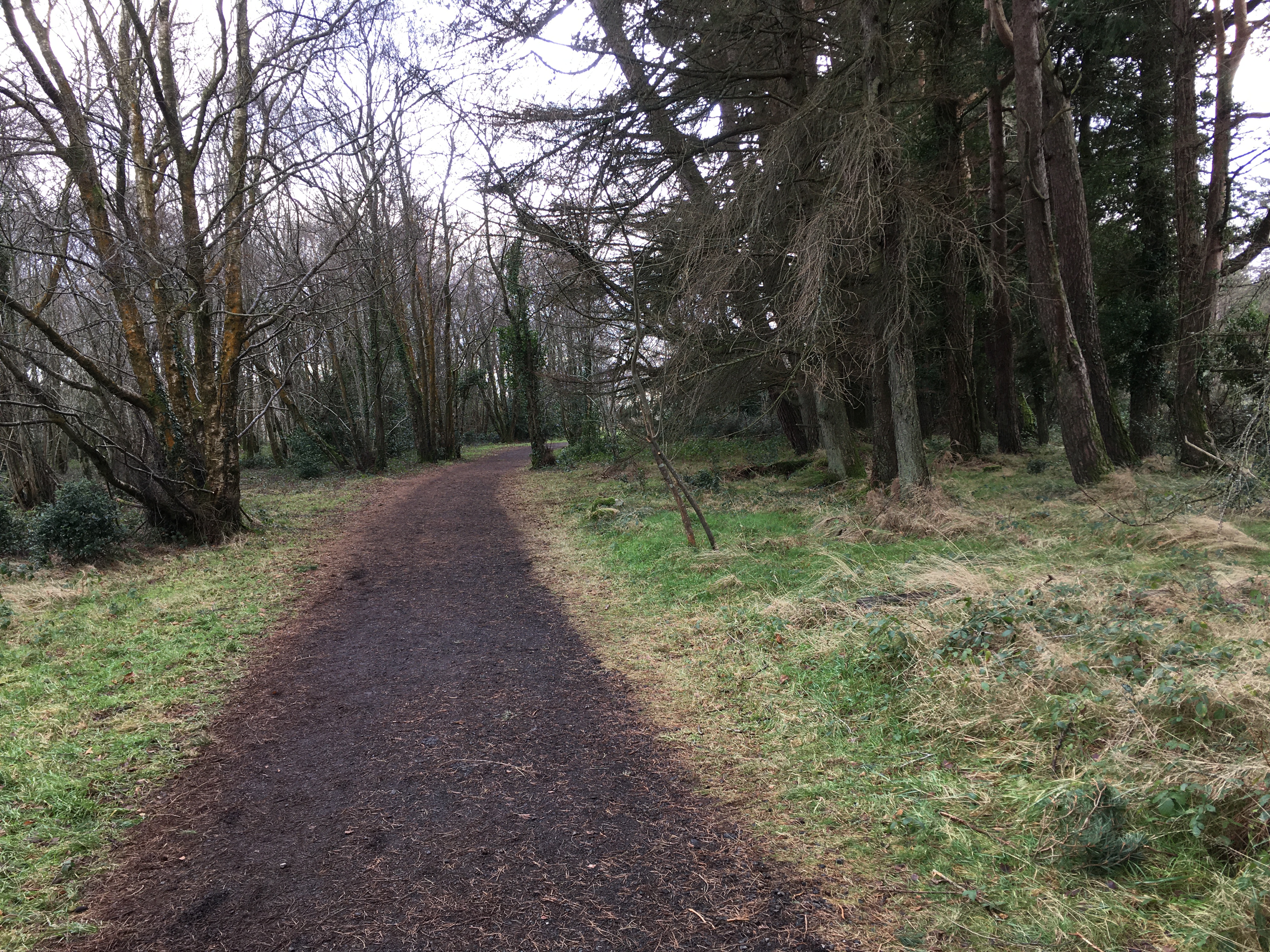
Walking trail Vartry Reservoir — Marios Zindilis — CC0 1.0 — https://www.flickr.com/photos/76055737@N02/50821854226/
Marios Zindilis
CC0 1.0
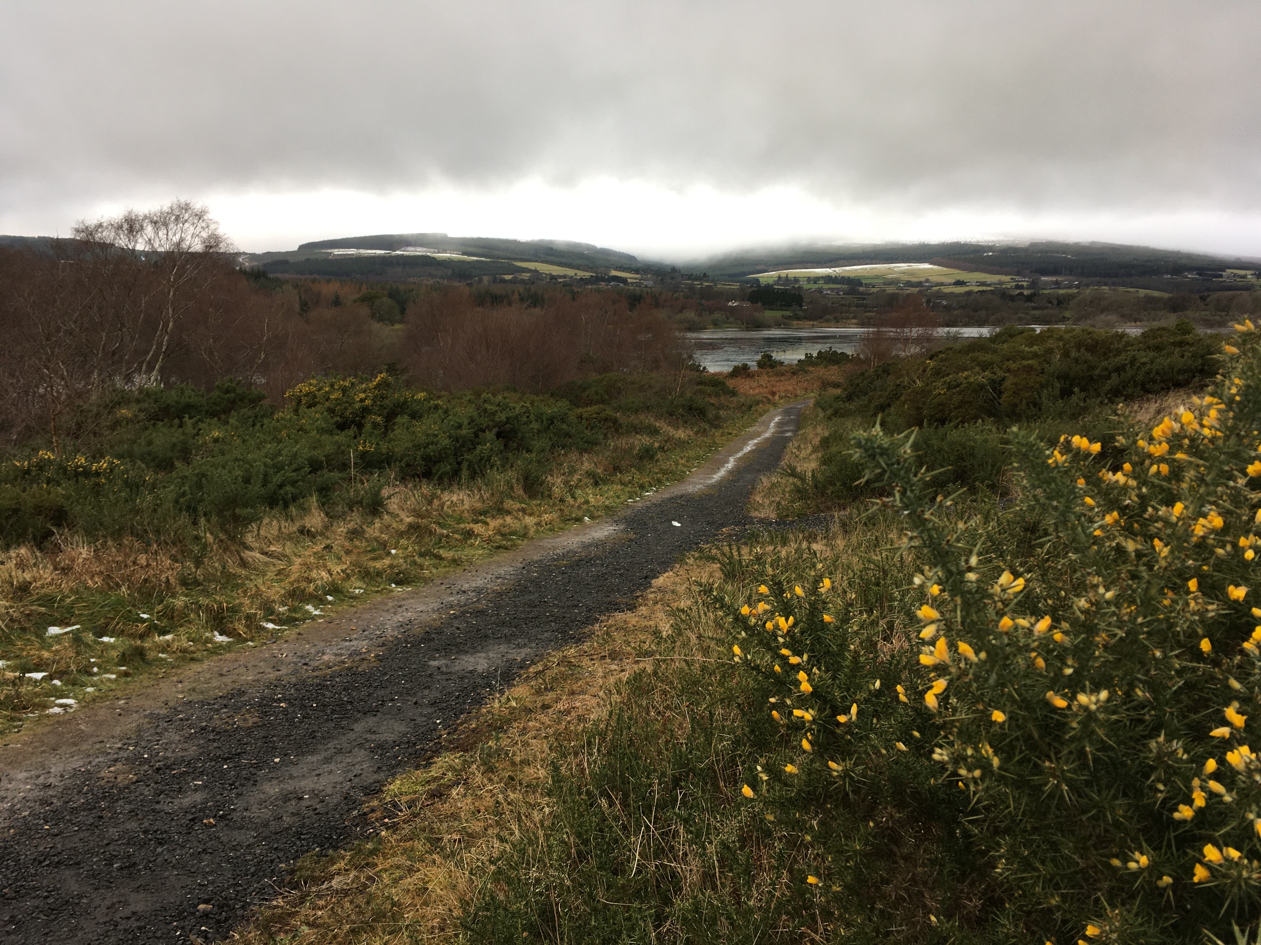
Walking trail Vartry Reservoir — Marios Zindilis — CC0 1.0 — https://www.flickr.com/photos/76055737@N02/50821087548/
Marios Zindilis
CC0 1.0
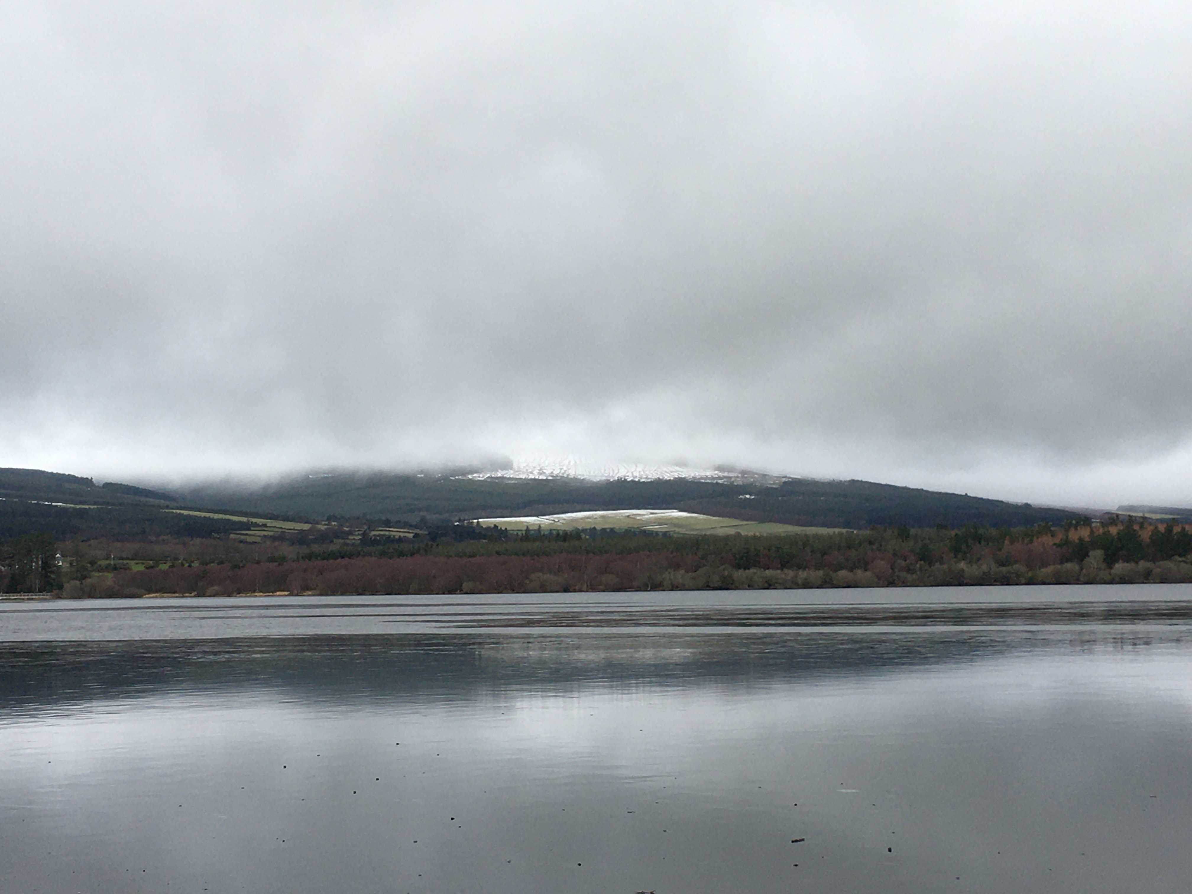
Snow on Wicklow mountains over Vartry Reservoir — Marios Zindilis — CC0 1.0 — https://www.flickr.com/photos/76055737@N02/50821849881/
Marios Zindilis
CC0 1.0
View original activity in YouVisible
Weather on your route
Loading forecast…
Sources and credits
Contains Sport Ireland GetIrelandActiveTrailRoutes data, TrailID 1377, licensed under CC BY 4.0. Whole original paths retained in the documented contiguous walking order.
Sport Ireland · GetIrelandActiveTrailRoutes · CC BY 4.0
Sugar Loaf from Upper Vartry
Sugar Loaf from Upper Vartry Reservoir — Maciej Brencz — CC BY 2.0 — https://www.flickr.com/photos/52967177@N02/52367980919/
Maciej Brencz · CC BY 2.0 · Media source
Vartry in freezing conditions
Frozen Vartry Reservoir — Marios Zindilis — CC0 1.0 — https://www.flickr.com/photos/76055737@N02/50821924542/
Marios Zindilis · CC0 1.0 · Media source
Trees beside the reservoir
Tree nursery Vartry Reservoir — Marios Zindilis — CC0 1.0 — https://www.flickr.com/photos/76055737@N02/50821846581/
Marios Zindilis · CC0 1.0 · Media source
A path at Vartry
Walking trail Vartry Reservoir — Marios Zindilis — CC0 1.0 — https://www.flickr.com/photos/76055737@N02/50821854226/
Marios Zindilis · CC0 1.0 · Media source
Another woodland trail view
Walking trail Vartry Reservoir — Marios Zindilis — CC0 1.0 — https://www.flickr.com/photos/76055737@N02/50821087548/
Marios Zindilis · CC0 1.0 · Media source
Snow on the Wicklow Mountains
Snow on Wicklow mountains over Vartry Reservoir — Marios Zindilis — CC0 1.0 — https://www.flickr.com/photos/76055737@N02/50821849881/
Marios Zindilis · CC0 1.0 · Media source