Find your next route
Explore hiking, running, trail running and cycling routes that suit your plans.

Community route
Swanage Bay · From Peveril Point towards the northern shore
Walk Natural England’s complete chapter 3 of the Kimmeridge Bay–South Haven Point coastal reference, from the Peveril Point side of Swanage towards the northern bay. The walk follows the coastal route from south to north. Harbour-side scenery, the town’s seafront and the curve of Swanage Bay give this linear section its character. The reference does not include a return, a visit onto the pier or the longer cliffs towards Durlston and Studland. Historical photographs show Swanage and its coast without adding those visits.
By YouVisible Sport
Mapa del recorrido
Activity measurements
- distance meters
- 3,236.2624167843
- end · latitude
- 50.6236396
- end · longitude
- -1.9533218
- start · latitude
- 50.6065425
- start · longitude
- -1.9468742
- Sport
- hiking mountaineering
- Specialty
- Hiking
From start to finish
- Country
- United Kingdom
- Province / region
- —
- Localities
- Swanage
Before you go
- How to reach the start
- —
- Parking and access
- Natural England’s opening announcement for the Kimmeridge Bay–South Haven Point stretch is general access information, not a current inspection of this chapter. Check Dorset Council and National Trail notices, tides and weather before departure, and obey temporary signs along the seafront. Do not infer access onto a paid pier or private harbour structure from a photograph. Parking availability and exact fees are unknown and remain unstated.
- Advice
- Stay on permitted coastal paths and pavements, respect temporary works and keep clear of exposed edges. Check coastal weather and arrange the permitted return or onward transport separately. Photographs do not confirm current business, attraction or pier opening hours.
- Recommended equipment
- —
- Terrain
- —
- Signage
- —
Characteristics and difficulty
- Estimated duration
- —
- Author perceived effort
- —
- Physical difficulty
- —
- Technical difficulty
- —
About the route
Walk Natural England’s complete chapter 3 of the Kimmeridge Bay–South Haven Point coastal reference, from the Peveril Point side of Swanage towards the northern bay. The walk follows the coastal route from south to north. Harbour-side scenery, the town’s seafront and the curve of Swanage Bay give this linear section its character. The reference does not include a return, a visit onto the pier or the longer cliffs towards Durlston and Studland. Historical photographs show Swanage and its coast without adding those visits.
- Context
- —
- Specialty
- Hiking
- Event type
- —
- Description
- Six individually licensed historical photographs of the route’s setting. Context images add no access, detour or exact camera position.
- Title
- Route highlights
- Title
- Sesión
- Description
- Walk Natural England’s complete chapter 3 of the Kimmeridge Bay–South Haven Point coastal reference, from the Peveril Point side of Swanage towards the northern bay. The walk follows the coastal route from south to north. Harbour-side scenery, the town’s seafront and the curve of Swanage Bay give this linear section its character. The reference does not include a return, a visit onto the pier or the longer cliffs towards Durlston and Studland. Historical photographs show Swanage and its coast without adding those visits.
- Description
- A vertical historical photograph taken beside Swanage pier. The pier is context and is not added to this track.
- Title
- Early light beside Swanage pier
- Description
- Swanage Bay and pier looking south, as described by the photographer.
- Title
- Across Swanage Bay
- Description
- A historical coastal photograph individually identified as Swanage.
- Title
- The Swanage shoreline
- Description
- A historical photograph of Swanage, as credited by its photographer.
- Title
- A distinct seafront view
- Description
- A historical sea and rocky-shore photograph individually identified as Swanage by its publisher. No access to rocks or an additional shore route is granted.
- Title
- Sea off Swanage
- Description
- A historical view identified as Swanage beach; the reference follows permitted paths rather than a tide-dependent beach shortcut.
- Title
- Swanage beach
- Description
- A vertical historical photograph taken beside Swanage pier. The pier is context and is not added to this track.
- Title
- Early light beside Swanage pier
- Description
- Swanage Bay and pier looking south, as described by the photographer.
- Title
- Across Swanage Bay
- Description
- A historical coastal photograph individually identified as Swanage.
- Title
- The Swanage shoreline
- Description
- A historical photograph of Swanage, as credited by its photographer.
- Title
- A distinct seafront view
- Description
- A historical sea and rocky-shore photograph individually identified as Swanage by its publisher. No access to rocks or an additional shore route is granted.
- Title
- Sea off Swanage
- Description
- A historical view identified as Swanage beach; the reference follows permitted paths rather than a tide-dependent beach shortcut.
- Title
- Swanage beach
- Advice
- Stay on permitted coastal paths and pavements, respect temporary works and keep clear of exposed edges. Check coastal weather and arrange the permitted return or onward transport separately. Photographs do not confirm current business, attraction or pier opening hours.
- Parking and access
- Natural England’s opening announcement for the Kimmeridge Bay–South Haven Point stretch is general access information, not a current inspection of this chapter. Check Dorset Council and National Trail notices, tides and weather before departure, and obey temporary signs along the seafront. Do not infer access onto a paid pier or private harbour structure from a photograph. Parking availability and exact fees are unknown and remain unstated.
- Title
- Swanage Bay · From Peveril Point towards the northern shore
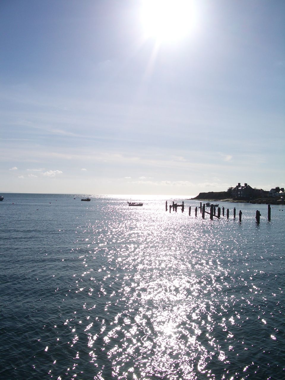
Swanage 01 — Oli R — CC BY 2.0 — https://www.flickr.com/photos/32498174@N00/13137622/
Oli R
CC BY 2.0
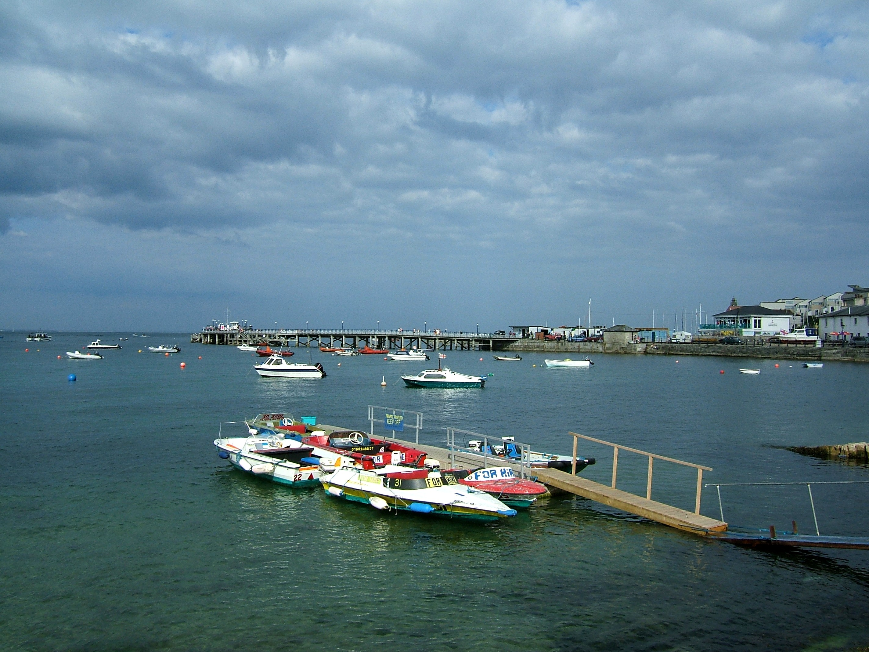
Swanage — Andrew Skudder — CC BY-SA 2.0 — https://www.flickr.com/photos/89273442@N00/211865281/
Andrew Skudder
CC BY-SA 2.0
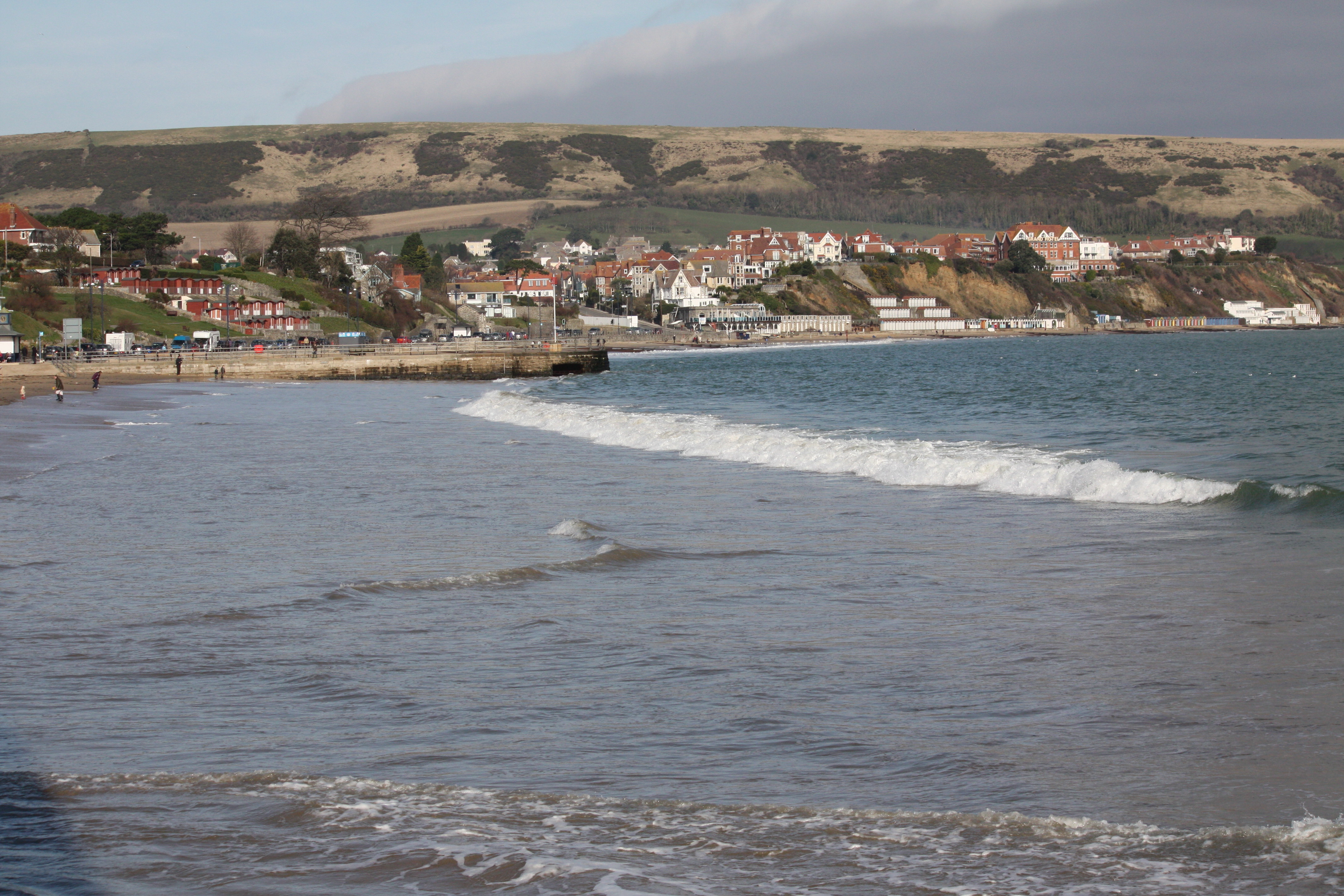
swanage — Mark Kent — CC BY-SA 2.0 — https://www.flickr.com/photos/31343702@N06/5471844598/
Mark Kent
CC BY-SA 2.0
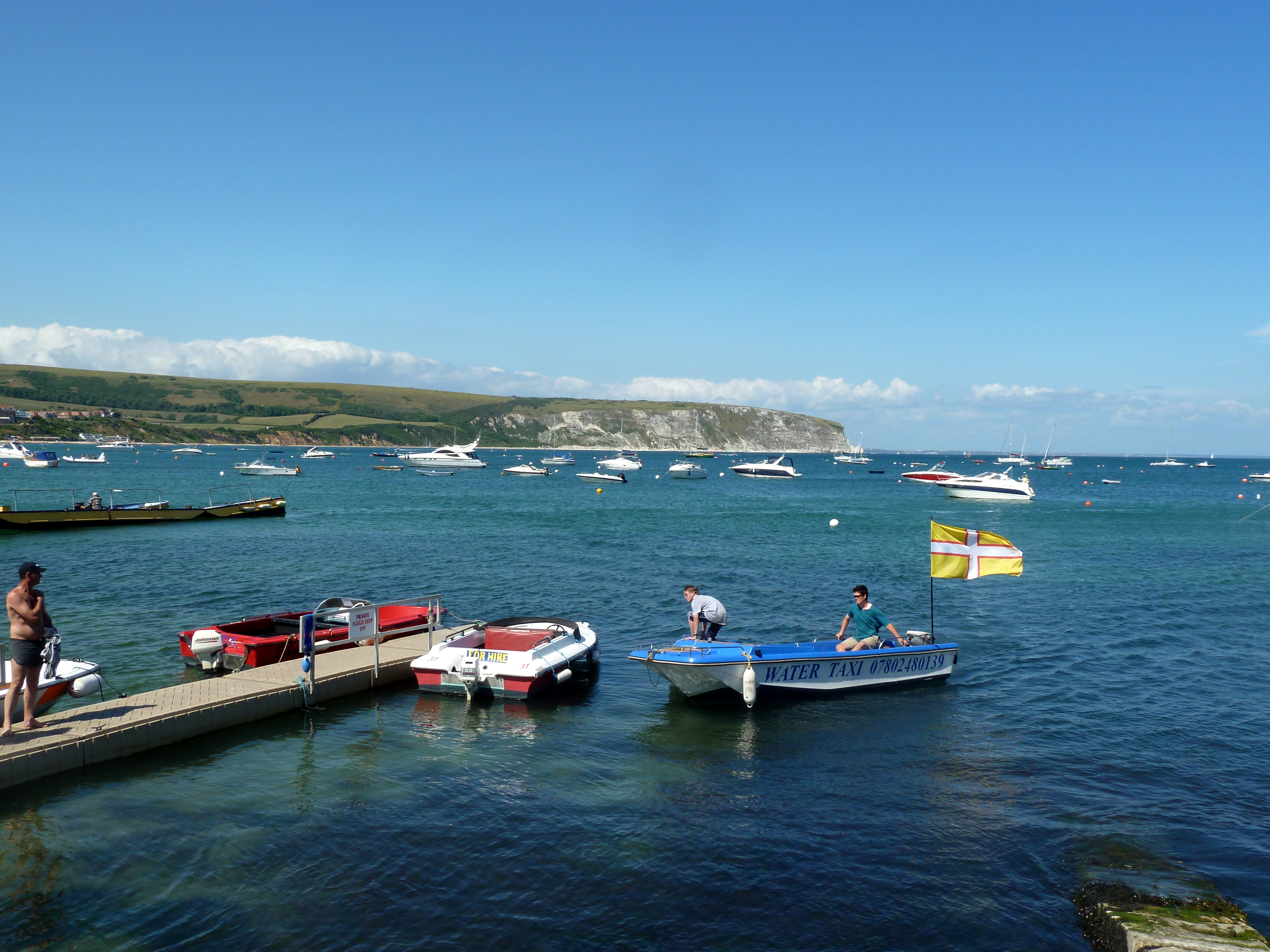
Swanage — Alistair Young — CC BY 2.0 — https://www.flickr.com/photos/15192926@N00/4826397787/
Alistair Young
CC BY 2.0
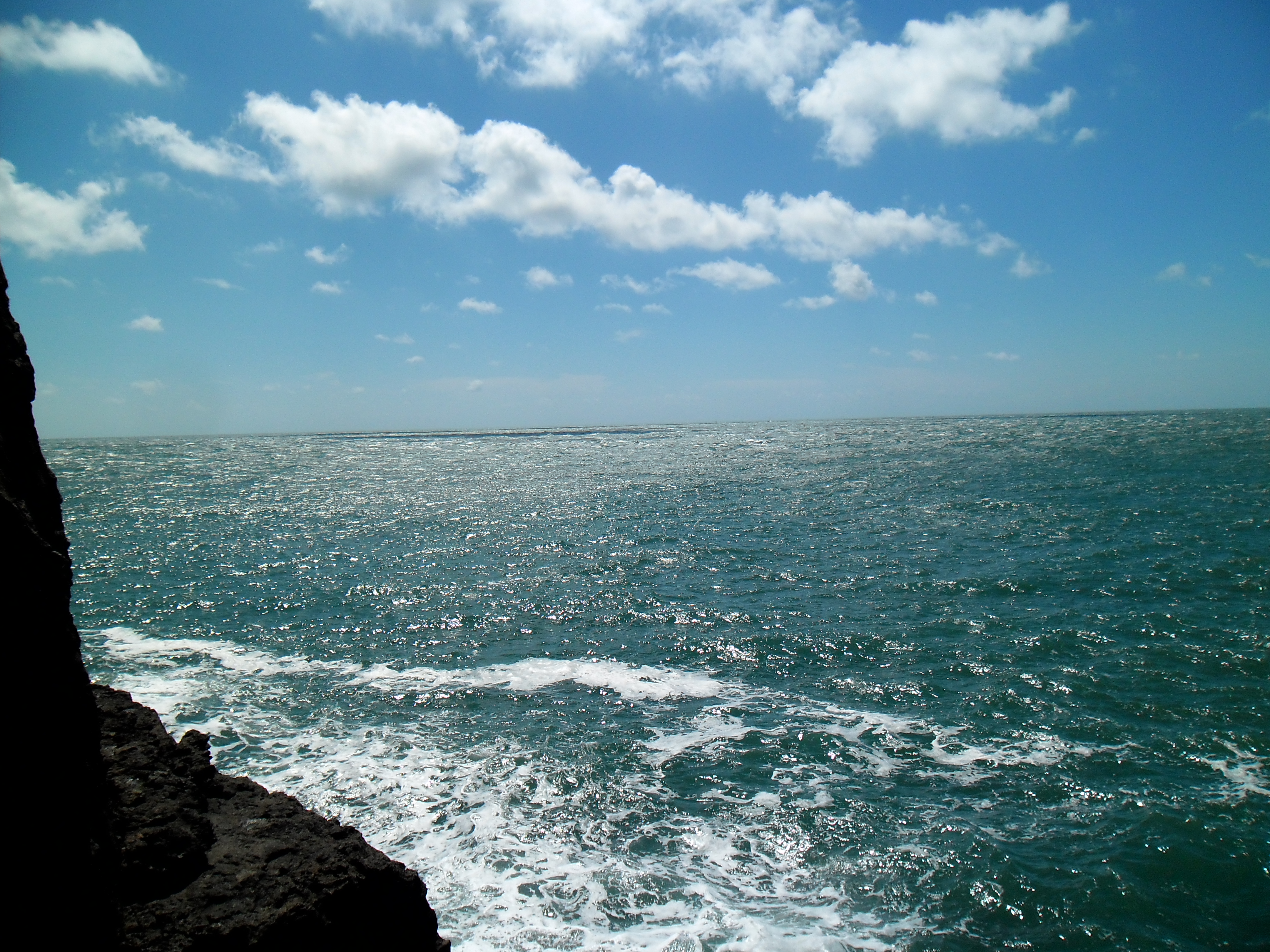
Swanage BH 002 — MBDA Climb — Public domain — https://www.flickr.com/photos/136243385@N05/28164506976/
MBDA Climb
Public domain
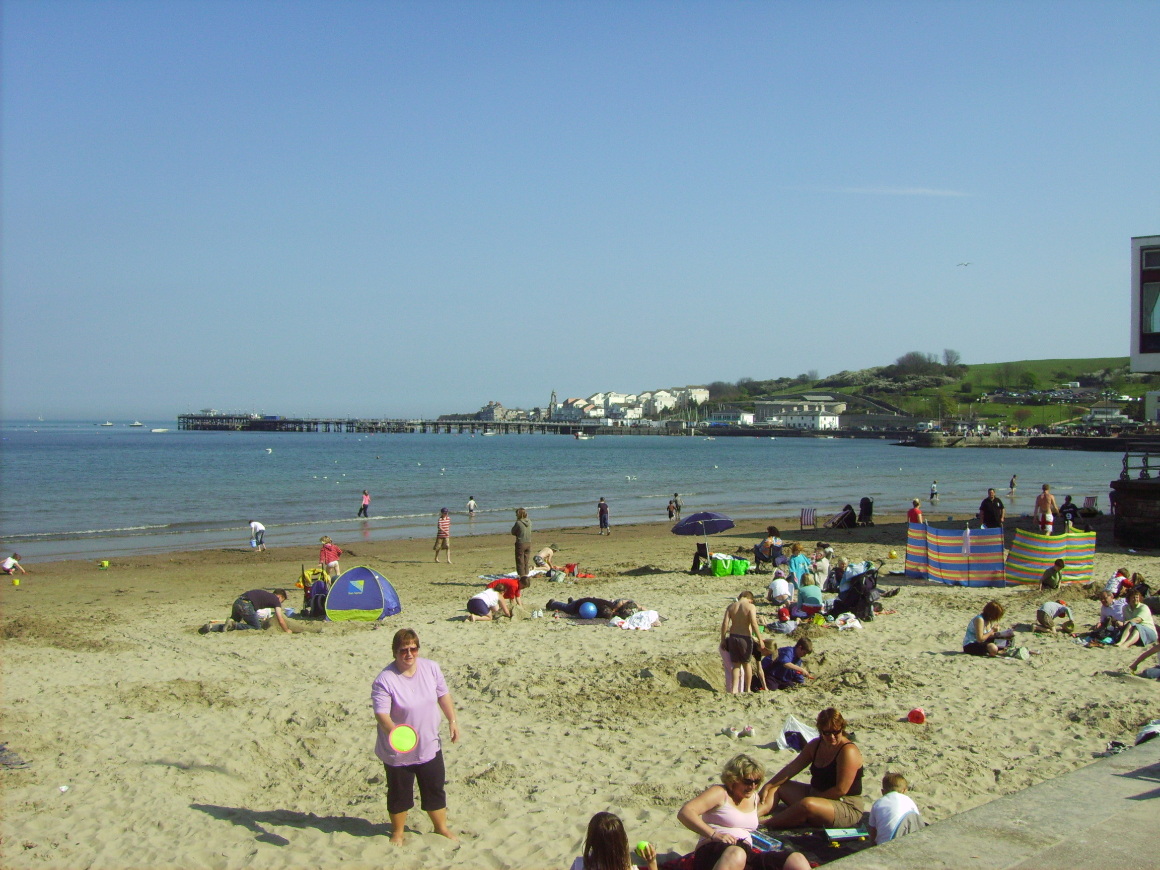
Swanage beach — jf 1234 — CC BY-SA 2.0 — https://www.flickr.com/photos/18154819@N00/519653269/
jf 1234
CC BY-SA 2.0
View original activity in YouVisible
Weather on your route
Loading forecast…
Sources and credits
© Natural England copyright. Contains Ordnance Survey data © Crown copyright and database right 2024. Open Government Licence v3.0. Whole original paths retained in the documented contiguous walking order.
Natural England · England_Coast_Path_Route · OGL 3.0
Early light beside Swanage pier
Swanage 01 — Oli R — CC BY 2.0 — https://www.flickr.com/photos/32498174@N00/13137622/
Oli R · CC BY 2.0 · Media source
Across Swanage Bay
Swanage — Andrew Skudder — CC BY-SA 2.0 — https://www.flickr.com/photos/89273442@N00/211865281/
Andrew Skudder · CC BY-SA 2.0 · Media source
The Swanage shoreline
swanage — Mark Kent — CC BY-SA 2.0 — https://www.flickr.com/photos/31343702@N06/5471844598/
Mark Kent · CC BY-SA 2.0 · Media source
A distinct seafront view
Swanage — Alistair Young — CC BY 2.0 — https://www.flickr.com/photos/15192926@N00/4826397787/
Alistair Young · CC BY 2.0 · Media source
Sea off Swanage
Swanage BH 002 — MBDA Climb — Public domain — https://www.flickr.com/photos/136243385@N05/28164506976/
MBDA Climb · Public domain · Media source
Swanage beach
Swanage beach — jf 1234 — CC BY-SA 2.0 — https://www.flickr.com/photos/18154819@N00/519653269/
jf 1234 · CC BY-SA 2.0 · Media source