Find your next route
Explore hiking, running, trail running and cycling routes that suit your plans.

Community route
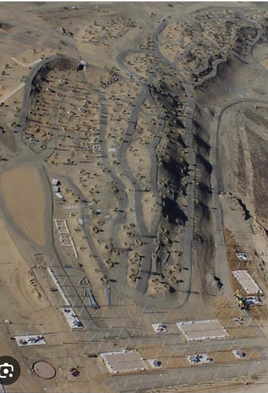
Señorío de Illescas-Plataforma Íberum-Señorío de Illescas
Buen recorrido para rodar por asfalto con una mtb y para acceder al circuito de mtb del Plataforma Íberum
By Alberto Gómez Herguedas
Mapa del recorrido
Perfil de elevación
Velocidad del recorrido
Ritmo del recorrido
Activity measurements
- average pace seconds per km
- 162.9052372232
- average speed mps
- 6.1385380669
- distance meters
- 39,274.3665523361
- elevation loss meters
- 527.9996337891
- max elevation meters
- 680.5999755859
- min elevation meters
- 598
- moving time seconds
- 6,398
- total duration seconds
- 6,398
- Sport
- Cycling
- Specialty
- cycling road
Location—
SportCycling
Distance39.27 km
Route typeCIRCULAR
From start to finish
- Country
- Spain
- Province / region
- Madrid · Toledo
- Localities
- Ugena
Before you go
- How to reach the start
- —
- Parking and access
- —
- Advice
- —
- Recommended equipment
- —
- Terrain
- Asfalto
- Signage
- —
Characteristics and difficulty
- Estimated duration
- —
- Author perceived effort
- —
- Physical difficulty
- LOW
- Technical difficulty
- LOW
About the route
Buen recorrido para rodar por asfalto con una mtb y para acceder al circuito de mtb del Plataforma Íberum
- Context
- Training
- Specialty
- cycling road
- Event type
- —
- Description
- Buen recorrido para rodar por asfalto con una mtb y para acceder al circuito de mtb del Plataforma Íberum
- Terrain
- Asfalto
- Title
- Señorío de Illescas-Plataforma Íberum-Señorío de Illescas
View original activity in YouVisible
Weather on your route
Loading forecast…