Find your next route
Explore hiking, running, trail running and cycling routes that suit your plans.

Community route
Rock Creek · Paved shared trail in D.C.
Ride the complete mapped paved Rock Creek shared trail within Washington, D.C. Cycling permission is checked against the actual way tags and National Park Service rules even though the publisher also lists this track in its hiking dataset. Five exactly connected native segments are preserved. The gallery illustrates the park and named heritage as surroundings. Canonical track distance: 8.103 km.
By YouVisible Sport
Mapa del recorrido
Activity measurements
- distance meters
- 8,102.9819090222
- end · latitude
- 38.8898026
- end · longitude
- -77.0521015
- start · latitude
- 38.9384843
- start · longitude
- -77.0522252
- Sport
- Cycling
- Specialty
- cycling road
From start to finish
- Country
- United States
- Province / region
- —
- Localities
- Washington
Before you go
- How to reach the start
- —
- Parking and access
- —
- Advice
- YouVisible Guide only. Garmin export is unavailable: the original source contains no elevations and preserves multiple native track segments; Garmin cannot confirm export continuity. Use the paved shared trail only; NPS prohibits bikes on unpaved park trails. Dismount at the signed narrow foot tunnel and anywhere required. Yield to walkers, respect current closures and do not treat the woodland path photograph as a permitted cycling detour. All gallery photographs are labelled “Route surroundings”; camera positions on the track are not asserted. No measured completion time is supplied.
- Recommended equipment
- —
- Terrain
- —
- Signage
- —
Characteristics and difficulty
- Estimated duration
- —
- Author perceived effort
- —
- Physical difficulty
- —
- Technical difficulty
- —
About the route
Ride the complete mapped paved Rock Creek shared trail within Washington, D.C. Cycling permission is checked against the actual way tags and National Park Service rules even though the publisher also lists this track in its hiking dataset. Five exactly connected native segments are preserved. The gallery illustrates the park and named heritage as surroundings. Canonical track distance: 8.103 km.
- Context
- —
- Specialty
- cycling road
- Event type
- —
- Description
- Six real photographs with individual authorship and licences.
- Title
- Route surroundings
- Title
- Sesión
- Description
- Ride the complete mapped paved Rock Creek shared trail within Washington, D.C. Cycling permission is checked against the actual way tags and National Park Service rules even though the publisher also lists this track in its hiking dataset. Five exactly connected native segments are preserved. The gallery illustrates the park and named heritage as surroundings. Canonical track distance: 8.103 km.
- Description
- Route surroundings · Beach Drive in Rock Creek Park.jpg. Photograph of the named place or its accredited surroundings; no camera position on the track is asserted.
- Title
- Route surroundings · Beach Drive in Rock Creek Park.jpg
- Description
- Route surroundings · Peirce Mill Front View.jpg. Photograph of the named place or its accredited surroundings; no camera position on the track is asserted.
- Title
- Route surroundings · Peirce Mill Front View.jpg
- Description
- Route surroundings · Peirce Mill and Waterwheel.jpg. Photograph of the named place or its accredited surroundings; no camera position on the track is asserted.
- Title
- Route surroundings · Peirce Mill and Waterwheel.jpg
- Description
- Route surroundings · Peirce Plantation Dam (7e4e383c-e673-482b-88f0-1481561dae1e).jpg. Photograph of the named place or its accredited surroundings; no camera position on the track is asserted.
- Title
- Route surroundings · Peirce Plantation Dam (7e4e383c-e673-482b-88f0-1481561dae1e).jpg
- Description
- Route surroundings · Godey Lime Kilns (45d2abba-592e-4a4a-9fec-5218d12737e5).jpg. Photograph of the named place or its accredited surroundings; no camera position on the track is asserted.
- Title
- Route surroundings · Godey Lime Kilns (45d2abba-592e-4a4a-9fec-5218d12737e5).jpg
- Description
- Route surroundings · Rock Creek Park trail.jpg. Photograph of the named place or its accredited surroundings; no camera position on the track is asserted.
- Title
- Route surroundings · Rock Creek Park trail.jpg
- Description
- Route surroundings · Beach Drive in Rock Creek Park.jpg. Photograph of the named place or its accredited surroundings; no camera position on the track is asserted.
- Title
- Route surroundings · Beach Drive in Rock Creek Park.jpg
- Description
- Route surroundings · Peirce Mill Front View.jpg. Photograph of the named place or its accredited surroundings; no camera position on the track is asserted.
- Title
- Route surroundings · Peirce Mill Front View.jpg
- Description
- Route surroundings · Peirce Mill and Waterwheel.jpg. Photograph of the named place or its accredited surroundings; no camera position on the track is asserted.
- Title
- Route surroundings · Peirce Mill and Waterwheel.jpg
- Description
- Route surroundings · Peirce Plantation Dam (7e4e383c-e673-482b-88f0-1481561dae1e).jpg. Photograph of the named place or its accredited surroundings; no camera position on the track is asserted.
- Title
- Route surroundings · Peirce Plantation Dam (7e4e383c-e673-482b-88f0-1481561dae1e).jpg
- Description
- Route surroundings · Godey Lime Kilns (45d2abba-592e-4a4a-9fec-5218d12737e5).jpg. Photograph of the named place or its accredited surroundings; no camera position on the track is asserted.
- Title
- Route surroundings · Godey Lime Kilns (45d2abba-592e-4a4a-9fec-5218d12737e5).jpg
- Description
- Route surroundings · Rock Creek Park trail.jpg. Photograph of the named place or its accredited surroundings; no camera position on the track is asserted.
- Title
- Route surroundings · Rock Creek Park trail.jpg
- Advice
- YouVisible Guide only. Garmin export is unavailable: the original source contains no elevations and preserves multiple native track segments; Garmin cannot confirm export continuity. Use the paved shared trail only; NPS prohibits bikes on unpaved park trails. Dismount at the signed narrow foot tunnel and anywhere required. Yield to walkers, respect current closures and do not treat the woodland path photograph as a permitted cycling detour. All gallery photographs are labelled “Route surroundings”; camera positions on the track are not asserted. No measured completion time is supplied.
- Title
- Rock Creek · Paved shared trail in D.C.
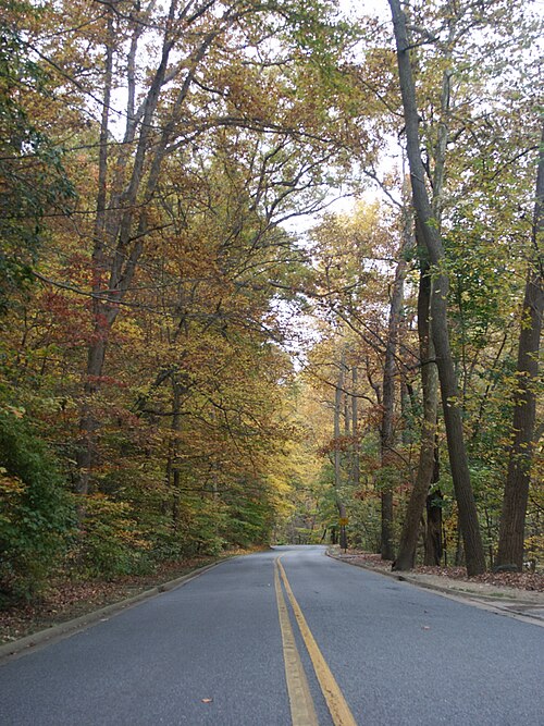
Route surroundings · Beach Drive in Rock Creek Park.jpg — Miketwo (talk) (Uploads) — Public domain (https://commons.wikimedia.org/wiki/File:Beach_Drive_in_Rock_Creek_Park.jpg) — https://commons.wikimedia.org/wiki/File:Beach_Drive_in_Rock_Creek_Park.jpg
)

Miketwo (talk) (Uploads)
Public domain
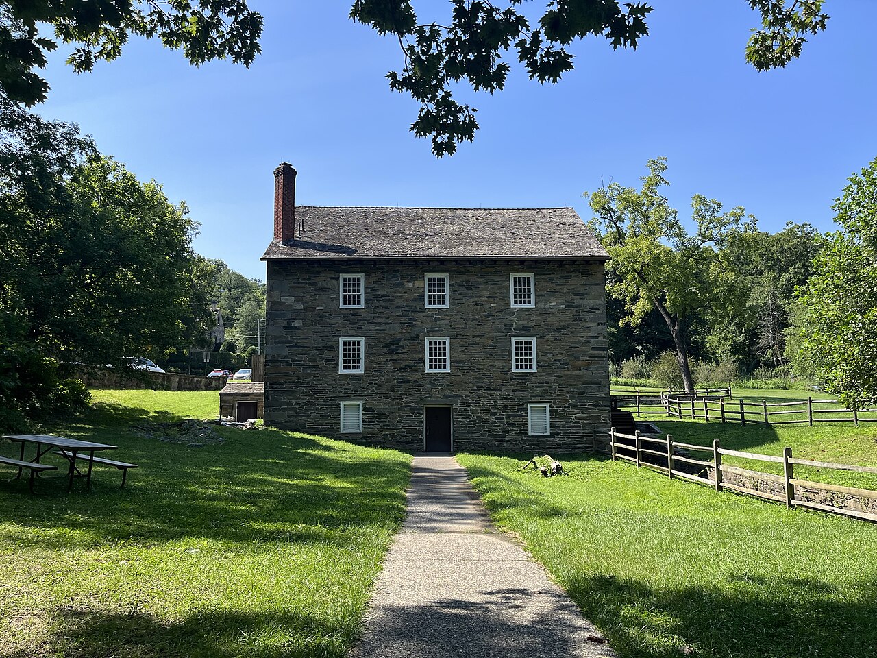
Route surroundings · Peirce Mill Front View.jpg — Cornflower123 — CC0 (http://creativecommons.org/publicdomain/zero/1.0/deed.en) — https://commons.wikimedia.org/wiki/File:Peirce_Mill_Front_View.jpg

Cornflower123
CC0
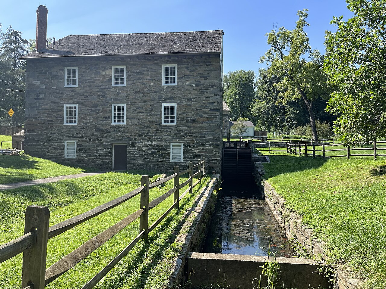
Route surroundings · Peirce Mill and Waterwheel.jpg — Cornflower123 — CC0 (http://creativecommons.org/publicdomain/zero/1.0/deed.en) — https://commons.wikimedia.org/wiki/File:Peirce_Mill_and_Waterwheel.jpg

Cornflower123
CC0
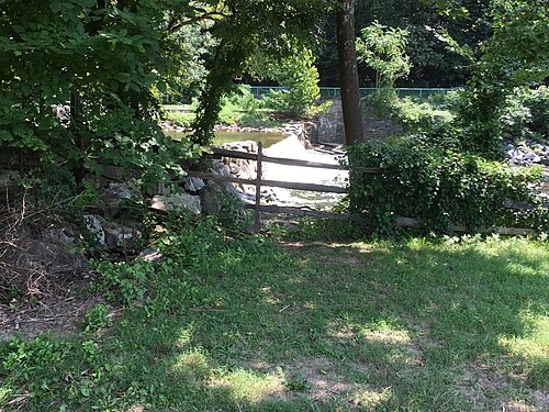
Route surroundings · Peirce Plantation Dam (7e4e383c-e673-482b-88f0-1481561dae1e).jpg — NPS Photo — Public domain (https://commons.wikimedia.org/wiki/File:Peirce_Plantation_Dam_(7e4e383c-e673-482b-88f0-1481561dae1e).jpg) — https://commons.wikimedia.org/wiki/File:Peirce_Plantation_Dam_(7e4e383c-e673-482b-88f0-1481561dae1e).jpg
)

NPS Photo
Public domain
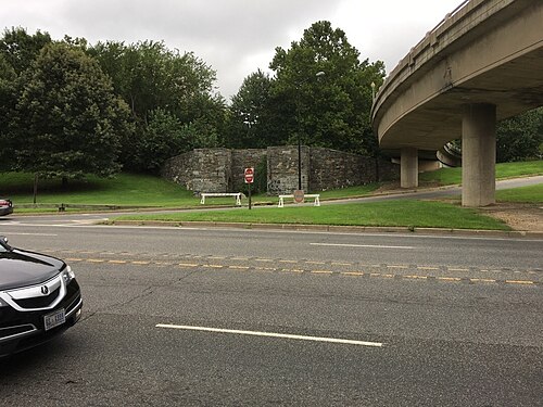
Route surroundings · Godey Lime Kilns (45d2abba-592e-4a4a-9fec-5218d12737e5).jpg — NPS Photo — Public domain (https://commons.wikimedia.org/wiki/File:Godey_Lime_Kilns_(45d2abba-592e-4a4a-9fec-5218d12737e5).jpg) — https://commons.wikimedia.org/wiki/File:Godey_Lime_Kilns_(45d2abba-592e-4a4a-9fec-5218d12737e5).jpg
)

NPS Photo
Public domain
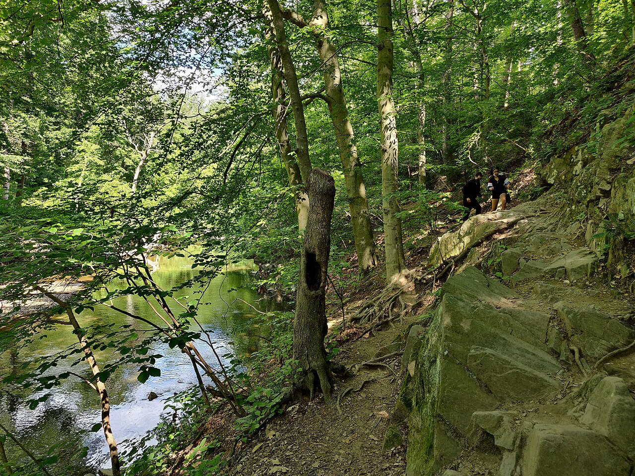
Route surroundings · Rock Creek Park trail.jpg — Sdkb — CC BY-SA 4.0 (https://creativecommons.org/licenses/by-sa/4.0) — https://commons.wikimedia.org/wiki/File:Rock_Creek_Park_trail.jpg

Sdkb
CC BY-SA 4.0
View original activity in YouVisible
Weather on your route
Loading forecast…
Sources and credits
© OpenStreetMap contributors · ODbL 1.0 · https://hiking.waymarkedtrails.org/#route?id=18384407
OpenStreetMap contributors · Waymarked Trails · ODbL 1.0
Route photograph
Route surroundings · Beach Drive in Rock Creek Park.jpg — Miketwo (talk) (Uploads) — Public domain (https://commons.wikimedia.org/wiki/File:Beach_Drive_in_Rock_Creek_Park.jpg) — https://commons.wikimedia.org/wiki/File:Beach_Drive_in_Rock_Creek_Park.jpg
Miketwo (talk) (Uploads) · Public domain · Media source
Route photograph
Route surroundings · Peirce Mill Front View.jpg — Cornflower123 — CC0 (http://creativecommons.org/publicdomain/zero/1.0/deed.en) — https://commons.wikimedia.org/wiki/File:Peirce_Mill_Front_View.jpg
Cornflower123 · CC0 · Media source
Route photograph
Route surroundings · Peirce Mill and Waterwheel.jpg — Cornflower123 — CC0 (http://creativecommons.org/publicdomain/zero/1.0/deed.en) — https://commons.wikimedia.org/wiki/File:Peirce_Mill_and_Waterwheel.jpg
Cornflower123 · CC0 · Media source
Route photograph
Route surroundings · Peirce Plantation Dam (7e4e383c-e673-482b-88f0-1481561dae1e).jpg — NPS Photo — Public domain (https://commons.wikimedia.org/wiki/File:Peirce_Plantation_Dam_(7e4e383c-e673-482b-88f0-1481561dae1e).jpg) — https://commons.wikimedia.org/wiki/File:Peirce_Plantation_Dam_(7e4e383c-e673-482b-88f0-1481561dae1e).jpg
NPS Photo · Public domain · Media source
Route photograph
Route surroundings · Godey Lime Kilns (45d2abba-592e-4a4a-9fec-5218d12737e5).jpg — NPS Photo — Public domain (https://commons.wikimedia.org/wiki/File:Godey_Lime_Kilns_(45d2abba-592e-4a4a-9fec-5218d12737e5).jpg) — https://commons.wikimedia.org/wiki/File:Godey_Lime_Kilns_(45d2abba-592e-4a4a-9fec-5218d12737e5).jpg
NPS Photo · Public domain · Media source
Route photograph
Route surroundings · Rock Creek Park trail.jpg — Sdkb — CC BY-SA 4.0 (https://creativecommons.org/licenses/by-sa/4.0) — https://commons.wikimedia.org/wiki/File:Rock_Creek_Park_trail.jpg
Sdkb · CC BY-SA 4.0 · Media source