Find your next route
Explore hiking, running, trail running and cycling routes that suit your plans.

Community route
Little Falls Trail · the mapped section towards Little River Falls
Follow the complete mapped section of Little Falls Trail north towards Little River Falls. Woodland beside the river canyon leads towards the falls area, where the river drops across a broad rock ledge. This reference preserves one complete OpenStreetMap way in its original direction. It is a partial trail section, not the full National Park Service out-and-back walk or the 137-step descent to Little Falls; no descent or return leg has been added. Photographs of Little River Falls illustrate the setting near the northern end.
By YouVisible Sport
Mapa del recorrido
Activity measurements
- distance meters
- 1,183.9832956547
- end · latitude
- 34.3943817
- end · longitude
- -85.6255441
- start · latitude
- 34.3917154
- start · longitude
- -85.6186283
- Sport
- walking
- Specialty
- walking outdoor
From start to finish
- Country
- United States
- Province / region
- —
- Localities
- Fort Payne
Before you go
- How to reach the start
- —
- Parking and access
- Use designated Little River Canyon National Preserve trail access. NPS reported a vehicle closure on Slant Rock Road in May 2026; that road is not part of this selected section. Published visitor information is general guidance, rather than confirmation that the entire route is open today. Check current park notices and on-site barriers; parking availability is unverified.
- Advice
- Stay away from cliff edges and swift water, respect warning signs and do not use archive photographs of swimmers as evidence that swimming is permitted or safe. Plan your return independently.
- Recommended equipment
- Footwear with grip, drinking water, weather protection and an offline map.
- Terrain
- Woodland footpath along the Little River canyon rim. The NPS grade for the full Little Falls walk is not assigned as a normalized score to this partial section.
- Signage
- —
Characteristics and difficulty
- Estimated duration
- —
- Author perceived effort
- —
- Physical difficulty
- —
- Technical difficulty
- —
About the route
Follow the complete mapped section of Little Falls Trail north towards Little River Falls. Woodland beside the river canyon leads towards the falls area, where the river drops across a broad rock ledge. This reference preserves one complete OpenStreetMap way in its original direction. It is a partial trail section, not the full National Park Service out-and-back walk or the 137-step descent to Little Falls; no descent or return leg has been added. Photographs of Little River Falls illustrate the setting near the northern end.
- Context
- —
- Specialty
- walking outdoor
- Event type
- —
- Description
- Views of the route and the places that give it character. These are archive photographs and do not establish current path conditions.
- Title
- Route highlights
- Title
- Sesión
- Description
- Follow the complete mapped section of Little Falls Trail north towards Little River Falls. Woodland beside the river canyon leads towards the falls area, where the river drops across a broad rock ledge. This reference preserves one complete OpenStreetMap way in its original direction. It is a partial trail section, not the full National Park Service out-and-back walk or the 137-step descent to Little Falls; no descent or return leg has been added. Photographs of Little River Falls illustrate the setting near the northern end.
- Description
- Little River Falls in the landscape near the northern end of the reference. People in this archive photograph do not establish that swimming is permitted or safe.
- Title
- Little River Falls
- Description
- A broad view of Little River Falls; the photograph does not extend the mapped section down to the river.
- Title
- The falls across the rock ledge
- Description
- Little River Falls and the road bridge above the river.
- Title
- River, falls and bridge
- Description
- Little River flowing over the falls in an archive view.
- Title
- Water over the ledge
- Description
- A closer view of the ledge at Little River Falls. Keep to designated viewpoints and current safety signs.
- Title
- Rock and white water
- Description
- The AL35 bridge beside Little River Falls, as landscape context at the northern end.
- Title
- The bridge above the river
- Description
- Little River Falls in the landscape near the northern end of the reference. People in this archive photograph do not establish that swimming is permitted or safe.
- Title
- Little River Falls
- Description
- A broad view of Little River Falls; the photograph does not extend the mapped section down to the river.
- Title
- The falls across the rock ledge
- Description
- Little River Falls and the road bridge above the river.
- Title
- River, falls and bridge
- Description
- Little River flowing over the falls in an archive view.
- Title
- Water over the ledge
- Description
- A closer view of the ledge at Little River Falls. Keep to designated viewpoints and current safety signs.
- Title
- Rock and white water
- Description
- The AL35 bridge beside Little River Falls, as landscape context at the northern end.
- Title
- The bridge above the river
- Advice
- Stay away from cliff edges and swift water, respect warning signs and do not use archive photographs of swimmers as evidence that swimming is permitted or safe. Plan your return independently.
- Parking and access
- Use designated Little River Canyon National Preserve trail access. NPS reported a vehicle closure on Slant Rock Road in May 2026; that road is not part of this selected section. Published visitor information is general guidance, rather than confirmation that the entire route is open today. Check current park notices and on-site barriers; parking availability is unverified.
- Recommended equipment
- Footwear with grip, drinking water, weather protection and an offline map.
- Terrain
- Woodland footpath along the Little River canyon rim. The NPS grade for the full Little Falls walk is not assigned as a normalized score to this partial section.
- Title
- Little Falls Trail · the mapped section towards Little River Falls
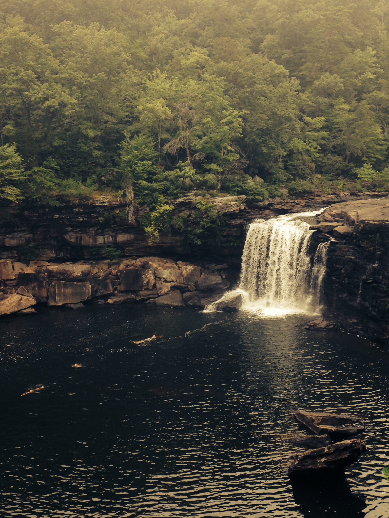
Little River Falls w/Swimmers — Shannon McGee — CC BY-SA 2.0 — https://www.flickr.com/photos/7830943@N03/14523340030/
Shannon McGee
CC BY-SA 2.0
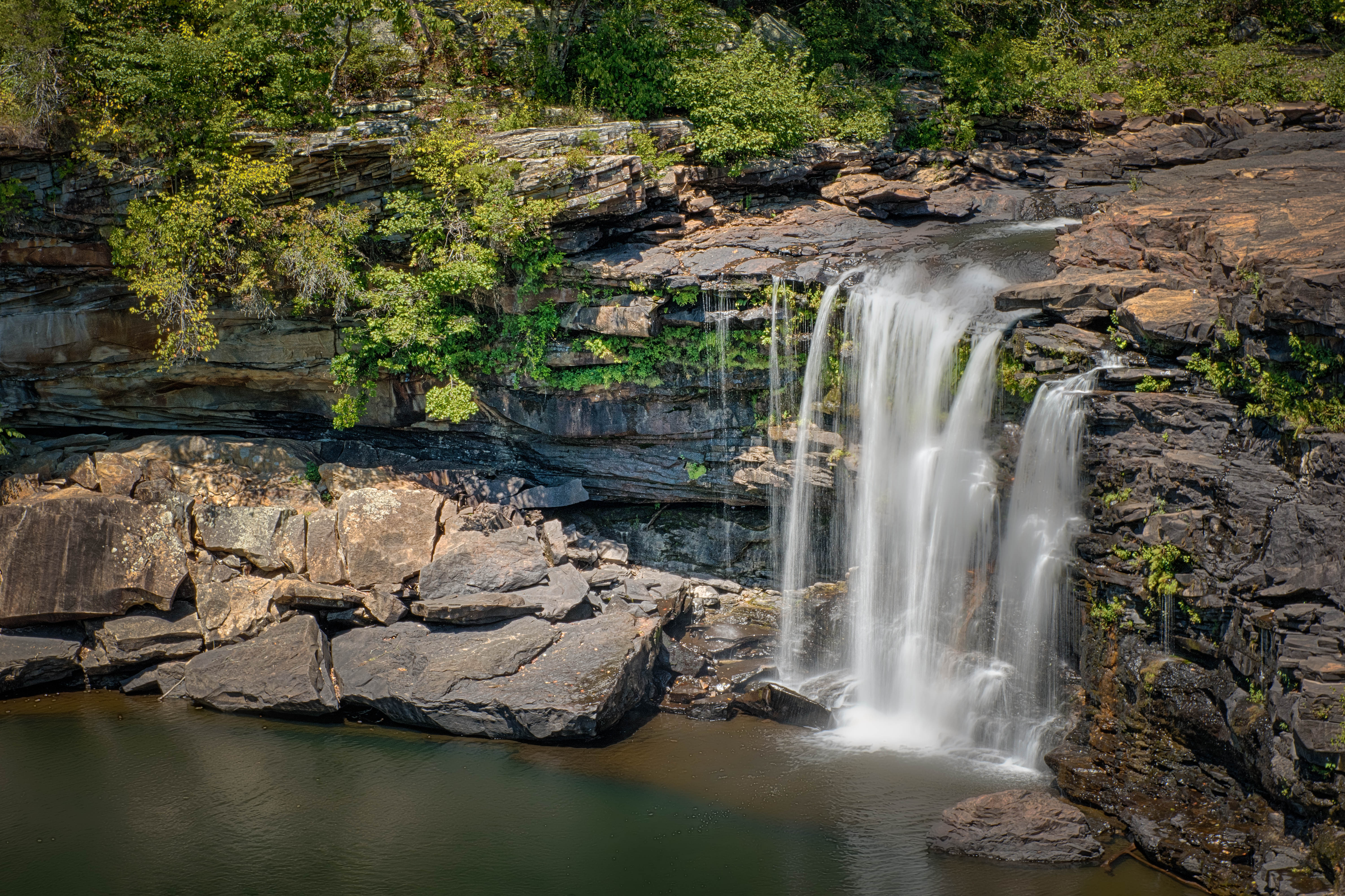
Little River Falls — Jody Claborn — Public domain — https://www.flickr.com/photos/130478877@N02/20045147278/
Jody Claborn
Public domain
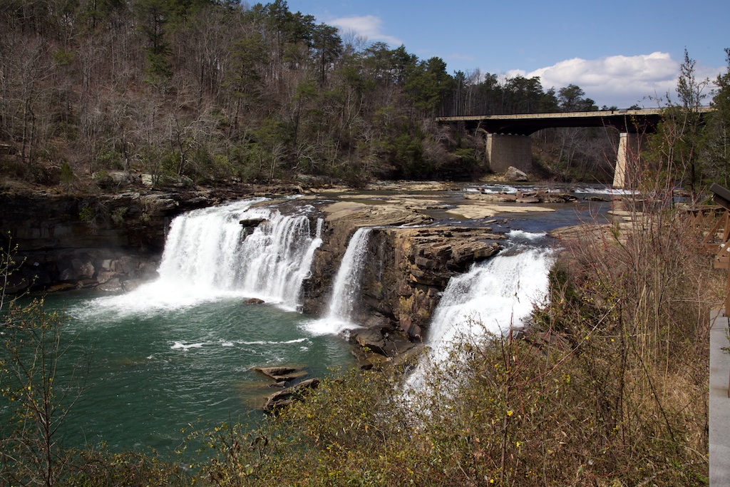
Little River Falls — David Brossard — CC BY-SA 2.0 — https://www.flickr.com/photos/16069488@N00/27396044380/
David Brossard
CC BY-SA 2.0
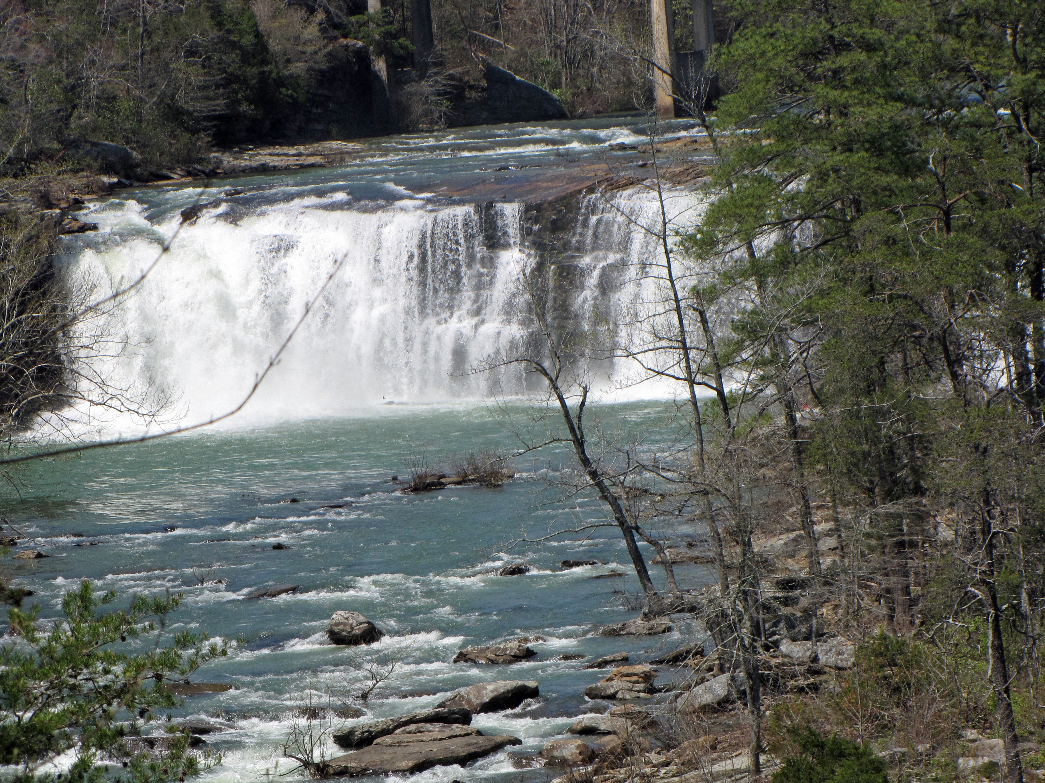
Little river canyon falls in Alabama — The_Gut — CC BY 2.0 — https://www.flickr.com/photos/60704492@N00/3436126887/
The_Gut
CC BY 2.0
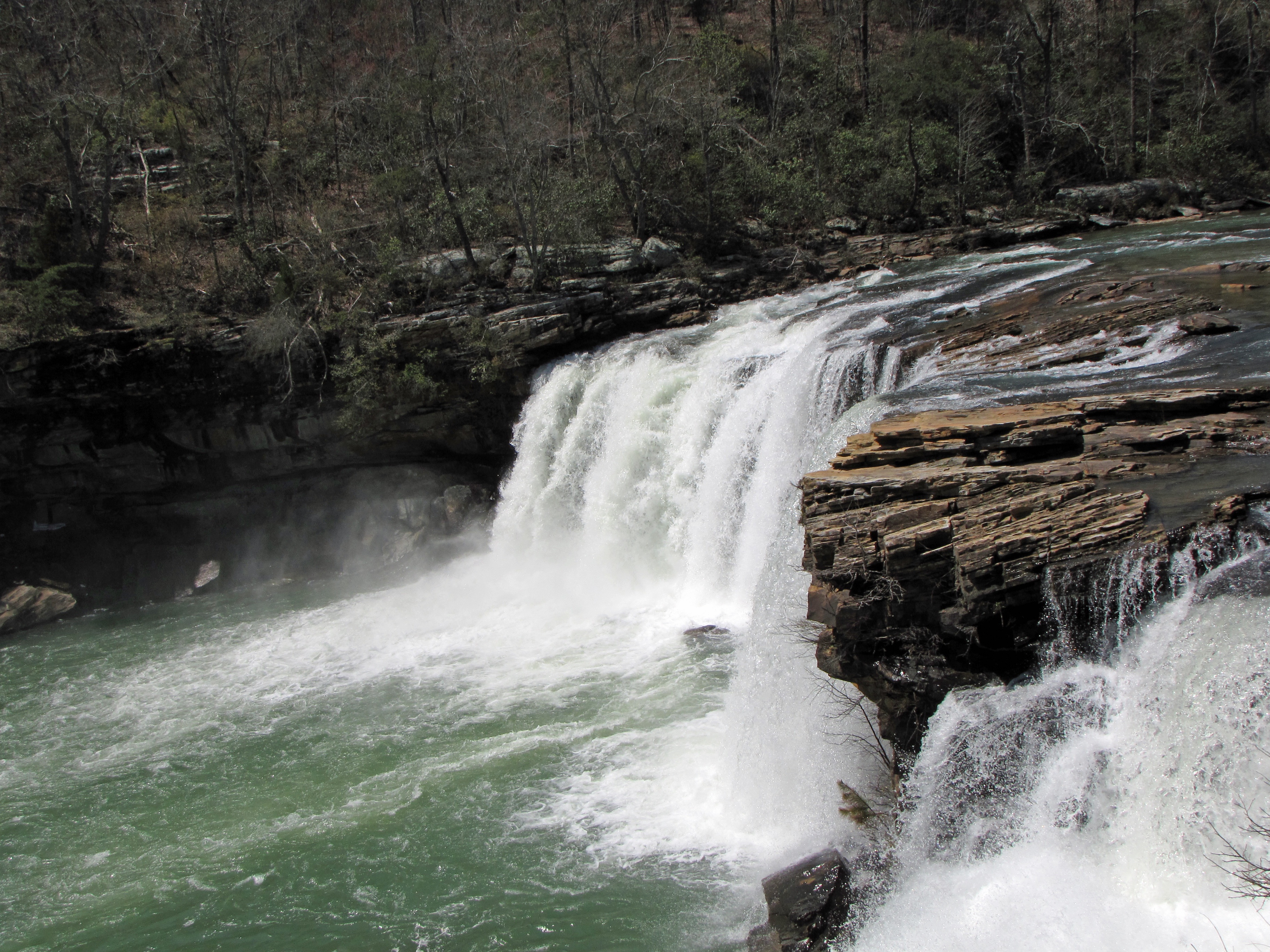
Little River Falls. — The_Gut — CC BY 2.0 — https://www.flickr.com/photos/60704492@N00/3436931476/
The_Gut
CC BY 2.0
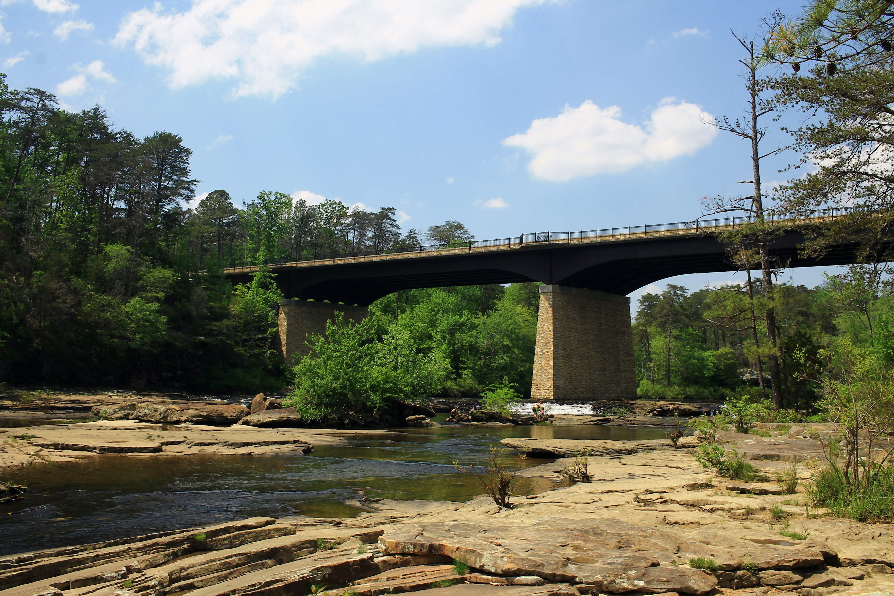
Little River Falls - AL35 Bridge — formulanone — CC BY-SA 2.0 — https://www.flickr.com/photos/30552029@N00/48967703556/
formulanone
CC BY-SA 2.0
View original activity in YouVisible
Weather on your route
Loading forecast…
Sources and credits
© OpenStreetMap contributors. Open Database License (ODbL) 1.0 — https://www.openstreetmap.org/copyright — https://opendatacommons.org/licenses/odbl/1-0/. Complete selected ways converted faithfully to GPX; geometry remains under ODbL 1.0. Photographs have separate individual licences.
OpenStreetMap contributors · OpenStreetMap ways · ODbL 1.0
Little River Falls
Little River Falls w/Swimmers — Shannon McGee — CC BY-SA 2.0 — https://www.flickr.com/photos/7830943@N03/14523340030/
Shannon McGee · CC BY-SA 2.0 · Media source
The falls across the rock ledge
Little River Falls — Jody Claborn — Public domain — https://www.flickr.com/photos/130478877@N02/20045147278/
Jody Claborn · Public domain · Media source
River, falls and bridge
Little River Falls — David Brossard — CC BY-SA 2.0 — https://www.flickr.com/photos/16069488@N00/27396044380/
David Brossard · CC BY-SA 2.0 · Media source
Water over the ledge
Little river canyon falls in Alabama — The_Gut — CC BY 2.0 — https://www.flickr.com/photos/60704492@N00/3436126887/
The_Gut · CC BY 2.0 · Media source
Rock and white water
Little River Falls. — The_Gut — CC BY 2.0 — https://www.flickr.com/photos/60704492@N00/3436931476/
The_Gut · CC BY 2.0 · Media source
The bridge above the river
Little River Falls - AL35 Bridge — formulanone — CC BY-SA 2.0 — https://www.flickr.com/photos/30552029@N00/48967703556/
formulanone · CC BY-SA 2.0 · Media source