Find your next route
Explore hiking, running, trail running and cycling routes that suit your plans.

Community route
Ocala · Sinkhole Trail walking loop
Complete published walking loop on Sinkhole Trail in the Ocala area. The gallery shows identifiable places in nearby Ocala as regional surroundings, rather than photographs of this trail. Canonical track distance: 3.352 km.
By YouVisible Sport
Mapa del recorrido
Perfil de elevación
Activity measurements
- distance meters
- 3,351.6083070987
- elevation gain meters
- 72.8
- elevation loss meters
- 69.4
- max elevation meters
- 31
- min elevation meters
- 13.9
- end · latitude
- 29.200692
- end · longitude
- -82.036881
- start · latitude
- 29.200981
- start · longitude
- -82.034783
- Sport
- hiking mountaineering
- Specialty
- Hiking
From start to finish
- Country
- United States
- Province / region
- —
- Localities
- —
Before you go
- How to reach the start
- —
- Parking and access
- —
- Advice
- Guide + verified export. Follow local walking access and posted closures. The urban photographs do not identify points on the trail. Native GPX elevations are retained; they are not measurements performed by YouVisible. Photographs are labelled “Route surroundings” and do not imply camera locations on the track.
- Recommended equipment
- —
- Terrain
- —
- Signage
- —
Characteristics and difficulty
- Estimated duration
- —
- Author perceived effort
- —
- Physical difficulty
- —
- Technical difficulty
- —
About the route
Complete published walking loop on Sinkhole Trail in the Ocala area. The gallery shows identifiable places in nearby Ocala as regional surroundings, rather than photographs of this trail. Canonical track distance: 3.352 km.
- Context
- —
- Specialty
- Hiking
- Event type
- —
- Description
- Route surroundings · real photographs with individual author and licence credits.
- Title
- Route highlights
- Title
- Sesión
- Description
- Complete published walking loop on Sinkhole Trail in the Ocala area. The gallery shows identifiable places in nearby Ocala as regional surroundings, rather than photographs of this trail. Canonical track distance: 3.352 km.
- Description
- Route surroundings · West Ocala Hist Dist09.jpg. Photograph of the identified place or its documented surroundings; no position on the track is implied.
- Title
- Route surroundings · West Ocala Hist Dist09.jpg
- Description
- Route surroundings · Ocala Historic District053.jpg. Photograph of the identified place or its documented surroundings; no position on the track is implied.
- Title
- Route surroundings · Ocala Historic District053.jpg
- Description
- Route surroundings · Ocala Marion County Veterans Memorial Park Meditation Pavilion.jpg. Photograph of the identified place or its documented surroundings; no position on the track is implied.
- Title
- Route surroundings · Ocala Marion County Veterans Memorial Park Meditation Pavilion.jpg
- Description
- Route surroundings · Ocala city hall06.jpg. Photograph of the identified place or its documented surroundings; no position on the track is implied.
- Title
- Route surroundings · Ocala city hall06.jpg
- Description
- Route surroundings · Ocala Historic District FK723-2.jpg. Photograph of the identified place or its documented surroundings; no position on the track is implied.
- Title
- Route surroundings · Ocala Historic District FK723-2.jpg
- Description
- Route surroundings · Ocala Historic District FK943-4.jpg. Photograph of the identified place or its documented surroundings; no position on the track is implied.
- Title
- Route surroundings · Ocala Historic District FK943-4.jpg
- Description
- Route surroundings · West Ocala Hist Dist09.jpg. Photograph of the identified place or its documented surroundings; no position on the track is implied.
- Title
- Route surroundings · West Ocala Hist Dist09.jpg
- Description
- Route surroundings · Ocala Historic District053.jpg. Photograph of the identified place or its documented surroundings; no position on the track is implied.
- Title
- Route surroundings · Ocala Historic District053.jpg
- Description
- Route surroundings · Ocala Marion County Veterans Memorial Park Meditation Pavilion.jpg. Photograph of the identified place or its documented surroundings; no position on the track is implied.
- Title
- Route surroundings · Ocala Marion County Veterans Memorial Park Meditation Pavilion.jpg
- Description
- Route surroundings · Ocala city hall06.jpg. Photograph of the identified place or its documented surroundings; no position on the track is implied.
- Title
- Route surroundings · Ocala city hall06.jpg
- Description
- Route surroundings · Ocala Historic District FK723-2.jpg. Photograph of the identified place or its documented surroundings; no position on the track is implied.
- Title
- Route surroundings · Ocala Historic District FK723-2.jpg
- Description
- Route surroundings · Ocala Historic District FK943-4.jpg. Photograph of the identified place or its documented surroundings; no position on the track is implied.
- Title
- Route surroundings · Ocala Historic District FK943-4.jpg
- Advice
- Guide + verified export. Follow local walking access and posted closures. The urban photographs do not identify points on the trail. Native GPX elevations are retained; they are not measurements performed by YouVisible. Photographs are labelled “Route surroundings” and do not imply camera locations on the track.
- Title
- Ocala · Sinkhole Trail walking loop
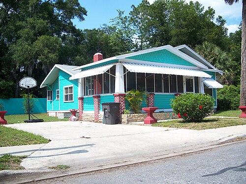
Route surroundings · West Ocala Hist Dist01.jpg — Ebyabe — CC BY 2.5 (https://creativecommons.org/licenses/by/2.5) — https://commons.wikimedia.org/wiki/File:West_Ocala_Hist_Dist01.jpg

Ebyabe
CC BY 2.5
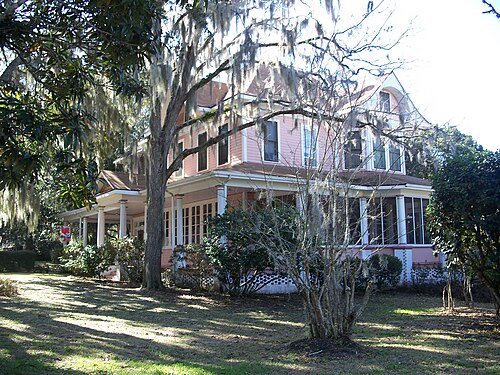
Route surroundings · Ocala Historic District007d.jpg — Ebyabe — CC BY-SA 2.5 (https://creativecommons.org/licenses/by-sa/2.5) — https://commons.wikimedia.org/wiki/File:Ocala_Historic_District007d.jpg

Ebyabe
CC BY-SA 2.5
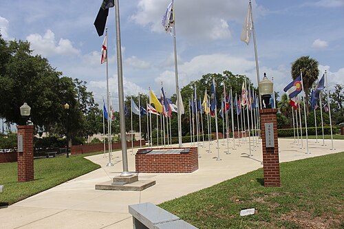
Route surroundings · Ocala Marion County Veterans Memorial Park Flagpoles East face.jpg — Mjrmtg — CC BY 4.0 (https://creativecommons.org/licenses/by/4.0) — https://commons.wikimedia.org/wiki/File:Ocala_Marion_County_Veterans_Memorial_Park_Flagpoles_East_face.jpg

Mjrmtg
CC BY 4.0
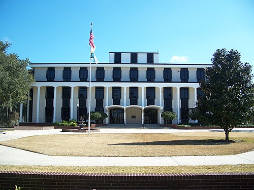
Route surroundings · Ocala city hall01.jpg — Ebyabe — CC BY-SA 2.5 (https://creativecommons.org/licenses/by-sa/2.5) — https://commons.wikimedia.org/wiki/File:Ocala_city_hall01.jpg

Ebyabe
CC BY-SA 2.5
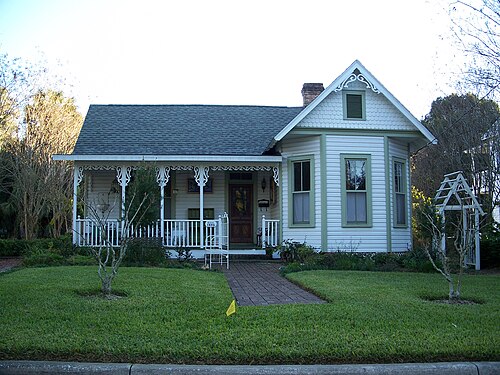
Route surroundings · Ocala Historic District030.jpg — Ebyabe — CC BY 2.5 (https://creativecommons.org/licenses/by/2.5) — https://commons.wikimedia.org/wiki/File:Ocala_Historic_District030.jpg

Ebyabe
CC BY 2.5
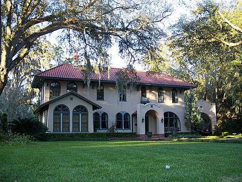
Route surroundings · Ocala Historic District033b.jpg — Ebyabe — CC BY 2.5 (https://creativecommons.org/licenses/by/2.5) — https://commons.wikimedia.org/wiki/File:Ocala_Historic_District033b.jpg

Ebyabe
CC BY 2.5
View original activity in YouVisible
Weather on your route
Loading forecast…
Sources and credits
Outdooractive Creative Commons · CC0 1.0 · https://www.outdooractive.com/r/808575103
Outdooractive · Creative Commons Routes · CC0 1.0
Route photograph
Route surroundings · West Ocala Hist Dist01.jpg — Ebyabe — CC BY 2.5 (https://creativecommons.org/licenses/by/2.5) — https://commons.wikimedia.org/wiki/File:West_Ocala_Hist_Dist01.jpg
Ebyabe · CC BY 2.5 · Media source
Route photograph
Route surroundings · Ocala Historic District007d.jpg — Ebyabe — CC BY-SA 2.5 (https://creativecommons.org/licenses/by-sa/2.5) — https://commons.wikimedia.org/wiki/File:Ocala_Historic_District007d.jpg
Ebyabe · CC BY-SA 2.5 · Media source
Route photograph
Route surroundings · Ocala Marion County Veterans Memorial Park Flagpoles East face.jpg — Mjrmtg — CC BY 4.0 (https://creativecommons.org/licenses/by/4.0) — https://commons.wikimedia.org/wiki/File:Ocala_Marion_County_Veterans_Memorial_Park_Flagpoles_East_face.jpg
Mjrmtg · CC BY 4.0 · Media source
Route photograph
Route surroundings · Ocala city hall01.jpg — Ebyabe — CC BY-SA 2.5 (https://creativecommons.org/licenses/by-sa/2.5) — https://commons.wikimedia.org/wiki/File:Ocala_city_hall01.jpg
Ebyabe · CC BY-SA 2.5 · Media source
Route photograph
Route surroundings · Ocala Historic District030.jpg — Ebyabe — CC BY 2.5 (https://creativecommons.org/licenses/by/2.5) — https://commons.wikimedia.org/wiki/File:Ocala_Historic_District030.jpg
Ebyabe · CC BY 2.5 · Media source
Route photograph
Route surroundings · Ocala Historic District033b.jpg — Ebyabe — CC BY 2.5 (https://creativecommons.org/licenses/by/2.5) — https://commons.wikimedia.org/wiki/File:Ocala_Historic_District033b.jpg
Ebyabe · CC BY 2.5 · Media source