Find your next route
Explore hiking, running, trail running and cycling routes that suit your plans.

Community route
Santos · Walking route to Fisher Cemetery and back
Complete published walking route from the Santos area towards Fisher Cemetery and back. The gallery illustrates nearby Ocala as regional surroundings; its buildings are not presented as points on the walking route. Canonical track distance: 9.601 km.
By YouVisible Sport
Mapa del recorrido
Perfil de elevación
Activity measurements
- distance meters
- 9,600.9676151768
- elevation gain meters
- 268.9
- elevation loss meters
- 271.8
- max elevation meters
- 43
- min elevation meters
- 14.1
- end · latitude
- 29.105802
- end · longitude
- -82.094204
- start · latitude
- 29.105594
- start · longitude
- -82.094283
- Sport
- hiking mountaineering
- Specialty
- Hiking
From start to finish
- Country
- United States
- Province / region
- —
- Localities
- —
Before you go
- How to reach the start
- —
- Parking and access
- —
- Advice
- Guide + verified export. Respect the signs for walking, cycling and equestrian trails and any local closures. Native GPX elevations are retained; they are not measurements performed by YouVisible. Photographs are labelled “Route surroundings” and do not imply camera locations on the track.
- Recommended equipment
- —
- Terrain
- —
- Signage
- —
Characteristics and difficulty
- Estimated duration
- —
- Author perceived effort
- —
- Physical difficulty
- —
- Technical difficulty
- —
About the route
Complete published walking route from the Santos area towards Fisher Cemetery and back. The gallery illustrates nearby Ocala as regional surroundings; its buildings are not presented as points on the walking route. Canonical track distance: 9.601 km.
- Context
- —
- Specialty
- Hiking
- Event type
- —
- Description
- Route surroundings · real photographs with individual author and licence credits.
- Title
- Route highlights
- Title
- Sesión
- Description
- Complete published walking route from the Santos area towards Fisher Cemetery and back. The gallery illustrates nearby Ocala as regional surroundings; its buildings are not presented as points on the walking route. Canonical track distance: 9.601 km.
- Description
- Route surroundings · West Ocala Hist Dist09.jpg. Photograph of the identified place or its documented surroundings; no position on the track is implied.
- Title
- Route surroundings · West Ocala Hist Dist09.jpg
- Description
- Route surroundings · Ocala Historic District053.jpg. Photograph of the identified place or its documented surroundings; no position on the track is implied.
- Title
- Route surroundings · Ocala Historic District053.jpg
- Description
- Route surroundings · Ocala Marion County Veterans Memorial Park Meditation Pavilion.jpg. Photograph of the identified place or its documented surroundings; no position on the track is implied.
- Title
- Route surroundings · Ocala Marion County Veterans Memorial Park Meditation Pavilion.jpg
- Description
- Route surroundings · Ocala city hall06.jpg. Photograph of the identified place or its documented surroundings; no position on the track is implied.
- Title
- Route surroundings · Ocala city hall06.jpg
- Description
- Route surroundings · Ocala Historic District FK723-2.jpg. Photograph of the identified place or its documented surroundings; no position on the track is implied.
- Title
- Route surroundings · Ocala Historic District FK723-2.jpg
- Description
- Route surroundings · Ocala Historic District FK943-4.jpg. Photograph of the identified place or its documented surroundings; no position on the track is implied.
- Title
- Route surroundings · Ocala Historic District FK943-4.jpg
- Description
- Route surroundings · West Ocala Hist Dist09.jpg. Photograph of the identified place or its documented surroundings; no position on the track is implied.
- Title
- Route surroundings · West Ocala Hist Dist09.jpg
- Description
- Route surroundings · Ocala Historic District053.jpg. Photograph of the identified place or its documented surroundings; no position on the track is implied.
- Title
- Route surroundings · Ocala Historic District053.jpg
- Description
- Route surroundings · Ocala Marion County Veterans Memorial Park Meditation Pavilion.jpg. Photograph of the identified place or its documented surroundings; no position on the track is implied.
- Title
- Route surroundings · Ocala Marion County Veterans Memorial Park Meditation Pavilion.jpg
- Description
- Route surroundings · Ocala city hall06.jpg. Photograph of the identified place or its documented surroundings; no position on the track is implied.
- Title
- Route surroundings · Ocala city hall06.jpg
- Description
- Route surroundings · Ocala Historic District FK723-2.jpg. Photograph of the identified place or its documented surroundings; no position on the track is implied.
- Title
- Route surroundings · Ocala Historic District FK723-2.jpg
- Description
- Route surroundings · Ocala Historic District FK943-4.jpg. Photograph of the identified place or its documented surroundings; no position on the track is implied.
- Title
- Route surroundings · Ocala Historic District FK943-4.jpg
- Advice
- Guide + verified export. Respect the signs for walking, cycling and equestrian trails and any local closures. Native GPX elevations are retained; they are not measurements performed by YouVisible. Photographs are labelled “Route surroundings” and do not imply camera locations on the track.
- Title
- Santos · Walking route to Fisher Cemetery and back
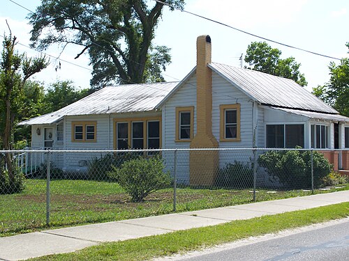
Route surroundings · West Ocala Hist Dist03.jpg — Ebyabe — CC BY 2.5 (https://creativecommons.org/licenses/by/2.5) — https://commons.wikimedia.org/wiki/File:West_Ocala_Hist_Dist03.jpg

Ebyabe
CC BY 2.5
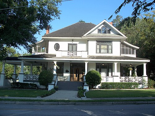
Route surroundings · Ocala Historic District046.jpg — Ebyabe — CC BY 2.5 (https://creativecommons.org/licenses/by/2.5) — https://commons.wikimedia.org/wiki/File:Ocala_Historic_District046.jpg

Ebyabe
CC BY 2.5
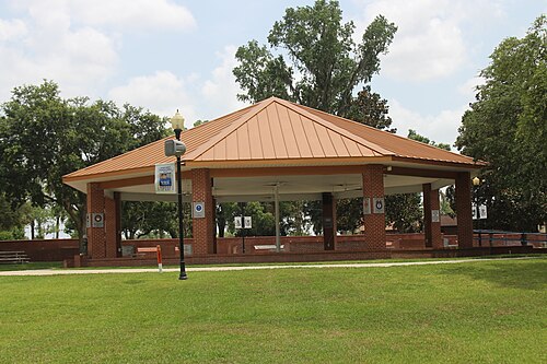
Route surroundings · Ocala Marion County Veterans Memorial Park Large Pavilion.jpg — Mjrmtg — CC BY 4.0 (https://creativecommons.org/licenses/by/4.0) — https://commons.wikimedia.org/wiki/File:Ocala_Marion_County_Veterans_Memorial_Park_Large_Pavilion.jpg

Mjrmtg
CC BY 4.0
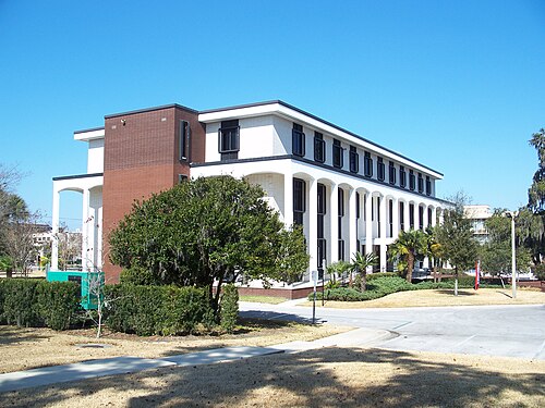
Route surroundings · Ocala city hall04.jpg — Ebyabe — CC BY-SA 2.5 (https://creativecommons.org/licenses/by-sa/2.5) — https://commons.wikimedia.org/wiki/File:Ocala_city_hall04.jpg

Ebyabe
CC BY-SA 2.5
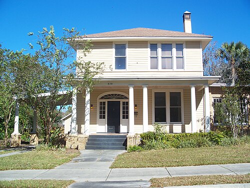
Route surroundings · Ocala Historic District008b.jpg — Ebyabe — CC BY-SA 3.0 (http://creativecommons.org/licenses/by-sa/3.0/) — https://commons.wikimedia.org/wiki/File:Ocala_Historic_District008b.jpg

Ebyabe
CC BY-SA 3.0
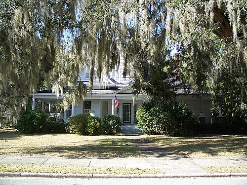
Route surroundings · Ocala Historic District006c.jpg — Ebyabe — CC BY-SA 2.5 (https://creativecommons.org/licenses/by-sa/2.5) — https://commons.wikimedia.org/wiki/File:Ocala_Historic_District006c.jpg

Ebyabe
CC BY-SA 2.5
View original activity in YouVisible
Weather on your route
Loading forecast…
Sources and credits
Outdooractive Creative Commons · CC0 1.0 · https://www.outdooractive.com/r/808324538
Outdooractive · Creative Commons Routes · CC0 1.0
Route photograph
Route surroundings · West Ocala Hist Dist03.jpg — Ebyabe — CC BY 2.5 (https://creativecommons.org/licenses/by/2.5) — https://commons.wikimedia.org/wiki/File:West_Ocala_Hist_Dist03.jpg
Ebyabe · CC BY 2.5 · Media source
Route photograph
Route surroundings · Ocala Historic District046.jpg — Ebyabe — CC BY 2.5 (https://creativecommons.org/licenses/by/2.5) — https://commons.wikimedia.org/wiki/File:Ocala_Historic_District046.jpg
Ebyabe · CC BY 2.5 · Media source
Route photograph
Route surroundings · Ocala Marion County Veterans Memorial Park Large Pavilion.jpg — Mjrmtg — CC BY 4.0 (https://creativecommons.org/licenses/by/4.0) — https://commons.wikimedia.org/wiki/File:Ocala_Marion_County_Veterans_Memorial_Park_Large_Pavilion.jpg
Mjrmtg · CC BY 4.0 · Media source
Route photograph
Route surroundings · Ocala city hall04.jpg — Ebyabe — CC BY-SA 2.5 (https://creativecommons.org/licenses/by-sa/2.5) — https://commons.wikimedia.org/wiki/File:Ocala_city_hall04.jpg
Ebyabe · CC BY-SA 2.5 · Media source
Route photograph
Route surroundings · Ocala Historic District008b.jpg — Ebyabe — CC BY-SA 3.0 (http://creativecommons.org/licenses/by-sa/3.0/) — https://commons.wikimedia.org/wiki/File:Ocala_Historic_District008b.jpg
Ebyabe · CC BY-SA 3.0 · Media source
Route photograph
Route surroundings · Ocala Historic District006c.jpg — Ebyabe — CC BY-SA 2.5 (https://creativecommons.org/licenses/by-sa/2.5) — https://commons.wikimedia.org/wiki/File:Ocala_Historic_District006c.jpg
Ebyabe · CC BY-SA 2.5 · Media source