Find your next route
Explore hiking, running, trail running and cycling routes that suit your plans.

Community route
Muckross Lake · Complete lake walk
A full source-preserved walk around Muckross Lake in Killarney National Park. The source contains two exactly connected native segments; no missing link has been invented. The gallery shows the lake and its surrounding landscape. Canonical track distance: 12.492 km.
By YouVisible Sport
Mapa del recorrido
Activity measurements
- distance meters
- 12,491.9687800533
- end · latitude
- 52.0100093
- end · longitude
- -9.5072648
- start · latitude
- 52.0192047
- start · longitude
- -9.5021434
- Sport
- hiking mountaineering
- Specialty
- Hiking
From start to finish
- Country
- Ireland
- Province / region
- —
- Localities
- —
Before you go
- How to reach the start
- —
- Parking and access
- —
- Advice
- YouVisible Guide only. Garmin export is unavailable: the original source contains no elevations and preserves multiple native track segments; Garmin cannot confirm export continuity. Follow the national park walking routes and current notices. The mapped circuit includes its original road links: take particular care near the N71. Do not infer a traffic-free circuit or a measured walking duration. All gallery photographs are labelled “Route surroundings”; camera positions on the track are not asserted. No measured completion time is supplied.
- Recommended equipment
- —
- Terrain
- —
- Signage
- —
Characteristics and difficulty
- Estimated duration
- —
- Author perceived effort
- —
- Physical difficulty
- —
- Technical difficulty
- —
About the route
A full source-preserved walk around Muckross Lake in Killarney National Park. The source contains two exactly connected native segments; no missing link has been invented. The gallery shows the lake and its surrounding landscape. Canonical track distance: 12.492 km.
- Context
- —
- Specialty
- Hiking
- Event type
- —
- Description
- Six real photographs with individual authorship and licences.
- Title
- Route surroundings
- Title
- Sesión
- Description
- A full source-preserved walk around Muckross Lake in Killarney National Park. The source contains two exactly connected native segments; no missing link has been invented. The gallery shows the lake and its surrounding landscape. Canonical track distance: 12.492 km.
- Description
- Route surroundings · Brickeen Bridge, Muckross Lake - geograph.org.uk - 6427834.jpg. Photograph of the named place or its accredited surroundings; no camera position on the track is asserted.
- Title
- Route surroundings · Brickeen Bridge, Muckross Lake - geograph.org.uk - 6427834.jpg
- Description
- Route surroundings · Muckross Lake - Killarney National Park 003.jpg. Photograph of the named place or its accredited surroundings; no camera position on the track is asserted.
- Title
- Route surroundings · Muckross Lake - Killarney National Park 003.jpg
- Description
- Route surroundings · Muckross Lake - Killarney National Park 004.jpg. Photograph of the named place or its accredited surroundings; no camera position on the track is asserted.
- Title
- Route surroundings · Muckross Lake - Killarney National Park 004.jpg
- Description
- Route surroundings · Muckross Lake - Killarney National Park 006.jpg. Photograph of the named place or its accredited surroundings; no camera position on the track is asserted.
- Title
- Route surroundings · Muckross Lake - Killarney National Park 006.jpg
- Description
- Route surroundings · Muckross Lake July 2023.jpg. Photograph of the named place or its accredited surroundings; no camera position on the track is asserted.
- Title
- Route surroundings · Muckross Lake July 2023.jpg
- Description
- Route surroundings · Lakeshore, Muckross Lake, Killarney - geograph.org.uk - 1243353.jpg. Photograph of the named place or its accredited surroundings; no camera position on the track is asserted.
- Title
- Route surroundings · Lakeshore, Muckross Lake, Killarney - geograph.org.uk - 1243353.jpg
- Description
- Route surroundings · Brickeen Bridge, Muckross Lake - geograph.org.uk - 6427834.jpg. Photograph of the named place or its accredited surroundings; no camera position on the track is asserted.
- Title
- Route surroundings · Brickeen Bridge, Muckross Lake - geograph.org.uk - 6427834.jpg
- Description
- Route surroundings · Muckross Lake - Killarney National Park 003.jpg. Photograph of the named place or its accredited surroundings; no camera position on the track is asserted.
- Title
- Route surroundings · Muckross Lake - Killarney National Park 003.jpg
- Description
- Route surroundings · Muckross Lake - Killarney National Park 004.jpg. Photograph of the named place or its accredited surroundings; no camera position on the track is asserted.
- Title
- Route surroundings · Muckross Lake - Killarney National Park 004.jpg
- Description
- Route surroundings · Muckross Lake - Killarney National Park 006.jpg. Photograph of the named place or its accredited surroundings; no camera position on the track is asserted.
- Title
- Route surroundings · Muckross Lake - Killarney National Park 006.jpg
- Description
- Route surroundings · Muckross Lake July 2023.jpg. Photograph of the named place or its accredited surroundings; no camera position on the track is asserted.
- Title
- Route surroundings · Muckross Lake July 2023.jpg
- Description
- Route surroundings · Lakeshore, Muckross Lake, Killarney - geograph.org.uk - 1243353.jpg. Photograph of the named place or its accredited surroundings; no camera position on the track is asserted.
- Title
- Route surroundings · Lakeshore, Muckross Lake, Killarney - geograph.org.uk - 1243353.jpg
- Advice
- YouVisible Guide only. Garmin export is unavailable: the original source contains no elevations and preserves multiple native track segments; Garmin cannot confirm export continuity. Follow the national park walking routes and current notices. The mapped circuit includes its original road links: take particular care near the N71. Do not infer a traffic-free circuit or a measured walking duration. All gallery photographs are labelled “Route surroundings”; camera positions on the track are not asserted. No measured completion time is supplied.
- Title
- Muckross Lake · Complete lake walk
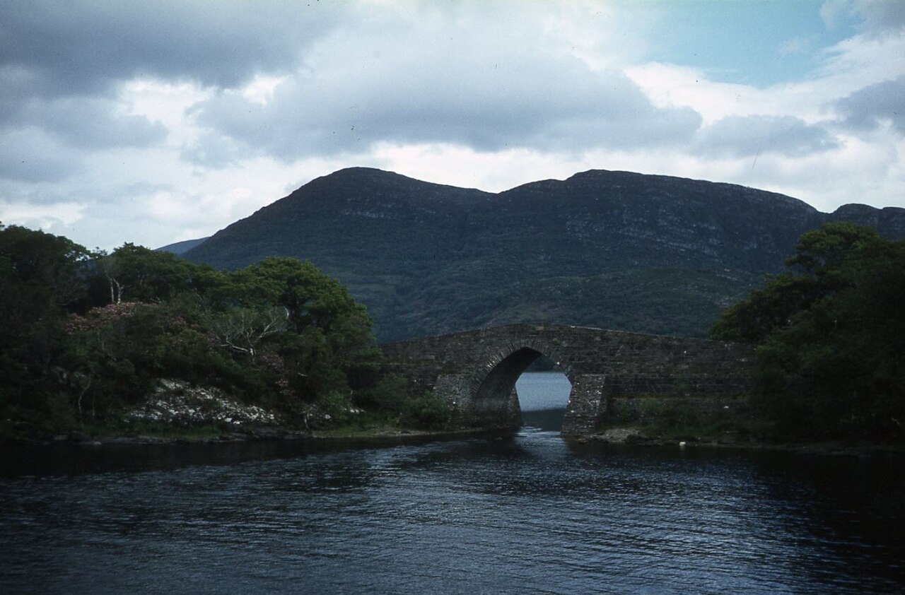
Route surroundings · Brickeen Bridge, Muckross Lake - geograph.org.uk - 6427834.jpg — Colin Park — CC BY-SA 2.0 (https://creativecommons.org/licenses/by-sa/2.0) — https://commons.wikimedia.org/wiki/File:Brickeen_Bridge,_Muckross_Lake_-_geograph.org.uk_-_6427834.jpg

Colin Park
CC BY-SA 2.0
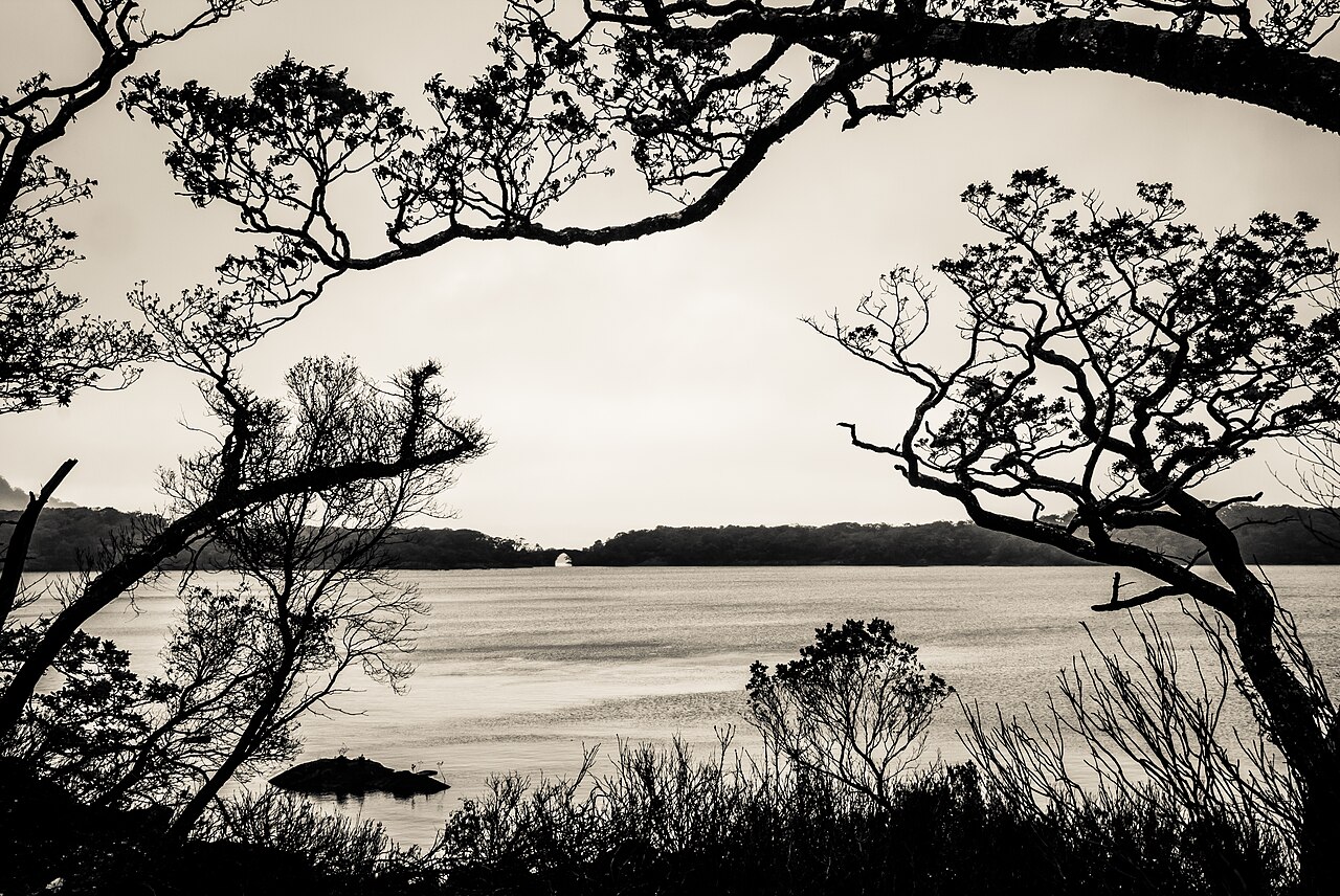
Route surroundings · Muckross Lake - Killarney National Park 003.jpg — Dieglop — CC BY-SA 4.0 (https://creativecommons.org/licenses/by-sa/4.0) — https://commons.wikimedia.org/wiki/File:Muckross_Lake_-_Killarney_National_Park_003.jpg

Dieglop
CC BY-SA 4.0
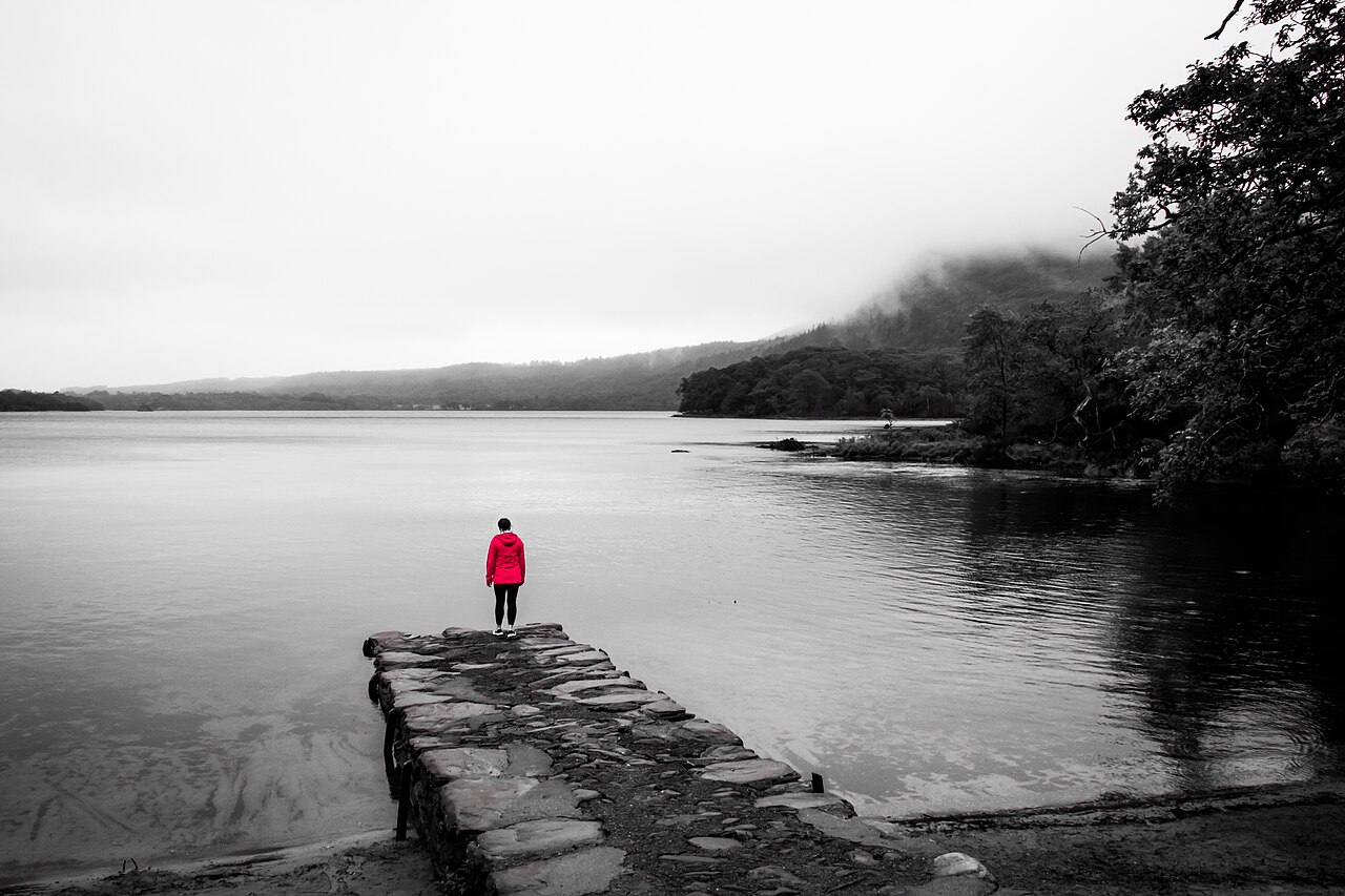
Route surroundings · Muckross Lake - Killarney National Park 004.jpg — Dieglop — CC BY-SA 4.0 (https://creativecommons.org/licenses/by-sa/4.0) — https://commons.wikimedia.org/wiki/File:Muckross_Lake_-_Killarney_National_Park_004.jpg

Dieglop
CC BY-SA 4.0
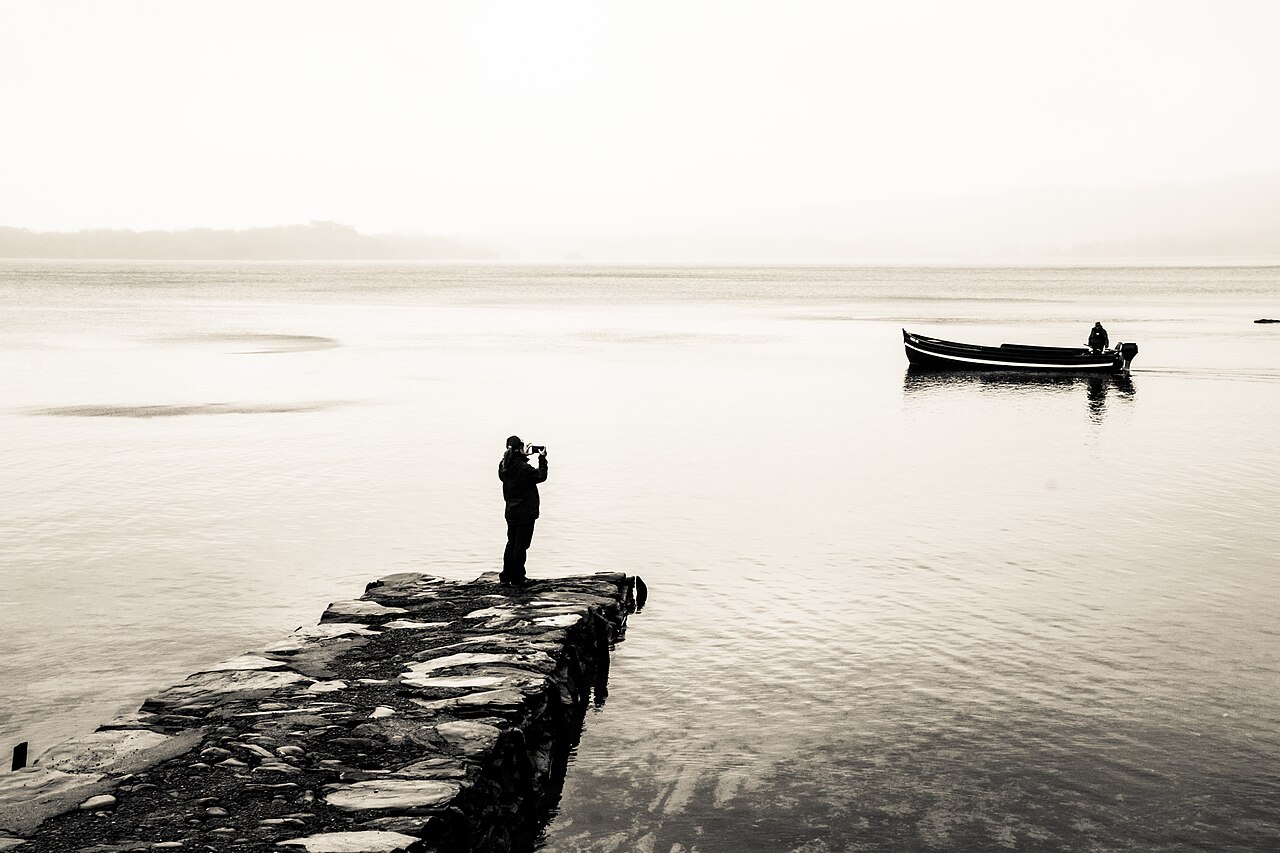
Route surroundings · Muckross Lake - Killarney National Park 006.jpg — Dieglop — CC BY-SA 4.0 (https://creativecommons.org/licenses/by-sa/4.0) — https://commons.wikimedia.org/wiki/File:Muckross_Lake_-_Killarney_National_Park_006.jpg

Dieglop
CC BY-SA 4.0
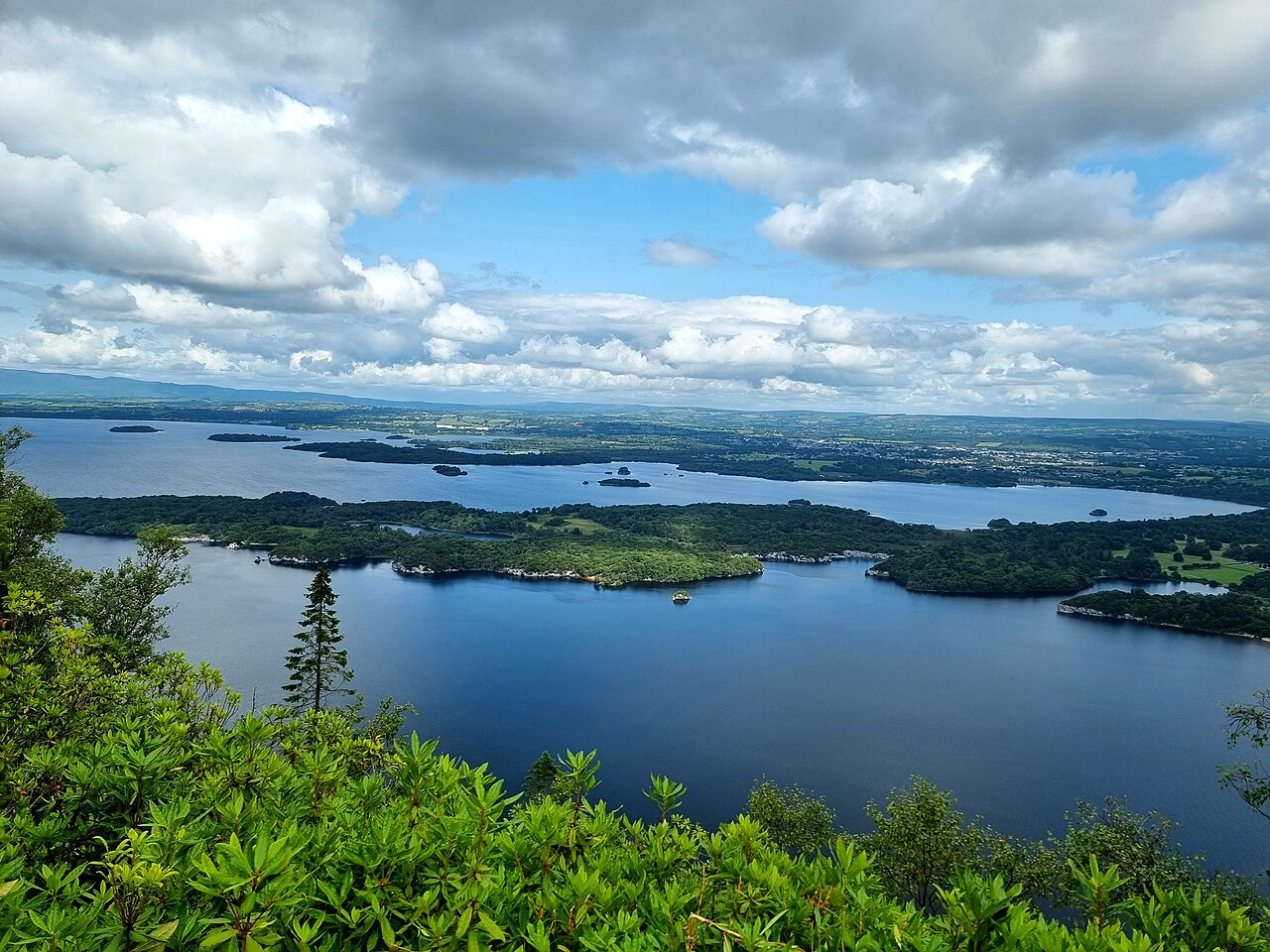
Route surroundings · Muckross Lake July 2023.jpg — Enter — CC BY-SA 4.0 (https://creativecommons.org/licenses/by-sa/4.0) — https://commons.wikimedia.org/wiki/File:Muckross_Lake_July_2023.jpg

Enter
CC BY-SA 4.0
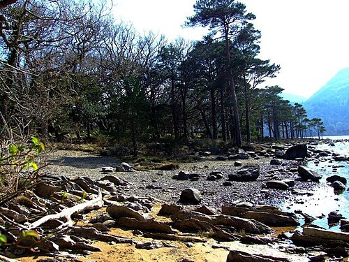
Route surroundings · Lakeshore, Muckross Lake, Killarney - geograph.org.uk - 1243353.jpg — Richard Fensome — CC BY-SA 2.0 (https://creativecommons.org/licenses/by-sa/2.0) — https://commons.wikimedia.org/wiki/File:Lakeshore,_Muckross_Lake,_Killarney_-_geograph.org.uk_-_1243353.jpg

Richard Fensome
CC BY-SA 2.0
View original activity in YouVisible
Weather on your route
Loading forecast…
Sources and credits
© OpenStreetMap contributors · ODbL 1.0 · https://hiking.waymarkedtrails.org/#route?id=2176213
OpenStreetMap contributors · Waymarked Trails · ODbL 1.0
Route photograph
Route surroundings · Brickeen Bridge, Muckross Lake - geograph.org.uk - 6427834.jpg — Colin Park — CC BY-SA 2.0 (https://creativecommons.org/licenses/by-sa/2.0) — https://commons.wikimedia.org/wiki/File:Brickeen_Bridge,_Muckross_Lake_-_geograph.org.uk_-_6427834.jpg
Colin Park · CC BY-SA 2.0 · Media source
Route photograph
Route surroundings · Muckross Lake - Killarney National Park 003.jpg — Dieglop — CC BY-SA 4.0 (https://creativecommons.org/licenses/by-sa/4.0) — https://commons.wikimedia.org/wiki/File:Muckross_Lake_-_Killarney_National_Park_003.jpg
Dieglop · CC BY-SA 4.0 · Media source
Route photograph
Route surroundings · Muckross Lake - Killarney National Park 004.jpg — Dieglop — CC BY-SA 4.0 (https://creativecommons.org/licenses/by-sa/4.0) — https://commons.wikimedia.org/wiki/File:Muckross_Lake_-_Killarney_National_Park_004.jpg
Dieglop · CC BY-SA 4.0 · Media source
Route photograph
Route surroundings · Muckross Lake - Killarney National Park 006.jpg — Dieglop — CC BY-SA 4.0 (https://creativecommons.org/licenses/by-sa/4.0) — https://commons.wikimedia.org/wiki/File:Muckross_Lake_-_Killarney_National_Park_006.jpg
Dieglop · CC BY-SA 4.0 · Media source
Route photograph
Route surroundings · Muckross Lake July 2023.jpg — Enter — CC BY-SA 4.0 (https://creativecommons.org/licenses/by-sa/4.0) — https://commons.wikimedia.org/wiki/File:Muckross_Lake_July_2023.jpg
Enter · CC BY-SA 4.0 · Media source
Route photograph
Route surroundings · Lakeshore, Muckross Lake, Killarney - geograph.org.uk - 1243353.jpg — Richard Fensome — CC BY-SA 2.0 (https://creativecommons.org/licenses/by-sa/2.0) — https://commons.wikimedia.org/wiki/File:Lakeshore,_Muckross_Lake,_Killarney_-_geograph.org.uk_-_1243353.jpg
Richard Fensome · CC BY-SA 2.0 · Media source