


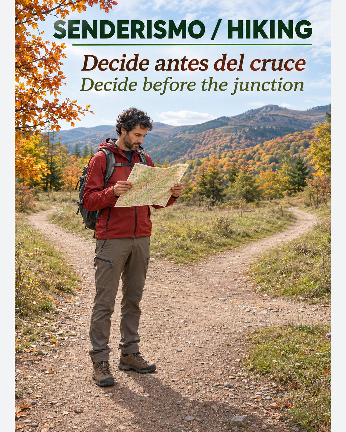
You reach a junction and the wider path looks obvious. The group keeps talking, someone turns and you decide to check the map a few minutes later. By then you have descended a slope you did not expect. Navigation starts before that moment: it means knowing what should happen next and which observation will make you stop if it does not happen.
A recreational hike does not need to become a cartography examination. It needs small decisions you can explain, check and revise. The aim is to maintain a known position throughout the walk, rather than trying to reconstruct the entire morning once uncertainty has become a problem.
A landmark should help you make a decision
A solitary tree may catch your attention while still looking like twenty others. A junction beside a distinct change in gradient may provide a more useful check. Ask what makes the place recognisable, which direction you expect afterwards and what would suggest that you chose the wrong branch. An attractive landmark does not necessarily answer those questions.
The federation guide from Mountaineering Scotland on planning and following a route explains how recognisable features connect the map with the ground. It also warns that a prominent feature can draw you towards a hazard. A cliff does not become a suitable practice point simply because it is easy to identify. Sources checked on 19/11/2026; editorial date 18/11/2026.
As an editorial practice suggestion, prepare one sentence for each section: “From the junction I follow the path gaining height gently; before the next turn I expect a broad bend.” This is not an instruction for an actual route. It is a way to rehearse describing your intention without relying on “I think it was this way”.
Divide the walk by decisions, rather than equal distances
Imagine a familiar walk with an uncomplicated track followed by several closely spaced paths. You do not need to stop everyone every five hundred metres along the track. Agreeing a check before entering the area with several junctions makes more sense. Allocate attention according to uncertainty and the consequences of making a mistake.
At home, identify where you will need to choose, where you can confirm the choice and where an uncomplicated return option exists. Choose a walk appropriate to your experience, your companions and the expected conditions. Preparation does not turn serious terrain into an accessible exercise or replace practical navigation instruction.
One person can read the map while another describes the surroundings. Compare those accounts without forcing them to agree. If someone mentions a stream that does not fit your expectations, that observation deserves a pause. It does not have to prove that the entire plan is wrong before it becomes useful information.
Check before leaving a known point behind
At a junction, gather in a place where stopping is safe and does not obstruct other walkers. Align the map with the surroundings, identify where you came from and explain where you intend to go. Your previous direction matters too: similar junctions may look different when approached from opposite sides.
The next question is specific: “What do we expect to find if this choice is correct?” A useful answer might include a general direction, a gradient change or a terrain feature. Avoid claiming a level of precision your materials or skills cannot support. A screen may support the decision; it does not erase a disagreement with the landscape.
If the path continues downhill when your plan requires gaining height, do not wait until you have covered a considerable distance before reviewing it. Equally, a brief rise is not definitive proof that you are correct. Compare several observations and distinguish a clue from enough evidence to support a decision.
Timing should prompt a question
Mud, stops, luggage and the group's pace can all change how long a section takes. A planned arrival time therefore does not prove your location. Its practical value is to remind you that you have walked a long time without finding the expected feature and should review the situation before continuing further.
In a fictional example, Marta and Luis expect to reach a junction after a short section. They stop for photographs and take longer, but recognise both the predicted terrain and the turning. Exceeding their estimate does not make them wrong. On another day they walk continuously and encounter an unexpected prolonged descent: now they review their direction, the ground and their last confirmed position.
Do not transfer walking speeds from a guide to every route you attempt. This is particularly inappropriate in winter mountains, snow, poor visibility or technical terrain. Initial practice should allow mistakes without exposure and calm corrections, preferably with a qualified instructor who can explain the decisions as they happen.
Resolve uncertainty by gathering information
The federation's guidance on navigation errors recommends stopping and reconstructing the available information. For recreational walking, the cautious application is to avoid adding random movement. Identify your last confirmed location and compare observations before choosing another action.
Retracing your steps is an option only when you recognise the way and it remains safe. Do not shortcut towards a road that merely looks close, follow a gully down on instinct or split the group to try different paths. If an emergency exists or you cannot keep the group safe, seek assistance from the local emergency services.
Ending the walk is also a valid decision. Having an alternative makes it possible to choose it before haste, cold or remaining daylight erode your margin. Reaching an objective does not compensate for losing the ability to explain where you are and how you can return safely.
An agreement everyone can explain
Before leaving a known point, ask two group members to describe the next decision independently. If their answers differ, resolve the disagreement there rather than walking on to discuss it later. On a family outing, a simple question might be: “What will we see before choosing again?” Do not turn the activity into a test for children or delegate navigation responsibility to them. The responsible adult retains the decision and chooses an outing appropriate to the whole group.
A simple exercise for your next hike
Choose a familiar, waymarked route without exposure. Before setting off, select two decision points and tell your companion what you will check at each. During the walk, swap roles: the person who usually follows describes the next section, while the other listens without immediately supplying the answer.
Afterwards, discuss which landmarks were clear and which descriptions were too vague. A note such as “the bend before the junction identifies it better than the tree” may help on a repeat visit. It is not a permanent guarantee: terrain, signs and vegetation can all change between visits.
The improvement you want is visible in your behaviour. You pause before uncertainty grows serious, ask specific questions and correct mistakes without inventing a bigger adventure. On your next hike, name the next decision point before leaving the current one behind. Knowing what you expect to find leaves more attention available for enjoying the walk itself.