


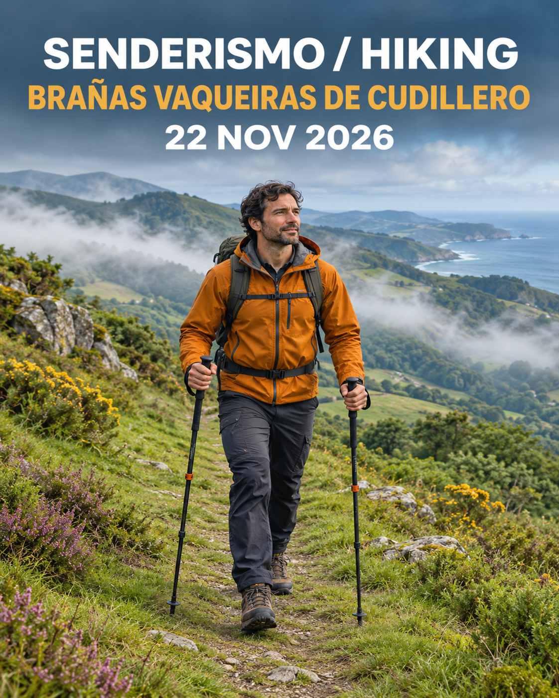
Choosing a route means choosing a margin
Seven extra kilometres can look like a straightforward addition: if you walk regularly, perhaps you just need a little longer. At Brañas Vaqueiras de Cudillero, choosing between 12 and 19 km requires other questions. Where does the climbing happen? How carefully must you place each foot when tired? What options remain if the weather changes? Distance starts the discussion, but cannot finish it.
The useful decision is to choose a day everyone can manage with enough capacity left to respond to difficulties. This guide offers a comparison method. It does not assign new official difficulty ratings or identify withdrawal points that the organiser has not confirmed. A shorter choice can be a positive sporting decision rather than a compromise that needs an apology.
Official event facts and their limits
Editorial date: 10/11/2026. Documentary verification: 11/11/2026. The FEMPA announcement places the first gathering on 22 November 2026 in San Martín de Luiña, organised by CD Peña La Chiruca, with 12 km and 19 km alternatives. It gives approximately 600 m of ascent and an estimated five to six hours for the activity, without clearly allocating those figures to each variant.
We therefore do not assign that ascent or duration to both routes. Request the specific profile and terrain information for your choice. A general event description cannot establish an individual finishing time. Check registration, required equipment, weather communications and any late changes with the organiser before travelling.
Compare ascent and where it happens
Ask for ascent and descent on each route, then locate the principal climbs. One option may put much of its work early; another may leave demanding ground until people are tired. Descending also requires attention. It is not automatically recovery, particularly when walkers must control each step on an irregular surface.
The Montaña Segura MIDE method separates environmental demands, navigation, movement and effort. Use those distinctions to ask better questions, without inventing a MIDE score for this event. A profile describes height changes; it cannot establish whether a path will be muddy or replace information from people who know the ground.
Ask about the surface as well as the scenery
Firm tracks, wet grass and uneven stones can produce very different walking speeds. Ask where people need to move in single file, whether slippery slopes are expected and what footwear the organiser recommends. A sunny promotional picture is not evidence of Sunday's conditions. Nor does a familiar place name show that you have walked the actual variant.
An observable clue is how often you must slow down to choose a secure foot placement on comparable ground. If that happens frequently, a longer section of similar terrain will take more time than your usual walk. Compare recent, relevant experiences rather than your fastest road pace. Poles can help when you know how to use them; carrying unfamiliar equipment does not guarantee stability.
Separate moving time, stops and the whole day
Waiting, refreshments, clothing adjustments and group breaks all belong in the schedule. Watch averages may exclude stops, so two apparently identical records can describe quite different outings. Transport and daylight planning depend on elapsed time from departure to arrival, with room for reasonable delays.
As an editorial example, two walkers may spend the same time moving while one needs several additional rests. Their return arrangements should account for that difference. We do not calculate a Cudillero finish time here because the individual route information and the group's actual pace are incomplete. The Montaña Segura planning leaflet provides a useful framework for preparing alternatives.
Include the person who needs the most margin
Ask everyone about their last comparable walk and how they felt at the end. Reaching the finish is not the same as finishing comfortably. If someone needed sustained assistance or was exhausted, review duration and terrain before adding distance. Avoid treating silence as agreement, particularly when a newer walker is surrounded by experienced friends.
Choose an option nobody has to defend as a test of courage. In a mixed group, the shorter alternative may allow a more sociable day and less pressure. If people choose different routes, each subgroup needs suitable independence, communication and confirmed transport. Saying that you will meet later is insufficient when the practical arrangements remain unclear.
Weather and decision points
Check a forecast close to departure and the organiser's communications. Rain, wind and poor visibility may change the available margin without changing a single kilometre. Prepare clothing for the conditions and make sure you can reach useful items without emptying the entire bag in the rain. Equipment should support a plan you understand.
Ask which withdrawal points are authorised and how support operates. A line on a map is not a guaranteed evacuation option. If support information is unverified, do not build your plan around an assumed intermediate exit. Avoid leaving the marked itinerary to create your own shortcut. Explain the difficulty to event staff and follow their instructions instead.
Observable reasons to reassess while walking
Notice repeated stumbles, widening gaps and increasing difficulty maintaining the agreed conversational pace. These are practical prompts to review the group, not diagnoses. Someone may simply be quiet because they are concentrating. Ask without embarrassing them and give their answer space to change the plan.
Review progress before a demanding section rather than waiting until the end. If movement is slower than expected, discuss safe options with the responsible staff. A time margin exists to support decisions; it is not an invitation to recover lost minutes by rushing downhill. Significant illness or an incident requires help through the event's actual procedure.
Common mistakes
Choosing 19 km because a friend does, extrapolating an urban walking pace and relying on an unconfirmed shortcut are frequent errors. Another is assuming that registration makes the route suitable for every level of preparation. An organised event provides a framework, while each participant still needs an appropriate choice.
Do not add an exhausting last-minute test to prove you can cope. Review familiar equipment, rest and logistics instead. When essential details about the longer route are missing, a more conservative choice can be useful, provided that its own demands are suitable too. The shorter number alone does not establish that suitability.
Final checklist
- I have the profile and conditions for my chosen option.
- I distinguish ascent, terrain, moving time and elapsed time.
- Everyone has contributed without pressure to choose further.
- I have checked the forecast and required equipment.
- Support, withdrawal procedures and transport are confirmed.
- I can adapt the day without turning it into a test.
Use YouVisible to organise the outing and share the route decision with your group. Include the official link and unresolved questions so everyone understands the plan before starting to walk.